Wollaston

Settlement in Worcestershire

England

Wollaston

Bonded Warehouse, Stourbridge This building is a restored bonded warehouse in Canal St, Stourbridge
Bonded Warehouse, Stourbridge Credit: Rob Newman

Wollaston is a small village located in the county of Worcestershire, England. Situated on the banks of the River Stour, it is nestled in the picturesque Wyre Forest District. With a population of around 2,500 residents, Wollaston offers a close-knit community atmosphere.

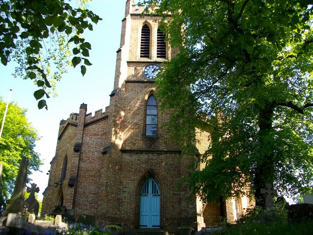
The village has a rich history dating back to the medieval period, and it still retains some of its original charm. The St. James Church, a Grade II listed building, stands as a prominent landmark, showcasing its stunning architecture. Wollaston also boasts a range of historic houses and cottages, adding to its characterful appeal.

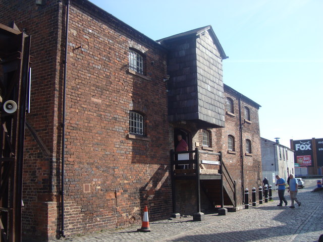
Despite its small size, Wollaston offers a variety of amenities for its residents. There is a primary school, providing education for local children, as well as a village hall that hosts various community events. The village also features a convenience store, a post office, and a few local shops, catering to the daily needs of its inhabitants.

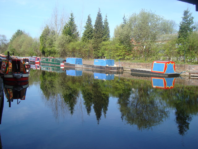
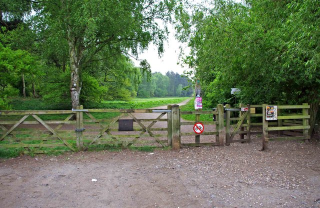
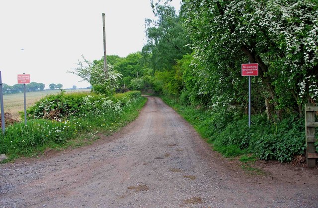
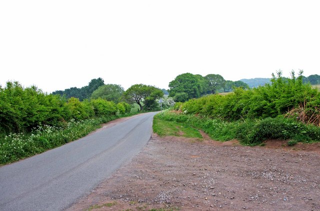
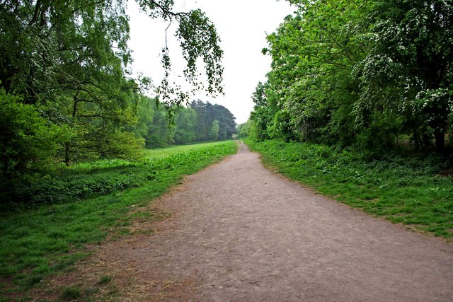
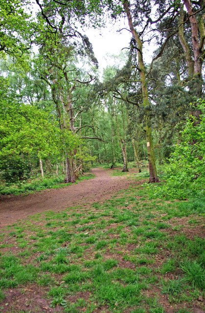
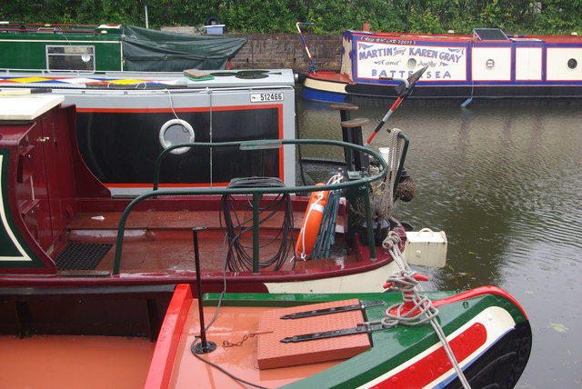
Nature enthusiasts can explore the nearby Wyre Forest, a vast woodland area perfect for walking, cycling, and wildlife spotting. The forest is home to a diverse range of flora and fauna, creating a haven for outdoor enthusiasts. Additionally, the River Stour offers opportunities for fishing and boating.

Transport links in Wollaston are well-connected, with regular bus services to neighboring towns and cities. The village is conveniently located near Kidderminster, providing access to further amenities and employment opportunities.

Overall, Wollaston presents a charming rural village lifestyle, with its historical significance, community spirit, and beautiful natural surroundings.

If you have any feedback on the listing, please let us know in the comments section below.
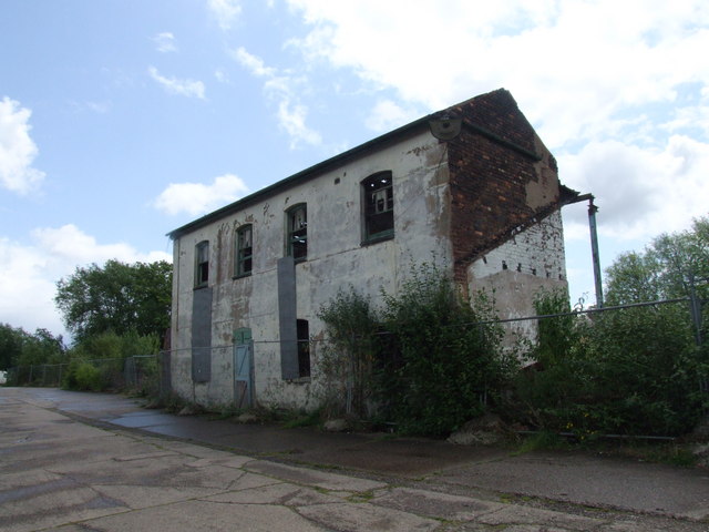
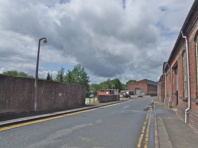
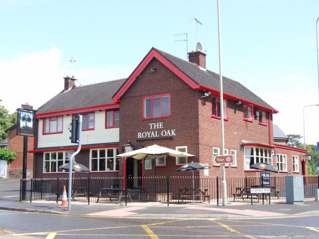
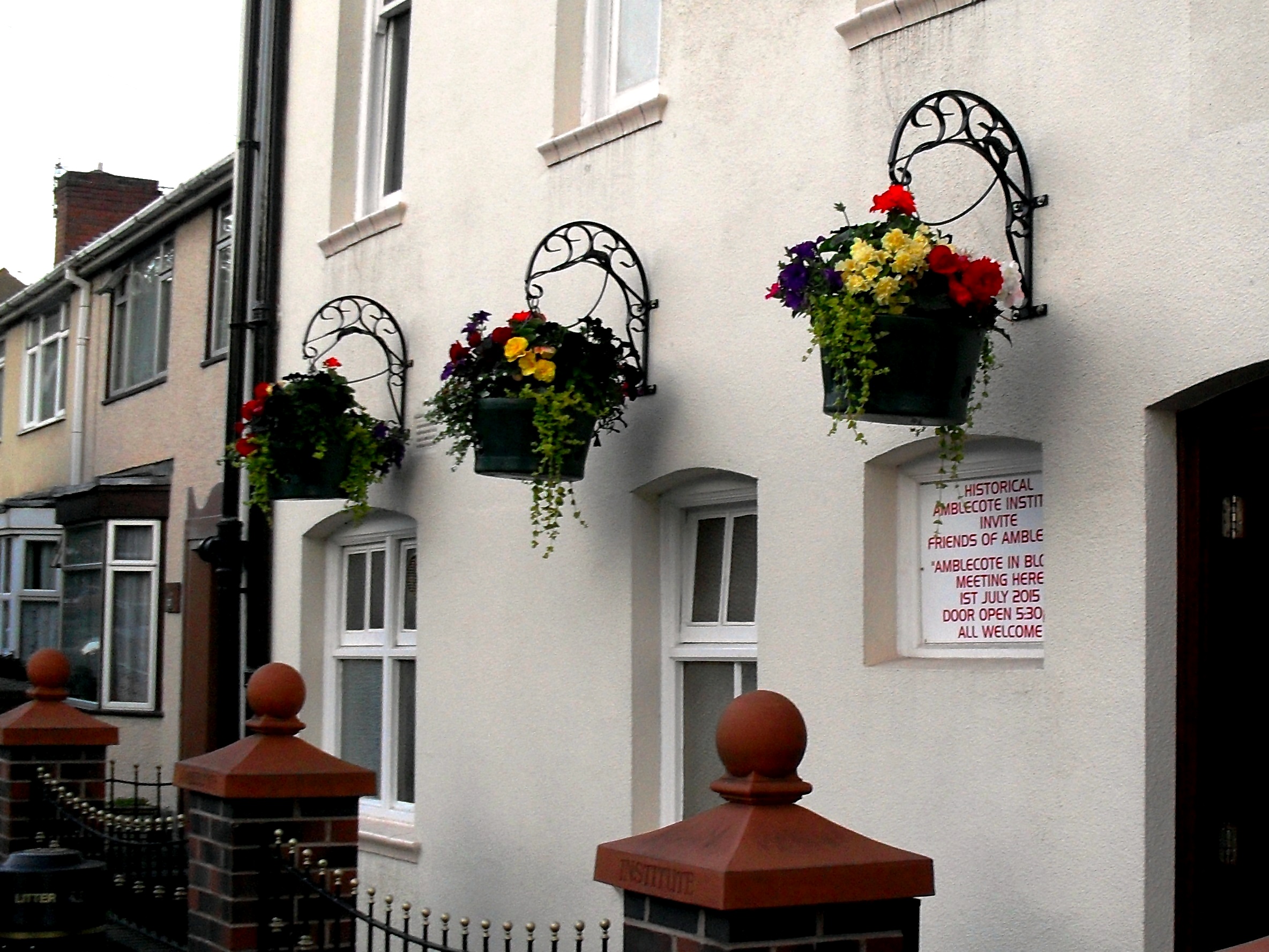
Wollaston Images

Images are sourced within 2km of 52.458386/-2.170687 or Grid Reference SO8884. Thanks to Geograph Open Source API. All images are credited.

Bonded Warehouse, Stourbridge This building is a restored bonded warehouse in Canal St, Stourbridge
Bonded Warehouse, Stourbridge
This building is a restored bonded warehouse in Canal St, Stourbridge
Derelict Building, Stourbridge This dilapilated building is to be found in Canal Street, Stourbridge
Derelict Building, Stourbridge
This dilapilated building is to be found in Canal Street, Stourbridge
Stourbridge Canal Basin Viewed from beside the bonded warehouse in Canal Street this is the terminal basin of the Stourbridge Canal
Stourbridge Canal Basin
Viewed from beside the bonded warehouse in Canal Street this is the terminal basin of the Stourbridge Canal
Parish Church of the Holy Trinity Amblecote Opened for service in 1842
Parish Church of the Holy Trinity Amblecote
Opened for service in 1842
Entrance to Bunkers Hill Wood from Whittington Hall Lane near Whittington Bunkers Hill Wood is owned and managed by the Woodland Trust, a registered charity. Like all their sites, it is open to the public, and although there are only two public footpaths within the wood, there are a large number of other paths which are permissive footpaths. This view shows one of the entrances, adjacent to which is a small area for car parking.
Entrance to Bunkers Hill Wood from Whittington Hall Lane near Whittington
Bunkers Hill Wood is owned and managed by the Woodland Trust, a registered charity. Like all their sites, it is open to the public, and although there are only two public footpaths within the wood, there are a large number of other paths which are permissive footpaths. This view shows one of the entrances, adjacent to which is a small area for car parking.
Sandy Lane near Whittington This lane runs between Whittington Hall Lane and the edge of the town of Stourbridge. There is a public footpath running along its whole length. For part of the way, it runs adjacent to Bunkers Hill Wood.
Sandy Lane near Whittington
This lane runs between Whittington Hall Lane and the edge of the town of Stourbridge. There is a public footpath running along its whole length. For part of the way, it runs adjacent to Bunkers Hill Wood.
Whittington Hall Lane near Whittington On the left of the lane is a gravelled area, which can be used by visitors to the nearby Bunkers Hill Woods, when the small car park by the wood's entrance is full.
Whittington Hall Lane near Whittington
On the left of the lane is a gravelled area, which can be used by visitors to the nearby Bunkers Hill Woods, when the small car park by the wood's entrance is full.
Public footpath in Bunkers Hill Wood near Whittington This public footpath, which starts here at the entrance to the wood from Whittington Hall Lane, is one of the two public footpaths to be found in the woods. There are many other paths there however, which the public can use, but they are permissive footpaths. These date from when the wood was used for shooting purposes. This was before its acquisition by the Woodland Trust.
Public footpath in Bunkers Hill Wood near Whittington
This public footpath, which starts here at the entrance to the wood from Whittington Hall Lane, is one of the two public footpaths to be found in the woods. There are many other paths there however, which the public can use, but they are permissive footpaths. These date from when the wood was used for shooting purposes. This was before its acquisition by the Woodland Trust.
Bunkers Hill Wood near Whittington Hall Lane Bunkers Hill Wood is about half a mile west of Stourbridge. According to its owners, the Woodland Trust, it contains a mixture of predominantly secondary plantation trees with mature and veteran broadleaves and conifers, including Sweet Chestnut, Oak, Scots Pine and Corsican Pine. These are contrasted by younger stands of broadleaves and conifers and areas of naturally regenerated Birch.

The site, which was formerly part of Iverley Heath, was originally planted around 1860, with subsequent replanting as recently as 20 to 25 years ago.
Bunkers Hill Wood near Whittington Hall Lane
Bunkers Hill Wood is about half a mile west of Stourbridge. According to its owners, the Woodland Trust, it contains a mixture of predominantly secondary plantation trees with mature and veteran broadleaves and conifers, including Sweet Chestnut, Oak, Scots Pine and Corsican Pine. These are contrasted by younger stands of broadleaves and conifers and areas of naturally regenerated Birch. The site, which was formerly part of Iverley Heath, was originally planted around 1860, with subsequent replanting as recently as 20 to 25 years ago.
A litter bin and two dog waste bins at Bunkers Hill Wood, near Whittington Bunkers Hill Wood is only about half a mile from the edge of the town of Stourbridge, It is therefore a very popular spot with people from there for walking with, or without, dogs. These bins are conveniently situated near the entrance from Whittington Hall Lane. Normally the wood would have a lot of visitors, but on the day of the wedding of Prince William and Kate Middleton, it was very quiet.
A litter bin and two dog waste bins at Bunkers Hill Wood, near Whittington
Bunkers Hill Wood is only about half a mile from the edge of the town of Stourbridge, It is therefore a very popular spot with people from there for walking with, or without, dogs. These bins are conveniently situated near the entrance from Whittington Hall Lane. Normally the wood would have a lot of visitors, but on the day of the wedding of Prince William and Kate Middleton, it was very quiet.
Narrowboats at Stourbridge Narrowboats moored, in the rain, close to the end of the Stourbridge Town Arm.
Narrowboats at Stourbridge
Narrowboats moored, in the rain, close to the end of the Stourbridge Town Arm.
Derelict industrial site - Canal Street, Stourbridge Right by the Stourbridge Town canal arm, stands this forlorn former steel rolling mill. There are plans to redevelop the site for housing.
Derelict industrial site - Canal Street, Stourbridge
Right by the Stourbridge Town canal arm, stands this forlorn former steel rolling mill. There are plans to redevelop the site for housing.
Canal Street, Stourbridge
Old Wharf Road, Stourbridge
Mill Race Lane, Stourbridge
The Royal Oak, Stourbridge I forgot I had already photographed this pub exactly a year earlier.

<a title="https://www.geograph.org.uk/photo/1928039" href="https://www.geograph.org.uk/photo/1928039">Link</a>

Looks like it has had a lick of paint!
The Royal Oak, Stourbridge
I forgot I had already photographed this pub exactly a year earlier. Link Looks like it has had a lick of paint!
Show me another place!

Wollaston is located at Grid Ref: SO8884 (Lat: 52.458386, Lng: -2.170687)

Unitary Authority: Dudley

Police Authority: West Midlands

What 3 Words

///polite.upward.fried. Near Stourbridge, West Midlands

Nearby Locations

Allotment Covert Wollaston

Related Wikis

Ridgewood High School, Wollaston

Ridgewood High School is a coeducational secondary school, a part of the Stour Vale Academy Trust situated in Wollaston (near Stourbridge), in the West...

Wollaston, West Midlands

Wollaston is a village on the outskirts of Stourbridge in the English West Midlands. It is located in the south of the Dudley Metropolitan Borough, one...

Amblecote

Amblecote is an affluent urban village in the Metropolitan Borough of Dudley in the West Midlands, England. It lies immediately north of the historic town...

Norton, Stourbridge

Norton is a suburb and council ward in the town of Stourbridge, West Midlands. It has a population of 11,943 in an area of 569 hectares. The population...

Nearby Amenities

Located within 500m of 52.458386,-2.170687
Bus Stop
High Park Ave / Harmon Rd
NaPTANAreaCode: 43000825501
Bus: yes
Naptan AtcoCode: 43000825501
Naptan Bearing: N
Naptan BusStopType: MKD
Naptan CommonName: Harmon Rd
Naptan Indicator: adj
Naptan NaptanCode: nwmjtjmg
Naptan PlusbusZoneRef: BHAMNWS
Naptan Status: ACT
Naptan StopType: BCT
Naptan Street: HIGH PARK AVE
Naptan Towards: Wollaston
Naptan Verified: no
Public Transport: platform
Route Ref: 276
Shelter: yes
Shelter Ref: 408207
Source: WMCA
Lat/Long: 52.4546526/-2.1689846
Bus Stop
High Park Ave / Harmon Rd
Bus: yes
Naptan AtcoCode: 43000825502
Naptan Bearing: S
Naptan BusStopType: MKD
Naptan CommonName: Harmon Rd
Naptan Indicator: opp
Naptan NaptanCode: nwmjtjmj
Naptan PlusbusZoneRef: BHAMNWS
Naptan Status: ACT
Naptan StopType: BCT
Naptan Street: HIGH PARK AVE
Naptan Towards: Stourbridge
Naptan Verified: no
Public Transport: platform
Route Ref: 251;276
Source: WMCA
Lat/Long: 52.4550218/-2.1686181
Bus Stop
High Park Ave / Park Rd
Bus: yes
Naptan AtcoCode: 43000825601
Naptan Bearing: S
Naptan BusStopType: MKD
Naptan CommonName: Park Rd
Naptan Indicator: adj
Naptan NaptanCode: nwmjtjmp
Naptan PlusbusZoneRef: BHAMNWS
Naptan Status: ACT
Naptan StopType: BCT
Naptan Street: HIGH PARK AVE
Naptan Towards: Stourbridge
Naptan Verified: no
Public Transport: platform
Route Ref: 251;276
Source: WMCA
Lat/Long: 52.4565692/-2.1678146
Bus Stop
High Park Ave / Park Rd
NaPTANAreaCode: 43000825602
Bus: yes
Naptan AtcoCode: 43000825602
Naptan Bearing: N
Naptan BusStopType: MKD
Naptan CommonName: Park Rd
Naptan Indicator: opp
Naptan NaptanCode: nwmjtjmt
Naptan PlusbusZoneRef: BHAMNWS
Naptan Status: ACT
Naptan StopType: BCT
Naptan Street: HIGH PARK AVE
Naptan Towards: Wollaston
Naptan Verified: no
Public Transport: platform
Route Ref: 276
Shelter: yes
Shelter Ref: 408217
Source: WMCA
Lat/Long: 52.4579095/-2.1672751
Bus Stop
Bridgnorth Rd / Bridle Rd
Bus: yes
Naptan AtcoCode: 43000826501
Naptan Bearing: SE
Naptan BusStopType: MKD
Naptan CommonName: Bridle Rd
Naptan Indicator: adj
Naptan NaptanCode: nwmjtjtd
Naptan PlusbusZoneRef: BHAMNWS
Naptan Status: ACT
Naptan StopType: BCT
Naptan Street: BRIDGNORTH RD
Naptan Towards: Stourbridge
Naptan Verified: no
Public Transport: platform
Route Ref: 227;228;X96
Shelter: no
Source: WMCA
Lat/Long: 52.4597415/-2.1687244
Bus Stop
Bridle Rd / Vicarage Rd
Bus: yes
Naptan AtcoCode: 43000826601
Naptan Bearing: S
Naptan BusStopType: MKD
Naptan CommonName: Vicarage Rd
Naptan Indicator: adj
Naptan NaptanCode: nwmjtjtj
Naptan PlusbusZoneRef: BHAMNWS
Naptan Status: ACT
Naptan StopType: BCT
Naptan Street: BRIDLE RD
Naptan Towards: Stourbridge
Naptan Verified: no
Public Transport: platform
Route Ref: 227;228;X96
Source: WMCA
Lat/Long: 52.4625714/-2.1701041
Bus Stop
Bridle Rd / Vicarage Rd
Bus: yes
Naptan AtcoCode: 43000826602
Naptan Bearing: N
Naptan BusStopType: MKD
Naptan CommonName: Vicarage Rd
Naptan Indicator: opp
Naptan NaptanCode: nwmjtjtm
Naptan PlusbusZoneRef: BHAMNWS
Naptan Status: ACT
Naptan StopType: BCT
Naptan Street: BRIDLE RD
Naptan Towards: Kinver
Naptan Verified: no
Public Transport: platform
Route Ref: 227;228
Source: WMCA
Lat/Long: 52.4627781/-2.1702079
Bus Stop
Bridle Rd / Bridgnorth Rd
Bus: yes
Naptan AtcoCode: 43000826801
Naptan Bearing: N
Naptan BusStopType: MKD
Naptan CommonName: Bridgnorth Rd
Naptan Indicator: after
Naptan NaptanCode: nwmjtjwa
Naptan PlusbusZoneRef: BHAMNWS
Naptan Status: ACT
Naptan StopType: BCT
Naptan Street: BRIDLE RD
Naptan Towards: Kinver
Naptan Verified: no
Public Transport: platform
Route Ref: 227;228
Source: WMCA
Lat/Long: 52.4600346/-2.1693983
Gregory Rd / Grounds
Naptan AtcoCode: 43000827901
Naptan Bearing: E
Naptan BusStopType: CUS
Naptan CommonName: Grounds
Naptan Indicator: opp
Naptan NaptanCode: nwmtdgpm
Naptan PlusbusZoneRef: BHAMNWS
Naptan Status: ACT
Naptan StopType: BCT
Naptan Street: GREGORY RD
Naptan Verified: no
Source: WMCA
Lat/Long: 52.4564018/-2.1717286
Pub
The Princess
Addr Housenumber: 115
Addr Postcode: DY8 3NX
Addr Street: Bridgnorth Road
Fhrs Id: 1214158
Operator: Stonegate
Operator Wikidata: Q7619176
Source Addr: FHRS Open Data
Website: https://www.craftunionpubs.com/princess-wollaston
Lat/Long: 52.4601946/-2.1640146
Pub
The Gate Hangs Well
Addr Postcode: DY8 3NJ
Addr Street: Highpark Avenue
Fhrs Id: 500604
Source Addr: FHRS Open Data
Lat/Long: 52.4596851/-2.1660389
Pub
The Unicorn
Addr Housenumber: 145
Addr Postcode: DY8 3NX
Addr Street: Bridgnorth Road
Fhrs Id: 500162
Source Addr: FHRS Open Data
Lat/Long: 52.4600704/-2.1647012
Wollaston
Place: suburb
Wikidata: Q8030309
Lat/Long: 52.4607307/-2.1648733
Give Way
Source: bing
Lat/Long: 52.4597879/-2.1661905
Give Way
Source: bing
Lat/Long: 52.4598545/-2.1663406
Post Office
Wollaston Post Office
Addr City: Stourbridge
Addr Housenumber: 157
Addr Postcode: DY8 3NU
Addr Street: Bridgnorth Road
Brand: Post Office
Brand Wikidata: Q1783168
Fhrs Id: 896346
Opening Hours: Mo-Sa 09:00-17:30
Ref Pol Id: 8450
Source: pol_branch_list_2018-02
Website: https://www.postoffice.co.uk/branch-finder/2242087/wollaston
Lat/Long: 52.4597719/-2.165598
Generator Method: photovoltaic
Generator Output Electricity: yes
Generator Source: solar
Generator Type: solar_photovoltaic_panel
Location: roof
Power: generator
Lat/Long: 52.4585787/-2.1633813
Generator Method: photovoltaic
Generator Output Electricity: yes
Generator Source: solar
Generator Type: solar_photovoltaic_panel
Location: roof
Power: generator
Lat/Long: 52.4596565/-2.1672329
Generator Method: photovoltaic
Generator Output Electricity: yes
Generator Source: solar
Generator Type: solar_photovoltaic_panel
Location: roof
Power: generator
Lat/Long: 52.4603838/-2.1681033
Generator Method: photovoltaic
Generator Output Electricity: yes
Generator Source: solar
Generator Type: solar_photovoltaic_panel
Location: roof
Power: generator
Lat/Long: 52.4603765/-2.1682106
Generator Method: photovoltaic
Generator Output Electricity: yes
Generator Source: solar
Generator Type: solar_photovoltaic_panel
Location: roof
Power: generator
Lat/Long: 52.4608929/-2.1697998
Generator Method: photovoltaic
Generator Output Electricity: yes
Generator Source: solar
Generator Type: solar_photovoltaic_panel
Location: roof
Power: generator
Lat/Long: 52.4589252/-2.1713501
Generator Method: photovoltaic
Generator Output Electricity: yes
Generator Source: solar
Generator Type: solar_photovoltaic_panel
Location: roof
Power: generator
Lat/Long: 52.458716/-2.1729943
Generator Method: photovoltaic
Generator Output Electricity: yes
Generator Source: solar
Generator Type: solar_photovoltaic_panel
Location: roof
Power: generator
Lat/Long: 52.4585771/-2.1736917
Generator Method: photovoltaic
Generator Output Electricity: yes
Generator Source: solar
Generator Type: solar_photovoltaic_panel
Location: roof
Power: generator
Lat/Long: 52.4584054/-2.1728388
Generator Method: photovoltaic
Generator Output Electricity: yes
Generator Source: solar
Generator Type: solar_photovoltaic_panel
Location: roof
Power: generator
Lat/Long: 52.4570718/-2.1694726
Generator Method: photovoltaic
Generator Output Electricity: yes
Generator Source: solar
Generator Type: solar_photovoltaic_panel
Location: roof
Power: generator
Lat/Long: 52.454352/-2.1685338
Crossing
Crossing: pedestrian_signals
Lat/Long: 52.4598995/-2.1658595
Crossing
Button Operated: yes
Crossing: traffic_signals
Crossing Markings: dots
Lat/Long: 52.4567845/-2.1677614
Generator Method: photovoltaic
Generator Output Electricity: yes
Generator Source: solar
Generator Type: solar_photovoltaic_panel
Location: roof
Power: generator
Lat/Long: 52.4559211/-2.1696778
Generator Method: photovoltaic
Generator Output Electricity: yes
Generator Source: solar
Generator Type: solar_photovoltaic_panel
Location: roof
Power: generator
Lat/Long: 52.4559783/-2.1700627
Barrier: stile
Bicycle: no
Foot: yes
Horse: no
Motor Vehicle: no
Stile: stepover
Lat/Long: 52.4599423/-2.176719
Crossing
Crossing: unmarked
Crossing Island: no
Crossing Markings: no
Tactile Paving: yes
Lat/Long: 52.4570014/-2.1679035
Barrier: kerb
Kerb: flush
Tactile Paving: yes
Lat/Long: 52.4567698/-2.1676866
Give Way
Direction: forward
Lat/Long: 52.4559013/-2.1682946
Give Way
Direction: backward
Lat/Long: 52.4549834/-2.1687694
Crossing
Crossing: unmarked
Crossing Island: no
Crossing Markings: no
Tactile Paving: yes
Lat/Long: 52.456982/-2.1674081
Barrier: kerb
Kerb: flush
Tactile Paving: yes
Lat/Long: 52.4569525/-2.1674214
The data included in this document is from www.openstreetmap.org. The data is made available under ODbL.

Have you been to Wollaston?

Leave your review of Wollaston below (or comments, questions and feedback).