Wokingham
Settlement in Berkshire
England
Wokingham

Wokingham is a historic market town located in the county of Berkshire, England. With a population of around 41,000, it is a vibrant and thriving community known for its rich history and picturesque surroundings. Situated approximately 33 miles west of London, Wokingham offers a perfect blend of countryside charm and urban convenience.
The town dates back to the Saxon period and is home to several well-preserved medieval buildings, including the striking All Saints' Church and the Grade I listed 17th-century town hall. These architectural gems are a testament to Wokingham's cultural heritage and provide a unique character to the town.
Wokingham boasts a bustling town center with a variety of shops, restaurants, and cafes, catering to both local residents and visitors. The town's vibrant market, held every Tuesday, showcases a range of local produce and crafts, adding to the town's charm and providing a delightful shopping experience.
Green spaces are plentiful in Wokingham, with numerous parks and nature reserves dotting the surrounding areas. Dinton Pastures Country Park, located just outside the town, offers a tranquil retreat with its lakes, meadows, and woodland trails, perfect for leisurely walks and outdoor activities.
Education is well catered for in Wokingham, with a range of excellent schools and a highly regarded further education college. The town also benefits from good transport links, including a train station and easy access to major road networks, making it an attractive location for commuters.
Overall, Wokingham's combination of historical charm, natural beauty, and convenient amenities make it a sought-after place to live, work, and visit in the heart of Berkshire.
If you have any feedback on the listing, please let us know in the comments section below.
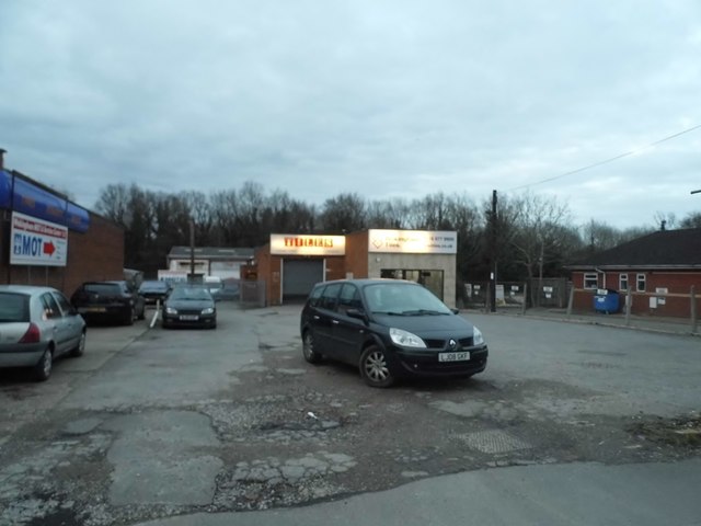
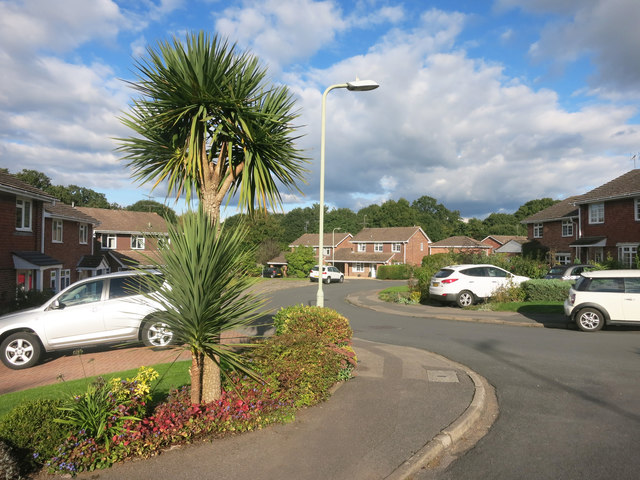
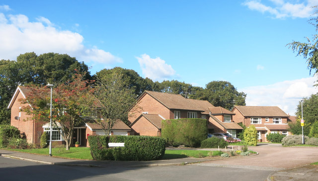
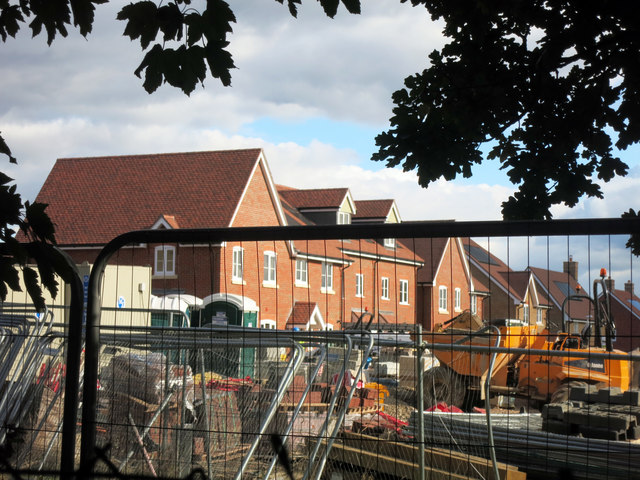
Wokingham Images
Images are sourced within 2km of 51.410213/-0.832928 or Grid Reference SU8168. Thanks to Geograph Open Source API. All images are credited.


Wokingham is located at Grid Ref: SU8168 (Lat: 51.410213, Lng: -0.832928)
Unitary Authority: Wokingham
Police Authority: Thames Valley
What 3 Words
///often.fact.level. Near Wokingham, Berkshire
Nearby Locations
Related Wikis
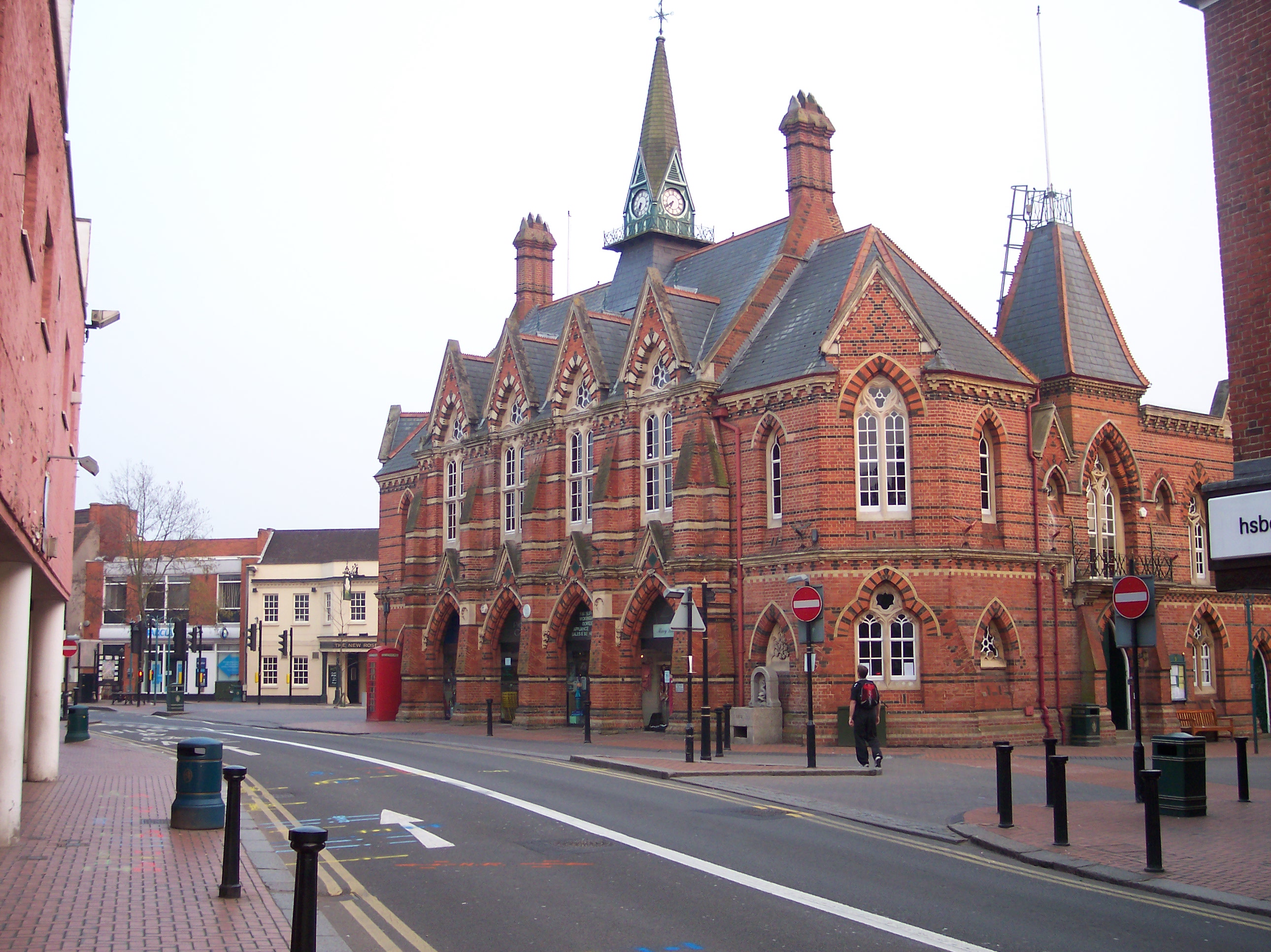
Wokingham Town Hall
Wokingham Town Hall is a municipal building in Wokingham, Berkshire, England. The building is the meeting place of Wokingham Town Council and is a Grade...

Wokingham Rural District
Wokingham Rural District was a rural district in the county of Berkshire, England. It was created in 1894. It was named after and administered from Wokingham...
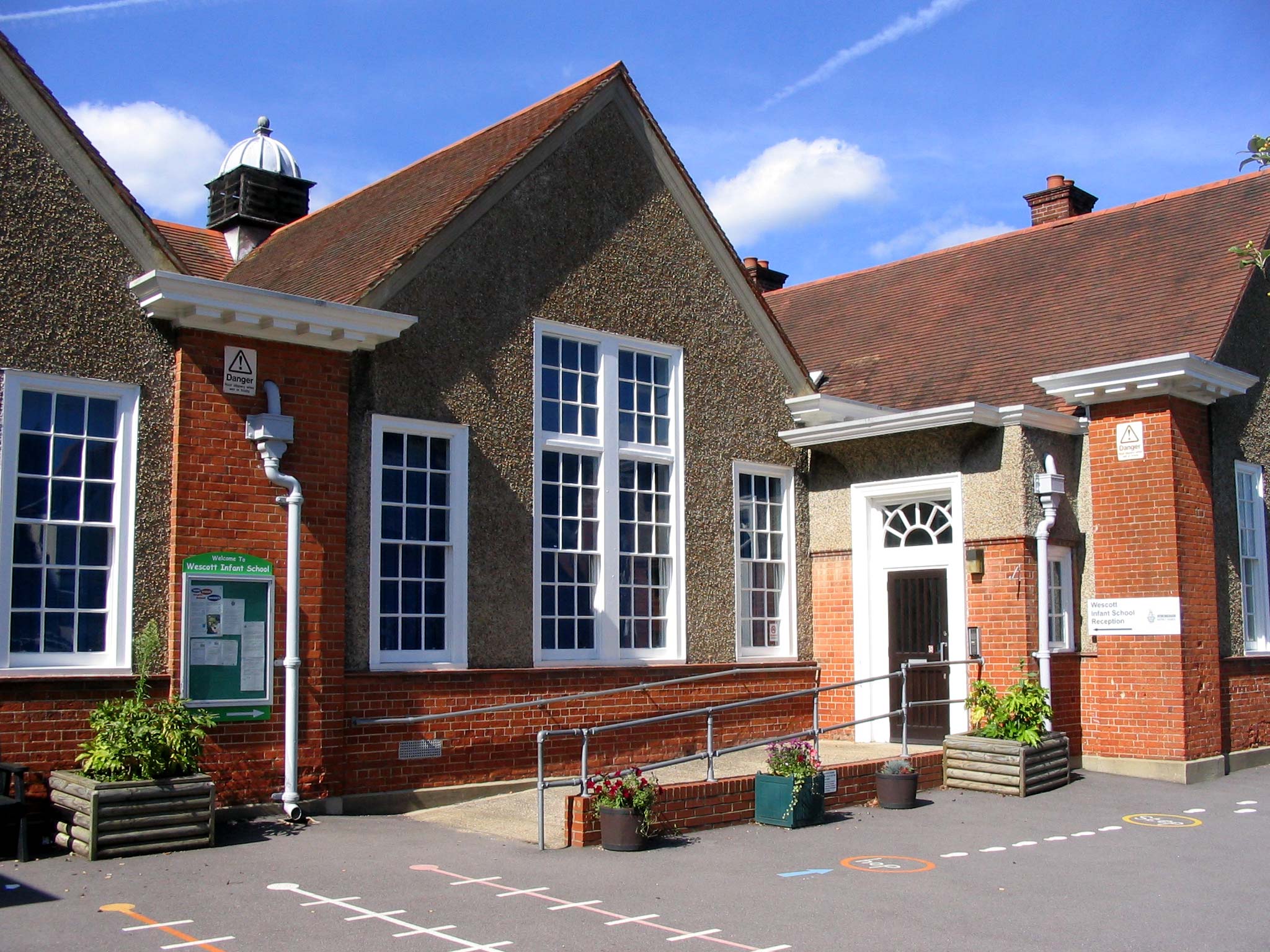
Wescott Infant School
Wescott Infant School is a coeducational infant school located in Wokingham, Berkshire, England. The school caters for children from ages four to seven...
Wokingham
Wokingham is a market town and civil parish in Berkshire, England, 37 miles (60 km) west of London, 7 miles (11 km) southeast of Reading, 8 miles (13...

Wokingham railway station
Wokingham railway station serves the market town of Wokingham in Berkshire, England. It is 62 miles 8 chains (62.10 mi; 99.9 km) down the line from London...

Borough of Wokingham
The Borough of Wokingham is a local government district with borough status in Berkshire, England. It is named after its main town, Wokingham. Other places...
St Crispin's School
St Crispin's School, founded in 1953, is a coeducational comprehensive secondary school and sixth form located in Wokingham, Berkshire, England. There...
The Holt School
The Holt School is a secondary school located on the outskirts of Wokingham, Berkshire, England, on Holt Lane. It is a girls' school and currently teaches...
Related Videos

Grey Skies and Water. Walking Along the Lake’s Edge (Dinton Pastures)
On a chilly, overcast afternoon, I embarked on a leisurely stroll around the waters of Dinton Pastures. The country park, located in ...

Double Tree by Hilton St. Anne’s Manor England. HOTEL WALKING TOUR. Hotel in Wokingham, England.
Walking around hotel, room and breakfast. Free car park. The hotel is good for family and pet friendly. The hotel located downtown ...

Nearby Amenities
Located within 500m of 51.410213,-0.832928Have you been to Wokingham?
Leave your review of Wokingham below (or comments, questions and feedback).