Withington Green
Settlement in Cheshire
England
Withington Green
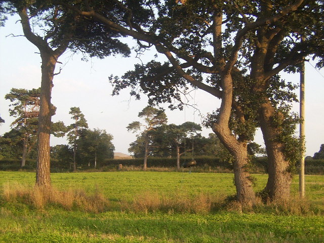
Withington Green is a small village located in Cheshire, England. It is situated approximately 6 miles south of the city of Manchester and falls within the borough of Cheshire East. The village is surrounded by picturesque countryside and offers a peaceful and idyllic setting for its residents.
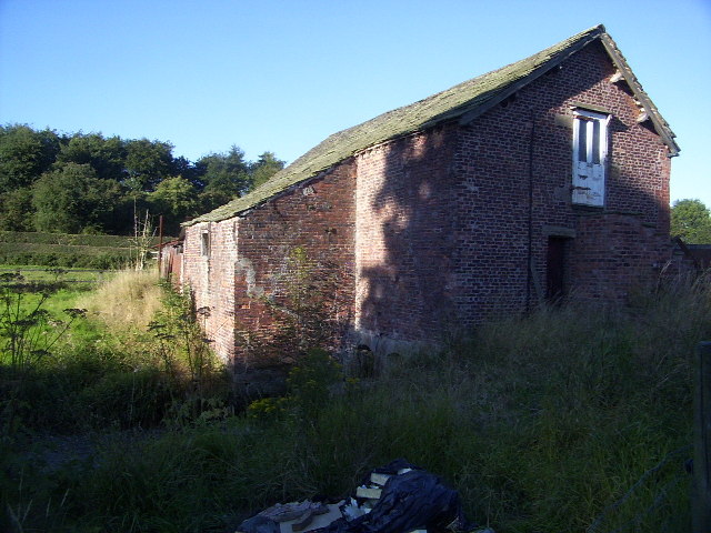
Withington Green is known for its charming, traditional architecture, with many of the houses dating back several centuries. The village is primarily residential, and the properties range from quaint cottages to larger family homes. It has a close-knit community, and the residents take pride in maintaining the village's character and charm.
Despite its rural setting, Withington Green benefits from excellent transport links. The nearby M56 motorway provides easy access to Manchester and other major cities in the region. The village is also well-connected by public transport, with regular bus services running to neighboring towns and villages.
Withington Green offers a range of amenities for its residents. There is a village hall that hosts various community events and activities, including classes and social gatherings. The village also has a local pub, providing a friendly meeting place for residents and visitors alike.
For those who enjoy outdoor activities, Withington Green is surrounded by beautiful countryside, offering opportunities for walking, cycling, and exploring nature. The nearby Peak District National Park is also within easy reach, providing further options for outdoor adventures.
In summary, Withington Green is a charming and peaceful village in Cheshire, boasting beautiful architecture, a close-knit community, and easy access to both urban and rural amenities.
If you have any feedback on the listing, please let us know in the comments section below.
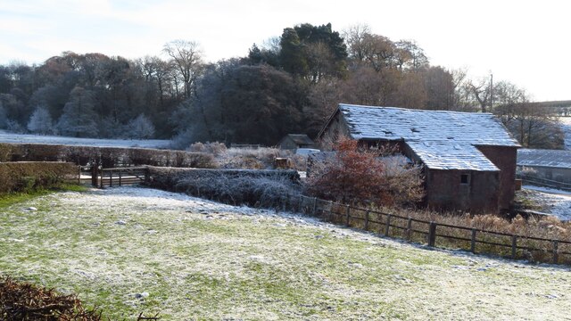
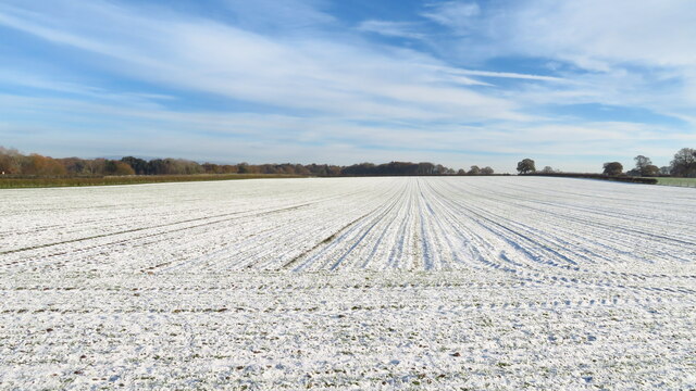
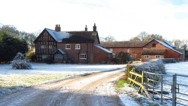
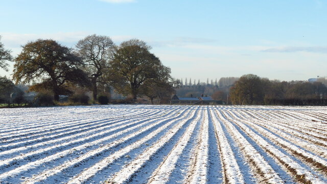
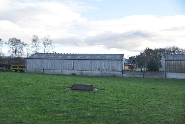
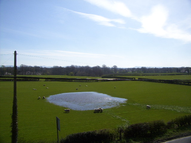
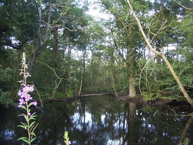
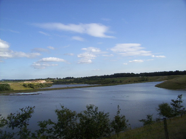
Withington Green Images
Images are sourced within 2km of 53.237986/-2.2946591 or Grid Reference SJ8071. Thanks to Geograph Open Source API. All images are credited.


Withington Green is located at Grid Ref: SJ8071 (Lat: 53.237986, Lng: -2.2946591)
Unitary Authority: Cheshire East
Police Authority: Cheshire
What 3 Words
///lasted.flamingo.speakers. Near Goostrey, Cheshire
Nearby Locations
Related Wikis
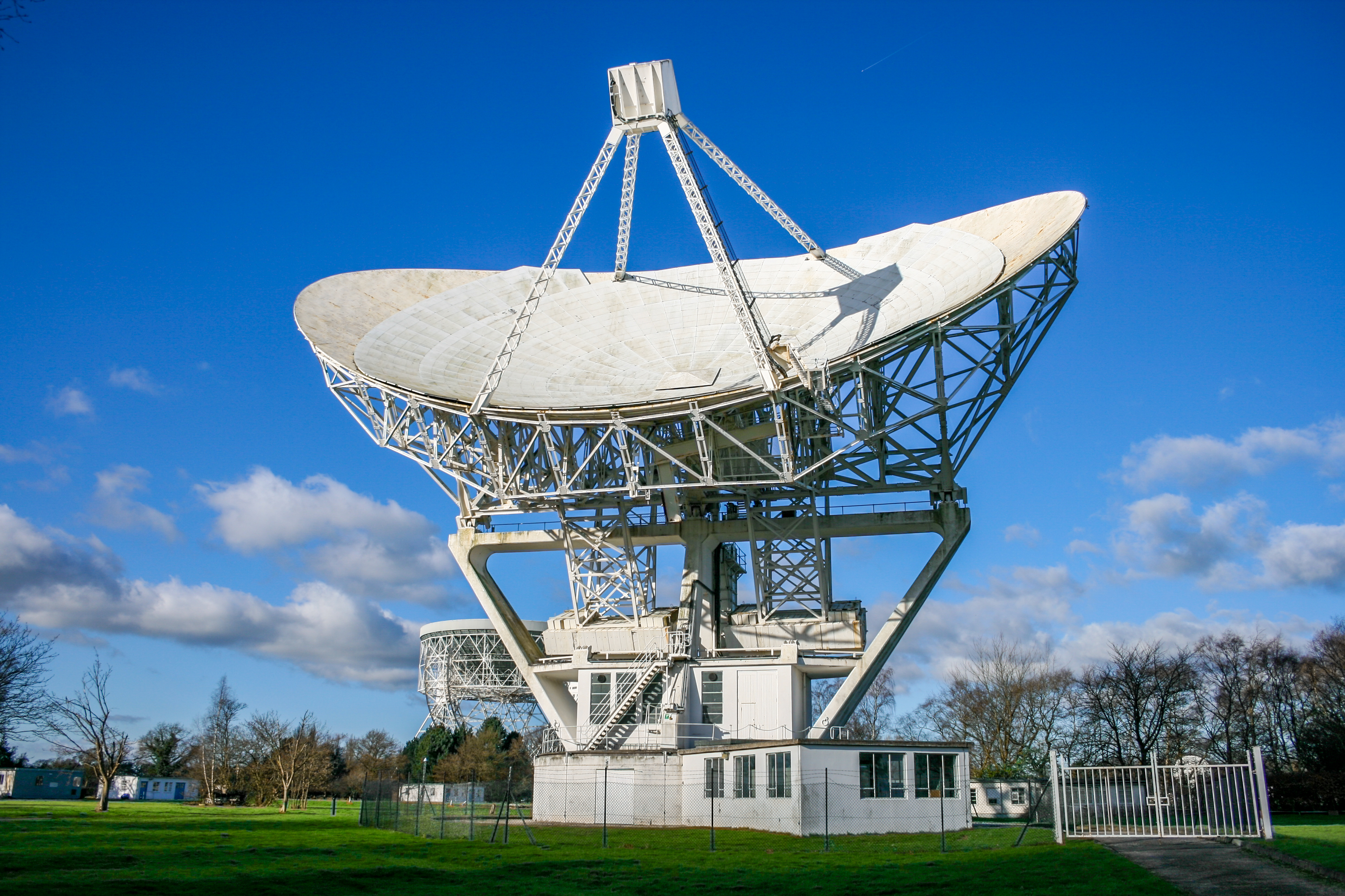
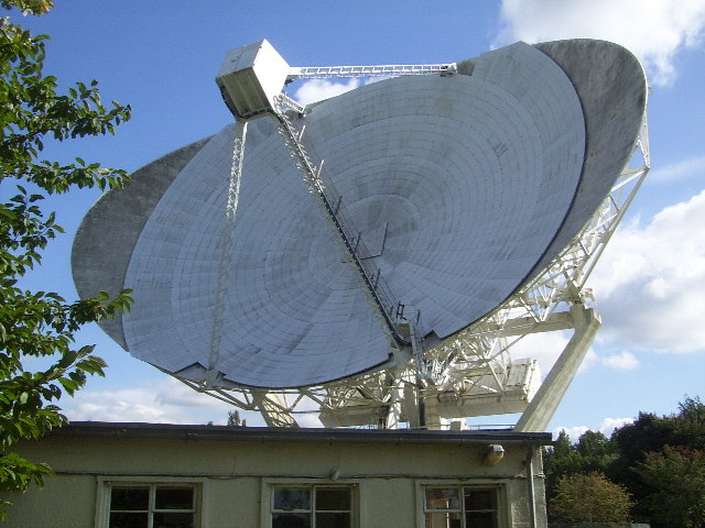
Mark II (radio telescope)
The Mark II is a radio telescope located at Jodrell Bank Observatory, near Goostrey, Cheshire, in the north-west of England. It was built on the site of...

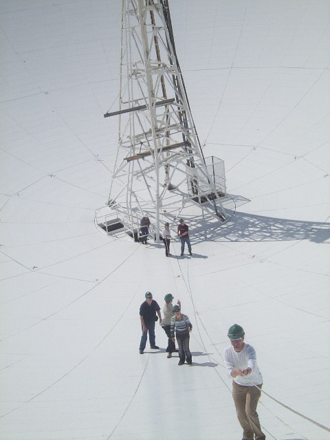
Jodrell Bank Observatory
Jodrell Bank Observatory ( JOD-rəl) in Cheshire, England, hosts a number of radio telescopes as part of the Jodrell Bank Centre for Astrophysics at the...
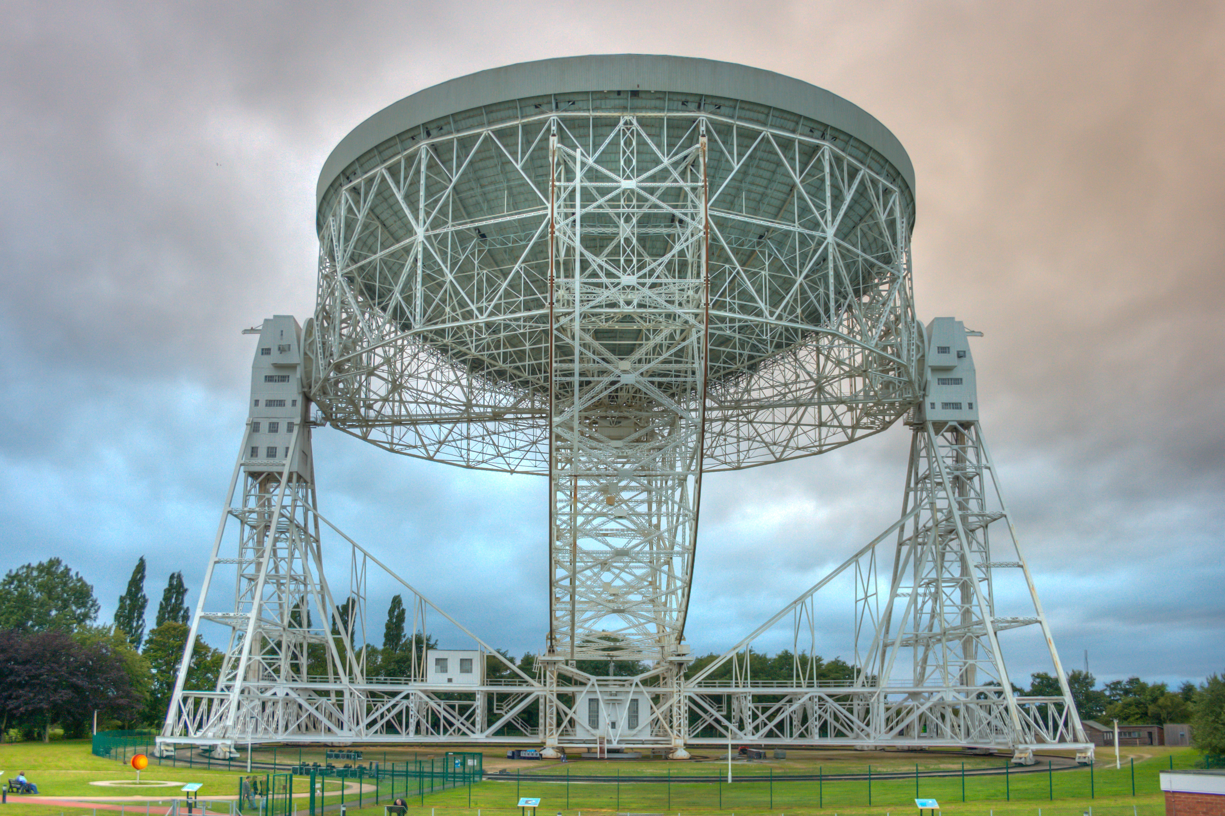
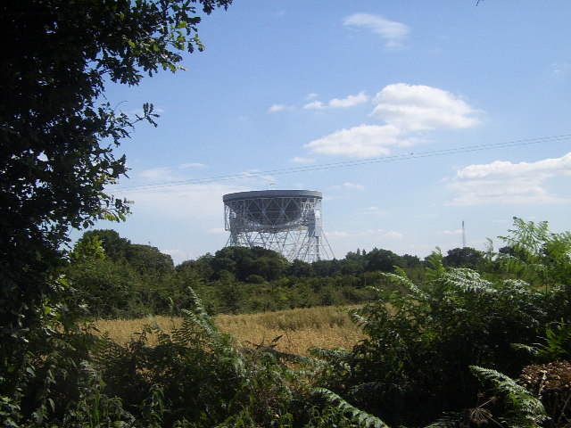
Lovell Telescope
The Lovell Telescope ( LUV-əl) is a radio telescope at Jodrell Bank Observatory, near Goostrey, Cheshire, in the north-west of England. When construction...

Terra Nova School
Terra Nova School is a prep school in Cheshire, England for children from two and a half to thirteen years of age. It began as a school for boys in 1897...
Related Videos

Jodrell Bank Observatory - 4K Drone & Walking Tour 2023
Taking a look round Jodrell Bank and the Lovell Telescope with my DJI Mini 3 Pro Drone in 4K. Walking footage and pictures ...


Bilal and me gone to Goostrey for Coffee
muslimcyclists #pakistani cyclists #cycling.

Jodrell Bank Radio Telescope Tour #jodrellbank #radiotelescope
Hi Everybody welcome to our family Adventures channel MDT Outdoor Adventures for this video Jodrell Bank Discovery Centre ...
Nearby Amenities
Located within 500m of 53.237986,-2.2946591Have you been to Withington Green?
Leave your review of Withington Green below (or comments, questions and feedback).