Wistow
Settlement in Leicestershire Blaby
England
Wistow
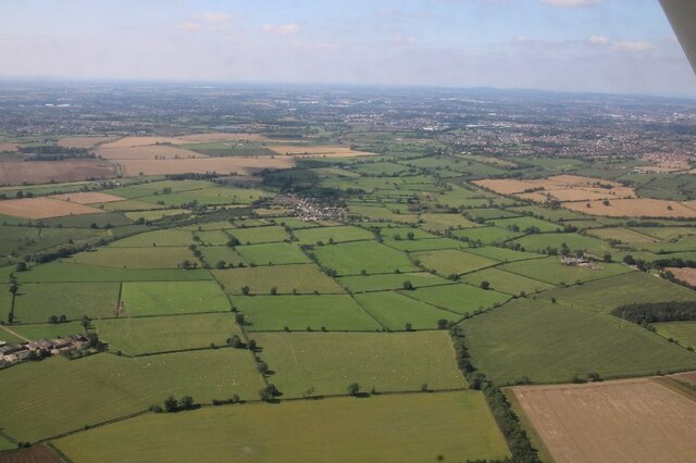
Wistow is a small village located in the county of Leicestershire, in central England. Situated approximately 6 miles southeast of the city of Leicester, it is nestled amidst the scenic countryside of the Harborough district. The village is home to a population of around 500 residents.
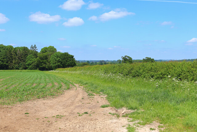
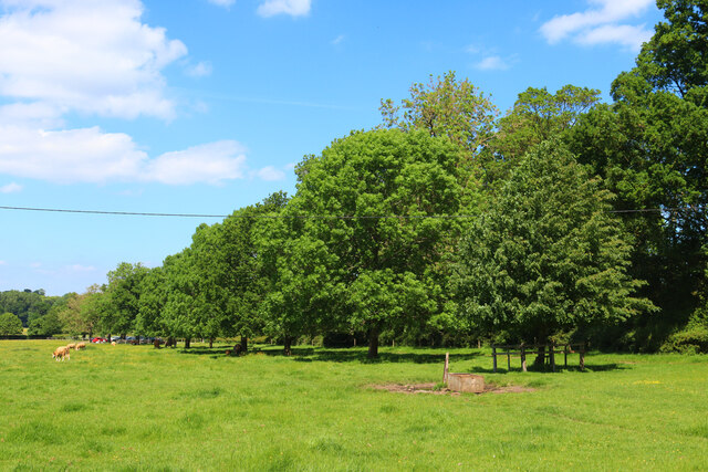
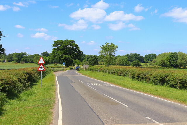
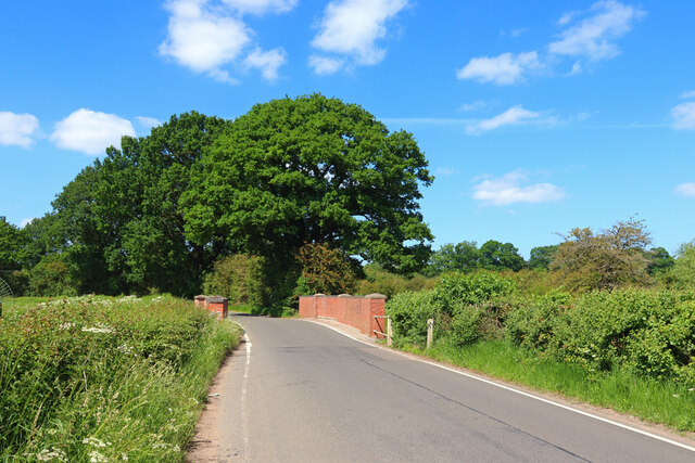
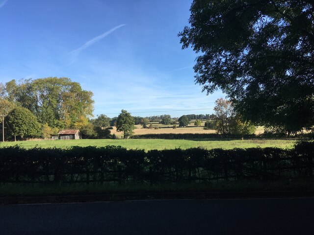
Wistow is known for its charming and picturesque setting, with its traditional stone houses, well-tended gardens, and quaint streets. The village is surrounded by undulating farmland, offering stunning views of the surrounding countryside. It is a popular destination for those seeking a peaceful and idyllic rural retreat.
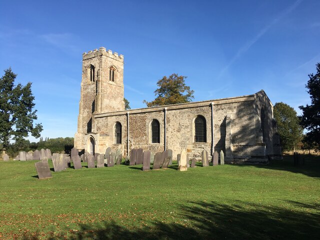
The village boasts a rich history, with evidence of settlement dating back to the Roman era. The historic St. Wistan's Church, which dates back to the 12th century, is a prominent landmark in Wistow. It features a beautiful Norman tower and a collection of medieval stained glass windows.
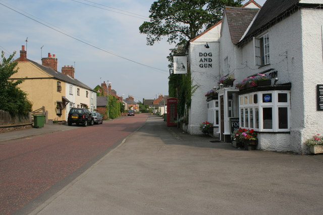
Wistow has a strong sense of community, with a range of amenities and services available to its residents. These include a primary school, a village hall, a post office, and a local pub. The village also hosts various events throughout the year, such as a summer fete and a Christmas market, which further strengthen the community spirit.
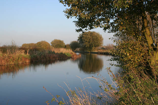
For those who enjoy outdoor activities, Wistow offers plenty of opportunities for walking, cycling, and exploring the surrounding countryside. The nearby Wistow Rural Centre is a popular visitor attraction, featuring a garden center, a model village, and a maze, providing entertainment for both locals and tourists.
In summary, Wistow is a charming and historic village in the heart of Leicestershire, offering a tranquil and picturesque setting for its residents and visitors alike.
If you have any feedback on the listing, please let us know in the comments section below.
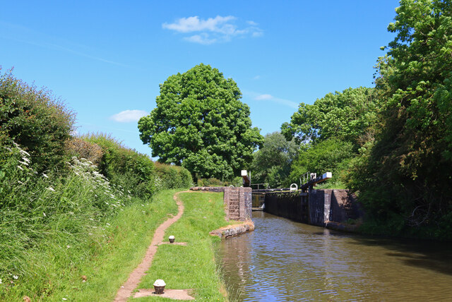
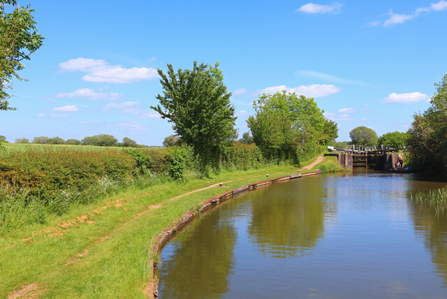
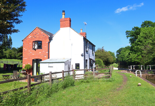
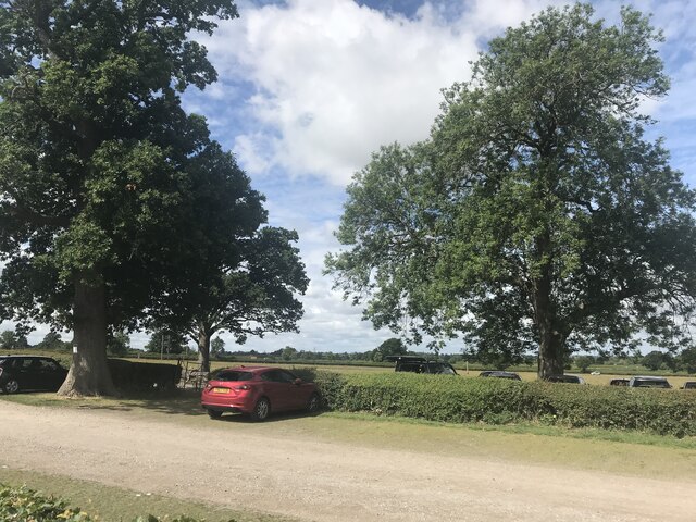
Wistow Images
Images are sourced within 2km of 52.558021/-1.0597086 or Grid Reference SP6395. Thanks to Geograph Open Source API. All images are credited.


Wistow is located at Grid Ref: SP6395 (Lat: 52.558021, Lng: -1.0597086)
Administrative County: Leicestershire
District: Blaby
Police Authority: Leicestershire
What 3 Words
///upon.wobbles.brief. Near Great Glen, Leicestershire
Nearby Locations
Related Wikis

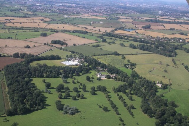
Wistow Hall
Wistow Hall is a 17th-century country house in Wistow, Leicestershire, England which has been converted into an apartment building. It is Grade II* listed...

Foston, Leicestershire
Foston is a deserted medieval village and former civil parish, now in the parish of Kilby, in the Blaby district of Leicestershire and lies approximately...

Wistow, Leicestershire
Wistow is a deserted medieval village and civil parish in the Harborough district, in the English county of Leicestershire, and lies seven miles south...

Newton Harcourt
Newton Harcourt is a village and former civil parish, now in the parish of Wistow, in the Harborough district, in the English county of Leicestershire...

Great Glen railway station
Great Glen railway station was built by the Midland Railway in 1857 on its extension from Leicester to Bedford and Hitchin. == History == Originally simply...
Kilby - Foxton Canal
Kilby - Foxton Canal is a 32.1 hectares (79 acres) biological Site of Special Scientific Interest along the Grand Union Canal and its banks in Leicestershire...
Kilby
Kilby is a village and civil parish in the Blaby district of Leicestershire, England. Kilby is the easternmost village in the district, and is 6.1 miles...

Great Glen, Leicestershire
Great Glen (or Glenn) is a village and civil parish in the Harborough district, in Leicestershire, 2 miles south of Oadby. The population of the civil...
Nearby Amenities
Located within 500m of 52.558021,-1.0597086Have you been to Wistow?
Leave your review of Wistow below (or comments, questions and feedback).