Bransford
Settlement in Worcestershire Malvern Hills
England
Bransford

Bransford is a picturesque village located in the county of Worcestershire, England. Situated on the banks of the River Teme, it is nestled amidst the scenic Malvern Hills, offering residents and visitors breathtaking views of the surrounding countryside. Bransford is a small and close-knit community, known for its tranquility and natural beauty.
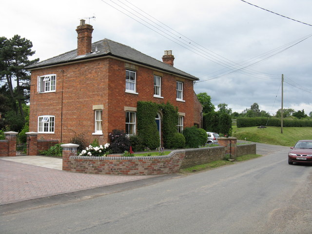
The village is renowned for its historic buildings, with several of them dating back to the 16th century. Bransford Court, a Grade II listed building, stands as a testament to the village's rich heritage. The church of St. John the Baptist, also a notable landmark, showcases impressive architecture and serves as a focal point for religious activities.
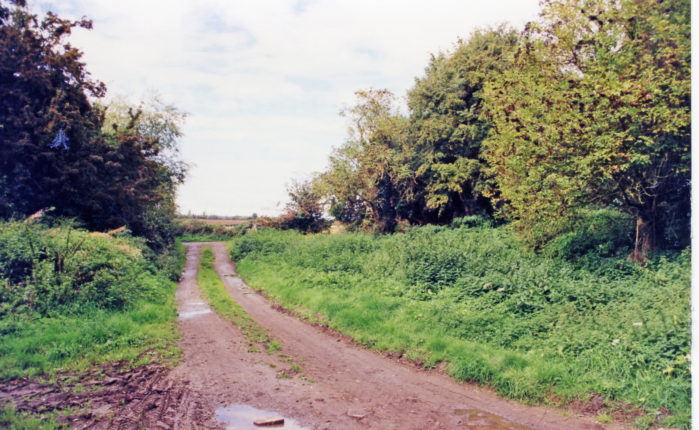
The River Teme runs through the village, providing opportunities for leisure activities such as fishing and boating. The surrounding countryside offers an array of walking trails and nature reserves, attracting outdoor enthusiasts and nature lovers. The nearby Malvern Hills are a popular destination for hikers and climbers, boasting stunning views from the summit.
Despite its small size, Bransford is well-served by amenities. The village boasts a primary school, providing education for the local children, and a village hall that serves as a venue for community events. Additionally, there are a few local businesses, including a pub and a farm shop, where residents can find essential supplies.
Overall, Bransford is a charming and idyllic village, cherished for its picturesque setting, rich history, and sense of community. It offers a peaceful retreat for those seeking a slower pace of life amidst the beauty of the Worcestershire countryside.
If you have any feedback on the listing, please let us know in the comments section below.
Bransford Images
Images are sourced within 2km of 52.171955/-2.29989 or Grid Reference SO7952. Thanks to Geograph Open Source API. All images are credited.


Bransford is located at Grid Ref: SO7952 (Lat: 52.171955, Lng: -2.29989)
Administrative County: Worcestershire
District: Malvern Hills
Police Authority: West Mercia
What 3 Words
///qualified.extremely.massing. Near Lower Broadheath, Worcestershire
Nearby Locations
Related Wikis

Leigh and Bransford
Leigh and Bransford are two separate civil parishes in the district of Malvern Hills of the county of Worcestershire, England, with a single parish council...
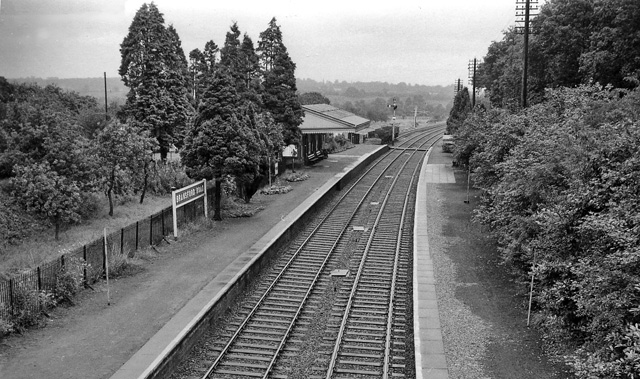
Bransford Road railway station
Bransford Road railway station was a station in Bransford, Worcestershire, England. The station was opened in 1860 and closed on 5 April 1965. The original...

Bransford
Bransford is a village and civil parish in the Malvern Hills district of the county of Worcestershire, England. It is situated close to the River Teme...
Leigh, Worcestershire
Leigh is a village and civil parish (with a parish council shared with Bransford) in the Malvern Hills district of the county of Worcestershire, England...
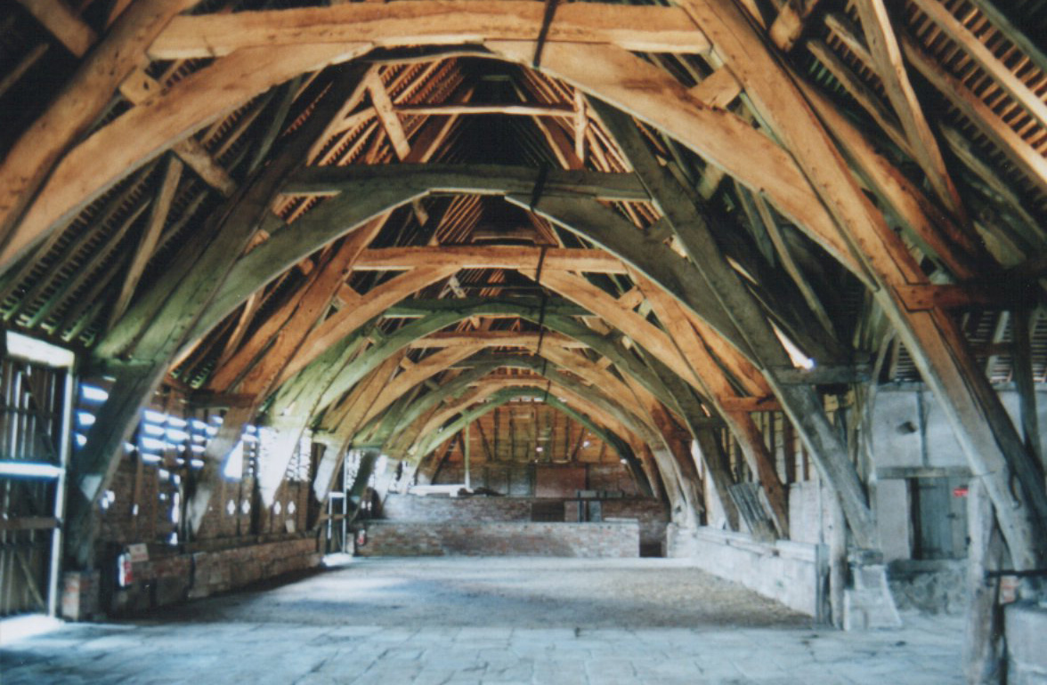
Leigh Court Barn
Leigh Court Barn is a cruck framed barn at Leigh, Worcestershire, England, built in the early fourteenth century to store produce for Pershore Abbey. It...
Leigh Court railway station
Leigh Court railway station was a station in Leigh, Worcestershire, England. The station was opened on 2 May 1874 and closed on 7 September 1964. ��2...

St Leonard's Church, Cotheridge
St. Leonard's Church is a small, 12th-century church located in the scattered village of Cotheridge in Worcestershire. It stands not far from the manor...
Cotheridge Court
Cotheridge Court is a Grade II* listed ancient manor house situated in the south-western part of Cotheridge, in the county of Worcestershire, England,...
Nearby Amenities
Located within 500m of 52.171955,-2.29989Have you been to Bransford?
Leave your review of Bransford below (or comments, questions and feedback).