Winnothdale

Settlement in Staffordshire Staffordshire Moorlands

England

Winnothdale

A country lane With several cars parked the lane is quite wide at this point.
A country lane Credit: Malcolm Neal

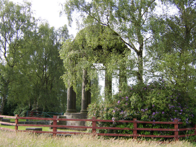
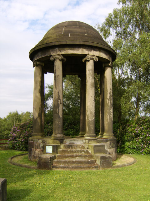
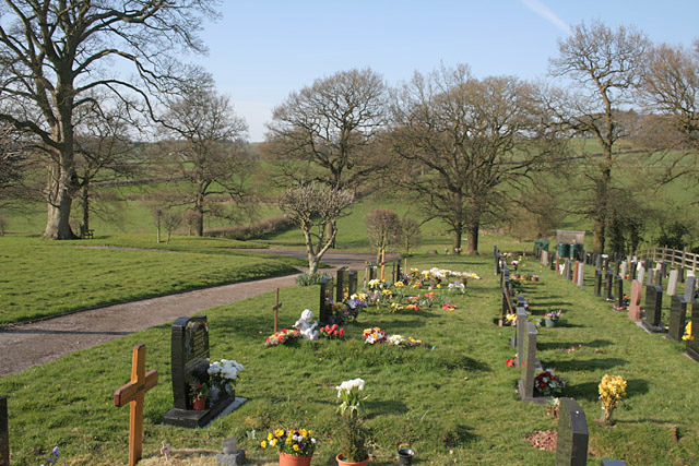
Winnothdale is a small village located in the county of Staffordshire, England. Situated in the picturesque countryside, it is surrounded by rolling hills and lush green fields. The village is known for its tranquility and natural beauty, making it an ideal destination for those seeking a peaceful retreat.

With a population of around 500 residents, Winnothdale maintains a close-knit community atmosphere. The village is characterized by charming cottages, many of which date back to the 17th and 18th centuries, giving it a distinct historical feel. The local architecture is predominantly traditional, with stone and brick buildings adding to the village's rustic charm.

Winnothdale offers a range of amenities to cater to its residents' needs. The village boasts a small but well-stocked grocery store, a post office, and a primary school, providing convenience and accessibility for the local community. Additionally, there are several quaint pubs and cafes where locals and visitors can socialize and enjoy the village's welcoming atmosphere.

Nature enthusiasts will find plenty to explore in Winnothdale. The village is surrounded by picturesque walking trails, offering breathtaking views of the Staffordshire countryside. The nearby Winnothdale Forest is a popular destination for hikers and nature lovers, with its diverse wildlife and scenic landscapes.

Despite its small size, Winnothdale is conveniently located within easy reach of larger towns and cities. The bustling market town of Stafford is only a short drive away, offering a wider range of amenities, shopping opportunities, and transport links.

Overall, Winnothdale is a charming village that combines natural beauty, a strong sense of community, and convenient access to nearby urban areas, making it an ideal place to call home or visit for a peaceful getaway.

If you have any feedback on the listing, please let us know in the comments section below.
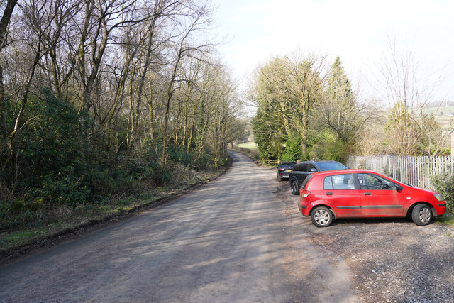
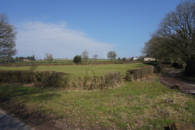
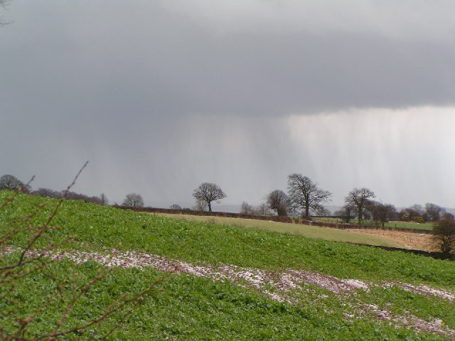
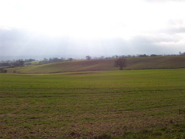
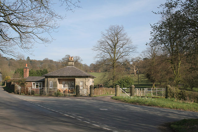
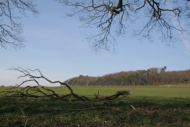
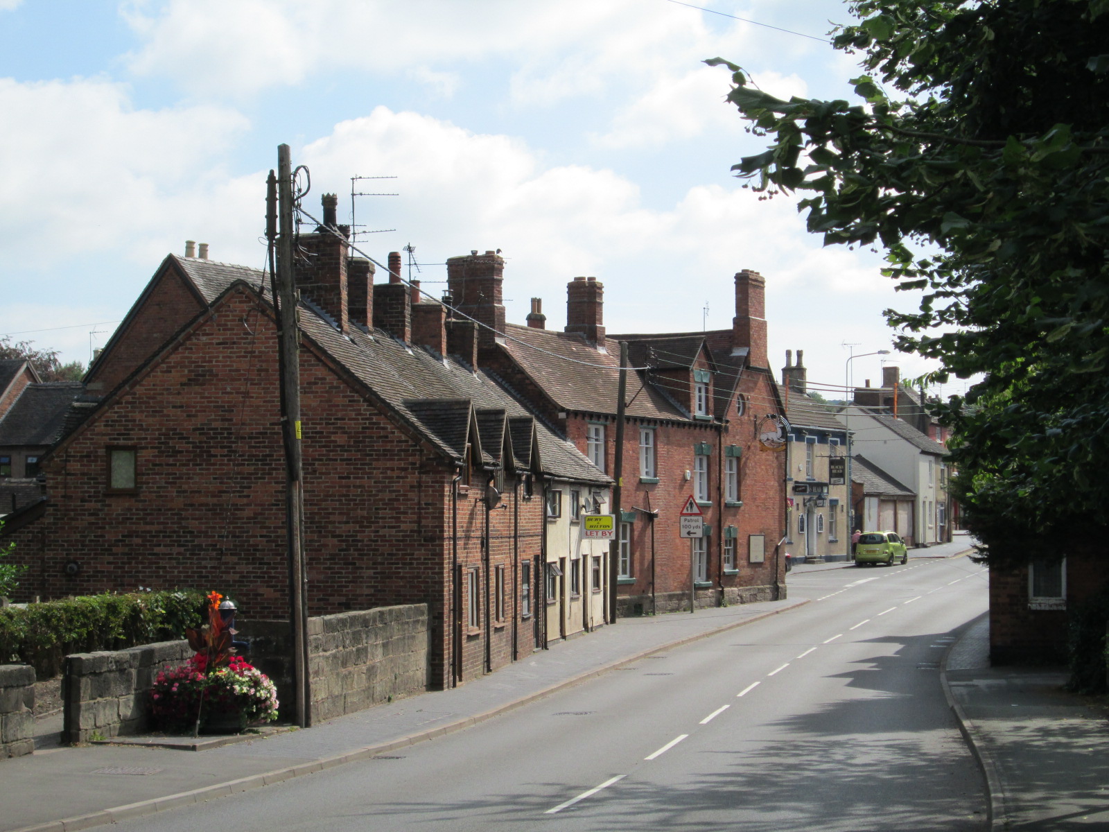
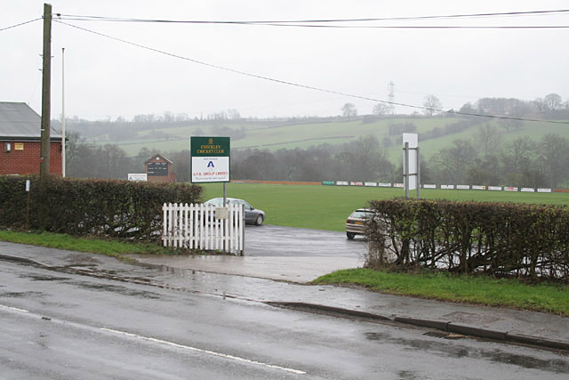
Winnothdale Images

Images are sourced within 2km of 52.96274/-1.958877 or Grid Reference SK0240. Thanks to Geograph Open Source API. All images are credited.

A country lane With several cars parked the lane is quite wide at this point.
A country lane
With several cars parked the lane is quite wide at this point.
Near Winnoth Dale Gently rising land near the dale.
Near Winnoth Dale
Gently rising land near the dale.
Stormy afternoon near Hollington
Sun through the clouds Sun breaks through the cloud onto rolling farmland.  Looking towards Checkley from Hollington-Upper Tean road.
Sun through the clouds
Sun breaks through the cloud onto rolling farmland. Looking towards Checkley from Hollington-Upper Tean road.
Temple near Tean The Temple at Temple Wood Farm near Upper Tean, Staffordshire
Temple near Tean
The Temple at Temple Wood Farm near Upper Tean, Staffordshire
Temple near Tean The Temple at Temple Wood Farm near Upper Tean, Staffordshire
Temple near Tean
The Temple at Temple Wood Farm near Upper Tean, Staffordshire
Temple near Tean Detail of the plaque on the Temple at Temple Wood Farm near Upper Tean, Staffordshire
Temple near Tean
Detail of the plaque on the Temple at Temple Wood Farm near Upper Tean, Staffordshire
Upper Tean Cemetery
Upper Tean Cemetery
The Front Lodge, Heath House, Upper Tean A thoroughly typical entrance to a country mansion.
The Front Lodge, Heath House, Upper Tean
A thoroughly typical entrance to a country mansion.
North Plantation, above Upper Tean
A dry stone wall with gate Looking across the wall into the fields. The wall is fairly unusual as most field boundaries have been hedges.
A dry stone wall with gate
Looking across the wall into the fields. The wall is fairly unusual as most field boundaries have been hedges.
Hollington Road With woods on both sides this is likely wto be quite dark when the trees are in leaf.
Hollington Road
With woods on both sides this is likely wto be quite dark when the trees are in leaf.
Hollington Road On the edge of Upper Tean looking along what was a Roman Road.
Hollington Road
On the edge of Upper Tean looking along what was a Roman Road.
Black's Head Opposite the Tean Hall Mills.
Black's Head
Opposite the Tean Hall Mills.
Lodge for The Heath House on Heath House Lane from Lower Tean Christenings, anniversaries, product launches, conferences, exhibitions and team building days can be held in various locations around the house and estate.   
<span class="nowrap"><a title="http://www.theheathhouse.co.uk/events/" rel="nofollow ugc noopener" href="http://www.theheathhouse.co.uk/events/">Link</a><img style="margin-left:2px;" alt="External link" title="External link - shift click to open in new window" src="https://s1.geograph.org.uk/img/external.png" width="10" height="10"/></span>
Lodge for The Heath House on Heath House Lane from Lower Tean
Christenings, anniversaries, product launches, conferences, exhibitions and team building days can be held in various locations around the house and estate. LinkExternal link
Downhill on the Heath House Lane towards Hollington Road and Lodge for Heath House
Paintball Lower Tean Our popular PAY AS YOU PLAY packages make it easy. You pay your game fee up-front, which also acts as your deposit, and then purchase your paintballs as and when you need them on the day.   <span class="nowrap"><a title="http://www.paintballguide.co.uk/paintball-site/index.asp?id=12113&area=Lower" rel="nofollow ugc noopener" href="http://www.paintballguide.co.uk/paintball-site/index.asp?id=12113&area=Lower">Link</a><img style="margin-left:2px;" alt="External link" title="External link - shift click to open in new window" src="https://s1.geograph.org.uk/img/external.png" width="10" height="10"/></span> Tean
Paintball Lower Tean
Our popular PAY AS YOU PLAY packages make it easy. You pay your game fee up-front, which also acts as your deposit, and then purchase your paintballs as and when you need them on the day. LinkExternal link Tean
Across rolling Farmland with Cannock Chase in extreme distance
Show me another place!

Winnothdale is located at Grid Ref: SK0240 (Lat: 52.96274, Lng: -1.958877)

Administrative County: Staffordshire

District: Staffordshire Moorlands

Police Authority: Staffordshire

What 3 Words

///green.cobble.commoners. Near Cheadle, Staffordshire

Nearby Locations

Gorstyhill Winnothdale

Related Wikis

Freehay

Freehay is a small village located 2 miles from the centre of Cheadle in Staffordshire, England. The village centre is at the main Freehay Bank (or Church...

Tean, Staffordshire

Tean is a large village in Staffordshire, England. It is around 15 miles (24 km) south-east of Stoke-on-Trent. The River Tean runs through the village...

Checkley

Checkley is a village and civil parish in the district of Staffordshire Moorlands in the English county of Staffordshire. == Location == The village is...

Uttoxeter Road

Uttoxeter Road (also known as Four Trees) is a cricket ground located along the Uttoxeter Road between the villages of Lower Tean and Checkley in Staffordshire...

Tean Road Sports Ground

Tean Road Sports Ground is a cricket ground in Cheadle, Staffordshire. The ground is located south of the town centre along the Tean Road, which itself...

St Mary's and All Saints' Church, Checkley

St Mary's and All Saints' Church is an Anglican church in the village of Checkley, Staffordshire, England. It is a Grade I listed building. The oldest...

Moorlands Sixth Form College

The Moorlands Sixth Form College is a Sixth Form College located in Cheadle, a historic market town in Staffordshire, England. The college caters for years...

Painsley Catholic College

Painsley Catholic College is a Roman Catholic secondary school with academy status in Cheadle, Staffordshire, England. The name comes from Painsley Hall...

Nearby Amenities

Located within 500m of 52.96274,-1.958877
Bus Stop
Crossroads
Bus: yes
Naptan AtcoCode: 3800C814400
Naptan Bearing: SE
Naptan CommonName: Crossroads
Naptan Indicator: Adj
Naptan Landmark: Crossroads
Naptan Street: Rakeway Rd (SE)
Naptan Verified: no
Public Transport: platform
Source: naptan_import
Lat/Long: 52.9610213/-1.9584344
Bus Stop
Winothdale
Bus: yes
Naptan AtcoCode: 3800C814401
Naptan Bearing: NW
Naptan CommonName: Winothdale
Naptan Indicator: Adj
Naptan Landmark: Crossroads
Naptan Street: Rakeway Rd (NW)
Naptan Verified: no
Public Transport: platform
Source: naptan_import
Lat/Long: 52.9608865/-1.9584494
Post Box
Brand: Royal Mail
Brand Wikidata: Q638098
Operator: Royal Mail
Operator Wikidata: Q638098
Post Box Type: lamp
Ref: ST10 425
Royal Cypher: EIIR
Royal Cypher Wikidata: Q33102113
Lat/Long: 52.9605987/-1.9575647
Claythorpe Watermill
Man Made: watermill
Lat/Long: 52.966807/-1.9614597
Defibrillator
Access: yes
Defibrillator Location: On wall of Methodist Centre
Emergency: defibrillator
Level: 0
Opening Hours: 24/7
Operator: 999
Lat/Long: 52.9667828/-1.9615353
The data included in this document is from www.openstreetmap.org. The data is made available under ODbL.

Have you been to Winnothdale?

Leave your review of Winnothdale below (or comments, questions and feedback).