Wilnecote
Settlement in Warwickshire Tamworth
England
Wilnecote
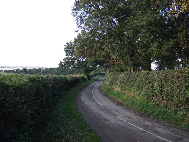
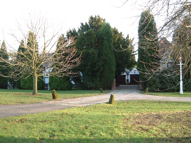
Wilnecote is a small village located in Warwickshire, England. It is situated approximately 2 miles north of Tamworth and has a population of around 8,000 residents. The village is known for its picturesque countryside surroundings, with rolling hills and green fields.
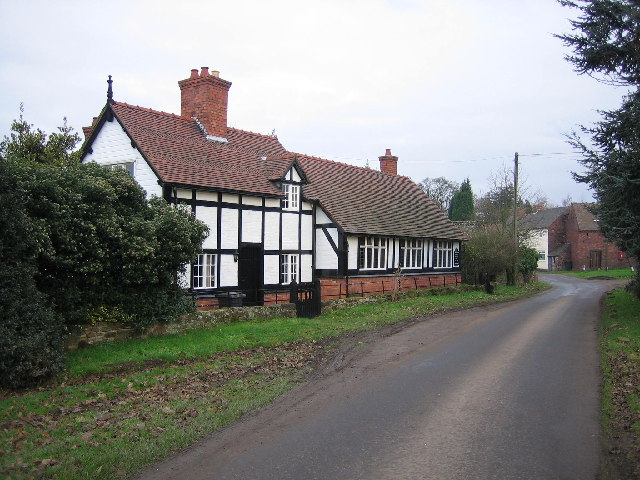
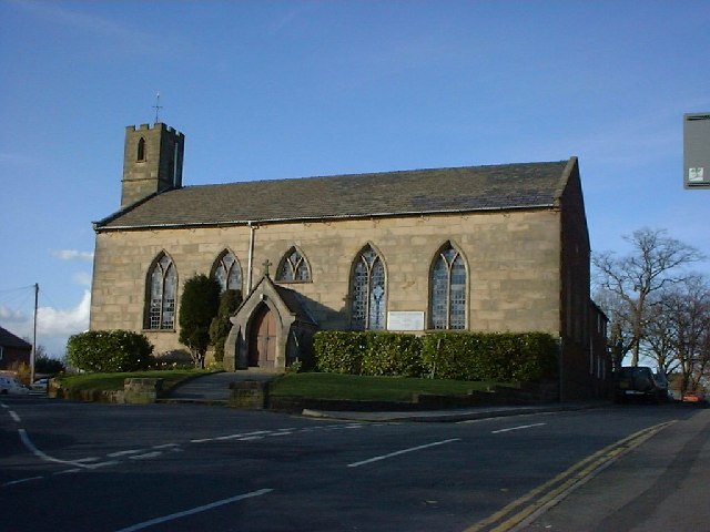
Wilnecote has a rich history, with evidence of settlement dating back to Roman times. The village has a number of historic buildings, including the Grade II listed St. Leonard's Church, which dates back to the 12th century.
In terms of amenities, Wilnecote has a range of local shops, pubs, and restaurants, providing residents with everything they need for day-to-day living. The village also has a primary school, community center, and sports facilities, making it a popular choice for families.
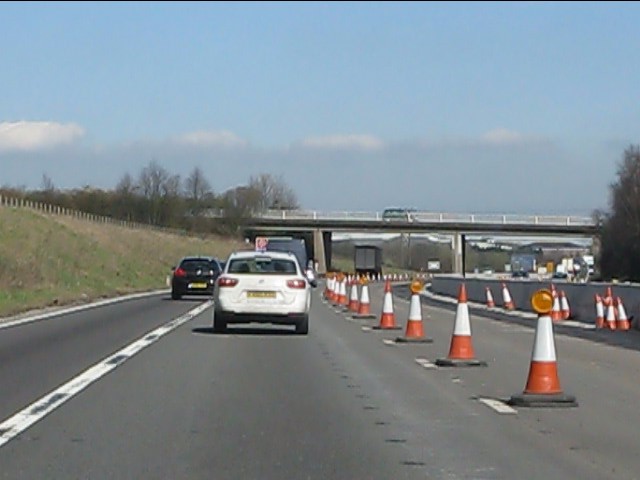
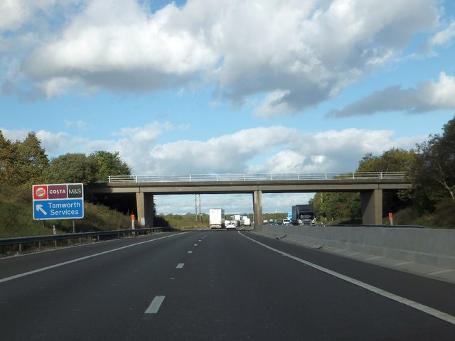
Transport links in Wilnecote are good, with easy access to the nearby town of Tamworth and the M42 motorway. There are also regular bus services running through the village, connecting residents to surrounding areas.
Overall, Wilnecote is a charming village with a strong sense of community and plenty of amenities for its residents to enjoy.
If you have any feedback on the listing, please let us know in the comments section below.
Wilnecote Images
Images are sourced within 2km of 52.608446/-1.667257 or Grid Reference SK2201. Thanks to Geograph Open Source API. All images are credited.


Wilnecote is located at Grid Ref: SK2201 (Lat: 52.608446, Lng: -1.667257)
Administrative County: Staffordshire
District: Tamworth
Police Authority: Staffordshire
What 3 Words
///spicy.gossip.club. Near Fazeley, Staffordshire
Nearby Locations
Related Wikis
Wilnecote
Wilnecote (pronounced Wilncutt) is a suburban area about two miles (3.2 km) south-east of Tamworth, in the Tamworth district, in the county of Staffordshire...

The Wilnecote School
The Wilnecote School (formerly Wilnecote High School) is a co-educational secondary school located in Wilnecote (near Tamworth) in the English county of...
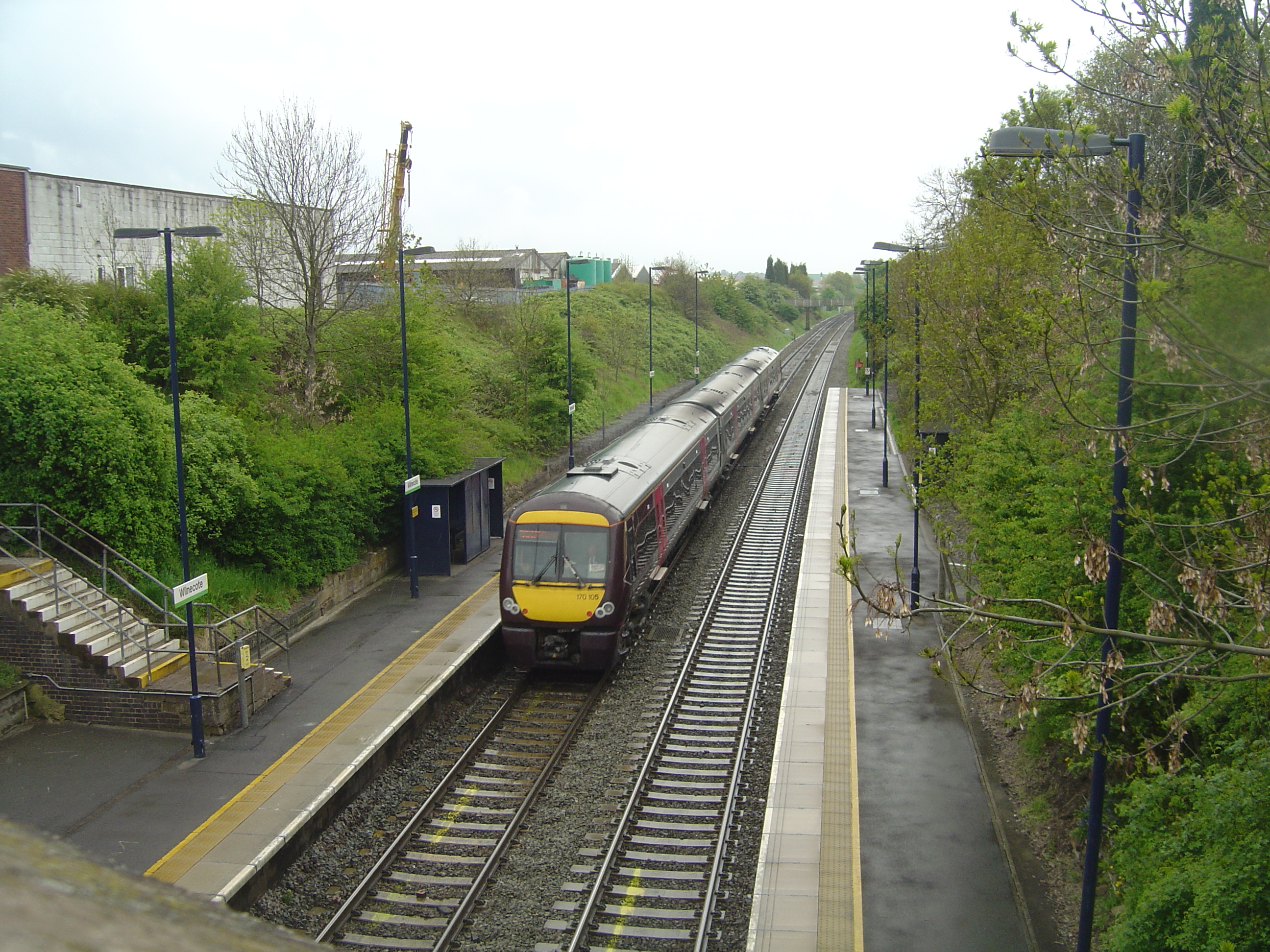
Wilnecote railway station
Wilnecote railway station is a small unmanned station serving the suburban area of Wilnecote 1.5 miles (2 km) south of Tamworth town centre in Staffordshire...
Tamworth Enterprise College
Tamworth Enterprise College (formerly Belgrave High School) is a coeducational secondary school with academy status in Tamworth, Staffordshire, England...
Nearby Amenities
Located within 500m of 52.608446,-1.667257Have you been to Wilnecote?
Leave your review of Wilnecote below (or comments, questions and feedback).