Chwilgrug

Settlement in Monmouthshire

Wales

Chwilgrug

Magor Services Off M4 junction 23a
Magor Services Credit: John Thorn

Chwilgrug is a small village located in Monmouthshire, Wales. Situated in the southeastern part of the county, it lies approximately 3 miles northwest of the town of Abergavenny. The village is surrounded by scenic landscapes, with rolling hills and lush green fields dominating the area.

With a population of around 200 residents, Chwilgrug maintains a close-knit community atmosphere. The village is primarily residential, characterized by a cluster of homes and a few local amenities. The architecture in Chwilgrug is a mix of traditional Welsh-style houses and more modern buildings.

One of the notable features of the village is its proximity to the Brecon Beacons National Park, a popular destination for outdoor enthusiasts. The park offers a range of activities, including hiking, cycling, and horseback riding, allowing residents and visitors to enjoy the stunning natural beauty of the area.

Chwilgrug is also well-connected to surrounding areas, with good road links providing easy access to Abergavenny and other nearby towns. This allows residents to benefit from the amenities and services available in larger towns while still enjoying the tranquility of village life.

Overall, Chwilgrug is a charming village in Monmouthshire, offering a peaceful and picturesque setting for residents and visitors alike. With its beautiful surroundings and close proximity to the Brecon Beacons National Park, it is an ideal location for those seeking a rural retreat while still being within reach of urban conveniences.

If you have any feedback on the listing, please let us know in the comments section below.

Chwilgrug Images

Images are sourced within 2km of 51.587871/-2.85477 or Grid Reference ST4088. Thanks to Geograph Open Source API. All images are credited.

Magor Services Off M4 junction 23a
Magor Services
Off M4 junction 23a
St. Mary's Church, Magor
Magor The town Centre
Magor
The town Centre
Looking North from the B4245 A lorry can be seen at the left edge of the picture, travelling East on the M4, the motorway itself hidden in a shallow cutting.
Looking North from the B4245
A lorry can be seen at the left edge of the picture, travelling East on the M4, the motorway itself hidden in a shallow cutting.
Wilcrick Wishing Well. The well can be found on the village green at Wilcrick, which is just off the B4245.
Wilcrick Wishing Well.
The well can be found on the village green at Wilcrick, which is just off the B4245.
View towards Penhow Castle Landscape immediately north of the Gwent levels at Magor is characterised by shallow valleys cut into low hills of Carboniferous limestone and limestone shales. Steeper slopes and hill tops are often wooded. The winter cereal crop is beginning to show.
View towards Penhow Castle
Landscape immediately north of the Gwent levels at Magor is characterised by shallow valleys cut into low hills of Carboniferous limestone and limestone shales. Steeper slopes and hill tops are often wooded. The winter cereal crop is beginning to show.
After the Rain A rather muddy scene looking out over the flat farmland close to the River Severn estuary.
After the Rain
A rather muddy scene looking out over the flat farmland close to the River Severn estuary.
Steam Special 5051 "Earl Bathurst" joins the mainline from Cardiff to Paddington with a steam special that started in Swansea.
Steam Special
5051 "Earl Bathurst" joins the mainline from Cardiff to Paddington with a steam special that started in Swansea.
Wilcrick Hill Wilcrick hill is the site of an ancient Hill Fort
Wilcrick Hill
Wilcrick hill is the site of an ancient Hill Fort
Old garage or farm building, with track junction
Country road junction The "main" road does a right-angle bend here - but it's still basically single track.
Country road junction
The "main" road does a right-angle bend here - but it's still basically single track.
Bend in the road - and the stream. This little-used road from Bishton to Wilcrick was filled with wildlife, most notably what I believe to have been an adder - the first time in 50 years on this planet that I have seen a wild snake in Britain.
Bend in the road - and the stream.
This little-used road from Bishton to Wilcrick was filled with wildlife, most notably what I believe to have been an adder - the first time in 50 years on this planet that I have seen a wild snake in Britain.
Bend in the road to Wilcrick This is a particularly beautiful, peaceful open space, unusual in the lack of hedges or trees at the road margins.
Bend in the road to Wilcrick
This is a particularly beautiful, peaceful open space, unusual in the lack of hedges or trees at the road margins.
Reen and field One on the reens NW of the Rush Wall. The Tesco distribution centre can just be seen in the distance.
Reen and field
One on the reens NW of the Rush Wall. The Tesco distribution centre can just be seen in the distance.
A Short Steel Train Heads East 60037 heads steel for Bristol along the South Wales main line near Magor.
A Short Steel Train Heads East
60037 heads steel for Bristol along the South Wales main line near Magor.
The London-South Wales main railway line near Magor View looks eastwards from the road bridge over the railway line at Llandevenny.
The London-South Wales main railway line near Magor
View looks eastwards from the road bridge over the railway line at Llandevenny.
Paddington bound! View looks westwards towards Newport (Gwent). In this shot a diesel High Speed Train thunders under the Llandevenny road bridge near Magor. The side line on the right goes to the Llanwern steelworks.
Paddington bound!
View looks westwards towards Newport (Gwent). In this shot a diesel High Speed Train thunders under the Llandevenny road bridge near Magor. The side line on the right goes to the Llanwern steelworks.
Show me another place!

Chwilgrug is located at Grid Ref: ST4088 (Lat: 51.587871, Lng: -2.85477)

Unitary Authority: Newport

Police Authority: Gwent

Also known as: Wilcrick

What 3 Words

///gums.obey.baseless. Near Bishton, Newport

Nearby Locations

Chwilgrug Wilcrick

Related Wikis

Wilcrick

Wilcrick (Welsh: Chwilgrug) is a hamlet within the administrative boundary of the city of Newport, South Wales, just to the west of Magor and approximately...
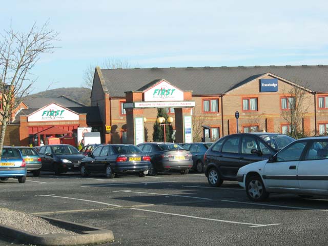
Magor services

Magor services (in Welsh: Gwasanaethau Magwyr) is a motorway service station on the M4, located just off junction 23A, at Magor near Newport, in Monmouthshire...
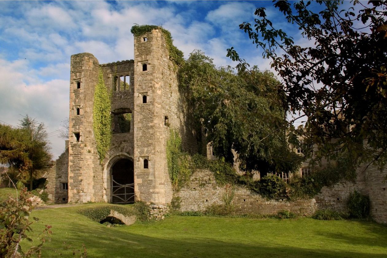
Pencoed Castle

Pencoed Castle is a ruined Tudor mansion, largely dating from the 16th century, in the parish of Llanmartin, now within the city of Newport, south Wales...
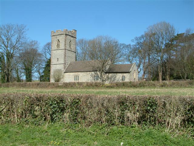
Bishton

Bishton or Bishopston (Welsh: Llangadwaladr Trefesgob or simply Trefesgob) is a small rural community in the east of the city of Newport, South Wales....

Nearby Amenities

Located within 500m of 51.587871,-2.85477
Wilcrick Hill
Ele: 69
Name Cy: Bryn Chwilgrug
Natural: peak
Source: NPE
Wikidata: Q106711658
Lat/Long: 51.5860636/-2.8513553
Wilcrick
Name Cy: Chwilgrug
Place: hamlet
Wikidata: Q8000336
Lat/Long: 51.5884893/-2.8538394
Ele: 50
Natural: peak
Lat/Long: 51.5855934/-2.8551679
Bus Stop
Lat/Long: 51.5877607/-2.8478327
The data included in this document is from www.openstreetmap.org. The data is made available under ODbL.

Have you been to Chwilgrug?

Leave your review of Chwilgrug below (or comments, questions and feedback).