Wigginstall
Settlement in Staffordshire Staffordshire Moorlands
England
Wigginstall
Wigginstall is a small village located in the county of Staffordshire, England. Situated approximately 5 miles northeast of the town of Stafford, Wigginstall is nestled amidst the picturesque Staffordshire countryside, boasting stunning views and a tranquil atmosphere.
The village is home to a tight-knit community of approximately 300 residents. Its rural setting offers a peaceful and idyllic lifestyle, attracting those seeking a close-knit community and a slower pace of life. The village is characterized by a mix of traditional stone cottages and more modern housing developments, giving it a charming and diverse architectural landscape.
Wigginstall benefits from its close proximity to the larger town of Stafford, which provides convenient access to a range of amenities and services. Residents have access to schools, healthcare facilities, shopping centers, and recreational opportunities within a short drive. The village itself offers limited amenities, including a local pub and a small convenience store, catering to the basic needs of its residents.
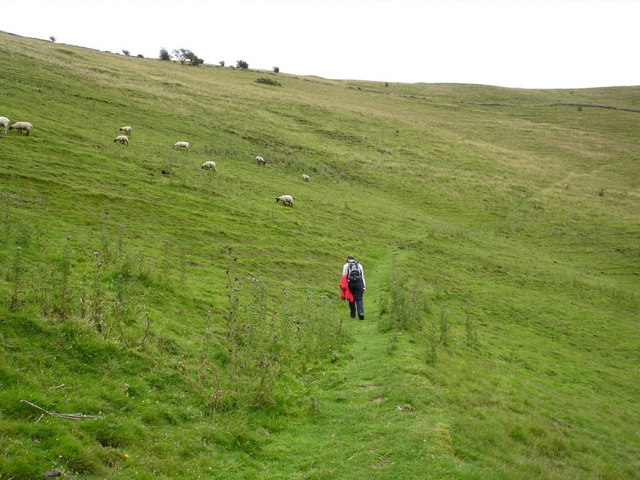
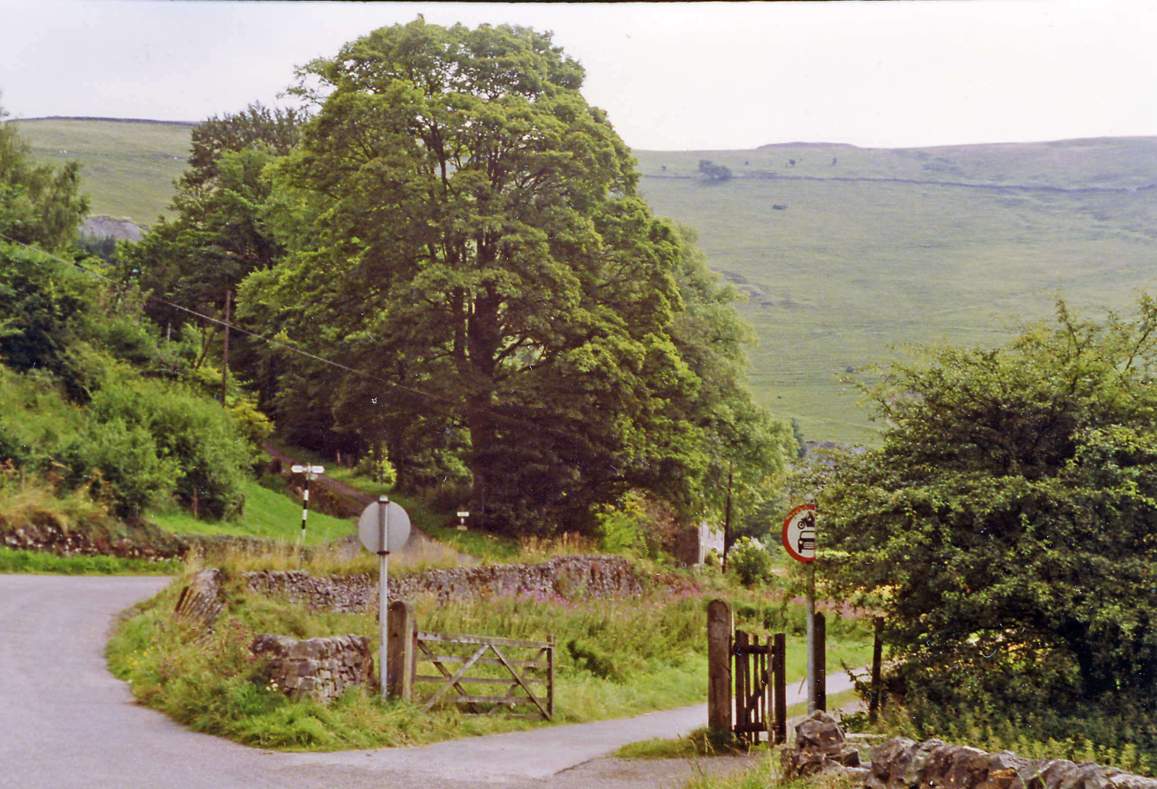
The surrounding countryside offers ample opportunities for outdoor activities and exploration. The nearby Staffordshire Moorlands provide a stunning backdrop for walking, hiking, and cycling enthusiasts, while the Cannock Chase Area of Outstanding Natural Beauty is within easy reach, offering opportunities for wildlife spotting and nature walks.
Wigginstall enjoys good transport links, with the M6 motorway passing nearby, providing convenient access to nearby cities such as Birmingham and Stoke-on-Trent. The village is also served by a regular bus service, connecting it to neighboring towns and villages.
In summary, Wigginstall is a charming village in Staffordshire, offering a peaceful rural lifestyle, beautiful countryside, and convenient access to nearby amenities and transport links.
If you have any feedback on the listing, please let us know in the comments section below.
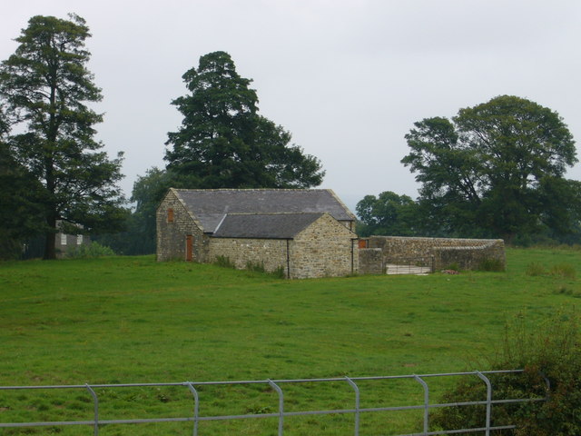
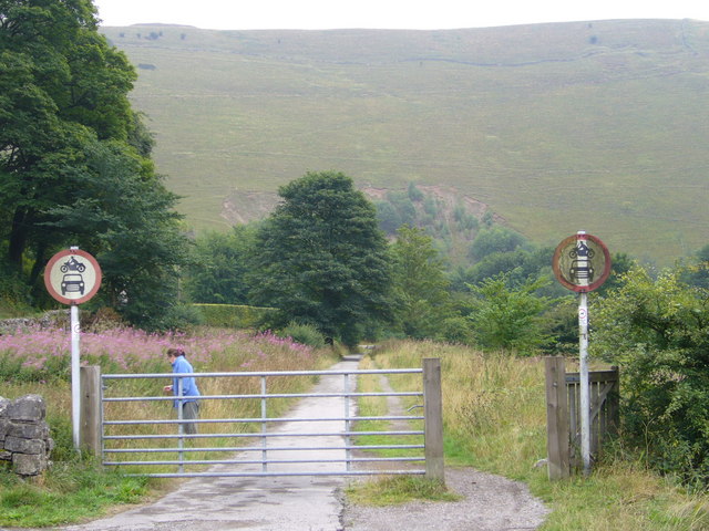
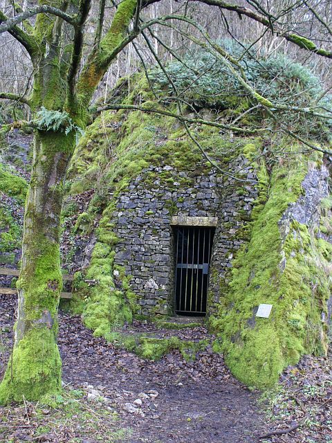
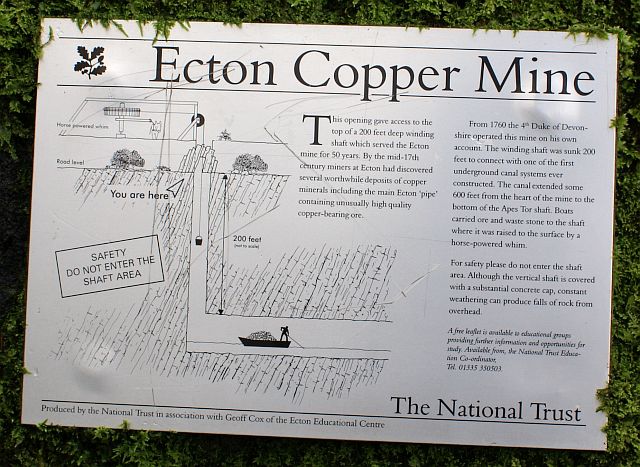
Wigginstall Images
Images are sourced within 2km of 53.13708/-1.8669243 or Grid Reference SK0960. Thanks to Geograph Open Source API. All images are credited.


Wigginstall is located at Grid Ref: SK0960 (Lat: 53.13708, Lng: -1.8669243)
Administrative County: Staffordshire
District: Staffordshire Moorlands
Police Authority: Staffordshire
What 3 Words
///inquest.assorted.propelled. Near Newhaven, Derbyshire
Nearby Locations
Related Wikis

Warslow
Warslow is a small village in Staffordshire, England. It is located in the Peak District National Park about 10 miles (16 km) north of Ashbourne. Although...
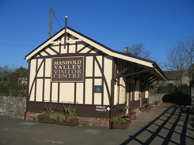
Hulme End railway station
Hulme End railway station is a disused railway station in Staffordshire, England. The station was the terminus of the 2 ft 6 in (762 mm) Leek and Manifold...

Hulme End
Hulme End () is a small hamlet in Staffordshire, England, in the Peak District National Park 10 miles north of Ashbourne, Derbyshire. A natural gateway...
Ecton railway station
Ecton railway station was a station on the Leek and Manifold Light Railway. It served the hamlet of Ecton, Staffordshire. Today, the site is now part of...
Nearby Amenities
Located within 500m of 53.13708,-1.8669243Have you been to Wigginstall?
Leave your review of Wigginstall below (or comments, questions and feedback).