Bran End
Settlement in Essex Uttlesford
England
Bran End
Bran End is a small village located in the county of Essex, in the eastern part of England. It is situated approximately 25 miles northeast of London and lies within the district of Uttlesford. With a population of just over 300 residents, it is a quaint and close-knit community.
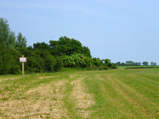
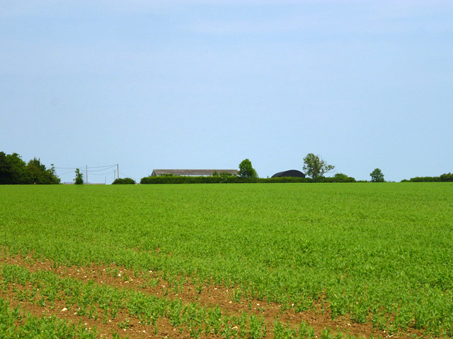
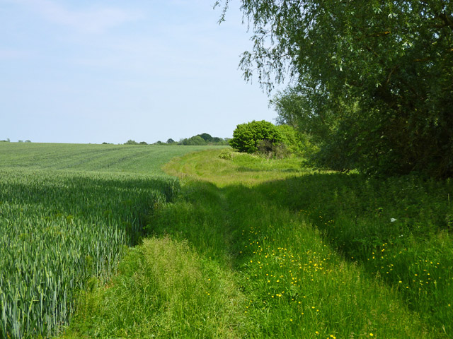
The village of Bran End is known for its picturesque countryside, with rolling hills and lush green fields surrounding the area. It offers a peaceful and tranquil atmosphere, making it an ideal place for those seeking a quiet and rural lifestyle away from the hustle and bustle of city living.
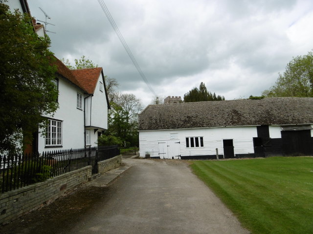
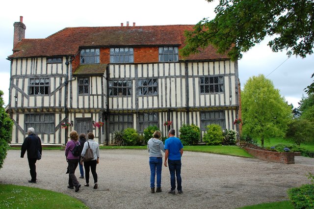
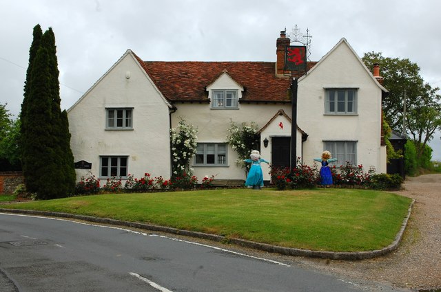
Historically, Bran End has been linked to agriculture, and farming continues to be an important part of the local economy. The village is dotted with charming farmhouses and barns, adding to its rustic charm. There are also several small businesses in the area, including a village shop and a cozy pub, providing essential amenities for the residents.
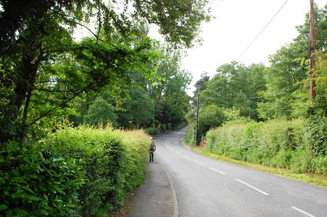
Bran End is well-connected to neighboring towns and cities, with good transport links via road and rail. The nearby towns of Great Dunmow and Bishop's Stortford offer a wider range of amenities, including schools, supermarkets, and leisure facilities.
Overall, Bran End is a hidden gem in the Essex countryside, offering a peaceful and idyllic lifestyle for its residents, surrounded by natural beauty and a strong sense of community.
If you have any feedback on the listing, please let us know in the comments section below.
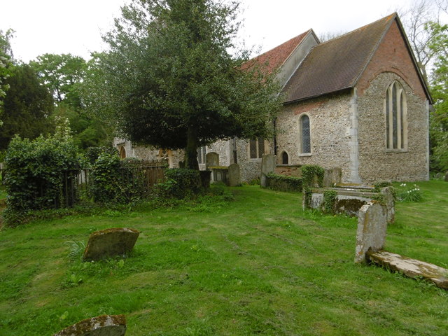
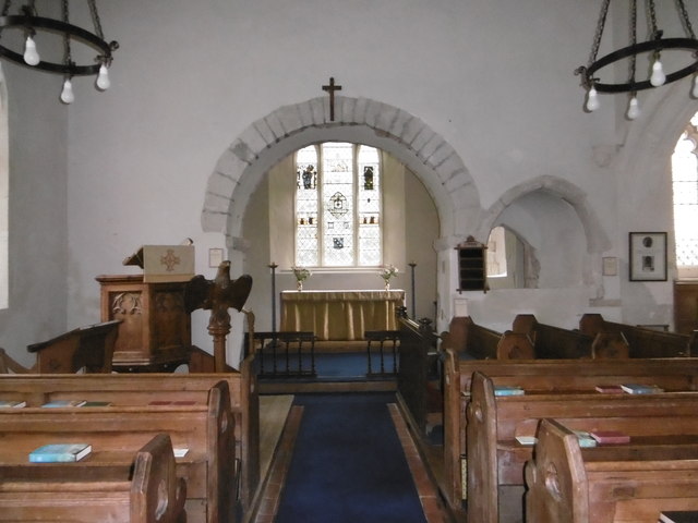
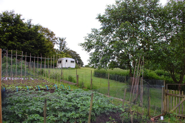
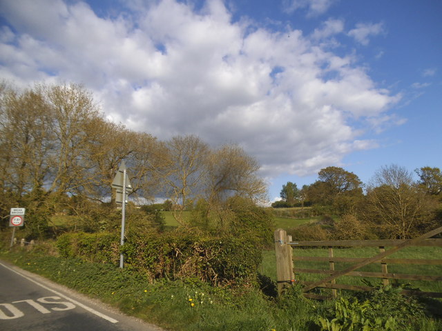
Bran End Images
Images are sourced within 2km of 51.903009/0.402109 or Grid Reference TL6525. Thanks to Geograph Open Source API. All images are credited.


Bran End is located at Grid Ref: TL6525 (Lat: 51.903009, Lng: 0.402109)
Administrative County: Essex
District: Uttlesford
Police Authority: Essex
What 3 Words
///code.flexibly.breathing. Near Great Dunmow, Essex
Nearby Locations
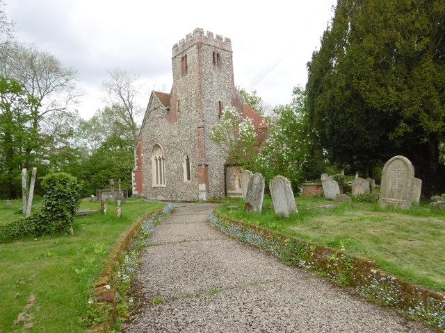
Related Wikis

Stebbing
Stebbing is a small village in the Uttlesford district of northern Essex, England. The village is situated north of the ancient Roman road Stane Street...

Bran End
Bran End is a village in Essex, England. == External links == Media related to Bran End at Wikimedia Commons

Lindsell
Lindsell is a village and civil parish in the district of Uttlesford in the county of Essex, England. Nearby settlements include the parish hamlets of...

Bustard Green
Bustard Green is a hamlet in the civil parish of Lindsell, and the Uttlesford district of Essex, England, and is just under 1 mile (2 km) north from the...

Andrewsfield Aerodrome
Andrewsfield Aerodrome (ICAO: EGSL) is located 4 NM (7.4 km; 4.6 mi) west northwest of Braintree, Essex, England, formerly RAF Andrews Field. Both the...

Bardfield Saling
Bardfield Saling is a village and former civil parish, now in the parish of The Salings, in the Braintree district, in the county of Essex, England. It...
Church End Mill, Great Dunmow
Church End Mill is a grade II listed Tower mill at Great Dunmow, Essex, England which has been converted to residential use. == History == Church End Mill...
Holder's Green
Holder's Green is a hamlet near the village of Lindsell, in the Uttlesford district of Essex, England. The hamlet is the site of the Essex Wildlife Trust...
Related Videos
St Mary the Virgin Church, Stebbing, Essex, September 2022
St Mary the Virgin Church, Stebbing, Essex. 13th September 2022. An Essex village of Beauty, with long history, St Mary the Virgin ...

Flying to Andrewsfield using the 360 camera Don't Drop it out the window....:-)))
calidus Autogyro flight to Andrewsfield for a works BBQ. Certainly beats driving...
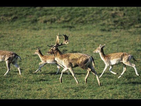
What are Deer herds? #shorts
What are deer herds? Deer are very social and travel in groups called herds. The herd is often led by a dominant male, though ...

Boeing 737-800. A circuit at London City??
Back in the Sim and just for fun, let's try a circuit at London City. Its 1560 metre long runway with a 5.5 degree approach pays ...
Nearby Amenities
Located within 500m of 51.903009,0.402109Have you been to Bran End?
Leave your review of Bran End below (or comments, questions and feedback).