Bramshill

Settlement in Hampshire Hart

England

Bramshill

Wood and farmland, Mattingley A footpath follows the edge of this arable field to the east of Alder Moor Farm.
Wood and farmland, Mattingley Credit: Andrew Smith

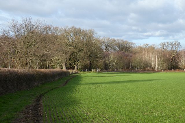
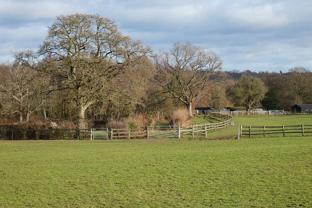
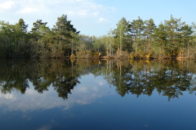
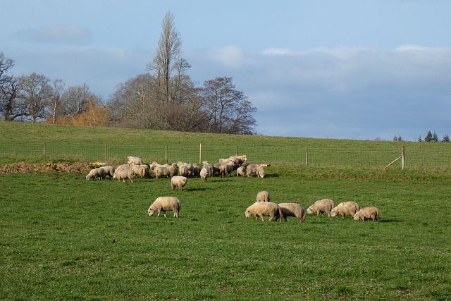
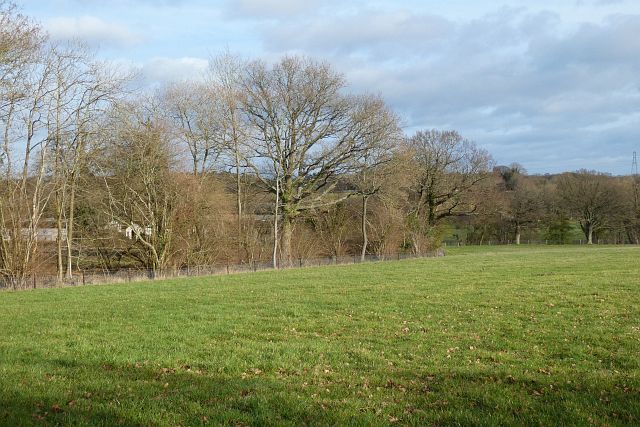
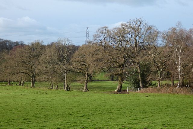
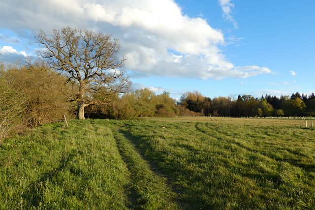
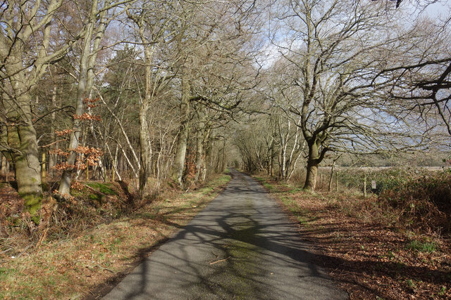
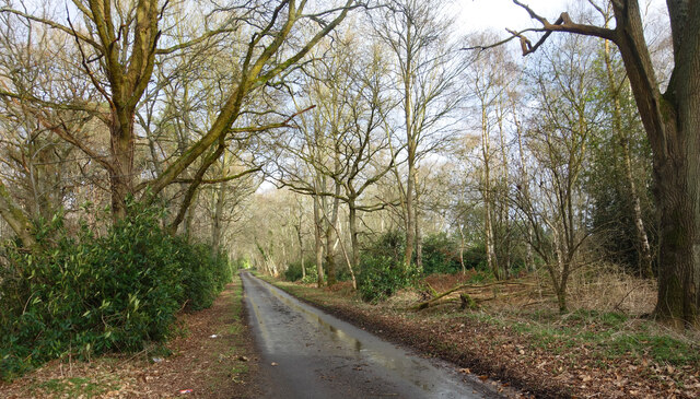
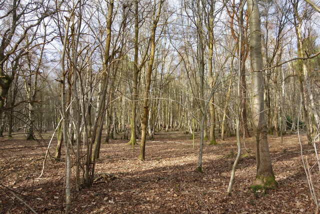
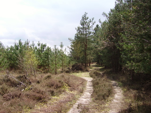
Bramshill is a small village located in the county of Hampshire, England. Situated approximately 40 miles southwest of London, it falls within the Hart district. The village is surrounded by picturesque countryside, with plenty of green spaces and woodland areas in its vicinity.

One of the notable features of Bramshill is Bramshill House, a Jacobean mansion that dates back to the early 17th century. This grand mansion, with its impressive architecture and extensive gardens, is now used as a training center for the UK Police Force. The house and its grounds are not open to the public, but its historic significance adds to the charm of the village.

In addition to Bramshill House, the village has a small number of residential properties and a primary school. The community is known for its close-knit and friendly atmosphere, with residents often engaging in local events and activities. The village also benefits from its proximity to larger towns and cities, such as Reading and Basingstoke, which offer a wider range of amenities and services.

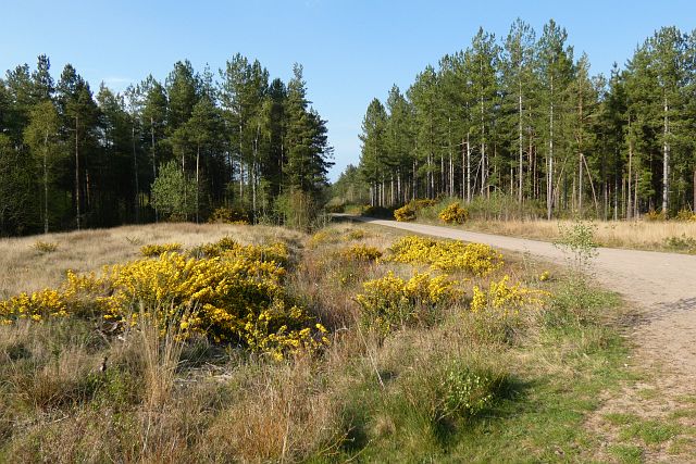
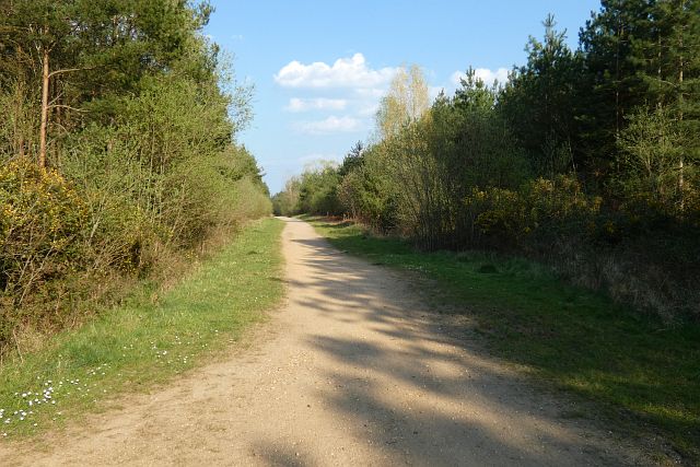
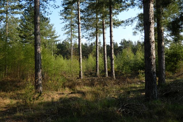
The surrounding area provides ample opportunities for outdoor activities, such as walking, cycling, and horse riding. Bramshill Forest, located nearby, is a popular destination for nature enthusiasts, with its diverse wildlife and tranquil surroundings.

Overall, Bramshill offers a peaceful and scenic environment, making it an attractive place to live for those seeking a quieter rural lifestyle within easy reach of urban amenities.

If you have any feedback on the listing, please let us know in the comments section below.

Bramshill Images

Images are sourced within 2km of 51.346116/-0.930904 or Grid Reference SU7461. Thanks to Geograph Open Source API. All images are credited.

Wood and farmland, Mattingley A footpath follows the edge of this arable field to the east of Alder Moor Farm.
Wood and farmland, Mattingley
A footpath follows the edge of this arable field to the east of Alder Moor Farm.
Pasture, Mattingley Fields at Steven's Farm in Hazeley. A public footpath passes through the smaller gate.
Pasture, Mattingley
Fields at Steven's Farm in Hazeley. A public footpath passes through the smaller gate.
Track and forestry, Bramshill A sandy track towards the north of Bramshill Plantation.
Track and forestry, Bramshill
A sandy track towards the north of Bramshill Plantation.
Track and forestry, Bramshill A track headed north in the western part of Bramshill Plantation.
Track and forestry, Bramshill
A track headed north in the western part of Bramshill Plantation.
Track and forestry, Bramshill A track headed due east in the southern part of Bramshill Plantation.
Track and forestry, Bramshill
A track headed due east in the southern part of Bramshill Plantation.
Forestry, Bramshill Mature pines towards the south of Bramshill Plantation.
Forestry, Bramshill
Mature pines towards the south of Bramshill Plantation.
Pond and woodland, Bramshill One of the pools passed by a bridleway to the west of Heath Warren.
Pond and woodland, Bramshill
One of the pools passed by a bridleway to the west of Heath Warren.
Farmland, Heckfield The sheep had just been relocated to this field from a neighbouring riverside field.
Farmland, Heckfield
The sheep had just been relocated to this field from a neighbouring riverside field.
Pasture, Heckfield A field descending towards the River Whitewater.
Pasture, Heckfield
A field descending towards the River Whitewater.
Pastures, Bramshill The southwestern corner of Netherclifts Copse and fields descending to the River Hart.
Pastures, Bramshill
The southwestern corner of Netherclifts Copse and fields descending to the River Hart.
Meadow, Heckfield One of the fields in Wellesley Water Meadows, a nature reserve to the west of the River Whitewater with public access courtesy of the Stratfield Saye Estate.
Meadow, Heckfield
One of the fields in Wellesley Water Meadows, a nature reserve to the west of the River Whitewater with public access courtesy of the Stratfield Saye Estate.
River Whitewater at Wellesley Water Meadow Not really living up to its name after heavy rain has stirred up the mud, the Whitewater is a sizeable tributary in the Loddon catchment which joins the Thames downstream from Reading. The Whitewater flows for around 20 kilometres before joining the Blackwater and then the Loddon.
Wellesley Water Meadow is next to Wellington Country Park, but unlike the park is open all the time.
River Whitewater at Wellesley Water Meadow
Not really living up to its name after heavy rain has stirred up the mud, the Whitewater is a sizeable tributary in the Loddon catchment which joins the Thames downstream from Reading. The Whitewater flows for around 20 kilometres before joining the Blackwater and then the Loddon. Wellesley Water Meadow is next to Wellington Country Park, but unlike the park is open all the time.
Mill Lane Passing Mill Wood on the way to Riseley Mill.
Mill Lane
Passing Mill Wood on the way to Riseley Mill.
A wet Mill Lane The narrow lane down to Riseley Mill after a wet weekend.
A wet Mill Lane
The narrow lane down to Riseley Mill after a wet weekend.
Silver Birch Forest, Heckfield Heath Closely packed rather spindly silver birch trees are the main species in this bit of woodland.
Silver Birch Forest, Heckfield Heath
Closely packed rather spindly silver birch trees are the main species in this bit of woodland.
Woodland, Heckfield Heath Sunlit winter trees at the edge of Wellington Country Park. The green poles are part of the deer proof fence on the park boundary.
Woodland, Heckfield Heath
Sunlit winter trees at the edge of Wellington Country Park. The green poles are part of the deer proof fence on the park boundary.
Woodland beside the B3349
Minor road, Heckfield Towards Riseley Mill.
Minor road, Heckfield
Towards Riseley Mill.
Show me another place!

Bramshill is located at Grid Ref: SU7461 (Lat: 51.346116, Lng: -0.930904)

Administrative County: Hampshire

District: Hart

Police Authority: Hampshire

What 3 Words

///increases.closed.blemishes. Near Eversley, Hampshire

Nearby Locations

Bramshill

Related Wikis

Bramshill

Bramshill is a civil parish in the English county of Hampshire. Its name has become synonymous with the Police Staff College, Bramshill located in Bramshill...
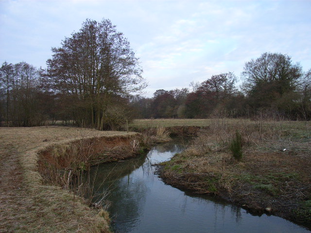
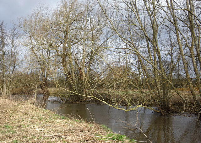
River Hart

The River Hart is a tributary of the River Whitewater in north Hampshire, England. It rises at Ashley Head spring in Crondall and flows north to meet the...

Heckfield Place

A country estate of 438 acres, the heart of Heckfield Place is a Georgian Grade II listed manor house, located in Hampshire, United Kingdom. It was built...

Hazeley

Hazeley is a village in the Hart District in Hampshire, England. It is 2.5 miles (3 km) away from Hartley Wintney and comes under the parish of Mattingley...

Heckfield Heath

Heckfield Heath is a hamlet in the civil parish of Heckfield in the Hart district of Hampshire, England. Its nearest town is Hook, which lies approximately...

Bramshill SSSI

Bramshill is a 673.3-hectare (1,664-acre) biological Site of Special Scientific Interest near Bramshill, northeast of Basingstoke in Hampshire. It is part...

Police Staff College, Bramshill

The Police Staff College, Bramshill, Bramshill House, Bramshill, (near Hook) Hampshire, England, was until 2015 the principal police staff training establishment...

Wellington Country Park

Wellington Country Park is a country park in Riseley, near Reading. == Overview == The park consists of 350 acres (1.4 km2) of coniferous and deciduous...

Nearby Amenities

Located within 500m of 51.346116,-0.930904
The Hatchgate
Disused Amenity: pub
Lat/Long: 51.3459438/-0.9328347
Power: tower
Source: bing
Lat/Long: 51.342212/-0.9299543
Power: tower
Lat/Long: 51.3455966/-0.9333908
Power: tower
Lat/Long: 51.3501488/-0.9339578
Power: tower
Lat/Long: 51.3435236/-0.9314246
Power: tower
Lat/Long: 51.3479469/-0.9336934
Hollyoak Farm
Landuse: farm
Note Retag: CS #48756035
Source: OS_OpenData_StreetView
Lat/Long: 51.3440967/-0.9267138
Barrier: block
Lat/Long: 51.3460978/-0.932589
Post Box
Operator: Royal Mail
Post Box Type: lamp
Ref: RG27 116D
Royal Cypher: EIIR
Royal Cypher Wikidata: Q33102113
Lat/Long: 51.3475059/-0.930803
Direction: 230
Generator Method: photovoltaic
Generator Output Electricity: yes
Generator Solar Modules: 16
Generator Source: solar
Generator Type: solar_photovoltaic_panel
Location: roof
Power: generator
Lat/Long: 51.3443774/-0.9322023
Direction: 260
Fixme: survey for tilt
Generator Method: photovoltaic
Generator Output Electricity: yes
Generator Solar Modules: 20
Generator Source: solar
Generator Type: solar_photovoltaic_panel
Location: roof
Power: generator
Lat/Long: 51.3442653/-0.9328464
Fixme: solar panels?
Lat/Long: 51.3447325/-0.9332915
Direction: 170
Generator Method: photovoltaic
Generator Output Electricity: yes
Generator Solar Modules: 15
Generator Source: solar
Generator Type: solar_photovoltaic_panel
Location: roof
Power: generator
Lat/Long: 51.3467852/-0.931673
The data included in this document is from www.openstreetmap.org. The data is made available under ODbL.

Have you been to Bramshill?

Leave your review of Bramshill below (or comments, questions and feedback).