Whitstone
Settlement in Cornwall
England
Whitstone

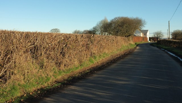
Whitstone is a small village located in the county of Cornwall, England. Situated about 10 miles west of Launceston, it is nestled in the picturesque countryside and surrounded by rolling hills and farmland. The village has a population of around 500 residents.
Whitstone is known for its tranquil and rural atmosphere, making it an ideal destination for those seeking a peaceful getaway or a quiet place to settle down. The village boasts a close-knit community, with a strong sense of camaraderie among its residents.
The heart of Whitstone consists of a charming village square, which is home to a few local shops, including a convenience store and a post office. There is also a traditional village pub, where locals and visitors can enjoy a pint of ale or a hearty meal.
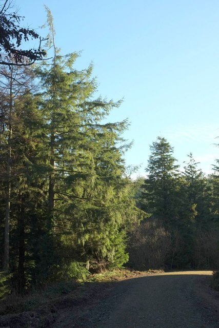
The surrounding area offers a wealth of outdoor activities, with several scenic walking trails and cycling routes to explore. Nature enthusiasts can take advantage of the nearby Tamar Valley Area of Outstanding Natural Beauty, which is renowned for its stunning landscapes and wildlife.
Despite its rural location, Whitstone benefits from good transport links. The A39 road runs through the village, connecting it to nearby towns and cities such as Bude and Barnstaple. Additionally, the village is served by a regular bus service, providing easy access to the wider region.
Overall, Whitstone offers a peaceful and idyllic setting, making it a charming destination for those seeking a quintessential English village experience.
If you have any feedback on the listing, please let us know in the comments section below.
Whitstone Images
Images are sourced within 2km of 50.759472/-4.4586204 or Grid Reference SX2698. Thanks to Geograph Open Source API. All images are credited.


Whitstone is located at Grid Ref: SX2698 (Lat: 50.759472, Lng: -4.4586204)
Unitary Authority: Cornwall
Police Authority: Devon and Cornwall
What 3 Words
///looked.custodian.amending. Near Poundstock, Cornwall
Related Wikis
Whitstone
Whitstone (Cornish: Mengwynn) is a village and civil parish in east Cornwall, England, United Kingdom. It is roughly halfway between the towns of Bude...
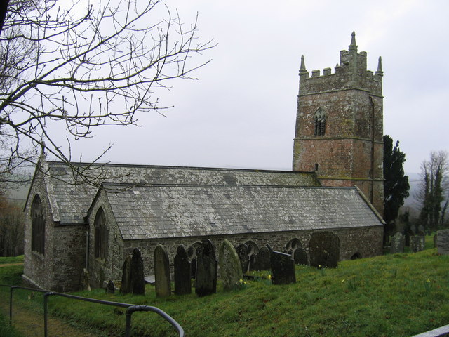
St Anne's Church, Whitstone
St Anne's Church, Whitstone is a Grade I listed parish church in the Church of England Diocese of Truro in Whitstone, Cornwall, England, UK. == History... ==

Bakesdown
Bakesdown is a hamlet in northeast Cornwall, England, United Kingdom at grid reference SS 246 005. Bakesdown is 5 miles (8 kilometres) southeast of Bude...
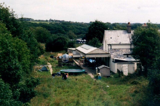
Whitstone and Bridgerule railway station
Whitstone and Bridgerule (Cornish: Mengwynn ha Ponsrowald) was a railway station on the Bude Branch that closed in 1966. The station was opened in 1898...
Nearby Amenities
Located within 500m of 50.759472,-4.4586204Have you been to Whitstone?
Leave your review of Whitstone below (or comments, questions and feedback).