Whitley Sands
Settlement in Northumberland
England
Whitley Sands

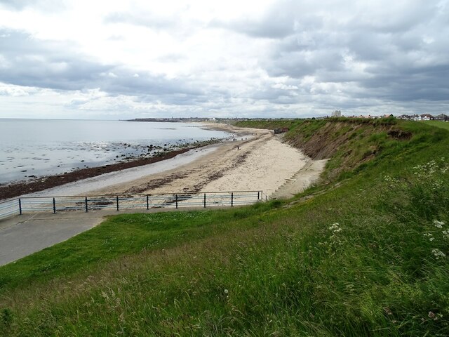
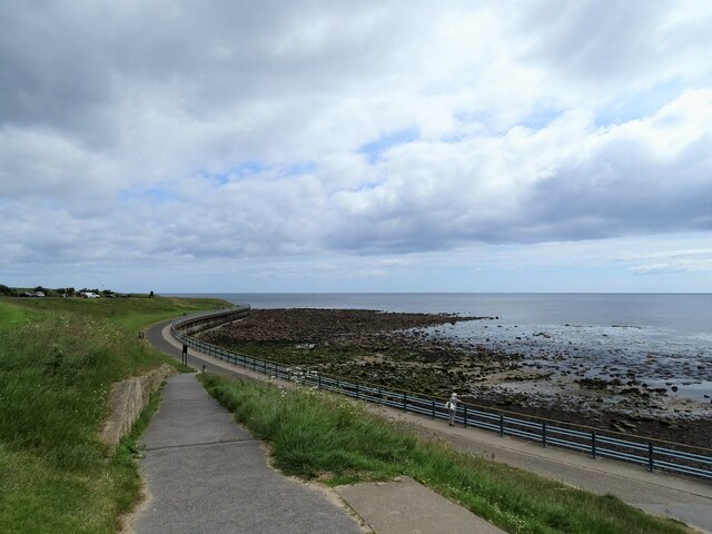
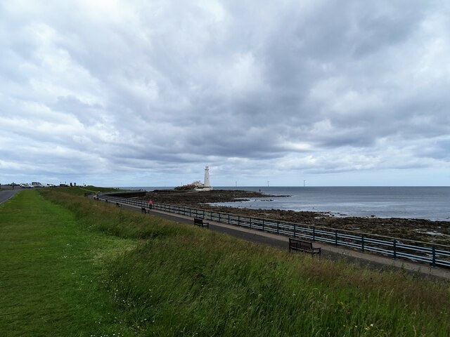
Whitley Sands is a picturesque coastal village located in the county of Northumberland, in the northeast region of England. Situated on the North Sea coast, it is nestled between the towns of Blyth and Seaton Sluice. The village is renowned for its stunning sandy beach, which stretches for miles and offers breathtaking views of the Northumberland coastline.
Whitley Sands is a popular destination for both locals and tourists alike, attracting visitors with its unspoiled natural beauty and tranquil atmosphere. The beach is a haven for water sports enthusiasts, with opportunities for swimming, surfing, and sailing. It is also a great spot for leisurely walks, picnics, and sunbathing.
The village itself is charming, with a mix of traditional cottages and modern houses. It boasts a handful of local shops, cafes, and restaurants, offering visitors a chance to relax and enjoy some local cuisine. There is also a small harbor where fishing boats can be seen coming and going, adding to the village's quaint charm.
In addition to its natural beauty, Whitley Sands is surrounded by a wealth of historical landmarks and attractions. Nearby, visitors can explore the ruins of Tynemouth Castle and Priory, steeped in history and offering stunning views of the coastline. The village is also within reach of the vibrant city of Newcastle upon Tyne, providing easy access to a range of cultural and entertainment options.
Overall, Whitley Sands offers a perfect blend of natural beauty, outdoor activities, and historical attractions, making it an idyllic destination for a peaceful getaway or an adventurous day trip.
If you have any feedback on the listing, please let us know in the comments section below.
Whitley Sands Images
Images are sourced within 2km of 55.05027/-1.4537195 or Grid Reference NZ3573. Thanks to Geograph Open Source API. All images are credited.


Whitley Sands is located at Grid Ref: NZ3573 (Lat: 55.05027, Lng: -1.4537195)
Unitary Authority: North Tyneside
Police Authority: Northumbria
What 3 Words
///fades.pumps.movies. Near Whitley Bay, Tyne & Wear
Nearby Locations
Related Wikis
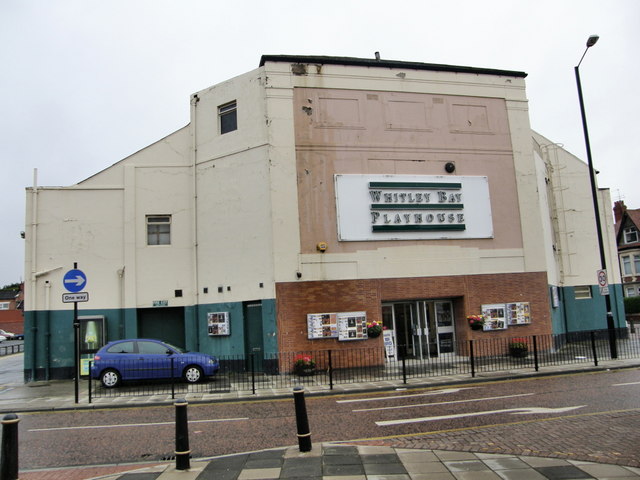
Playhouse, Whitley Bay
The Playhouse, Whitley Bay is a state of the art, 630 seater auditorium in the coastal resort of Whitley Bay, Tyne and Wear. Having undergone a major...
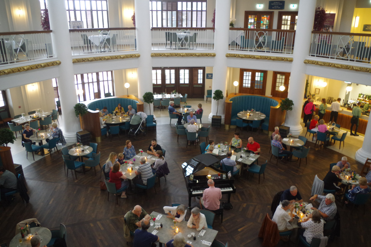
Spanish City
The Spanish City is a dining and leisure centre in Whitley Bay, a seaside town in North Tyneside, Tyne & Wear, England. Erected as a smaller version of...

Whitley Lodge
Whitley Lodge is an area of Whitley Bay, in Tyne and Wear in North East England. It is located to the north of the town, and is a residential suburb built...
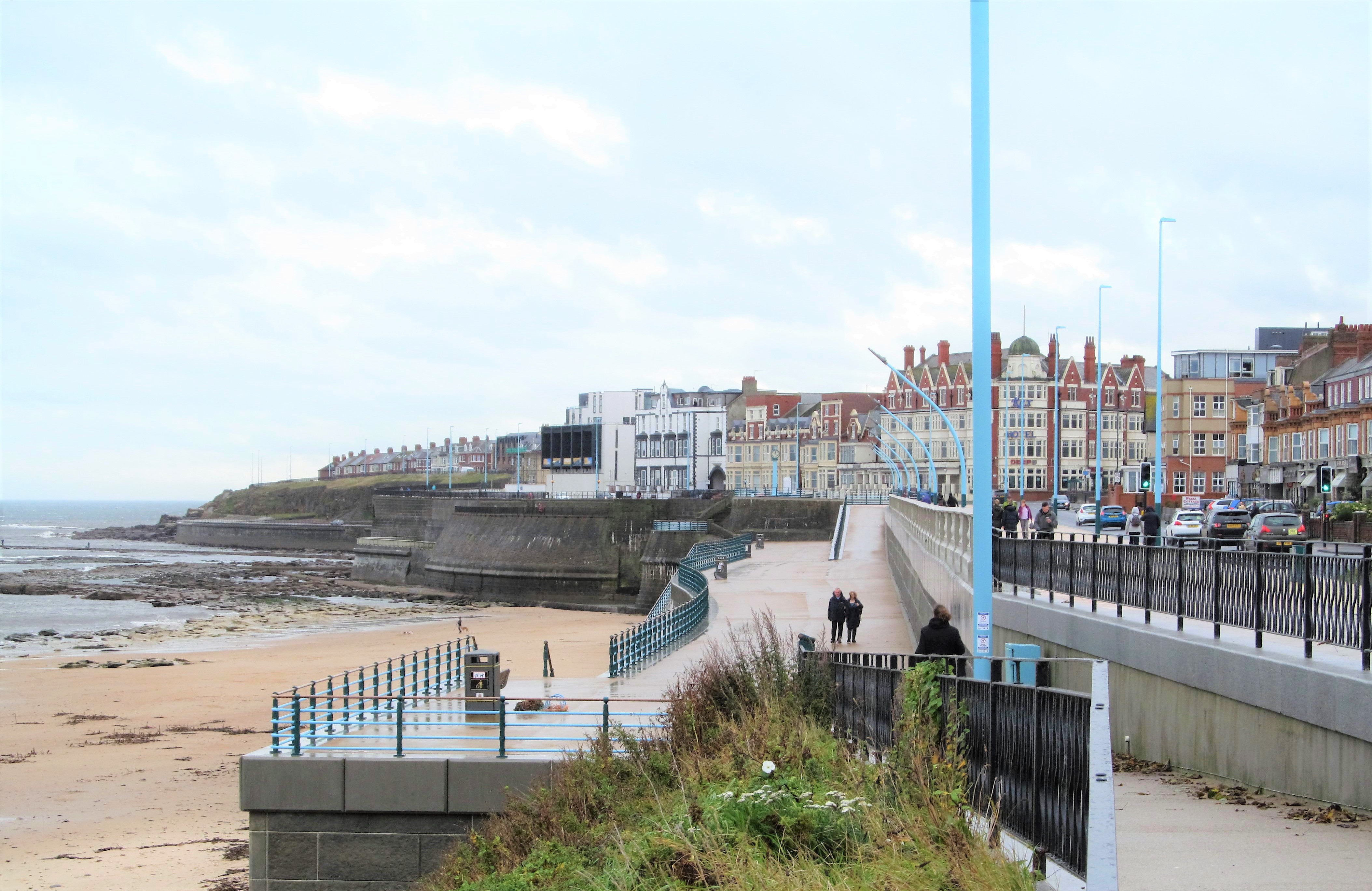
Whitley Bay
Whitley Bay is a seaside town in the North Tyneside borough in Tyne and Wear, England. It formerly governed as part of Northumberland and has been part...
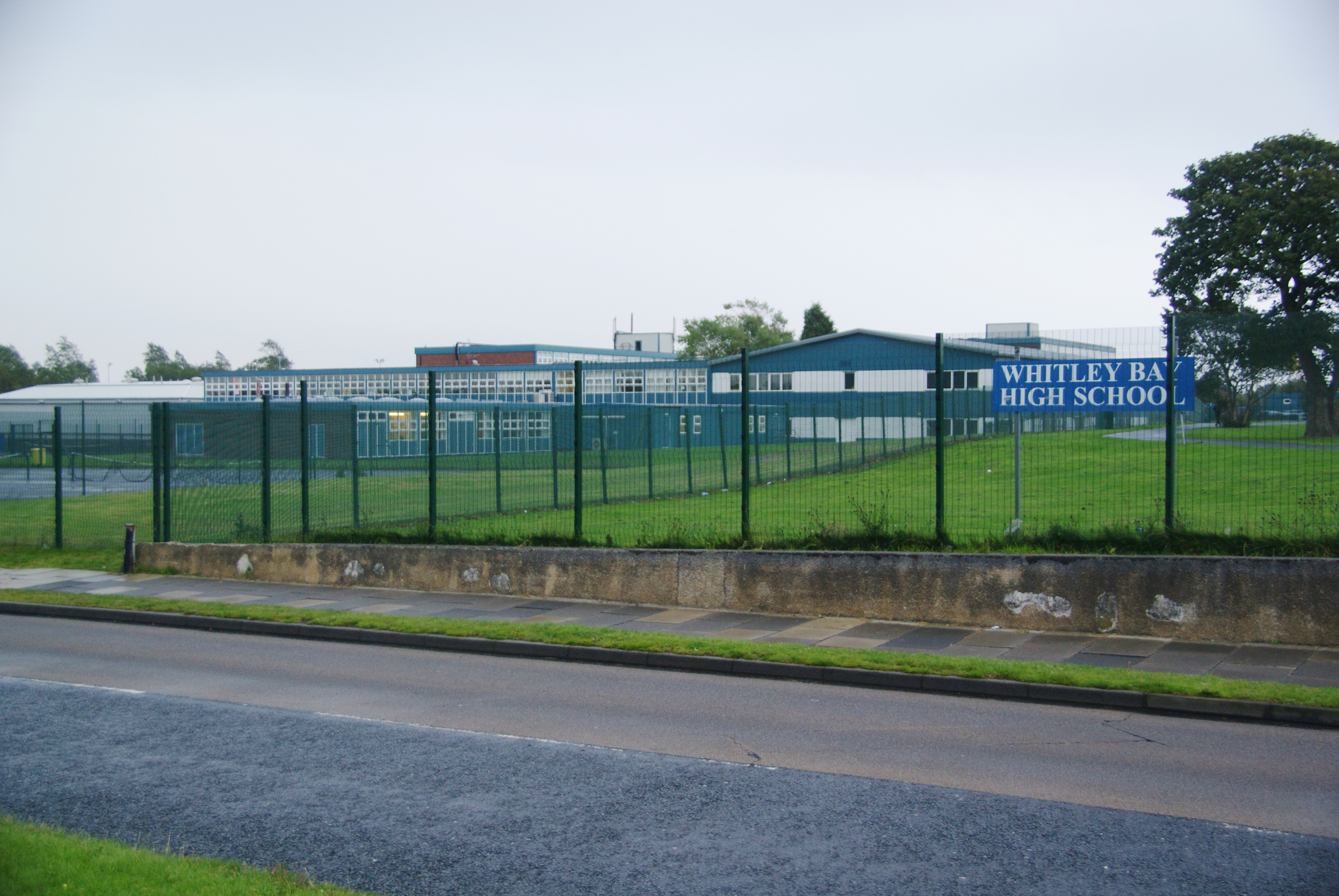
Whitley Bay High School
Whitley Bay High School is a mixed upper school and sixth form located in Whitley Bay, North Tyneside, England. == Admissions == The school has 1600 pupils...
Monkseaton
Monkseaton is an area of Whitley Bay, North Tyneside, in the North East of England. Historically in Northumberland, it is in the north-east of the borough...
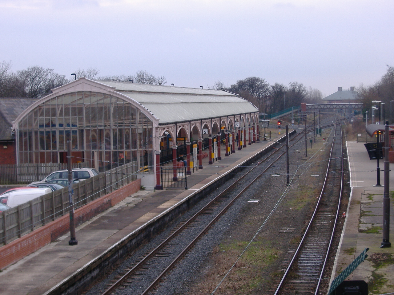
Monkseaton Metro station
Monkseaton is a Tyne and Wear Metro station, serving the suburb of Monkseaton, North Tyneside in Tyne and Wear, England. It joined the network on 11 August...

St Paul's Church, Whitley Bay
St Paul's Church is the parish church of Whitley Bay, North Tyneside, United Kingdom.The church was founded in 1864. The church's official title is St...
Nearby Amenities
Located within 500m of 55.05027,-1.4537195Have you been to Whitley Sands?
Leave your review of Whitley Sands below (or comments, questions and feedback).