Whitley Reed

Settlement in Cheshire

England

Whitley Reed

Bentley Farm
Bentley Farm Credit: Ian Greig

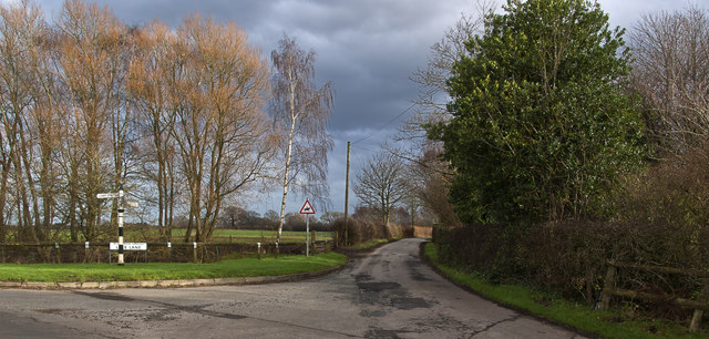
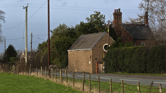
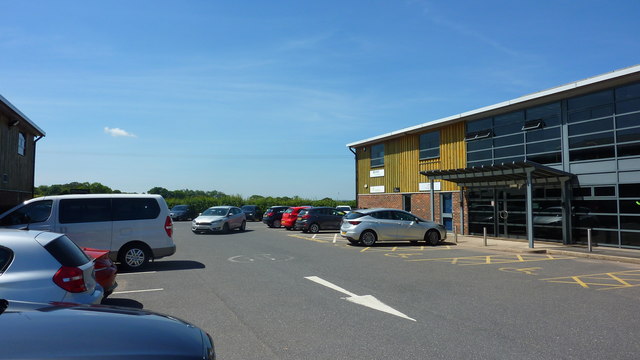
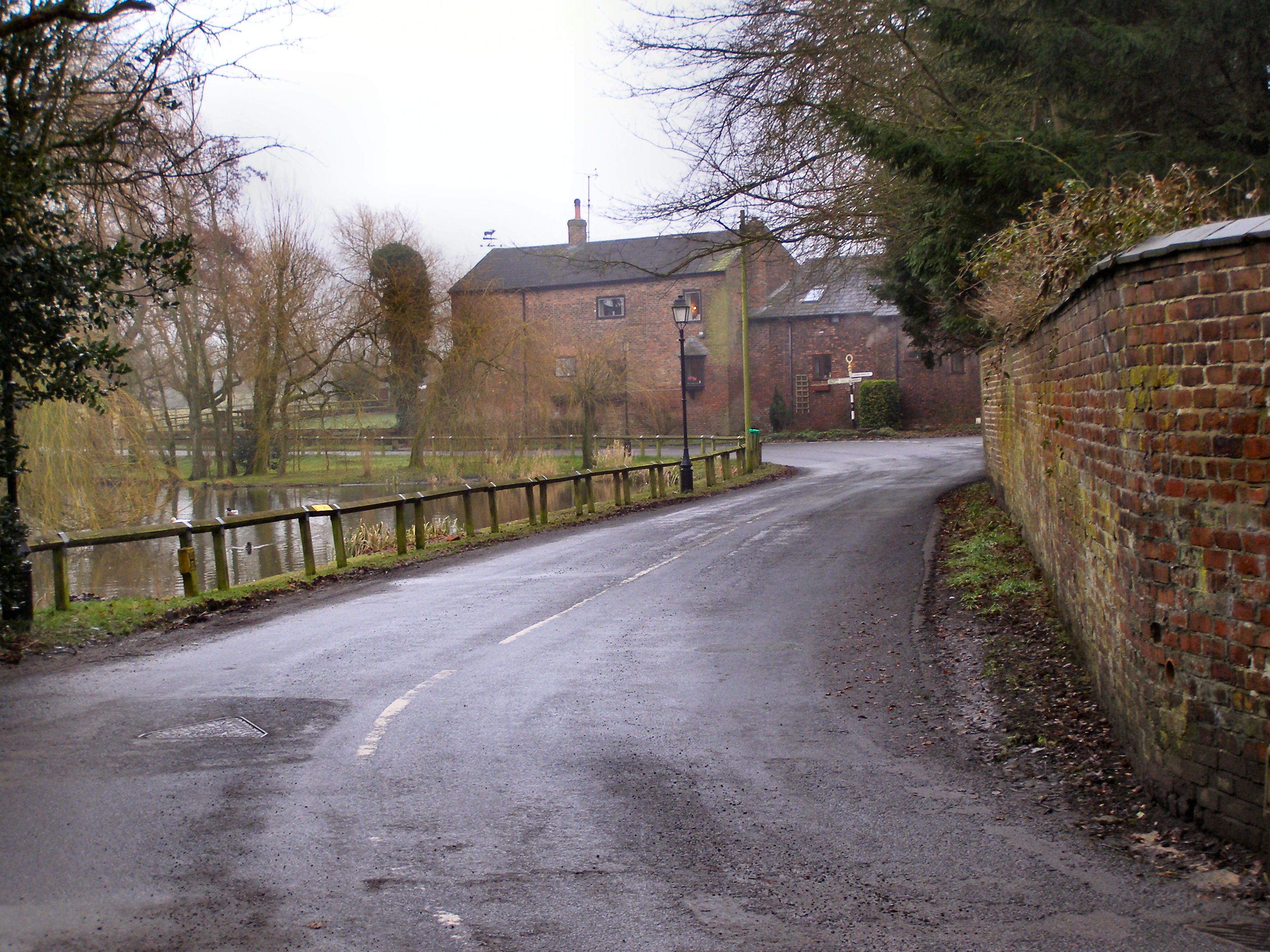
Whitley Reed is a quaint village located in Cheshire, England. It is known for its picturesque countryside views, charming cottages, and friendly community atmosphere. The village is surrounded by lush green fields and rolling hills, making it a popular destination for nature lovers and outdoor enthusiasts.

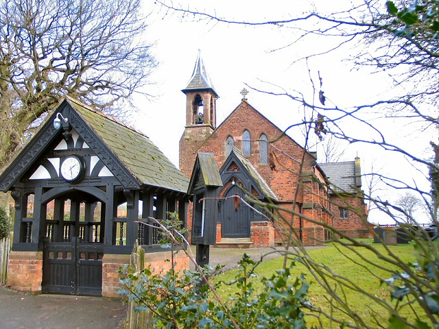
Whitley Reed boasts a number of historic buildings, including a beautiful parish church dating back to the 12th century. The village also has a small but vibrant high street, lined with local shops, cafes, and pubs where residents and visitors can enjoy a leisurely stroll or a relaxing meal.

The village is well-connected to nearby towns and cities, with good transport links making it easy to explore the surrounding area. Whitley Reed is also home to a number of community events and activities throughout the year, including summer fairs, farmers markets, and music festivals.

Overall, Whitley Reed is a charming and idyllic village that offers a peaceful retreat from the hustle and bustle of city life, making it a popular destination for those looking to escape to the countryside.

If you have any feedback on the listing, please let us know in the comments section below.

Whitley Reed Images

Images are sourced within 2km of 53.324688/-2.5419414 or Grid Reference SJ6481. Thanks to Geograph Open Source API. All images are credited.

Bentley Farm
Bentley Farm
Lake Lane
Lake Lane
A small barn on Knutsford Road
Norman's Lane Near Higher Whitley.
Norman's Lane
Near Higher Whitley.
Walnut Tree Business Centre, Off Northwich Road
Old Direction Sign - Signpost by Barber's Lane, Antrobus parish Pawn finial - 3 arms; Cheshire New CCC octagonal in parish of Antrobus (Vale Royal District), Barber's lane junction with Reed Lane, Whitley Reed turn.

To be surveyed

Milestone Society National ID: CH_SJ6481
Old Direction Sign - Signpost by Barber's Lane, Antrobus parish
Pawn finial - 3 arms; Cheshire New CCC octagonal in parish of Antrobus (Vale Royal District), Barber's lane junction with Reed Lane, Whitley Reed turn. To be surveyed Milestone Society National ID: CH_SJ6481
The M56 runs under a footbridge
The M56 heading west
Bridge over M56 for farm track and footpath to Stretton Moss The bridge carries an old track over the M56 from Mosswood Hall to fields, Moss Hall and the moorland on the left. It also provides a bridge for public footpaths which converge here, although these appear from old maps to be recent creations
Bridge over M56 for farm track and footpath to Stretton Moss
The bridge carries an old track over the M56 from Mosswood Hall to fields, Moss Hall and the moorland on the left. It also provides a bridge for public footpaths which converge here, although these appear from old maps to be recent creations
Direction Sign – Signpost Located on the northeast side of the junction of Bentleys Farm Lane and Lake Lane in Whitley parish. 3 arms and pawn finial.

Milestone Society National ID: CH_SJ6280
Direction Sign – Signpost
Located on the northeast side of the junction of Bentleys Farm Lane and Lake Lane in Whitley parish. 3 arms and pawn finial. Milestone Society National ID: CH_SJ6280
Direction Sign – Signpost Located on a grass island at the junction of Barbers Lane and Brow Lane in Antrobus parish. 3 arms and pawn finial. See also <span class="nowrap"><a title="http://www.flickr.com/photos/13171205@N08/8354352036" rel="nofollow ugc noopener" href="http://www.flickr.com/photos/13171205@N08/8354352036">Link</a><img style="margin-left:2px;" alt="External link" title="External link - shift click to open in new window" src="https://s1.geograph.org.uk/img/external.png" width="10" height="10"/></span>.

Milestone Society National ID: CH_SJ6480
Direction Sign – Signpost
Located on a grass island at the junction of Barbers Lane and Brow Lane in Antrobus parish. 3 arms and pawn finial. See also LinkExternal link. Milestone Society National ID: CH_SJ6480
Bridge over the M56 at Stretton Moss
Stile Path to Park Moss
Stile
Path to Park Moss
Gate with trees Park Moss Farm
Gate with trees
Park Moss Farm
Entry to Park Moss Woods From Park Moss Farm
Entry to Park Moss Woods
From Park Moss Farm
Footbridge Park Moss woods: Not shown on map.
Footbridge
Park Moss woods: Not shown on map.
Arley Road Westwards near Park Moss
Arley Road
Westwards near Park Moss
Welcome to Park Wood Arley Road entrance
Welcome to Park Wood
Arley Road entrance
Show me another place!

Whitley Reed is located at Grid Ref: SJ6481 (Lat: 53.324688, Lng: -2.5419414)

Unitary Authority: Cheshire West and Chester

Police Authority: Cheshire

What 3 Words

///swooned.pencil.procures. Near Stretton, Cheshire

Nearby Locations

Whitley Reed

Related Wikis

St Mark's Church, Antrobus

St Mark's Church is in Knutsford Road in the village of Antrobus, Cheshire, England. It is an active Anglican parish church in the deanery of Great Budworth...

Antrobus, Cheshire

Antrobus is a civil parish and village in Cheshire, England, about 7 mi (11 km) south of Warrington. It lies within the unitary authority of Cheshire...

Whitley, Cheshire

Whitley is a civil parish in the unitary authority of Cheshire West and Chester and the ceremonial county of Cheshire, England. It is surrounded by the...

Higher Whitley

Higher Whitley is a village and former civil parish, now in the parish of Whitley, in the unitary authority area of Cheshire West and Chester, in the ceremonial...

Nearby Amenities

Located within 500m of 53.324688,-2.5419414
The data included in this document is from www.openstreetmap.org. The data is made available under ODbL.

Have you been to Whitley Reed?

Leave your review of Whitley Reed below (or comments, questions and feedback).