Chwitffordd
Settlement in Flintshire
Wales
Chwitffordd
The requested URL returned error: 429 Too Many Requests
If you have any feedback on the listing, please let us know in the comments section below.
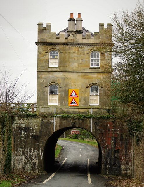
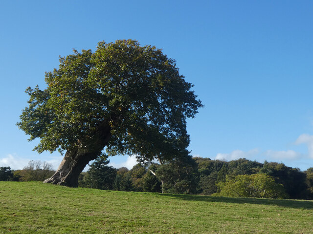
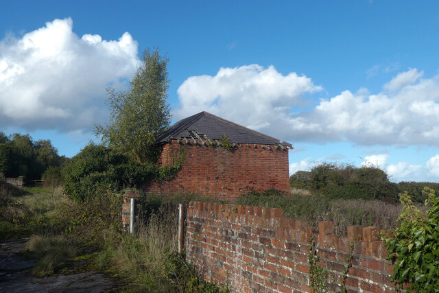
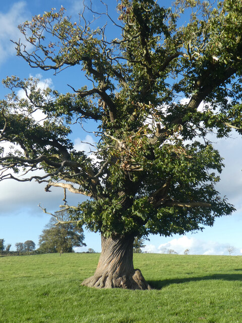
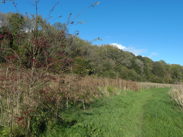
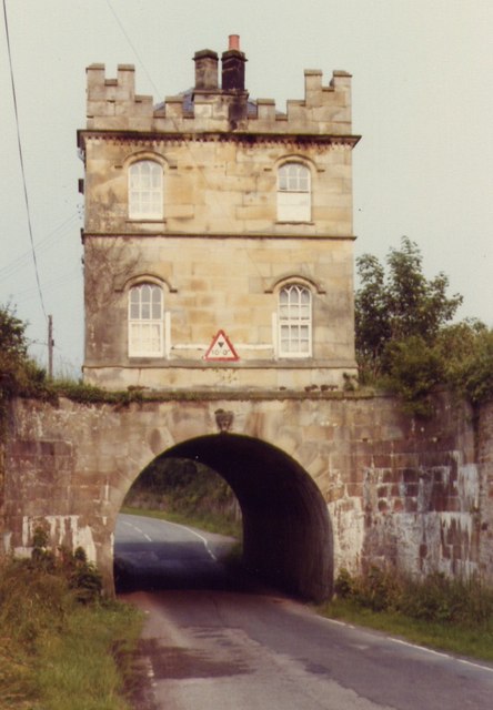
Chwitffordd Images
Images are sourced within 2km of 53.293465/-3.281746 or Grid Reference SJ1478. Thanks to Geograph Open Source API. All images are credited.


Chwitffordd is located at Grid Ref: SJ1478 (Lat: 53.293465, Lng: -3.281746)
Unitary Authority: Flintshire
Police Authority: North Wales
Also known as: Whitford
What 3 Words
///baths.blissful.firms. Near Whitford, Flintshire
Nearby Locations
Related Wikis

Church of St Beuno and St Mary
The Church of St Beuno and St Mary is a Grade I listed church in Whitford, overlooking the estuary of the river Dee. The church has a well preserved late...

Whitford, Flintshire
Whitford (Welsh: Chwitffordd) is a village, community and an electoral ward near Holywell in Flintshire, northeast Wales. The population of both the community...
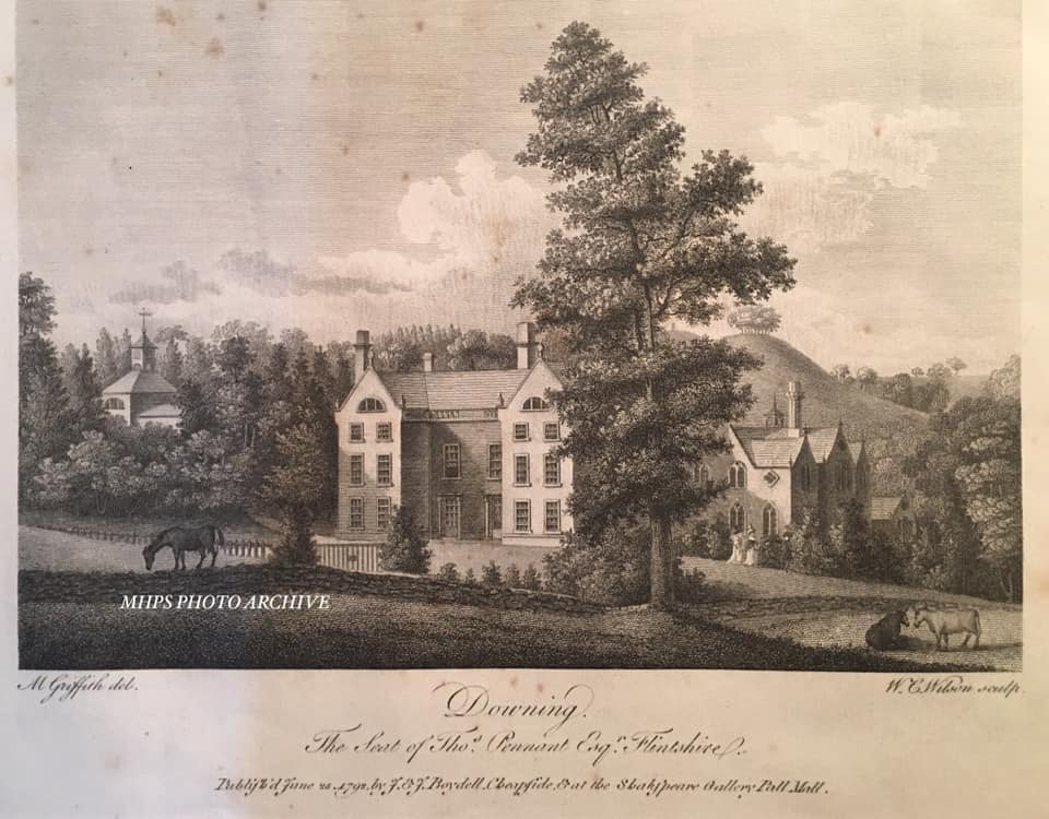
Downing Hall
Downing Hall was built in 1627 by the Pennant family near Whitford, Flintshire. It was later the home of Thomas Pennant, the naturalist, traveller and...
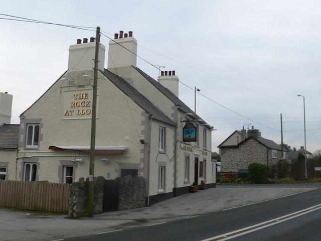
Lloc
Lloc is a small village in Flintshire, north Wales. It is located within the community of Whitford. It lies north of the Clwydian Range, just east of the...
Nearby Amenities
Located within 500m of 53.293465,-3.281746Have you been to Chwitffordd?
Leave your review of Chwitffordd below (or comments, questions and feedback).