Whitecraigs
Settlement in Renfrewshire
Scotland
Whitecraigs

Whitecraigs is an affluent suburban area located in the council area of East Renfrewshire, Scotland. It is situated approximately 10 miles southwest of Glasgow city center and is bordered by the towns of Giffnock and Newton Mearns. Known for its picturesque surroundings and desirable residential properties, Whitecraigs has gained a reputation as one of the most sought-after places to live in Renfrewshire.
The area is characterized by its tree-lined streets, spacious gardens, and a mix of architectural styles ranging from traditional sandstone villas to modern, contemporary homes. Whitecraigs boasts a strong sense of community and offers a peaceful and tranquil environment, making it particularly popular among families and professionals.
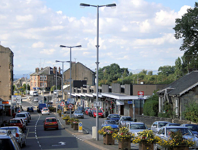
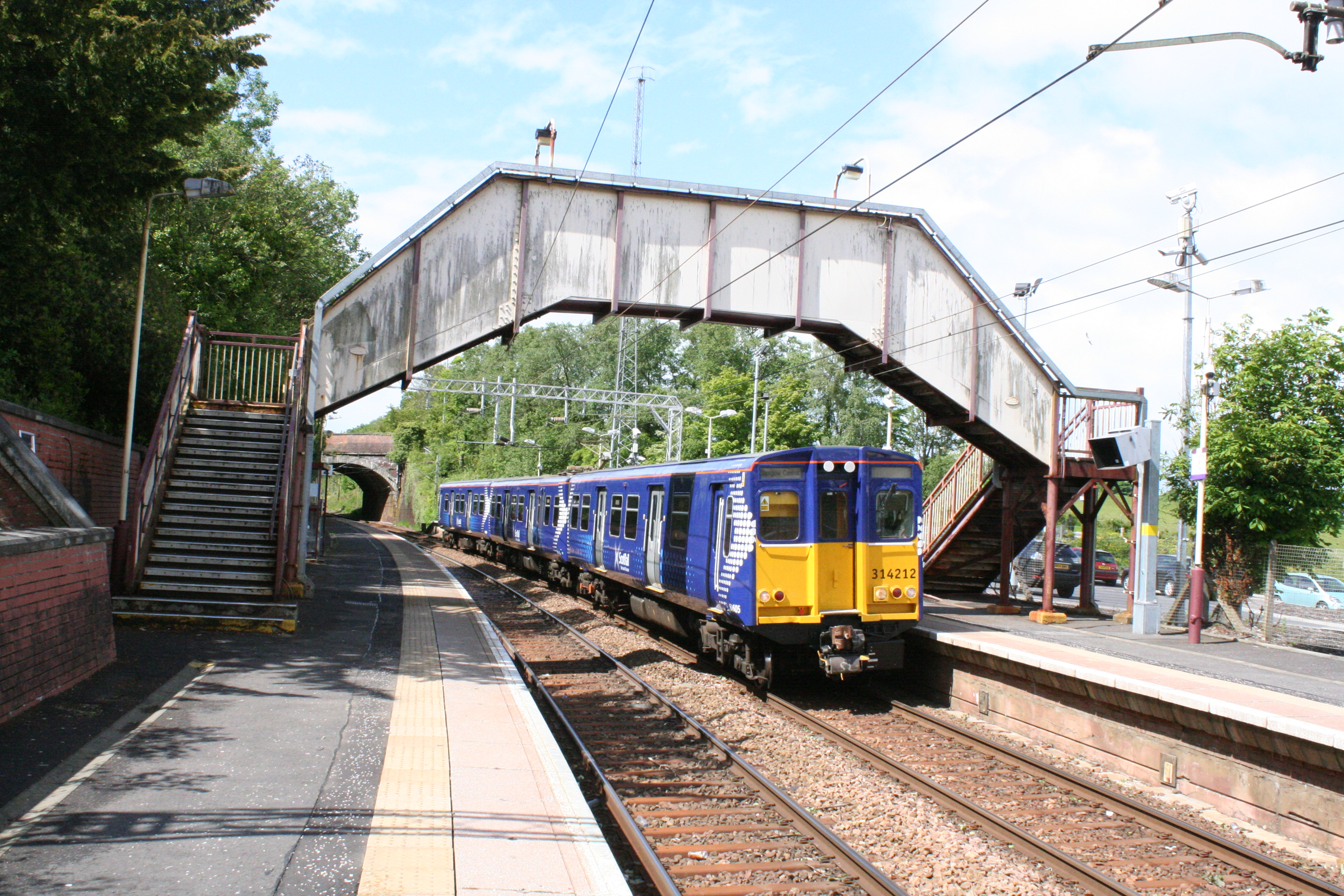
Whitecraigs is home to a number of amenities, including a range of local shops, cafes, and restaurants. The area also benefits from excellent transport links, with Whitecraigs train station providing regular services to Glasgow Central station, making it an ideal location for commuters.
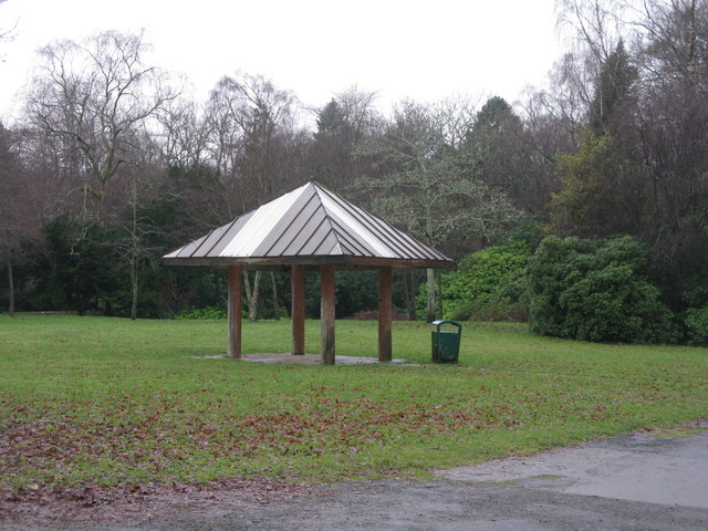
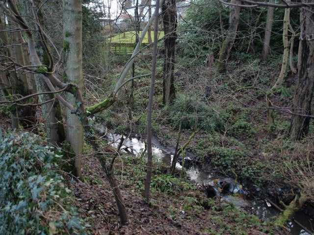
Nature enthusiasts can enjoy the nearby Rouken Glen Park, a stunning public park that offers beautiful walking trails, a boating pond, and a variety of recreational activities. Additionally, the Whitecraigs Golf Club provides an opportunity for golf enthusiasts to enjoy a round of golf in a picturesque setting.
Overall, Whitecraigs offers a high standard of living with its combination of beautiful surroundings, convenient amenities, and excellent transport links, making it a highly desirable place to reside in Renfrewshire.
If you have any feedback on the listing, please let us know in the comments section below.
Whitecraigs Images
Images are sourced within 2km of 55.784082/-4.3078414 or Grid Reference NS5556. Thanks to Geograph Open Source API. All images are credited.


Whitecraigs is located at Grid Ref: NS5556 (Lat: 55.784082, Lng: -4.3078414)
Unitary Authority: East Renfrewshire
Police Authority: Greater Glasgow
What 3 Words
///twins.score.fever. Near Newton Mearns, East Renfrewshire
Nearby Locations
Related Wikis
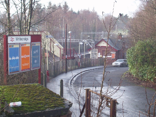
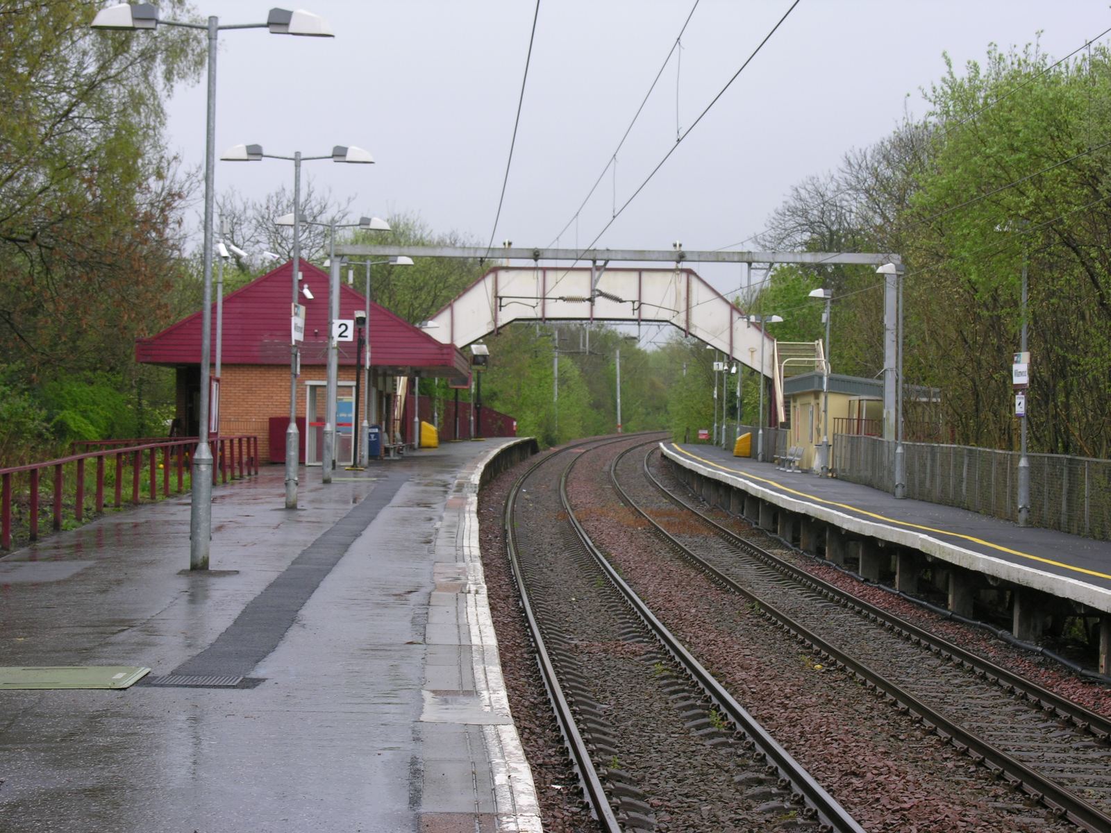
Whitecraigs railway station
Whitecraigs railway station is a railway station serving the Whitecraigs and Davieland areas of the towns of Giffnock and Newton Mearns, East Renfrewshire...
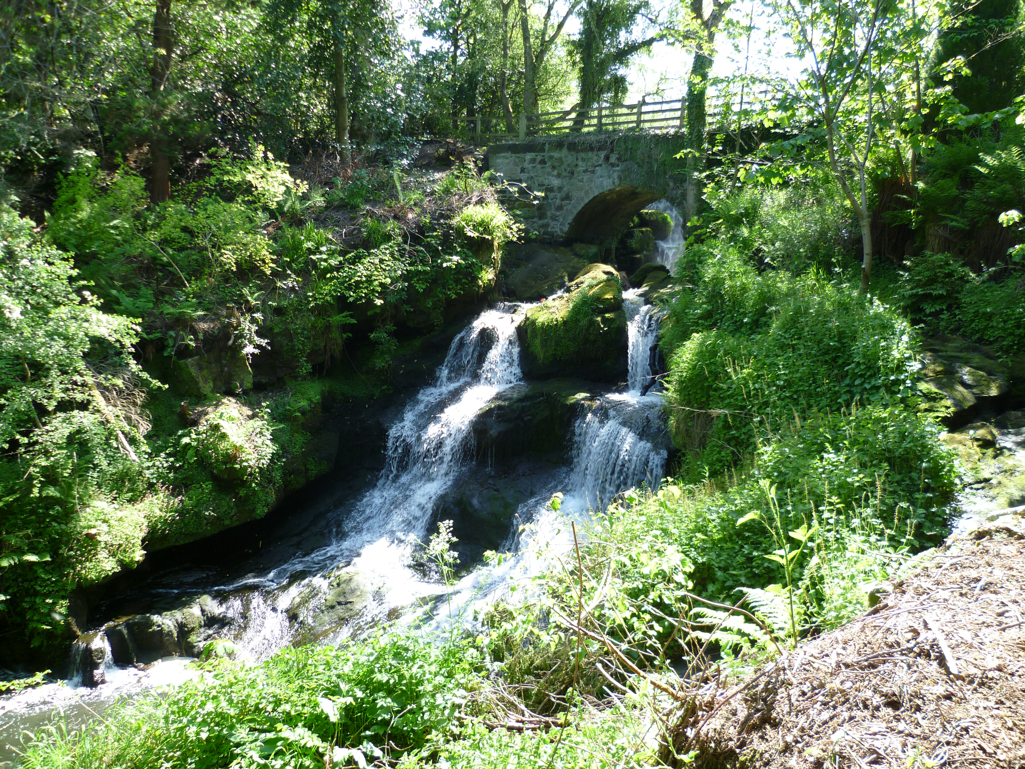
Rouken Glen Park
Rouken Glen Park is a public park in East Renfrewshire, to the south-west of Glasgow, Scotland. == History == The lands of Rouken Glen Park originally...
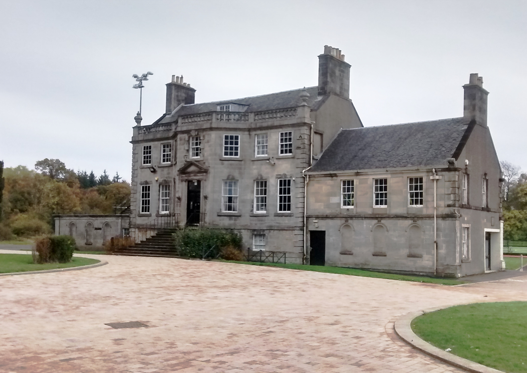
Capelrig House
Capelrig House is an 18th-century house in Newton Mearns, East Renfrewshire, Scotland, upon whose lands is situated Eastwood High School. The house is...

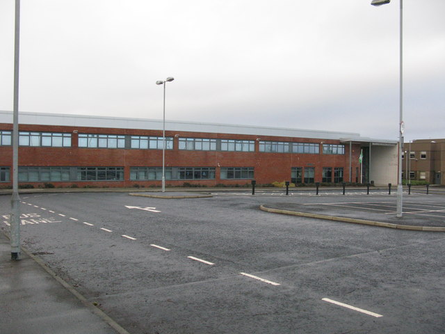
Eastwood High School, Newton Mearns
Eastwood High School is a comprehensive, non-denominational school located centrally in East Renfrewshire to the south of Glasgow, Scotland. It is one...
A727 road
The A727 road in Scotland runs from East Kilbride in South Lanarkshire, through East Renfrewshire, to Junction 3 of the M77 motorway in Glasgow. ��2�...
Williamwood railway station
Williamwood railway station is a railway station in the Williamwood area of the town of Clarkston, East Renfrewshire, Greater Glasgow, Scotland. The station...
Patterton
Patterton is an area of the town of Newton Mearns, East Renfrewshire and the Deaconsbank and Jennylind areas of Glasgow, Scotland. It is served by Patterton...
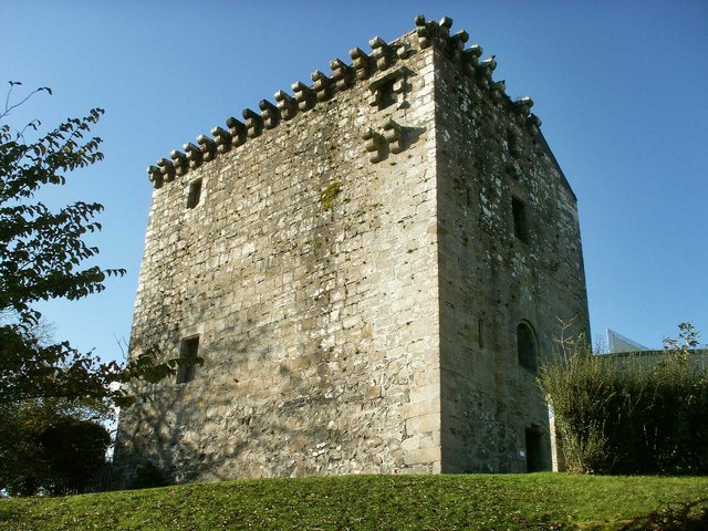
Mearns Castle
Mearns Castle is a 15th-century tower house in Newton Mearns, East Renfrewshire, south of Glasgow, Scotland. It is a Category A listed building. The castle...
Nearby Amenities
Located within 500m of 55.784082,-4.3078414Have you been to Whitecraigs?
Leave your review of Whitecraigs below (or comments, questions and feedback).