Whitebrook

Settlement in Monmouthshire

Wales

Whitebrook

Old Baptist Chapel at Whitebrook Churches and chapels no. 49. The old Baptist Chapel is on a very steep descent from Pen-y-Fan. Built in 1829 now converted to a dwelling.
Old Baptist Chapel at Whitebrook Credit: Andy Stott

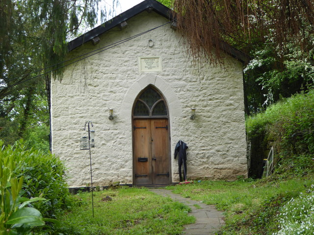
Whitebrook is a small village located in Monmouthshire, South Wales. Situated within the Wye Valley Area of Outstanding Natural Beauty, it offers residents and visitors a picturesque setting surrounded by stunning woodland and countryside. The village is nestled along the White Brook river, from which it derives its name.

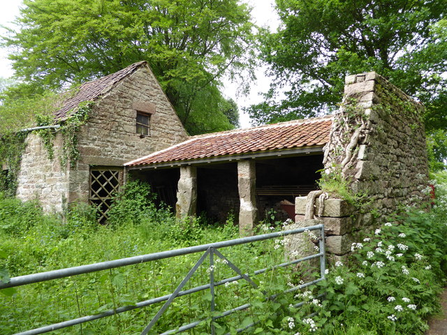
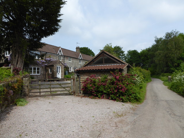
With a population of around 150 people, Whitebrook is characterized by a charming and close-knit community. The village is predominantly residential, with a few scattered farms and agricultural activities in the surrounding area. The traditional architecture of the houses adds to the village's rustic appeal.

Whitebrook is renowned for its gastronomy, being home to the renowned Michelin-starred restaurant, The Whitebrook. This fine dining establishment attracts visitors from far and wide, offering a unique culinary experience with a focus on locally sourced and foraged ingredients.

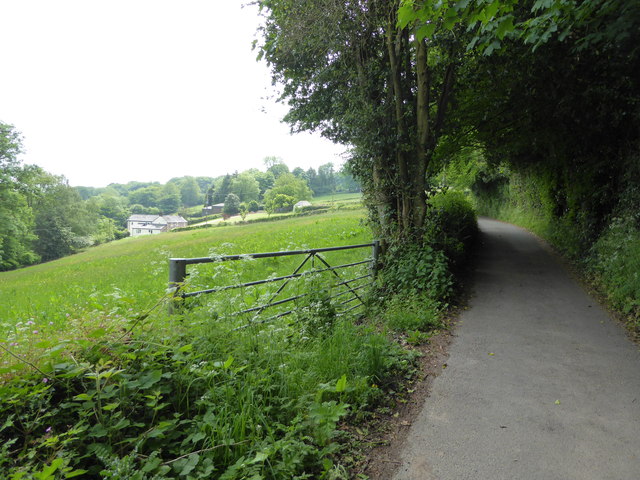
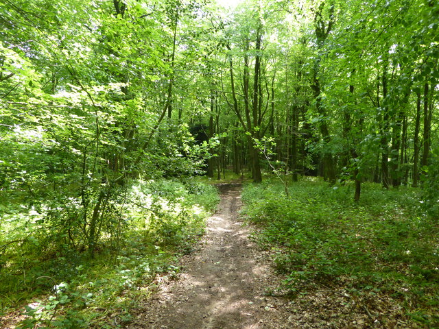
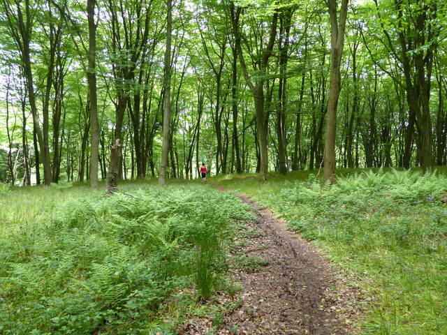
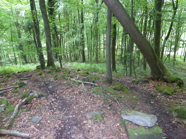
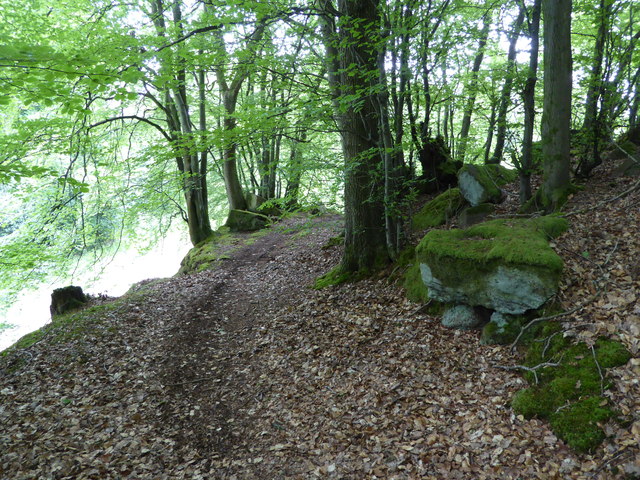
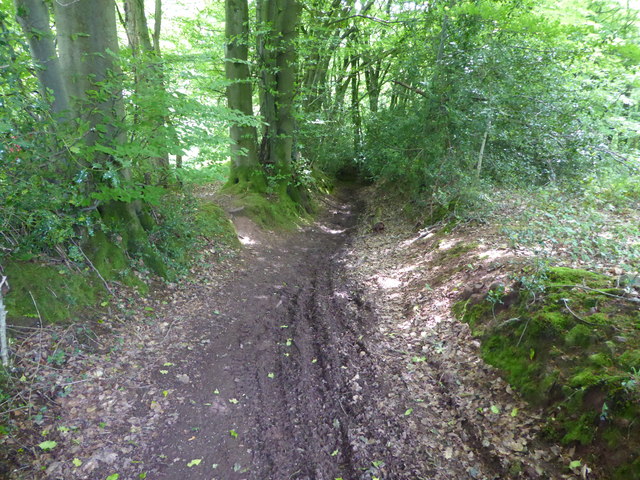
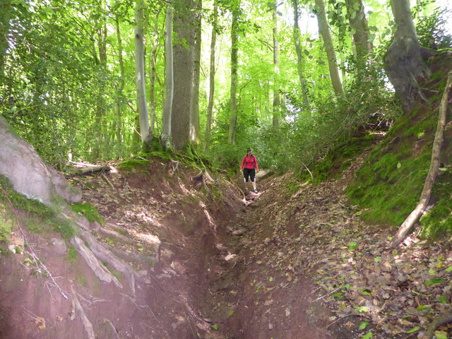
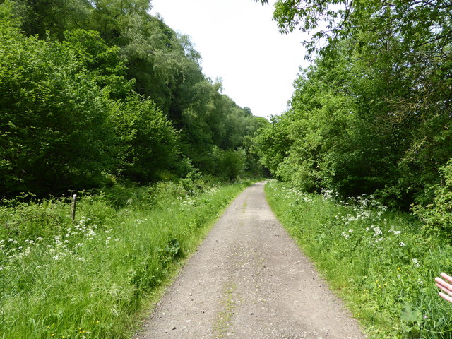
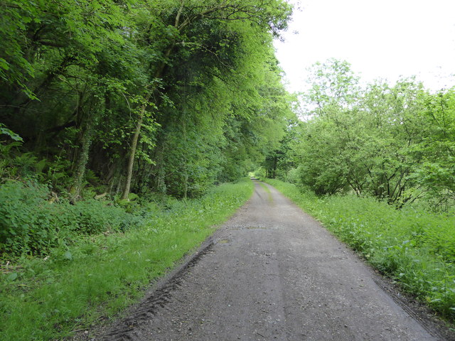
Nature enthusiasts will find plenty to explore in and around Whitebrook. The village is an excellent starting point for hiking and walking trails, with the Wye Valley Walk passing through and providing access to the breathtaking Wye Valley. The nearby Whitebrook Valley is a Site of Special Scientific Interest, known for its rich biodiversity and ancient woodland.

While Whitebrook is a peaceful and tranquil village, it is conveniently located just a short drive away from the bustling town of Monmouth and the larger city of Newport. This makes it an ideal place for those seeking a balance between rural living and access to urban amenities.

If you have any feedback on the listing, please let us know in the comments section below.

Whitebrook Images

Images are sourced within 2km of 51.755541/-2.679296 or Grid Reference SO5306. Thanks to Geograph Open Source API. All images are credited.

Old Baptist Chapel at Whitebrook Churches and chapels no. 49. The old Baptist Chapel is on a very steep descent from Pen-y-Fan. Built in 1829 now converted to a dwelling.
Old Baptist Chapel at Whitebrook
Churches and chapels no. 49. The old Baptist Chapel is on a very steep descent from Pen-y-Fan. Built in 1829 now converted to a dwelling.
Disused farm buildings near Tregagle Nice old buildings.
Disused farm buildings near Tregagle
Nice old buildings.
The Reynolds A terrace at Tregagle.
The Reynolds
A terrace at Tregagle.
Monmouthshire lane near Tre-gagle One of my fave areas in this blessed county.
Monmouthshire lane near Tre-gagle
One of my fave areas in this blessed county.
Footpath into the woods Nice May walking.
Footpath into the woods
Nice May walking.
A walk in the woods Nice walking.
A walk in the woods
Nice walking.
On a path in the woods Mountain bikers seem to like riding under this leaning tree.
On a path in the woods
Mountain bikers seem to like riding under this leaning tree.
Old path in the wood We discovered this old route.
Old path in the wood
We discovered this old route.
Old sunken way in the wood Now much used by mountain bikes and scramblers.
Old sunken way in the wood
Now much used by mountain bikes and scramblers.
Old sunken way in the wood Used and it seems abused by motorbike scramblers. The track has been eroded.
Old sunken way in the wood
Used and it seems abused by motorbike scramblers. The track has been eroded.
In the wood above Whitebrook, Mnmouthshire The village emerges beneath us.
In the wood above Whitebrook, Mnmouthshire
The village emerges beneath us.
Part of Whitebrook village The old Trinity church is now a holiday let I believe.
Part of Whitebrook village
The old Trinity church is now a holiday let I believe.
In Whitebrook village A house here, once a pub I believe.
In Whitebrook village
A house here, once a pub I believe.
Farm house at Whitebrook A handsome place.
Farm house at Whitebrook
A handsome place.
Beside the Wye at Whitebrook, Monmouthshire A dairy herd graze here beside the river.
Beside the Wye at Whitebrook, Monmouthshire
A dairy herd graze here beside the river.
On the Wye Valley Walk north of Whitebrook On the old railway line.
On the Wye Valley Walk north of Whitebrook
On the old railway line.
Part of the River Wye / Afon Gwy north of Whitebrook A family group has alighted from their Canadian canoes and is settling on the English river bank meadow for their lunch. Lucky peeps.
Part of the River Wye / Afon Gwy north of Whitebrook
A family group has alighted from their Canadian canoes and is settling on the English river bank meadow for their lunch. Lucky peeps.
On the Wye Valley Walk between Whitebrook and Redbrook On the Welsh bank heading north on the old railway line.
On the Wye Valley Walk between Whitebrook and Redbrook
On the Welsh bank heading north on the old railway line.
Show me another place!

Whitebrook is located at Grid Ref: SO5306 (Lat: 51.755541, Lng: -2.679296)

Unitary Authority: Monmouthshire

Police Authority: Gwent

Also known as: Gwenffrwd

What 3 Words

///ridiculed.spruced.translate. Near Mitchel Troy, Monmouthshire

Related Wikis

Whitebrook

Whitebrook (Welsh: Gwenffrwd) is a small village in Monmouthshire, south-east Wales, United Kingdom. It is located four miles south east of Monmouth in...

The Whitebrook

The Whitebrook, formerly known as The Crown at Whitebrook, is a restaurant with rooms in Whitebrook, 6 miles (9.7 km) south-south-east of Monmouth, Monmouthshire...

Whitebrook Halt railway station

Whitebrook Halt was a request stop on the former Wye Valley Railway. It was opened in 1927 to serve the village of Whitebrook. It was closed in 1959 when...

The Narth

The Narth (Welsh: Pennarth) is a village in Monmouthshire, Wales. It is located about 6 miles (9.7 km) south of Monmouth, and about 2 miles (3.2 km) east...

Nearby Amenities

Located within 500m of 51.755541,-2.679296
Telephone
Booth: K6
Covered: booth
Listed Status: Grade II
Man Made: telephone_box
Lat/Long: 51.7555926/-2.6764124
Post Box
Post Box Type: wall
Lat/Long: 51.7556767/-2.6766091
Whitebrook
Name Cy: Gwynffrwd
Place: village
Lat/Long: 51.7556583/-2.6750052
The data included in this document is from www.openstreetmap.org. The data is made available under ODbL.

Have you been to Whitebrook?

Leave your review of Whitebrook below (or comments, questions and feedback).