Bramley
Settlement in Surrey Waverley
England
Bramley

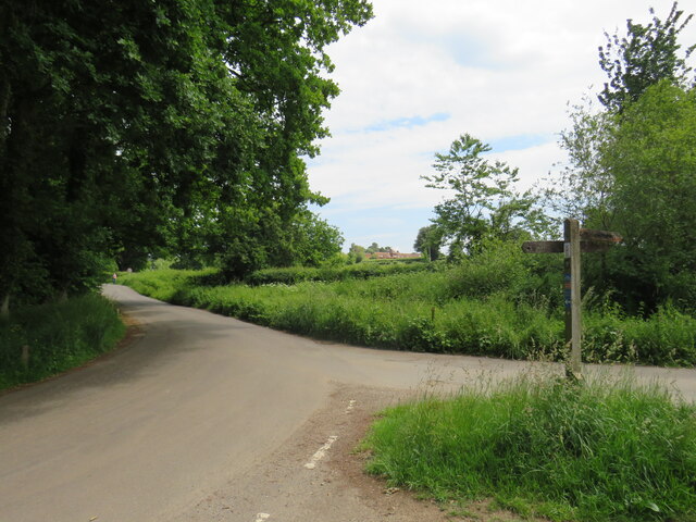
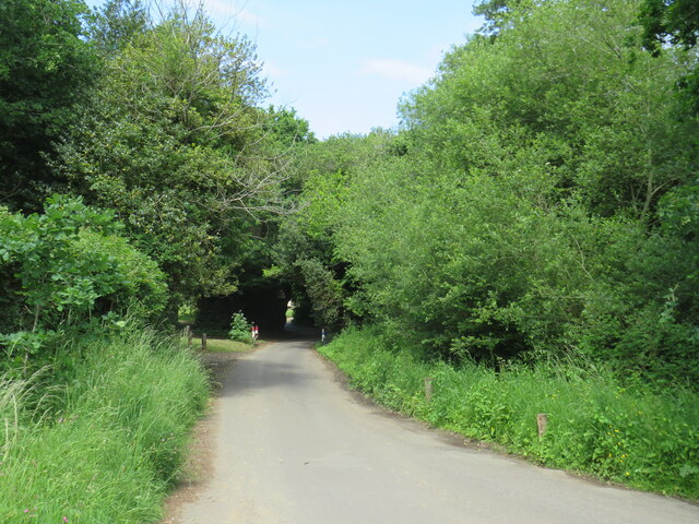
Bramley is a small village located in the county of Surrey, in the southeastern part of England. Situated approximately 30 miles southwest of London, Bramley is part of the borough of Guildford. The village is nestled in the heart of the Surrey Hills, an Area of Outstanding Natural Beauty, which offers stunning landscapes and picturesque countryside.
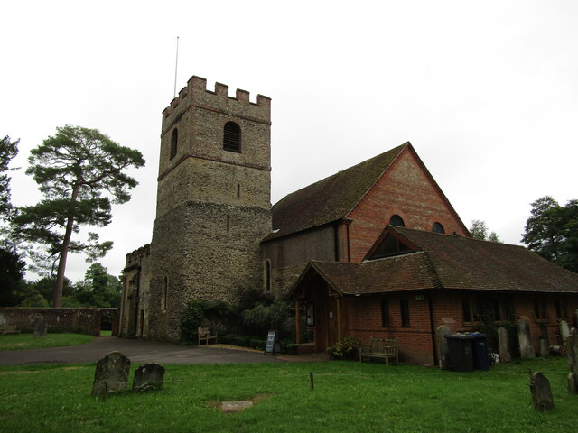
Bramley has a rich history dating back to the medieval period, and evidence of its past can be seen in the historic buildings that still stand today. The village is home to St. Catherine's Church, a Grade I listed building that dates back to the 13th century. The church is known for its beautiful stained glass windows and intricate architectural details.
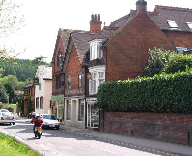
Despite its small size, Bramley offers a range of amenities for its residents and visitors. The village has a local primary school, a post office, a village hall, and several shops and pubs. The nearby town of Guildford provides additional services and facilities, including shopping centers, restaurants, and entertainment venues.
Bramley is well-connected to the surrounding areas by road and rail. The A281 road runs through the village, providing easy access to Guildford and other nearby towns. The village also has a railway station, which offers regular train services to London and other major cities.
With its charming rural setting and convenient location, Bramley attracts those seeking a peaceful and picturesque place to live or visit, while still having easy access to urban amenities.
If you have any feedback on the listing, please let us know in the comments section below.
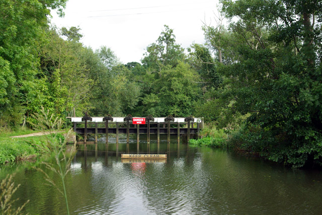
Bramley Images
Images are sourced within 2km of 51.191568/-0.556794 or Grid Reference TQ0044. Thanks to Geograph Open Source API. All images are credited.


Bramley is located at Grid Ref: TQ0044 (Lat: 51.191568, Lng: -0.556794)
Administrative County: Surrey
District: Waverley
Police Authority: Surrey
What 3 Words
///bunny.cares.stuff. Near Bramley, Surrey
Nearby Locations
Related Wikis
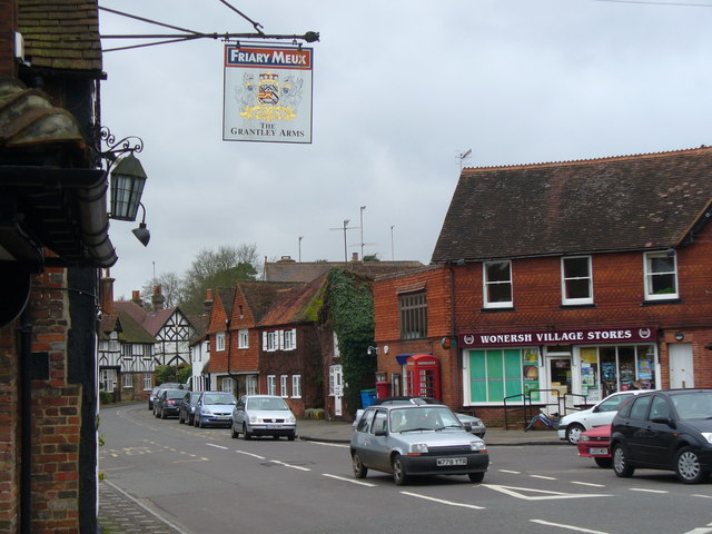
Bramley, Surrey
Bramley is a village and civil parish about three miles (5 km) south of Guildford in the Borough of Waverley in Surrey, south east England. Most of the...
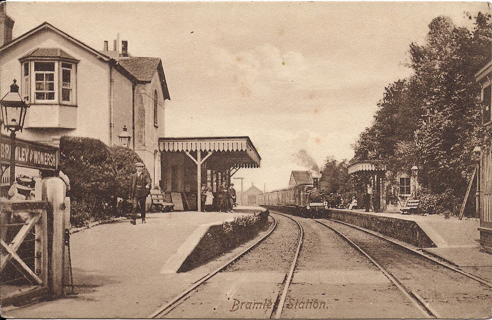
Bramley & Wonersh railway station
Bramley & Wonersh was a railway station on the Cranleigh Line. It served the villages of Bramley and Wonersh in Surrey. == History == Opened in 1865 as...
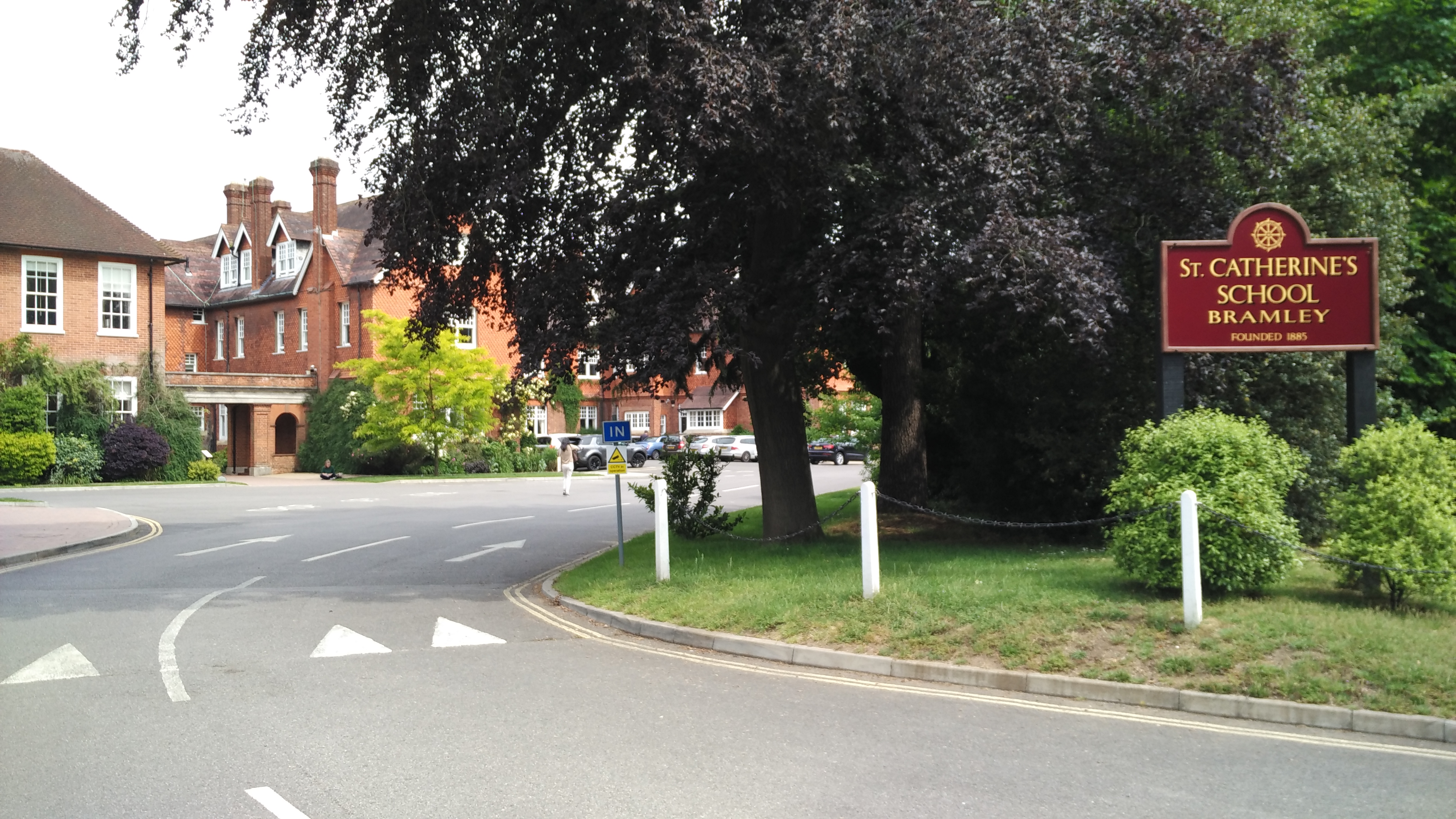
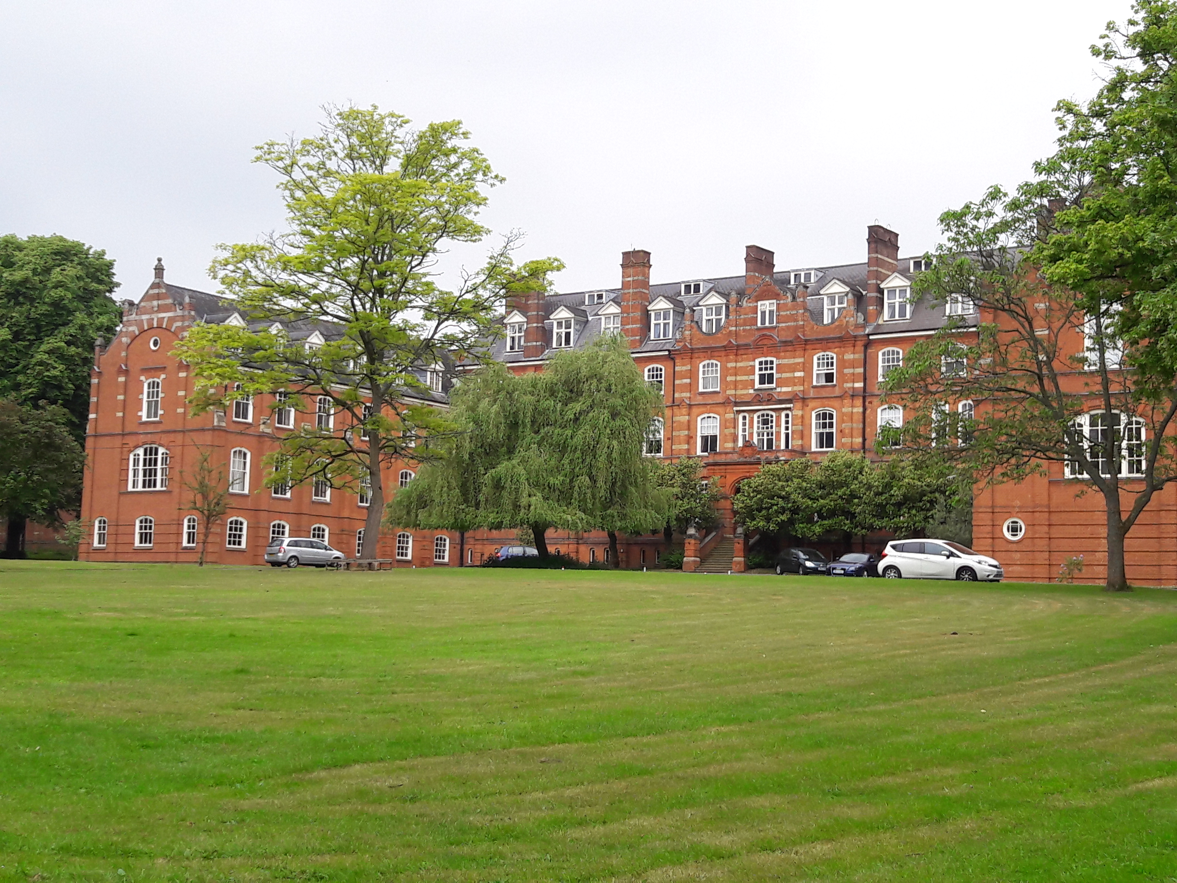
St Catherine's School, Bramley
St Catherine's School is an independent girls' boarding and day school in the village of Bramley, near Guildford, Surrey, England. The school is divided...
Wonersh
Wonersh is a village and civil parish in the Waverley district of Surrey, England and Surrey Hills Area of Outstanding Natural Beauty. Wonersh contains...

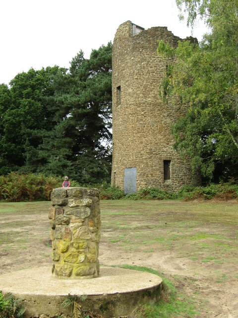
Chinthurst Hill
Chinthurst Hill is a 17.2-hectare (43-acre) Local Nature Reserve south of Guildford in Surrey. It is owned by Surrey County Council and managed by Surrey...
St John's Seminary, Wonersh
St John's Seminary was a Roman Catholic seminary located at Wonersh near Guildford in Surrey, in the Diocese of Arundel and Brighton, United Kingdom. St...

Orchards, Surrey
Orchards is an Arts and Crafts style house in Bramley in Surrey, England. It is on Bramley's boundary with Busbridge and 1 mile (1.6 km) south-east of...
Wey Valley Meadows
Wey Valley Meadows is a 94.1-hectare (233-acre) biological Site of Special Scientific Interest north of Godalming in Surrey.This 4-kilometre (2.5-mile...
Nearby Amenities
Located within 500m of 51.191568,-0.556794Have you been to Bramley?
Leave your review of Bramley below (or comments, questions and feedback).