Wheathampstead
Settlement in Hertfordshire St. Albans
England
Wheathampstead
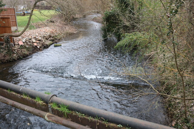
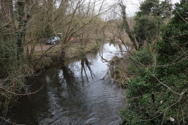
Wheathampstead is a charming village located in Hertfordshire, England. Situated on the River Lea, it lies about four miles east of Harpenden and six miles north of St Albans. With a population of around 7,000 residents, Wheathampstead offers a peaceful and picturesque setting that attracts both locals and visitors alike.
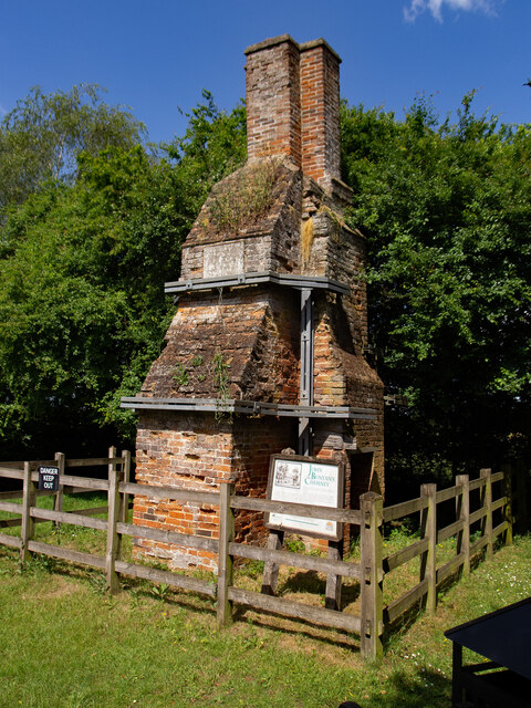
The village is steeped in history, dating back to Roman times. Evidence of Roman occupation can still be seen through the remains of a Roman bathhouse located at the village's southern end. Additionally, the ruins of a Norman motte-and-bailey castle, known as Wheathampstead Castle, can be explored in the nearby Nomansland Common.
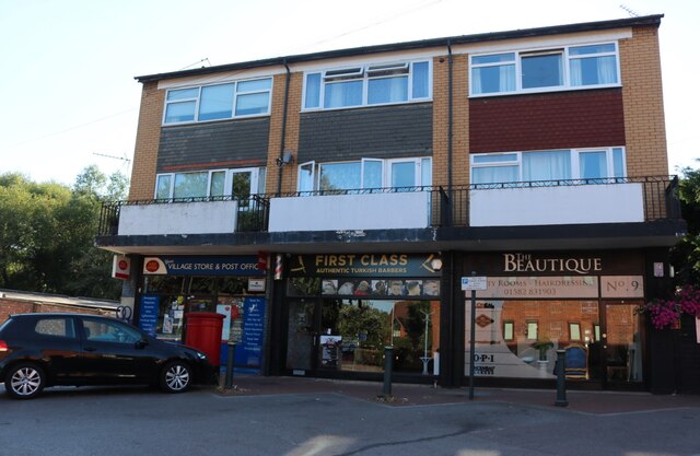
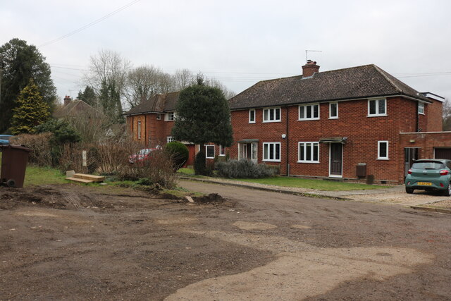
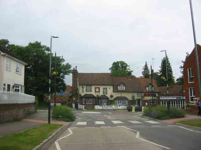
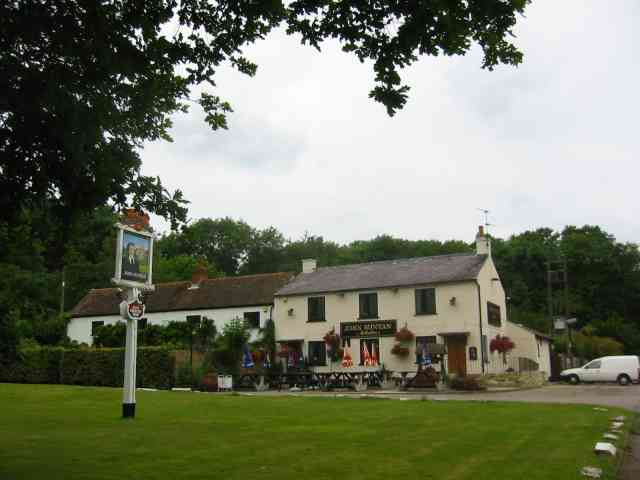
Wheathampstead boasts a thriving community with a range of amenities. The High Street is a vibrant hub, lined with a variety of shops, pubs, and restaurants. It also features a weekly market, offering fresh produce and locally-made crafts. The village is home to several churches, reflecting its rich religious heritage.
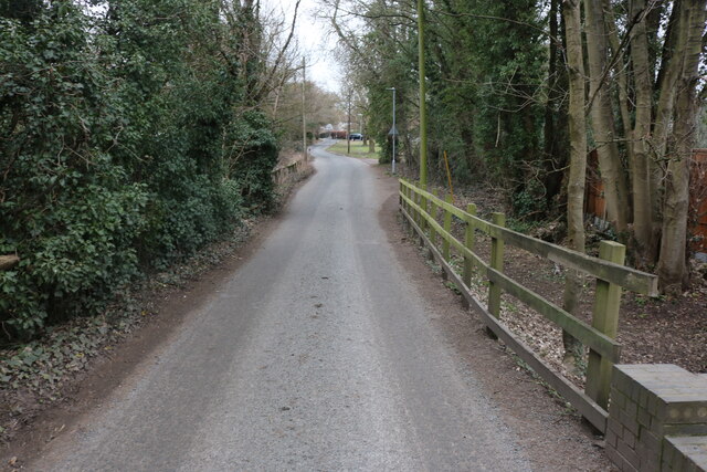
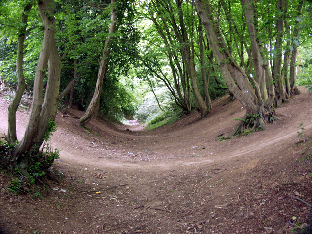
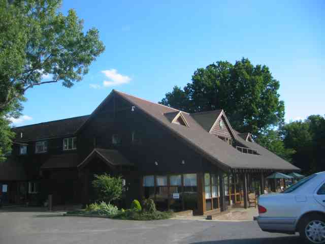
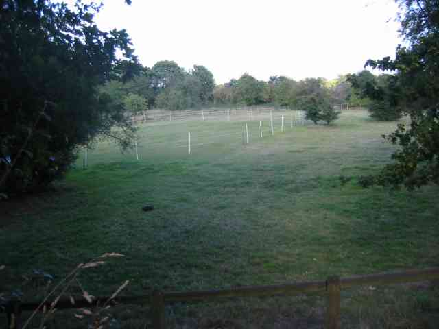
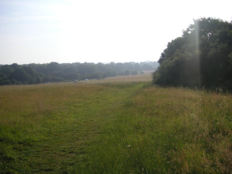
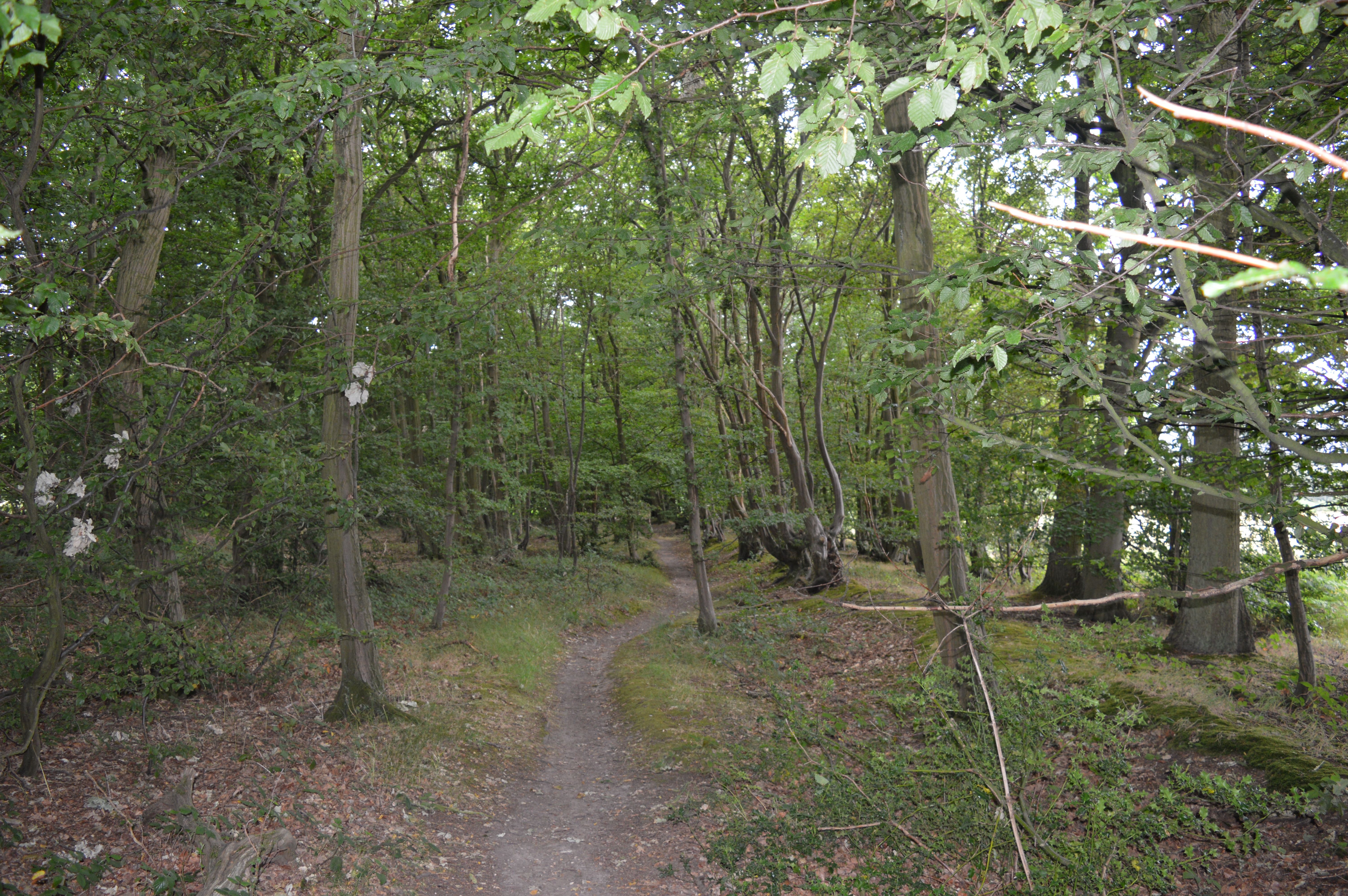
Nature enthusiasts will appreciate the village's proximity to beautiful countryside. The surrounding area offers numerous walking and cycling trails, including the renowned Ayot Greenway, which follows the path of a disused railway line. Nomansland Common, a designated Site of Special Scientific Interest, is a haven for wildlife and a popular spot for picnicking and outdoor activities.
Wheathampstead is well-connected to neighboring towns and cities via road and public transportation. The village has a primary school and is within easy reach of several secondary schools and colleges. Its idyllic location, rich history, and close-knit community make Wheathampstead a desirable place to live or visit in Hertfordshire.
If you have any feedback on the listing, please let us know in the comments section below.
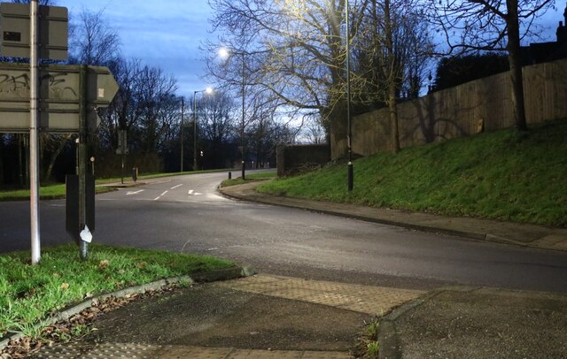
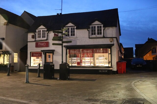
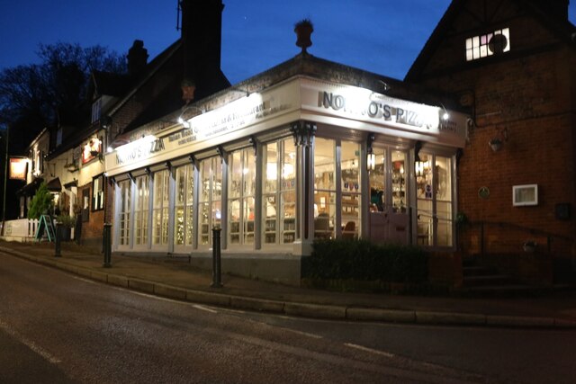
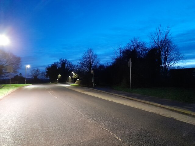
Wheathampstead Images
Images are sourced within 2km of 51.811762/-0.2938776 or Grid Reference TL1713. Thanks to Geograph Open Source API. All images are credited.


Wheathampstead is located at Grid Ref: TL1713 (Lat: 51.811762, Lng: -0.2938776)
Administrative County: Hertfordshire
District: St. Albans
Police Authority: Hertfordshire
What 3 Words
///poetic.models.clash. Near Wheathampstead, Hertfordshire
Nearby Locations
Related Wikis

Wheathampstead
Wheathampstead is a village and civil parish in Hertfordshire, England, north of St Albans. The population of the ward at the 2001 census was 6,058. Included...

St Helen's Church, Wheathampstead
St Helen's Church is the oldest church in Wheathampstead, Hertfordshire, England, although the date of its origins is unknown. The wooden Anglo-Saxon structure...

Wheathampstead railway station
Wheathampstead railway station was a railway station serving Wheathampstead on the Great Northern Railway branch line to Dunstable. While little of it...

Devil's Dyke, Hertfordshire
Devil's Dyke is the remains of a prehistoric defensive ditch which lies at the east side of the village of Wheathampstead, Hertfordshire, England. It is...
Nomansland Common
Nomansland Common (sometimes simply called No Man's Land) is an area of common land in Hertfordshire, England to the south of Harpenden and the south-west...

Marshalls Heath
Marshalls Heath is a hamlet and a 4-hectare (10-acre) Local Nature Reserve in Wheathampstead parish, Hertfordshire, England. The nature reserve is owned...

Aldwickbury School
Aldwickbury School is a 4–13 boys private preparatory school located on the outskirts of Harpenden, Hertfordshire in the United Kingdom. Aldwickbury School...
Stocking Springs Wood
Stocking Springs Wood is a 1.1-hectare (2.7-acre) nature reserve between Ayot St Lawrence and Ayot St Peter in Welwyn Hatfield district in Hertfordshire...
Nearby Amenities
Located within 500m of 51.811762,-0.2938776N-bound side of the road.
"Meter Mail" & "Stamped Mail"
Have you been to Wheathampstead?
Leave your review of Wheathampstead below (or comments, questions and feedback).