Westwood
Settlement in Kent Canterbury
England
Westwood

Westwood is a small village located in the county of Kent, in southeastern England. Situated just south of the North Downs, it forms part of the Sevenoaks District and lies approximately 5 miles west of the town of Sevenoaks. The village is surrounded by picturesque countryside, offering residents and visitors a tranquil and idyllic setting.
Westwood has a population of around 1,200 people, making it a close-knit and friendly community. The village is characterized by its charming historic buildings, including traditional cottages and a beautiful 13th-century church, St. Mary the Virgin. The church's bell tower is a notable landmark and provides stunning views of the surrounding countryside.
Residents of Westwood benefit from several amenities within the village, including a village hall and a primary school, which serves the local community. The village also has a pub, The Woodman, where locals and visitors can enjoy a drink and a meal in a cozy and welcoming atmosphere.
The surrounding area offers numerous opportunities for outdoor activities and exploration, with plenty of walking and cycling routes through the picturesque countryside. Westwood is conveniently located near several nature reserves and parks, such as Knole Park and Sevenoaks Wildlife Reserve, providing opportunities for wildlife spotting and enjoying the beauty of nature.
Overall, Westwood is a charming and peaceful village, offering a close-knit community, beautiful historic buildings, and access to stunning natural surroundings.
If you have any feedback on the listing, please let us know in the comments section below.
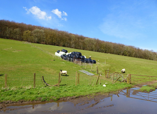
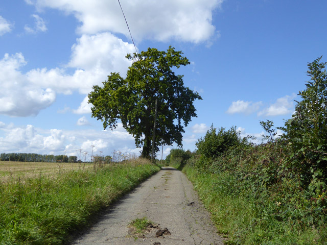
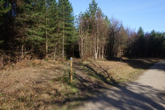
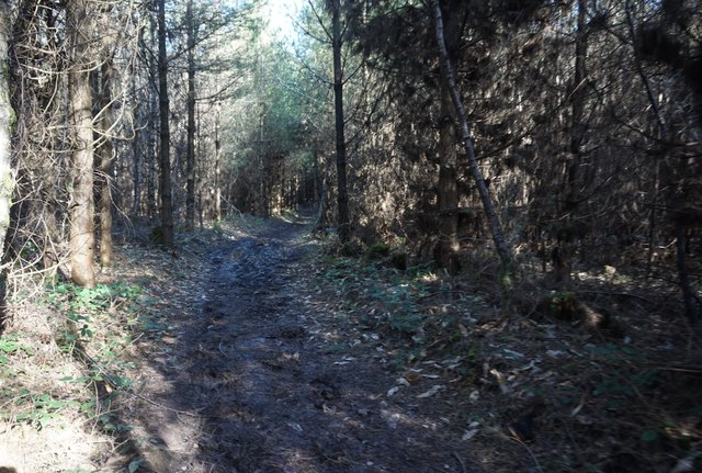
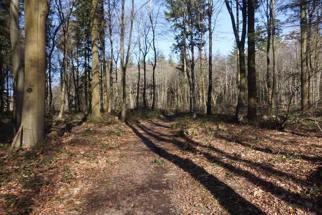
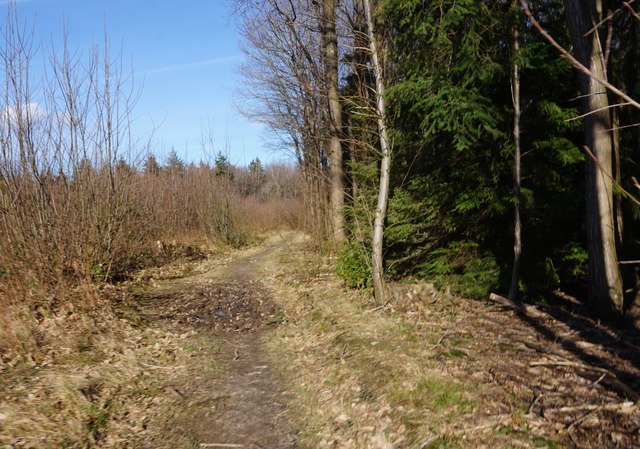
Westwood Images
Images are sourced within 2km of 51.206721/1.1060577 or Grid Reference TR1749. Thanks to Geograph Open Source API. All images are credited.


Westwood is located at Grid Ref: TR1749 (Lat: 51.206721, Lng: 1.1060577)
Administrative County: Kent
District: Canterbury
Police Authority: Kent
What 3 Words
///typed.crawling.trainer. Near Barham, Kent
Nearby Locations
Related Wikis

Reed Mill, Kingston
Reed Mill is a tower mill in Kingston, Kent, England that was built in the early nineteenth century and worked until 1915, after which the mill was derelict...

Marley, Canterbury
Marley is a scattered hamlet in the civil parish of Kingston, in the county of Kent, England. The hamlet is on a minor road about 1 mile (1.6 km) southwest...

Upper Hardres
Upper Hardres is a village and civil parish in the City of Canterbury, in the district of Kent, England. The name of the Hardres family is perpetuated...
Bossingham
Bossingham is a village in the parish of Upper Hardres and the district of the City of Canterbury, Kent, England. It is located about five miles (8 km...
Nearby Amenities
Located within 500m of 51.206721,1.1060577Have you been to Westwood?
Leave your review of Westwood below (or comments, questions and feedback).