Weston

Settlement in Shropshire

England

Weston

The Travelodge, Oswestry Part of the services at the A5 / A483 junction.
The Travelodge, Oswestry Credit: Humphrey Bolton

The requested URL returned error: 429 Too Many Requests

If you have any feedback on the listing, please let us know in the comments section below.
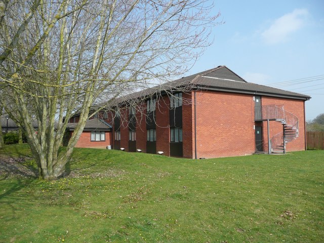
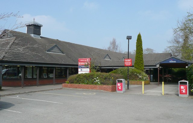
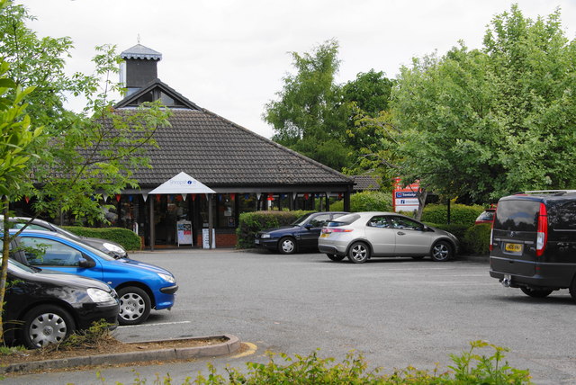
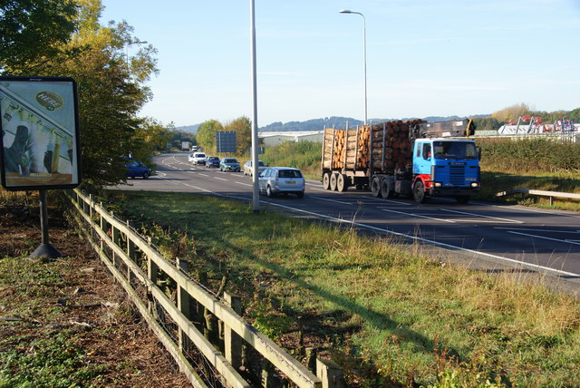
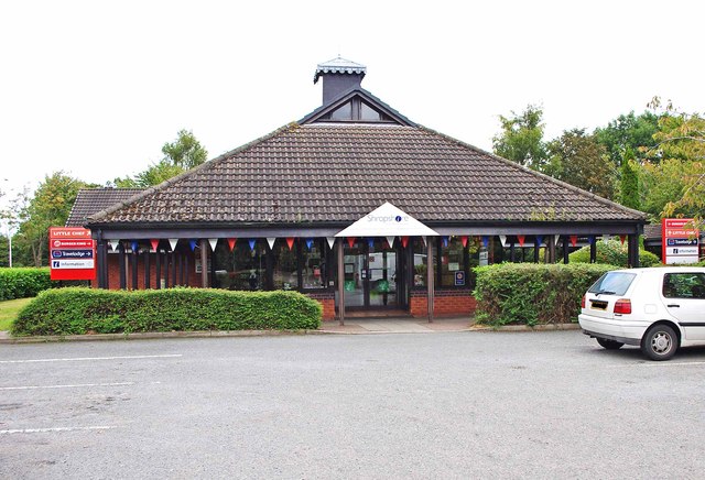
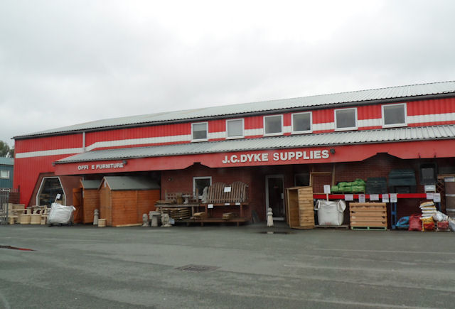
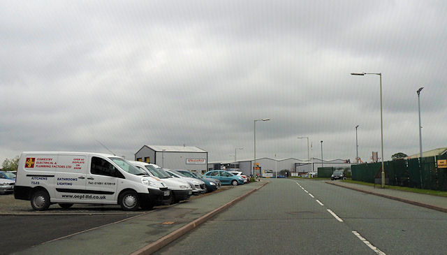
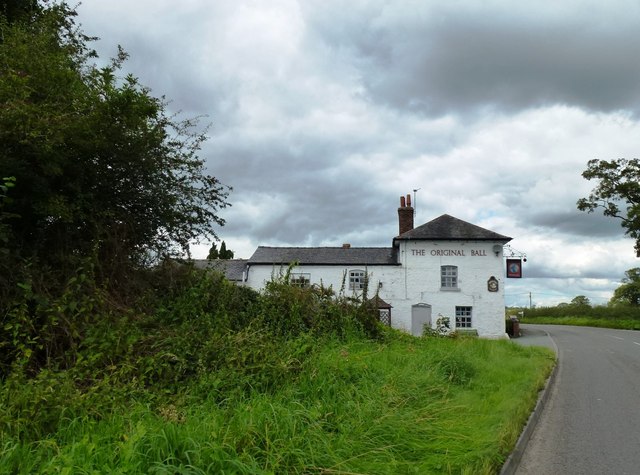
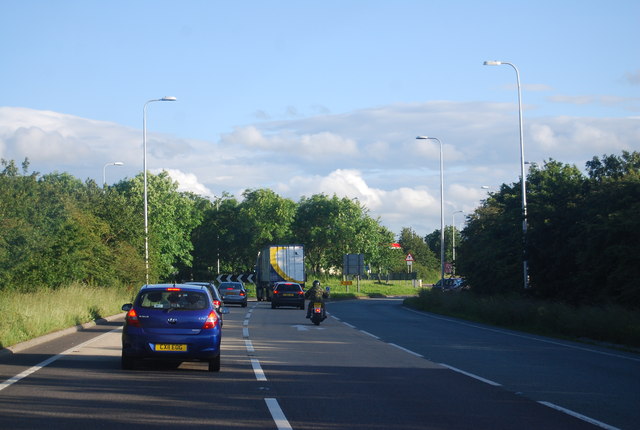
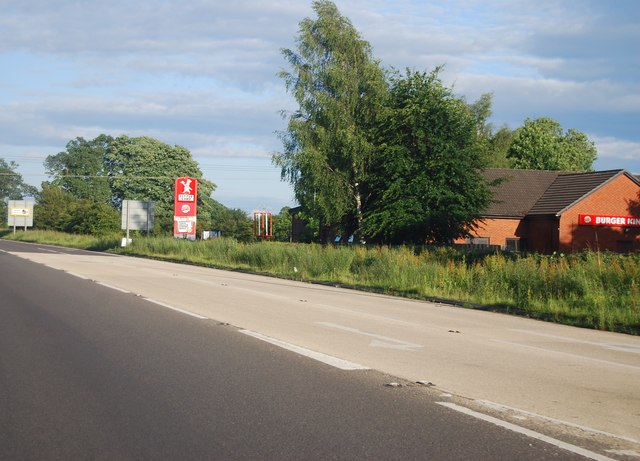
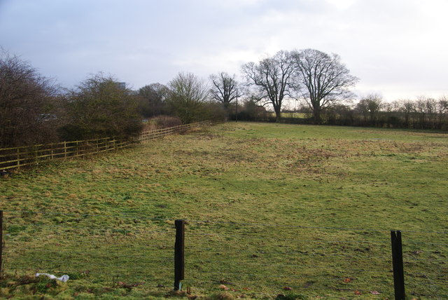
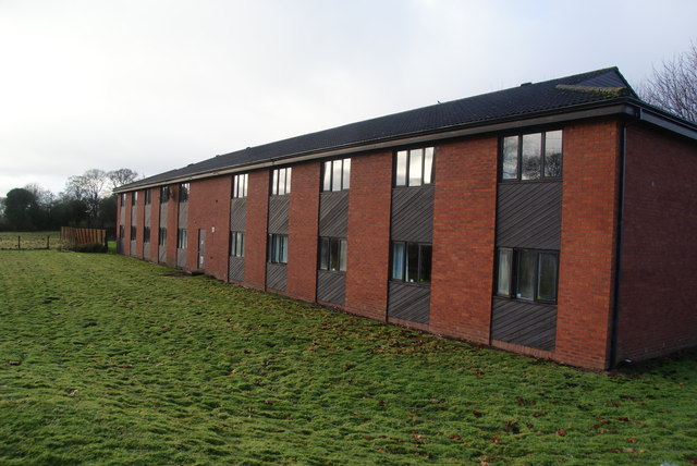
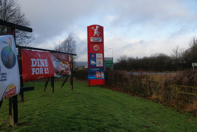
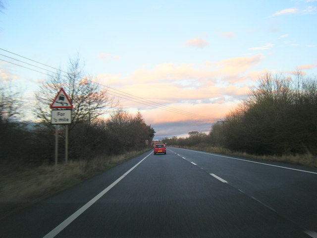
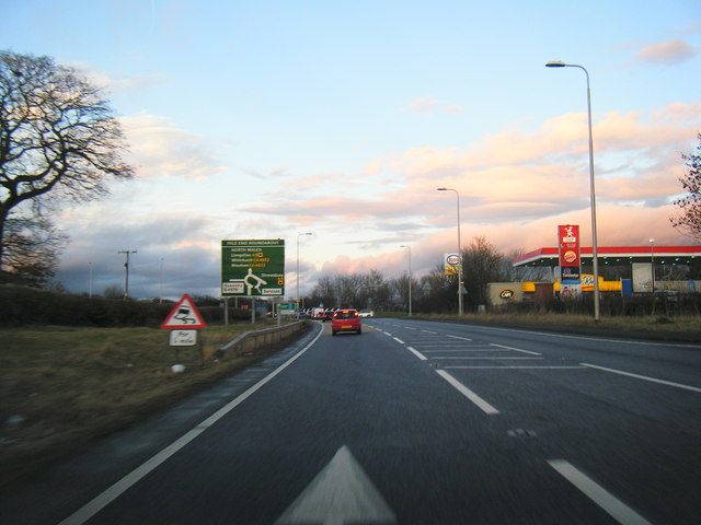
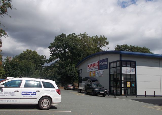
Weston Images

Images are sourced within 2km of 52.841318/-3.0454596 or Grid Reference SJ2927. Thanks to Geograph Open Source API. All images are credited.

The Travelodge, Oswestry Part of the services at the A5 / A483 junction.
The Travelodge, Oswestry
Part of the services at the A5 / A483 junction.
Services at the A5 / A483 junction, Oswestry Here is the Tourist Information office and shop, Burger King, Little Chef and the entrance to the Travelodge motel.
Services at the A5 / A483 junction, Oswestry
Here is the Tourist Information office and shop, Burger King, Little Chef and the entrance to the Travelodge motel.
Mile End Services On the A5 near Oswestry. This is the tourist information building, and there is a Burger King and Little Chef behind, together with a Travelodge.
Mile End Services
On the A5 near Oswestry. This is the tourist information building, and there is a Burger King and Little Chef behind, together with a Travelodge.
The A483 near Oswestry This is very near the beginning of this route off the A5 at Mile End.
The A483 near Oswestry
This is very near the beginning of this route off the A5 at Mile End.
Shropshire Tourist Information Centre at Mile End, near Oswestry This tourist information centre is just outside the town of Oswestry, off the A5 road, near Mile End Roundabout. As well as the centre, there is a Little Chef, a Burger King and a Travelodge hotel on the same site.
Shropshire Tourist Information Centre at Mile End, near Oswestry
This tourist information centre is just outside the town of Oswestry, off the A5 road, near Mile End Roundabout. As well as the centre, there is a Little Chef, a Burger King and a Travelodge hotel on the same site.
LC Dyke Supplies warehouse In Maes-y-Clawydd
LC Dyke Supplies warehouse
In Maes-y-Clawydd
Maes-y-Clawdd northbound
The Original Ball public house
Approaching a roundabout on the A5 The A5 is a major trunk road that runs 260 miles from London to Holyhead. It follows the course of an old Roman Road (Watling Street).
Wikipedia: <span class="nowrap"><a title="http://en.wikipedia.org/wiki/A5_road_(Great_Britain)" rel="nofollow ugc noopener" href="http://en.wikipedia.org/wiki/A5_road_(Great_Britain)">Link</a><img style="margin-left:2px;" alt="External link" title="External link - shift click to open in new window" src="https://s1.geograph.org.uk/img/external.png" width="10" height="10"/></span>
Approaching a roundabout on the A5
The A5 is a major trunk road that runs 260 miles from London to Holyhead. It follows the course of an old Roman Road (Watling Street). Wikipedia: LinkExternal link
A5 passing Mile End Services The A5 is a major trunk road that runs 260 miles from London to Holyhead. It follows the course of an old Roman Road (Watling Street).
Wikipedia: <span class="nowrap"><a title="http://en.wikipedia.org/wiki/A5_road_(Great_Britain)" rel="nofollow ugc noopener" href="http://en.wikipedia.org/wiki/A5_road_(Great_Britain)">Link</a><img style="margin-left:2px;" alt="External link" title="External link - shift click to open in new window" src="https://s1.geograph.org.uk/img/external.png" width="10" height="10"/></span>
A5 passing Mile End Services
The A5 is a major trunk road that runs 260 miles from London to Holyhead. It follows the course of an old Roman Road (Watling Street). Wikipedia: LinkExternal link
Field by the A5 Looking east from the Oswestry Travelodge. The A5 runs behind the hedge to the left and is screened from the motel, at least visibly.
Field by the A5
Looking east from the Oswestry Travelodge. The A5 runs behind the hedge to the left and is screened from the motel, at least visibly.
The Travelodge at Mile End Services Part of the strategic services near Oswestry.
The Travelodge at Mile End Services
Part of the strategic services near Oswestry.
Signs at Mile End Services Showing what is on offer at the services as one approaches Oswestry on the A5.
Signs at Mile End Services
Showing what is on offer at the services as one approaches Oswestry on the A5.
A483 near Mile Oak
A483 near Mile Oak
A483 approaching Mile End Roundabout
Plumbase on Maesbury Road industrial estate
A5 approaches the Mile End Roundabout
B4579 enters Oswestry The 'B' road is also called Shrewsbury Road.
B4579 enters Oswestry
The 'B' road is also called Shrewsbury Road.
Show me another place!

Weston is located at Grid Ref: SJ2927 (Lat: 52.841318, Lng: -3.0454596)

Unitary Authority: Shropshire

Police Authority: West Mercia

What 3 Words

///ambitions.making.yarn. Near Oswestry, Shropshire

Nearby Locations

Weston Pools Weston

Related Wikis

Weston Wharf railway station

Weston Wharf is a railway station on the Cambrian Heritage Railways' line in Shropshire on the former Oswestry and Newtown Railway. It is located just...

Plas Wilmot

Plas Wilmot is a substantial suburban villa near Oswestry in the United Kingdom. The house was originally constructed c.1829 of red brick with slate roof...

Morda Road

Morda Road is a cricket ground in Oswestry, Shropshire. The first recorded match on the ground was in 1964, when Shropshire played their first Minor Counties...

North Shropshire College

North Shropshire College is a further education college in Shropshire, England and is part of Herefordshire, Ludlow and North Shropshire College. It has...

Nearby Amenities

Located within 500m of 52.841318,-3.0454596
Railway: switch
Lat/Long: 52.8408956/-3.0428225
Crossing Barrier: half
Railway: level_crossing
Lat/Long: 52.8392806/-3.0431868
Railway: crossing
Lat/Long: 52.8407187/-3.0428513
Crossing Barrier: half
Railway: level_crossing
Lat/Long: 52.839171/-3.0432184
Crossing
Crossing: unmarked
Crossing Island: no
Crossing Markings: no
Tactile Paving: yes
Lat/Long: 52.8424562/-3.0391675
Give Way
Direction: backward
Lat/Long: 52.8425786/-3.0393234
Barrier: kerb
Kerb: flush
Tactile Paving: yes
Lat/Long: 52.841852/-3.0386661
Barrier: kerb
Kerb: flush
Tactile Paving: yes
Lat/Long: 52.8418382/-3.0385669
Barrier: kerb
Kerb: flush
Tactile Paving: yes
Lat/Long: 52.8414003/-3.0386157
Barrier: kerb
Kerb: flush
Tactile Paving: yes
Lat/Long: 52.8417771/-3.0384559
Barrier: kerb
Kerb: flush
Tactile Paving: yes
Lat/Long: 52.8414056/-3.0387207
Crossing
Crossing: unmarked
Crossing Island: no
Crossing Markings: no
Tactile Paving: yes
Lat/Long: 52.8414384/-3.0387717
Power: pole
Lat/Long: 52.8435212/-3.0506346
Power: pole
Lat/Long: 52.8423759/-3.0508223
Power: pole
Lat/Long: 52.8415172/-3.0514553
Railway: crossing
Lat/Long: 52.8386129/-3.043402
Railway: switch
Lat/Long: 52.8427973/-3.0431132
Railway: switch
Lat/Long: 52.8434332/-3.0433734
Railway: buffer_stop
Lat/Long: 52.8416475/-3.0430055
Railway: switch
Lat/Long: 52.8423396/-3.0430226
Barrier: lift_gate
Motor Vehicle: yes
Lat/Long: 52.8391916/-3.0433717
Barrier: lift_gate
Motor Vehicle: yes
Lat/Long: 52.8392636/-3.0430498
Railway: level_crossing
Lat/Long: 52.8378178/-3.0436241
Weston Wharf
Addr City: Oswestry
Addr Country: GB
Addr Postcode: SY10 9ES
Addr Street: Weston
Fhrs Authority: Shropshire
Fhrs Id: 1454011
Fhrs Local Authority Id: 21/00607/COMM
Railway: station
Usage: tourism
Wikipedia: en:Weston_Wharf_railway_station
Lat/Long: 52.8415842/-3.0428622
Weston
Place: hamlet
Lat/Long: 52.8414477/-3.0444865
Recycling
Oswestry Household Recycling Centre
Addr City: Ose
Addr Housename: Oswestry Household Recycling Centre
Addr Postcode: SY10 8GA
Addr Street: Mile Oak Household Industrial Estate
Owner: Shropshire County Council
Ownership: municipal
Recycling Type: centre
Lat/Long: 52.8419771/-3.0416493
Crossing
Crossing: unmarked
Crossing Island: yes
Crossing Markings: no
Tactile Paving: yes
Lat/Long: 52.8413129/-3.0387878
Barrier: kerb
Kerb: flush
Tactile Paving: yes
Lat/Long: 52.8412388/-3.0388508
Barrier: kerb
Kerb: flush
Tactile Paving: no
Lat/Long: 52.8411237/-3.0386194
Give Way
Lat/Long: 52.8413313/-3.0386682
Barrier: kerb
Kerb: flush
Tactile Paving: no
Lat/Long: 52.8420192/-3.0387717
Crossing
Crossing: unmarked
Crossing Island: no
Crossing Markings: no
Tactile Paving: yes
Lat/Long: 52.8443515/-3.0402016
Give Way
Direction: forward
Lat/Long: 52.8438739/-3.03995
Barrier: kerb
Kerb: lowered
Tactile Paving: no
Lat/Long: 52.8438651/-3.0397372
Barrier: kerb
Kerb: lowered
Tactile Paving: no
Lat/Long: 52.8439431/-3.0397699
Barrier: kerb
Kerb: flush
Tactile Paving: yes
Lat/Long: 52.8424398/-3.039243
Barrier: kerb
Kerb: flush
Tactile Paving: yes
Lat/Long: 52.842469/-3.0391085
Give Way
Direction: backward
Lat/Long: 52.8423091/-3.0391363
Crossing
Crossing: unmarked
Crossing Island: no
Crossing Markings: no
Tactile Paving: yes
Lat/Long: 52.8422925/-3.0391877
Barrier: kerb
Kerb: flush
Tactile Paving: yes
Lat/Long: 52.8418255/-3.0385456
Barrier: kerb
Kerb: flush
Tactile Paving: yes
Lat/Long: 52.8414811/-3.0388313
Give Way
Lat/Long: 52.84191/-3.038622
Barrier: kerb
Kerb: lowered
Lat/Long: 52.8416907/-3.0388172
Barrier: kerb
Kerb: flush
Tactile Paving: yes
Lat/Long: 52.8418578/-3.0385347
Crossing
Crossing: unmarked
Crossing Island: no
Crossing Markings: no
Tactile Paving: yes
Lat/Long: 52.8417968/-3.0384936
Barrier: kerb
Kerb: flush
Tactile Paving: yes
Lat/Long: 52.8419068/-3.0384684
Crossing
Crossing: unmarked
Crossing Island: no
Crossing Markings: no
Tactile Paving: yes
Lat/Long: 52.8418825/-3.0385012
Crossing
Crossing: unmarked
Crossing Markings: no
Tactile Paving: yes
Lat/Long: 52.8419302/-3.0384355
Barrier: kerb
Kerb: flush
Tactile Paving: yes
Lat/Long: 52.8419473/-3.0384211
Barrier: kerb
Kerb: flush
Tactile Paving: yes
Lat/Long: 52.8419706/-3.038408
Barrier: kerb
Kerb: flush
Tactile Paving: yes
Lat/Long: 52.8420277/-3.0383862
Barrier: kerb
Kerb: flush
Tactile Paving: yes
Lat/Long: 52.841422/-3.0387462
Barrier: kerb
Kerb: flush
Tactile Paving: yes
Lat/Long: 52.8413788/-3.0387485
The data included in this document is from www.openstreetmap.org. The data is made available under ODbL.

Have you been to Weston?

Leave your review of Weston below (or comments, questions and feedback).