Braintree
Settlement in Essex Braintree
England
Braintree

Braintree is a town located in the county of Essex, in the eastern part of England. Situated approximately 50 miles northeast of London, it has a population of around 53,000 residents. The town is known for its rich history, dating back to Roman times when it was a significant settlement named "Branocae."
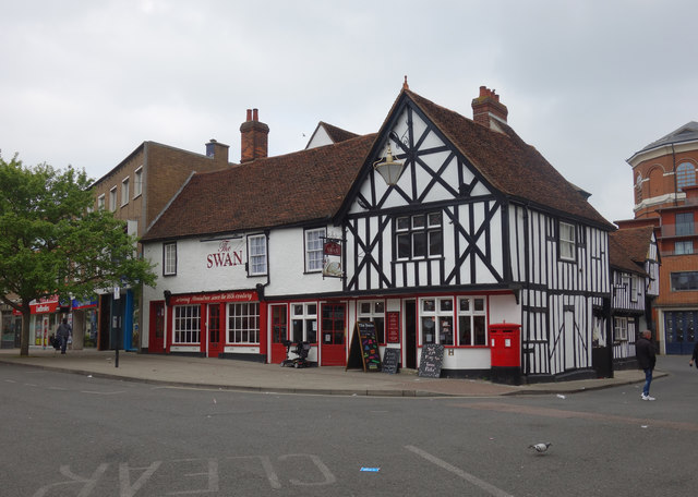
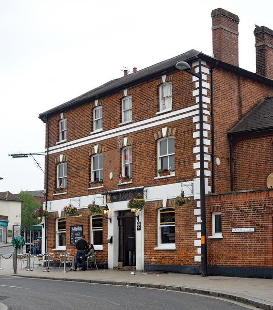
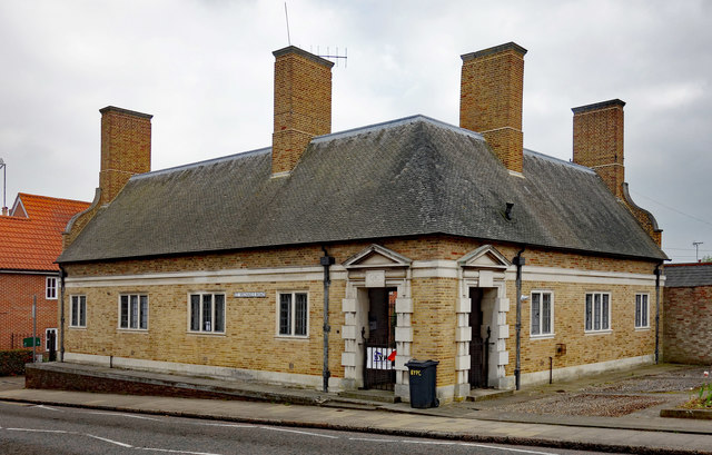
Today, Braintree is a thriving market town with a mix of old and new architecture. The town center features a variety of shops, cafes, and restaurants, providing a vibrant and bustling atmosphere. Braintree also boasts several historical landmarks, including the medieval St. Michael's Church, which dates back to the 13th century, and the George Yard Shopping Centre, a former textile factory that has been converted into a shopping complex.
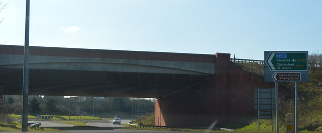
The town is well-connected transportation-wise, with Braintree railway station offering regular services to London Liverpool Street, making it popular among commuters. Additionally, the nearby A120 road provides easy access to other major towns in the region, such as Colchester and Chelmsford.
Braintree is also known for its strong sense of community and holds various events throughout the year, including the Braintree Carnival and the Braintree Arts Theatre Festival. The town is surrounded by picturesque countryside, offering opportunities for outdoor activities such as hiking and cycling.
Overall, Braintree is an attractive town that seamlessly combines its historical heritage with modern amenities, making it an appealing place to live, work, and visit.
If you have any feedback on the listing, please let us know in the comments section below.
Braintree Images
Images are sourced within 2km of 51.878118/0.553146 or Grid Reference TL7523. Thanks to Geograph Open Source API. All images are credited.


Braintree is located at Grid Ref: TL7523 (Lat: 51.878118, Lng: 0.553146)
Administrative County: Essex
District: Braintree
Police Authority: Essex
What 3 Words
///gloves.zips.rents. Near Braintree, Essex
Related Wikis
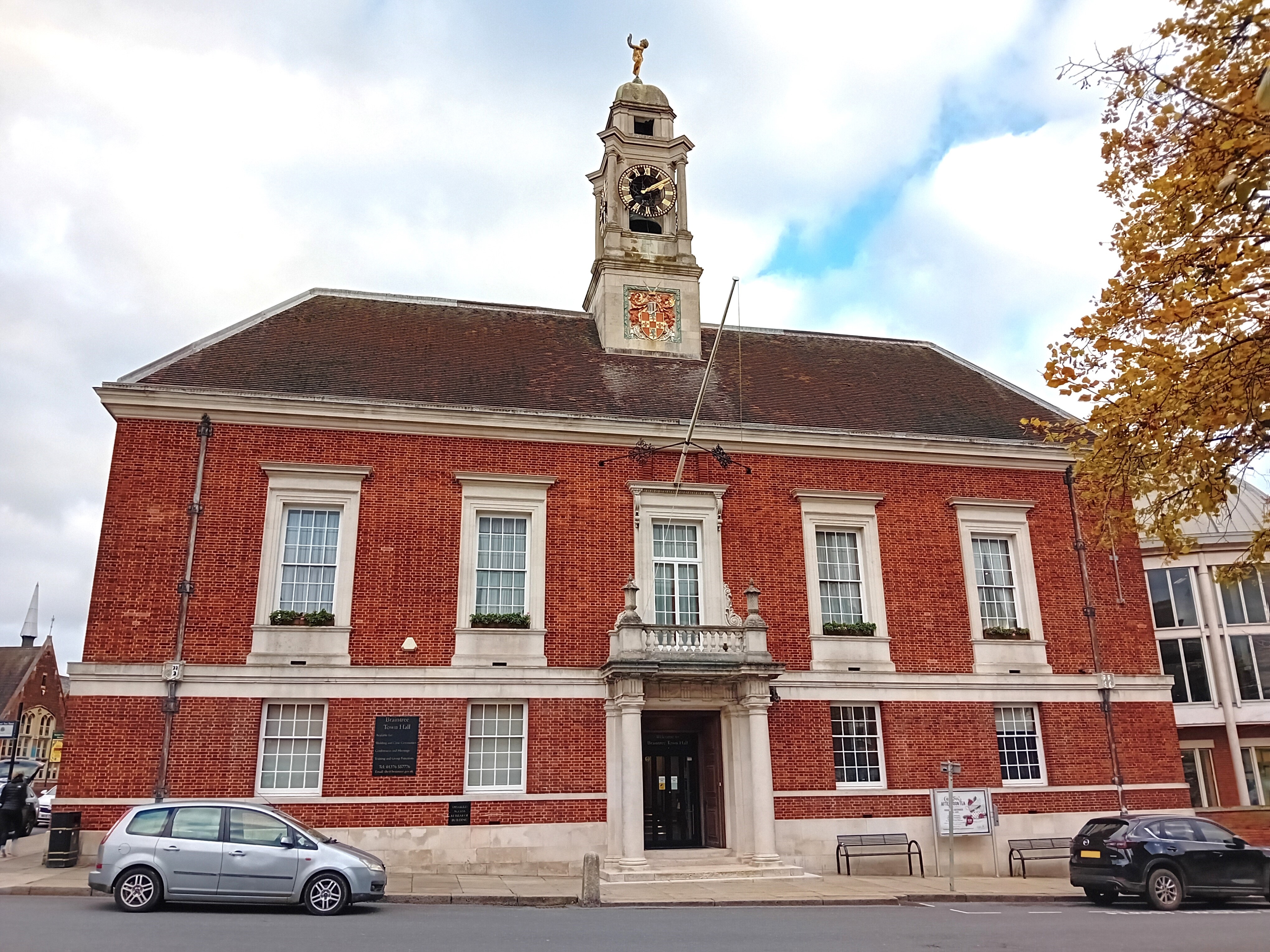
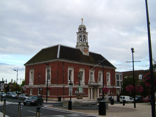
Braintree Town Hall
Braintree Town Hall is a municipal facility in the Market Square in Braintree, Essex, England. The town hall, which was the headquarters of Braintree and...
Braintree and Bocking
Braintree and Bocking was an urban district in Essex, England. It was created in 1934 as a merger of the old urban district of Braintree with the neighbouring...
Braintree, Essex
Braintree is a town in Essex, England. The principal settlement of Braintree District, it is located 10 miles (16 km) northeast of Chelmsford, 35 miles...
Warner Textile Archive
The Warner Textile Archive is a UK-based collection of textiles, designs and paper records operated by Braintree District Museum Trust. It opened in 1993...
Nearby Amenities
Located within 500m of 51.878118,0.553146Have you been to Braintree?
Leave your review of Braintree below (or comments, questions and feedback).