Westhorpe

Settlement in Lincolnshire South Holland

England

Westhorpe

Cressy Hall and Moated site near Gosberton: aerial 2021 See: <span class="nowrap"><a title="https://www.heritagegateway.org.uk/Gateway/Results_Single.aspx?uid=MLI86313&resourceID=1006" rel="nofollow ugc noopener" href="https://www.heritagegateway.org.uk/Gateway/Results_Single.aspx?uid=MLI86313&resourceID=1006">Link</a><img style="margin-left:2px;" alt="External link" title="External link - shift click to open in new window" src="https://s1.geograph.org.uk/img/external.png" width="10" height="10"/></span>
Cressy Hall and Moated site near Gosberton: aerial 2021 Credit: Simon Tomson

Westhorpe is a small village located in the county of Lincolnshire, England. Situated approximately 8 miles south of the market town of Boston, it falls within the East Lindsey district. The village is surrounded by picturesque countryside and offers a tranquil setting for its residents.

With a population of around 200 people, Westhorpe has a close-knit community that thrives on its rural charm. The village is characterized by its traditional stone cottages and well-maintained gardens, which add to its overall aesthetic appeal. The local parish church, St. Margaret's, stands as a prominent landmark and holds great historical significance.

Amenities in Westhorpe are limited but cater to the basic needs of its residents. The village has a primary school that provides education for the local children, ensuring convenience for families. For further amenities, residents typically rely on nearby towns such as Boston for shopping, healthcare, and recreational facilities.

The village enjoys a peaceful ambiance, making it an ideal destination for those seeking a quiet lifestyle away from the hustle and bustle of city living. Its proximity to nature allows residents to explore the surrounding countryside, providing opportunities for outdoor activities such as walking, cycling, and birdwatching.

Overall, Westhorpe offers a serene and idyllic living environment with its rural charm, close community ties, and beautiful surroundings. It provides an escape from urban life while still offering access to essential amenities within a short distance.

If you have any feedback on the listing, please let us know in the comments section below.
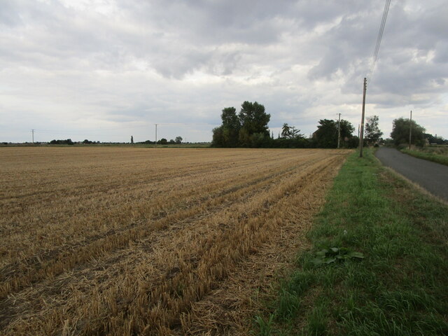
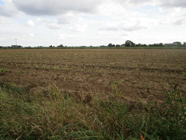
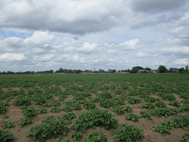
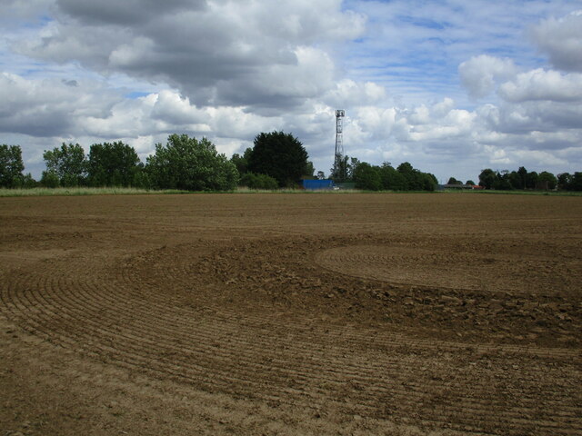
Westhorpe Images

Images are sourced within 2km of 52.863663/-0.185476 or Grid Reference TF2231. Thanks to Geograph Open Source API. All images are credited.

Cressy Hall and Moated site near Gosberton: aerial 2021 See: <span class="nowrap"><a title="https://www.heritagegateway.org.uk/Gateway/Results_Single.aspx?uid=MLI86313&resourceID=1006" rel="nofollow ugc noopener" href="https://www.heritagegateway.org.uk/Gateway/Results_Single.aspx?uid=MLI86313&resourceID=1006">Link</a><img style="margin-left:2px;" alt="External link" title="External link - shift click to open in new window" src="https://s1.geograph.org.uk/img/external.png" width="10" height="10"/></span>
Cressy Hall and Moated site near Gosberton: aerial 2021
See: LinkExternal link
Cabbages near Risegate
Stubble field adjacent to Westhorpe Road
Potato field, Gravecoat Lane The tops have been cut ready for the potatoes to be harvested.
Potato field, Gravecoat Lane
The tops have been cut ready for the potatoes to be harvested.
Quadring Road, Gosberton Looking towards Quadring.
Quadring Road, Gosberton
Looking towards Quadring.
Wargate Way, Gosberton The house on the corner dates from the eighteenth century <span class="nowrap"><a title="https://historicengland.org.uk/listing/the-list/list-entry/1064423?section=official-list-entry" rel="nofollow ugc noopener" href="https://historicengland.org.uk/listing/the-list/list-entry/1064423?section=official-list-entry">Link</a><img style="margin-left:2px;" alt="External link" title="External link - shift click to open in new window" src="https://s1.geograph.org.uk/img/external.png" width="10" height="10"/></span> as does that adjacent to it <span class="nowrap"><a title="https://historicengland.org.uk/listing/the-list/list-entry/1064424?section=official-list-entry" rel="nofollow ugc noopener" href="https://historicengland.org.uk/listing/the-list/list-entry/1064424?section=official-list-entry">Link</a><img style="margin-left:2px;" alt="External link" title="External link - shift click to open in new window" src="https://s1.geograph.org.uk/img/external.png" width="10" height="10"/></span>
Wargate Way, Gosberton
The house on the corner dates from the eighteenth century LinkExternal link as does that adjacent to it LinkExternal link
Gosberton Community Hall
Potato field off Cawood Lane
Risegate Eau at Cressy Bridge Risegate Eau is completely blocked with vegetation.
Risegate Eau at Cressy Bridge
Risegate Eau is completely blocked with vegetation.
Gosberton Methodist Church
Co-op Food Store, Gosberton A former chapel.
Co-op Food Store, Gosberton
A former chapel.
The Bell Inn, Gosberton Dates from the early nineteenth century <span class="nowrap"><a title="https://historicengland.org.uk/listing/the-list/list-entry/1146579?section=official-list-entry" rel="nofollow ugc noopener" href="https://historicengland.org.uk/listing/the-list/list-entry/1146579?section=official-list-entry">Link</a><img style="margin-left:2px;" alt="External link" title="External link - shift click to open in new window" src="https://s1.geograph.org.uk/img/external.png" width="10" height="10"/></span>
The Bell Inn, Gosberton
Dates from the early nineteenth century LinkExternal link
Former shop, Gosberton
Church of St. Peter and St. Paul, Gosberton The spire dates from the fourteenth century <span class="nowrap"><a title="https://historicengland.org.uk/listing/the-list/list-entry/1064425?section=official-list-entry" rel="nofollow ugc noopener" href="https://historicengland.org.uk/listing/the-list/list-entry/1064425?section=official-list-entry">Link</a><img style="margin-left:2px;" alt="External link" title="External link - shift click to open in new window" src="https://s1.geograph.org.uk/img/external.png" width="10" height="10"/></span>
Church of St. Peter and St. Paul, Gosberton
The spire dates from the fourteenth century LinkExternal link
The Manor House, Gosberton
Houses on Bow Gate, Gosberton
Prepared field and communications mast near Quadring
Potato field, North Gate, Gosberton
Show me another place!

Westhorpe is located at Grid Ref: TF2231 (Lat: 52.863663, Lng: -0.185476)

Division: Parts of Holland

Administrative County: Lincolnshire

District: South Holland

Police Authority: Lincolnshire

What 3 Words

///glaze.carting.washable. Near Gosberton, Lincolnshire

Nearby Locations

Westhorpe Westhorpe Pit

Related Wikis

Westhorpe, Lincolnshire

Westhorpe is a hamlet in the civil parish of Gosberton and the South Holland district of Lincolnshire, England. It is 30 miles (50 km) south-east from...

Gosberton railway station

Gosberton railway station was a station in Gosberton, Lincolnshire. It was opened in 1882 and closed for passengers on 11 September 1961 and freight on...

Risegate

Risegate is a village in the civil parish of Gosberton and the South Holland district of Lincolnshire, England. It is 30 miles (50 km) south-east from...

A152 road

The A152 is a small non-primary A-road in Lincolnshire, from Donington to Surfleet linking the A52 and the A16, two major primary routes. Between Donington...

Nearby Amenities

Located within 500m of 52.863663,-0.185476
Bus Stop
Windmill Lane
Naptan AtcoCode: 270002700664
Naptan Bearing: W
Naptan CommonName: Windmill Lane
Naptan Indicator: adj
Naptan Landmark: Windmill Lane
Naptan Street: Westhorpe Road
Naptan Verified: no
Source: naptan_import
Lat/Long: 52.8642204/-0.1903146
Bus Stop
Windmill Lane
Naptan AtcoCode: 2700LW001468
Naptan Bearing: E
Naptan CommonName: Windmill Lane
Naptan Indicator: opp
Naptan Landmark: Windmill Lane
Naptan NaptanCode: linajwmd
Naptan Street: Westhorpe Road
Naptan Verified: no
Source: naptan_import
Lat/Long: 52.8643174/-0.1901917
Bridge Farm
Place: farm
Source: Bing
Lat/Long: 52.8634132/-0.1923272
Sandpit Farm
Place: farm
Source: Bing
Lat/Long: 52.8638811/-0.1881872
Westhorpe
Place: hamlet
Source: Bing
Lat/Long: 52.864361/-0.1887342
Yew Tree Farm
Place: farm
Source: Bing
Lat/Long: 52.864155/-0.192554
Ashtree Farm
Place: farm
Lat/Long: 52.8600272/-0.1890769
The data included in this document is from www.openstreetmap.org. The data is made available under ODbL.

Have you been to Westhorpe?

Leave your review of Westhorpe below (or comments, questions and feedback).