Westgate Hill
Settlement in Yorkshire
England
Westgate Hill
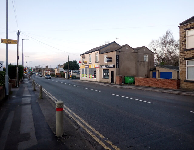
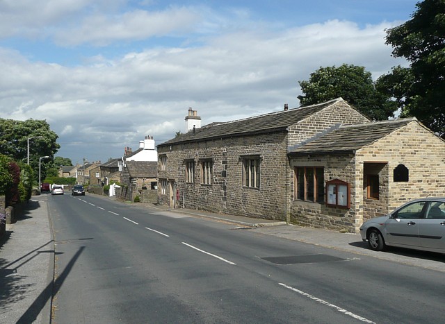
Westgate Hill is a picturesque village located in the West Riding of Yorkshire, England. Situated in the district of Kirklees, it is nestled in the scenic Pennine hills, offering breathtaking views of the surrounding countryside. With a population of around 500 residents, this quaint village exudes a strong sense of community and tranquility.
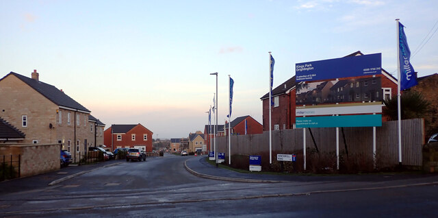
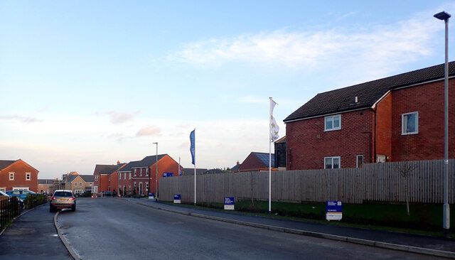
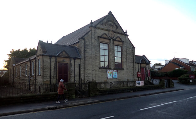
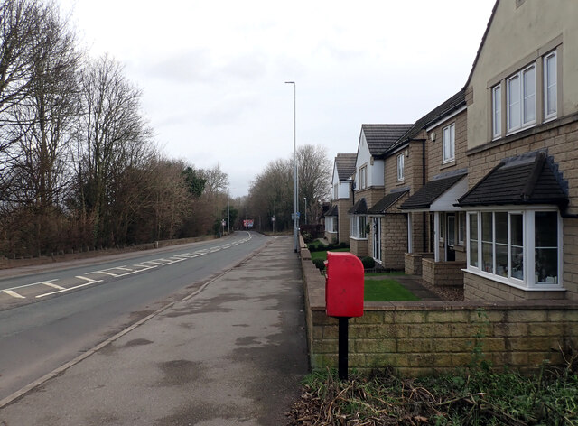
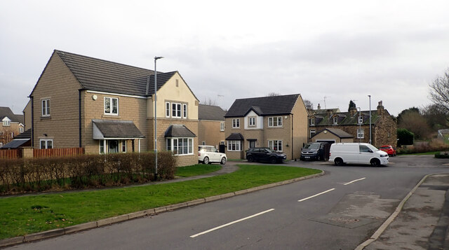
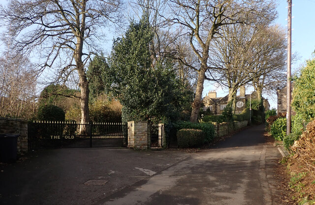
The village is characterized by its charming stone houses, many of which date back to the 18th and 19th centuries, giving it a timeless appeal. The streets are lined with well-maintained gardens, adding to the overall beauty of the area. Westgate Hill is known for its well-preserved historic architecture, with a number of listed buildings that showcase the village's rich heritage.
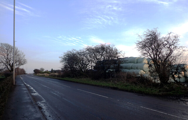
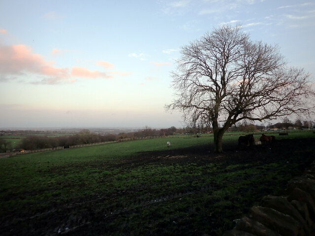
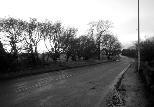
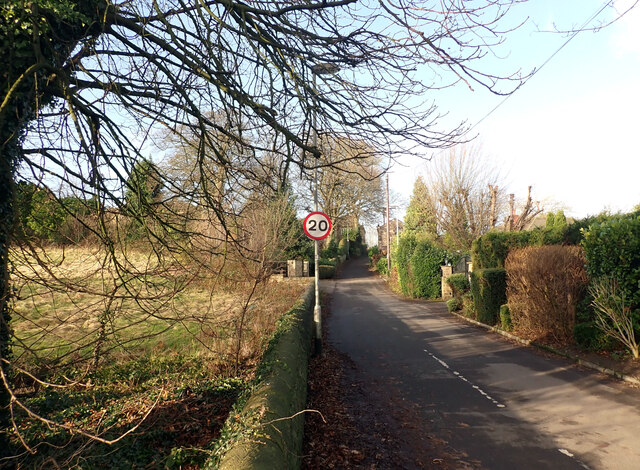
Surrounded by lush green fields and rolling hills, Westgate Hill offers ample opportunities for outdoor activities such as hiking, cycling, and horseback riding. The nearby Pennine Way, a popular long-distance footpath, attracts nature enthusiasts and hikers from far and wide. The village is also home to a small but thriving farming community, with sheep and cattle grazing in the surrounding fields.
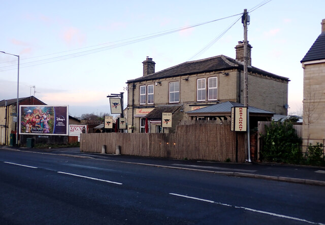
Despite its peaceful atmosphere, Westgate Hill is not far from amenities. The nearby town of Huddersfield provides residents with access to a range of shops, supermarkets, and services. Additionally, the village is well-connected to major transportation routes, making it convenient for commuting to nearby towns and cities.
Overall, Westgate Hill offers a peaceful retreat in the heart of the Yorkshire countryside, combining natural beauty with a strong sense of community. It is a place where residents can enjoy a slower pace of life while being surrounded by stunning landscapes.
If you have any feedback on the listing, please let us know in the comments section below.
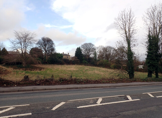
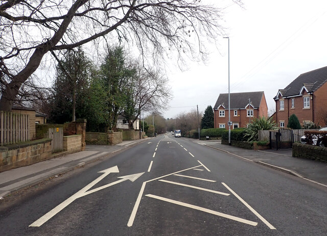
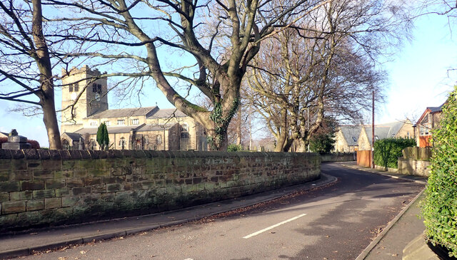
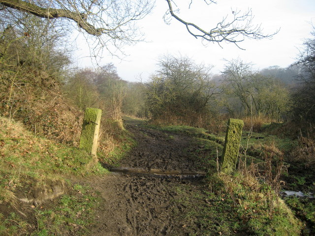
Westgate Hill Images
Images are sourced within 2km of 53.760912/-1.6854304 or Grid Reference SE2029. Thanks to Geograph Open Source API. All images are credited.


Westgate Hill is located at Grid Ref: SE2029 (Lat: 53.760912, Lng: -1.6854304)
Division: West Riding
Unitary Authority: Bradford
Police Authority: West Yorkshire
What 3 Words
///grin.overnight.look. Near Drighlington, West Yorkshire
Nearby Locations
Related Wikis

Birkenshaw and Tong railway station
Birkenshaw and Tong railway station served the village of Birkenshaw, West Yorkshire, England from 1856 to 1964 on the Leeds, Bradford and Halifax Junction...
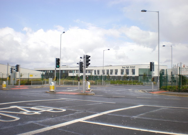
Tong Leadership Academy
Tong Leadership Academy (formerly Tong High School) is a co-educational secondary school and sixth form located in the Tong area of Bradford in West Yorkshire...
Cockersdale
Cockersdale is a location near Tong, south-west of Leeds, West Yorkshire, England. The Leeds Country Way follows the valley known as Cockers Dale, along...
Tong, West Yorkshire
Tong or Tong Village is a village and former civil parish in the City of Bradford metropolitan district, West Yorkshire, England. It is a historic village...
Nearby Amenities
Located within 500m of 53.760912,-1.6854304Have you been to Westgate Hill?
Leave your review of Westgate Hill below (or comments, questions and feedback).