Westerham
Settlement in Kent Sevenoaks
England
Westerham
Westerham is a charming town located in the county of Kent, in southeastern England. Situated on the slopes of the North Downs, it is surrounded by picturesque countryside and boasts a rich historical heritage.
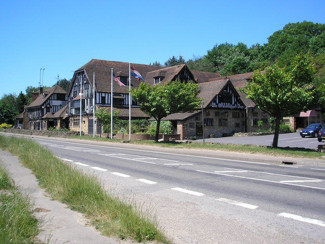
The town is known for its quaint and idyllic atmosphere, with its traditional architecture and well-preserved buildings. It is home to a population of approximately 5,000 residents, making it a close-knit community. The high street is lined with a variety of independent shops, boutiques, and cafes, offering a range of goods and services.
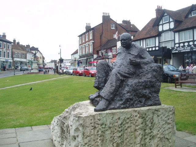
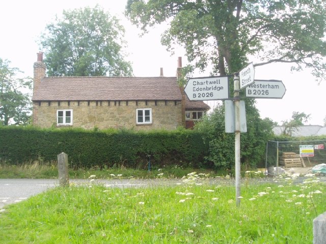
Westerham is celebrated for its historical significance, being the birthplace of Sir Winston Churchill, the renowned British statesman and Prime Minister. Visitors can explore Chartwell, Churchill's former residence, which is now a museum and National Trust property. The house and its extensive gardens offer a fascinating insight into the life and times of this influential figure.
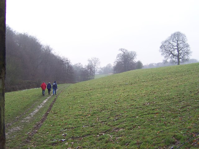
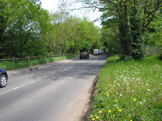
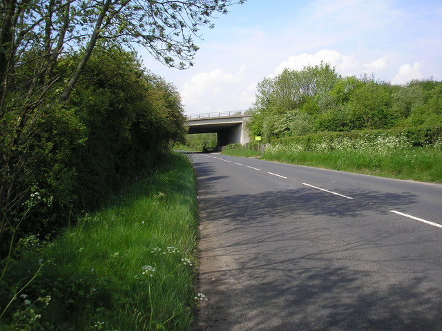
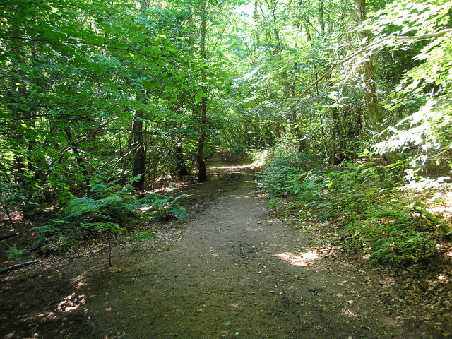
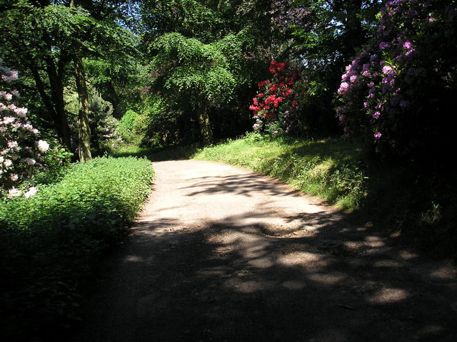
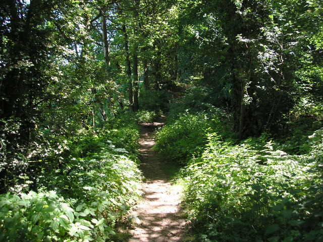
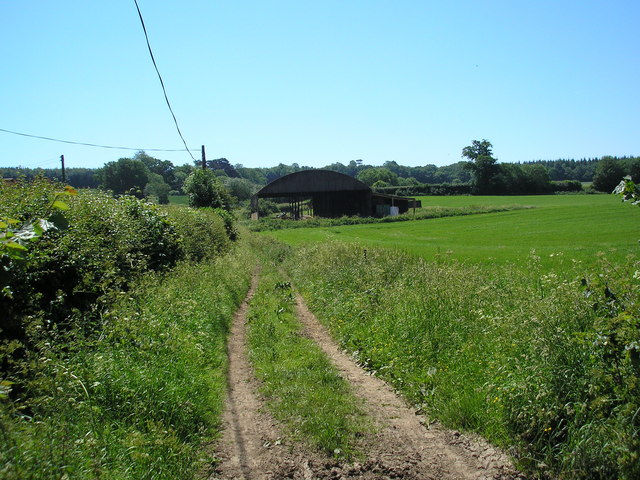
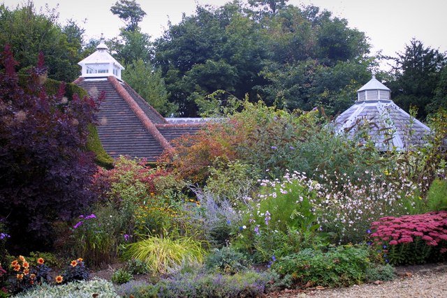
Nature enthusiasts are drawn to Westerham due to its proximity to the North Downs, an area of outstanding natural beauty. The town provides excellent access to walking trails and scenic routes, allowing visitors to enjoy the stunning landscapes and panoramic views. Nearby attractions include the Emmetts Garden, a delightful hillside garden managed by the National Trust, and Quebec House, the childhood home of General James Wolfe.
In summary, Westerham is a delightful town that seamlessly blends history, nature, and community spirit. Its beautiful surroundings, rich heritage, and welcoming atmosphere make it a charming destination for visitors and a wonderful place to call home.
If you have any feedback on the listing, please let us know in the comments section below.
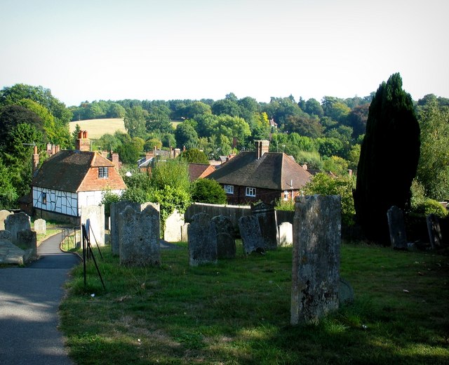
Westerham Images
Images are sourced within 2km of 51.267052/0.071796865 or Grid Reference TQ4454. Thanks to Geograph Open Source API. All images are credited.

Westerham is located at Grid Ref: TQ4454 (Lat: 51.267052, Lng: 0.071796865)
Administrative County: Kent
District: Sevenoaks
Police Authority: Kent
What 3 Words
///gently.taken.cave. Near Westerham, Kent
Nearby Locations
Related Wikis

Quebec House
Quebec House is the birthplace of General James Wolfe on what is now known as Quebec Square in Westerham, Kent, England. The house is listed Grade I on...
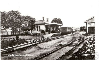
Westerham railway station
Westerham railway station served the village of Westerham in Kent from 1881 until its closure in 1961. == History == No railway was ever constructed all...

Westerham
Westerham is a town and civil parish in the Sevenoaks District of Kent, England. It is located 3.4 miles east of Oxted and 6 miles west of Sevenoaks, adjacent...

Squerryes Estate
Squerryes Estate is a vineyard, estate, and location of Squerryes Court, a grade I listed building in Kent, England. It is a producer of English sparkling...

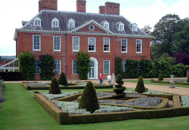
Squerryes Court
Squerryes Court is a late 17th-century manor house that stands just outside the town of Westerham in Kent. The house, which has been held by the same family...

Westerham Wood
Westerham Wood is a 43.2 hectares (107 acres) biological Site of Special Scientific Interest north of Westerham in Kent.This ancient oak wood on Gault...

Westerham Mines
Westerham Mines is a 25.4-hectare (63-acre) biological Site of Special Scientific Interest south of Westerham in Kent.The main interest of this site lies...

Pilgrims' Way
The Pilgrims' Way (also Pilgrim's Way or Pilgrims Way) is the historical route supposedly taken by pilgrims from Winchester in Hampshire, England, to the...
Nearby Amenities
Located within 500m of 51.267052,0.071796865Have you been to Westerham?
Leave your review of Westerham below (or comments, questions and feedback).