Braich-talog

Settlement in Caernarfonshire

Wales

Braich-talog

Cen llwyd / Grey lichen
Cen llwyd / Grey lichen Credit: Ceri Thomas

Braich-talog is a small village located in the county of Caernarfonshire, in northwestern Wales. Situated in the picturesque countryside, the village is surrounded by rolling hills and lush green fields, offering a tranquil and idyllic setting.

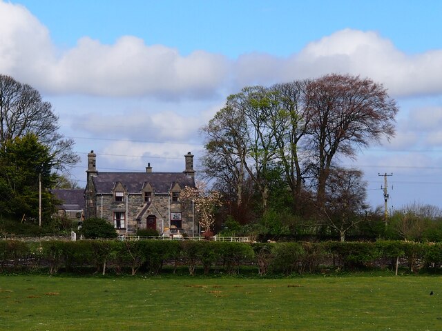
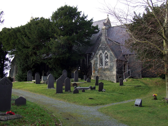
The village is home to a tight-knit community, with a population of around 200 residents. Braich-talog has a rich history that dates back centuries, and this can be seen in its charming architecture, including traditional stone cottages and a historic church. The village has managed to maintain its traditional character, providing visitors with a glimpse into rural Welsh life.

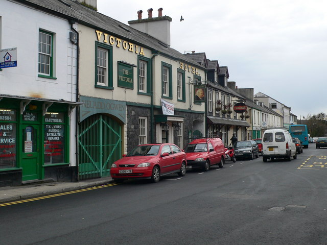
Despite its small size, Braich-talog offers some amenities for its residents and visitors. There is a local pub, serving traditional Welsh food and providing a friendly atmosphere for locals and tourists alike. Additionally, there is a village hall that hosts community events and gatherings throughout the year.

Surrounded by natural beauty, Braich-talog is a haven for outdoor enthusiasts. There are several walking and hiking trails that allow visitors to explore the stunning countryside and enjoy breathtaking views of the nearby Snowdonia National Park. The village is also close to the coast, offering easy access to beautiful beaches and water activities.

Overall, Braich-talog is a charming and peaceful village that offers a tranquil escape from the hustle and bustle of city life. With its rich history, beautiful surroundings, and friendly community, it is a hidden gem in the heart of Caernarfonshire.

If you have any feedback on the listing, please let us know in the comments section below.
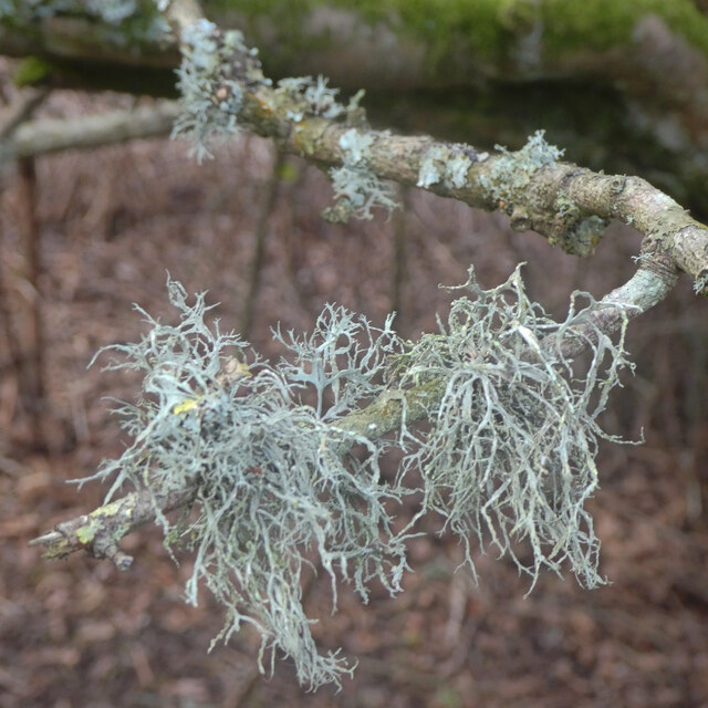
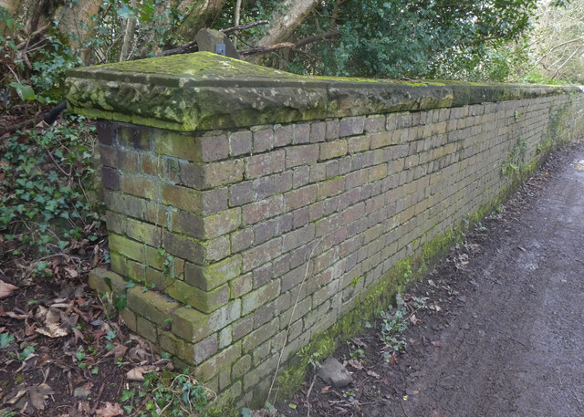
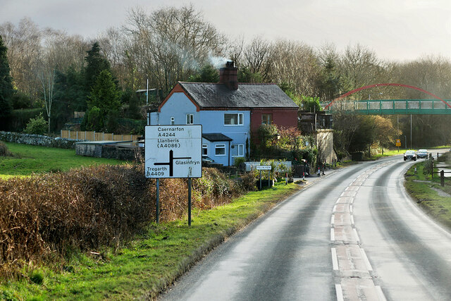
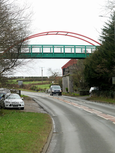
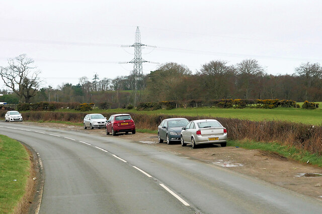
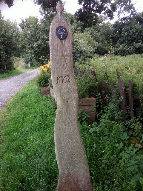
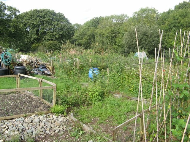
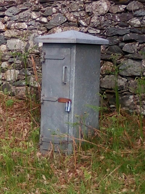
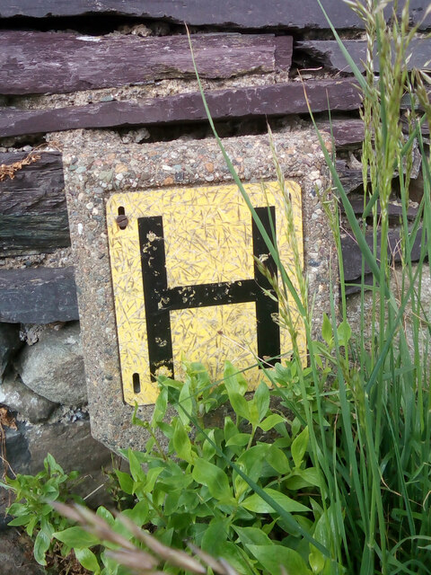
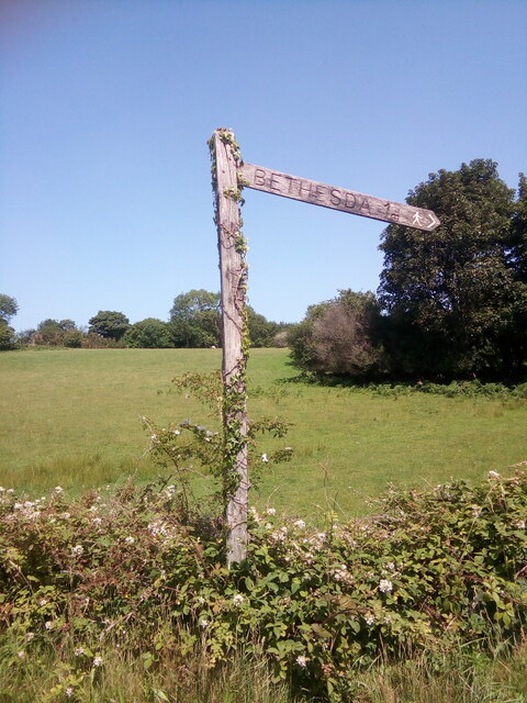
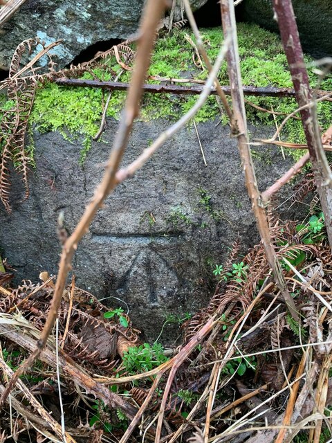
Braich-talog Images

Images are sourced within 2km of 53.188205/-4.08469 or Grid Reference SH6067. Thanks to Geograph Open Source API. All images are credited.

Cen llwyd / Grey lichen
Pont dros Lon Las Ogwen / Bridge over Lon Las Ogwen
Coedlan ger Pant-y-Cyff / Woodland near Pant-y-Cyff (1)
Hydrant sign on telephone pole, Tregarth
A4244, Felin Hen Road The A4244 is a relatively short (6½ miles) rural A-road in north Caernarfonshire. It connects the A5/A55 (near the Llys-y-gwynt junction) with the A4086 at Brynrefail, just outside Llanberis.
A4244, Felin Hen Road
The A4244 is a relatively short (6½ miles) rural A-road in north Caernarfonshire. It connects the A5/A55 (near the Llys-y-gwynt junction) with the A4086 at Brynrefail, just outside Llanberis.
Footbridge over Felin Hen Road The A4244 is a relatively short (6½ miles) rural A-road in north Caernarfonshire. It connects the A5/A55 (near the Llys-y-gwynt junction) with the A4086 at Brynrefail, just outside Llanberis.
Footbridge over Felin Hen Road
The A4244 is a relatively short (6½ miles) rural A-road in north Caernarfonshire. It connects the A5/A55 (near the Llys-y-gwynt junction) with the A4086 at Brynrefail, just outside Llanberis.
Layby on the A4244 near to  Glasinfryn The A4244 is a relatively short (6½ miles) rural A-road in north Caernarfonshire. It connects the A5/A55 (near the Llys-y-gwynt junction) with the A4086 at Brynrefail, just outside Llanberis.
Layby on the A4244 near to Glasinfryn
The A4244 is a relatively short (6½ miles) rural A-road in north Caernarfonshire. It connects the A5/A55 (near the Llys-y-gwynt junction) with the A4086 at Brynrefail, just outside Llanberis.
Moelyci heritage trail waymark No. 1, Tregarth
Fferm Lon Isaf
Fferm Lon Isaf
Tregarth community allotments Allotment gardens at Moelyci, where rabbits and stony soil are obvious problems.
Tregarth community allotments
Allotment gardens at Moelyci, where rabbits and stony soil are obvious problems.
Electrical cabinet on Bangor Road, Bethesda
Hydrant sign on Cefnfaes Road, Bethesda
Sluice valve marker at the junction of Station Road and Bangor Road, Bethesda
Damaged sluice valve marker on Bangor Road, Bethesda
Sluice valve marker on Bangor Road, Bethesda
Wooden fingerpost, Sling
Benchmark on Llwyn Bleddyn Road, Rachub For more details see: <span class="nowrap"><a title="https://www.bench-marks.org.uk/bm29697" rel="nofollow ugc noopener" href="https://www.bench-marks.org.uk/bm29697">Link</a><img style="margin-left:2px;" alt="External link" title="External link - shift click to open in new window" src="https://s1.geograph.org.uk/img/external.png" width="10" height="10"/></span>
Benchmark on Llwyn Bleddyn Road, Rachub
For more details see: LinkExternal link
Dŵr Cymru / Welsh Water sign on Britannia Street, Rachub
Show me another place!

Braich-talog is located at Grid Ref: SH6067 (Lat: 53.188205, Lng: -4.08469)

Unitary Authority: Gwynedd

Police Authority: North Wales

What 3 Words

///swerving.subway.paintings. Near Tregarth, Gwynedd

Related Wikis

Tregarth

Tregarth is a village near Thomas Telford's A5 London to Holyhead road between the town of Bethesda and the city of Bangor in Gwynedd, north Wales. It...

Tregarth railway station

Tregarth railway station is a disused railway station in Gwynedd, Wales. It was located on the Bethesda Branch line, just north of the village of Tregarth...

Bethesda railway station

Bethesda railway station was a station in Bethesda, Gwynedd, Wales. == History == The station was opened by the London and North Western Railway on 1 July...

Ogwen (electoral ward)

Ogwen is the name of an electoral ward covering part of the village and community of Bethesda in Gwynedd, Wales. It elects councillors to the community...

Ysgol Dyffryn Ogwen

Ysgol Dyffryn Ogwen ("Ogwen Valley School") is a bilingual secondary school for pupils aged 11 to 19 years. It is situated in Bethesda in the Ogwen valley...

Felin Fawr Slate Works

Felin Fawr Works is a former slate works to Penrhyn Quarry Railway in Bethesda, Wales. It dates back to 1803; This is when the first mill was supposedly...

Rachub

Rachub (Welsh: ['raχɪb]) is a village of about 900 people in Dyffryn Ogwen (the Ogwen Valley), Gwynedd, Wales, about three-quarters of an mile (1.2 km...

Pantdreiniog quarry

The Pantdreiniog quarry (also known as the Pant Dreiniog quarry) was a slate quarry within the town of Bethesda in North Wales. It was worked between about...

Nearby Amenities

Located within 500m of 53.188205,-4.08469
Traffic Calming: hump
Lat/Long: 53.1902402/-4.0864644
Traffic Calming: hump
Lat/Long: 53.190337/-4.0851179
Traffic Calming: hump
Lat/Long: 53.1899483/-4.0831104
Traffic Calming: hump
Lat/Long: 53.1872142/-4.0811892
Traffic Calming: hump
Lat/Long: 53.1866061/-4.0806378
Tregarth
Place: village
Wikidata: Q3398942
Wikipedia: en:Tregarth
Lat/Long: 53.1902945/-4.0904847
Barrier: kissing_gate
Lat/Long: 53.1866004/-4.0898239
Bus Stop
Bus: yes
Public Transport: platform
Lat/Long: 53.1896255/-4.0828713
Barrier: stile
Foot: yes
Material: stone
Stile: stepover
Lat/Long: 53.1891634/-4.0813225
Bus Stop
Bus: yes
Public Transport: platform
Lat/Long: 53.1903087/-4.0854257
Post Box
Operator: Royal Mail
Operator Wikidata: Q638098
Post Box Type: lamp
Ref: LL57 88
Lat/Long: 53.1896866/-4.0905452
Pub
Pant yr Ardd
Wikidata: Q80583245
Lat/Long: 53.1895226/-4.0906084
Bus Stop
Bench: no
Bus: yes
Public Transport: platform
Shelter: no
Lat/Long: 53.1897332/-4.0912883
Post Box
Operator: Royal Mail
Operator Wikidata: Q638098
Post Box Type: lamp
Ref: LL57 122
Lat/Long: 53.1902653/-4.0834979
Recycling
Recycling Cans: yes
Recycling Glass: yes
Recycling Paper: yes
Recycling Plastic: yes
Lat/Long: 53.1898641/-4.0907246
Post Box
Ref: LL57 297
Lat/Long: 53.1855187/-4.0799393
Barrier: kissing_gate
Lat/Long: 53.1850331/-4.0889862
Barrier: kissing_gate
Lat/Long: 53.1850153/-4.0892075
Barrier: kissing_gate
Lat/Long: 53.1879202/-4.0874125
Barrier: kissing_gate
Lat/Long: 53.1853596/-4.0866167
Lon Las Ogwen
Board Type: history
Information: board
Tourism: information
Lat/Long: 53.1891198/-4.0805301
Post Box
Collection Times: Mo-Fr 11:00; Sa 10:00
Drive Through: no
Post Box Type: wall
Royal Cypher: GR
Royal Cypher Wikidata: Q33102273
Lat/Long: 53.1885412/-4.0786459
Direction: S
Generator Method: photovoltaic
Generator Output Electricity: yes
Generator Solar Modules: 4
Generator Source: solar
Generator Type: solar_photovoltaic_panel
Location: roof
Power: generator
Lat/Long: 53.1901005/-4.0862858
Direction: S
Generator Method: photovoltaic
Generator Output Electricity: yes
Generator Solar Modules: 7
Generator Source: solar
Generator Type: solar_photovoltaic_panel
Location: roof
Power: generator
Lat/Long: 53.1900841/-4.0863575
Direction: 75
Generator Method: photovoltaic
Generator Output Electricity: yes
Generator Solar Modules: 8
Generator Source: solar
Generator Type: solar_photovoltaic_panel
Location: roof
Power: generator
Lat/Long: 53.1898812/-4.0878971
Direction: 255
Generator Method: photovoltaic
Generator Output Electricity: yes
Generator Solar Modules: 4
Generator Source: solar
Generator Type: solar_photovoltaic_panel
Location: roof
Power: generator
Lat/Long: 53.1898731/-4.0879293
Direction: 165
Generator Method: photovoltaic
Generator Output Electricity: yes
Generator Solar Modules: 6
Generator Source: solar
Generator Type: solar_photovoltaic_panel
Location: roof
Power: generator
Lat/Long: 53.1899322/-4.0878897
Traffic Calming: hump
Lat/Long: 53.1862049/-4.0803301
Traffic Calming: hump
Lat/Long: 53.185719/-4.0800718
Traffic Calming: hump
Lat/Long: 53.1878785/-4.0817193
Traffic Calming: hump
Lat/Long: 53.1885888/-4.0820103
Traffic Calming: cushion
Lat/Long: 53.1896789/-4.0912584
Give Way
Direction: backward
Lat/Long: 53.1898656/-4.0891047
Direction: 170
Generator Method: photovoltaic
Generator Output Electricity: yes
Generator Solar Modules: 5
Generator Source: solar
Generator Type: solar_photovoltaic_panel
Location: roof
Power: generator
Lat/Long: 53.190337/-4.0865722
Speed Display
Direction: 255
Lat/Long: 53.1901/-4.0875032
Traffic Calming: hump
Lat/Long: 53.1899976/-4.088346
Traffic Calming: hump
Lat/Long: 53.1893652/-4.0825773
Speed Display
Direction: 165
Lat/Long: 53.1893786/-4.0825315
Traffic Calming: hump
Lat/Long: 53.1869037/-4.0809108
The data included in this document is from www.openstreetmap.org. The data is made available under ODbL.

Have you been to Braich-talog?

Leave your review of Braich-talog below (or comments, questions and feedback).