Westbank

Settlement in Derbyshire Amber Va

England

Westbank

Belper North Mill & River Gardens Mills in Belper were constructed by Jedediah Strutt from 1776. The original North Mill was built in 1786 but the building was destroyed by fire in 1803. Now part of Derwent Valley Mills World Heritage Site, the new mill built in 1804 is a forerunner of the modern skyscraper. Another member of the Strutt family, George Herbert created the gardens in 1905.
Belper North Mill & River Gardens Credit: Garth Newton

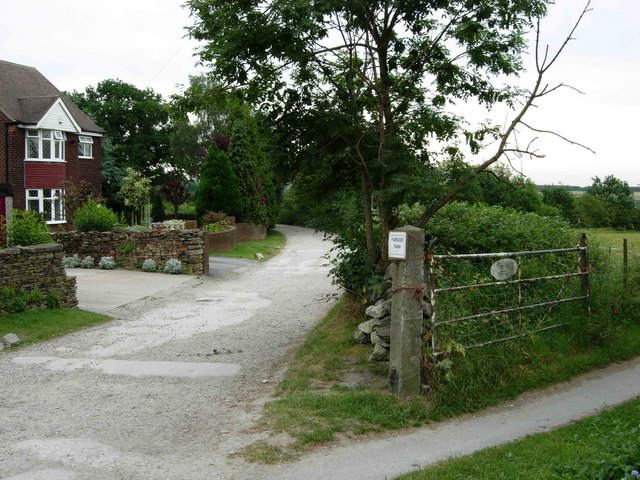
Westbank is a small village located in the county of Derbyshire, England. Situated in the Amber Valley district, it lies approximately 3 miles south of the town of Belper. The village is nestled within picturesque countryside, offering residents and visitors a tranquil and scenic environment.

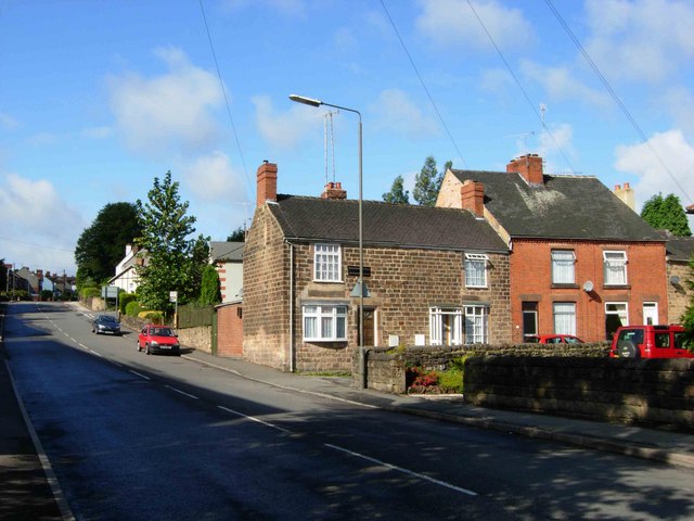
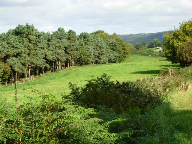
Despite its small size, Westbank boasts a close-knit community that takes pride in its rural heritage. The village is known for its charming cottages, many of which date back to the 18th and 19th centuries, adding to its quaint and traditional character. The surrounding landscape is predominantly agricultural, with rolling hills and fields, providing a peaceful and idyllic setting.

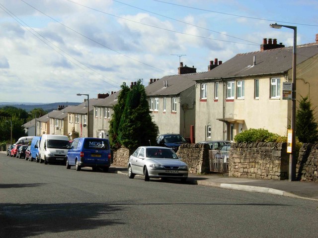
While Westbank does not have its own amenities, it benefits from its close proximity to nearby towns and villages, such as Belper and Duffield, where residents can find a range of services, including shops, schools, and healthcare facilities. The village is well-connected, with good transport links via roads and public transportation, making it easily accessible for both residents and visitors.

The area surrounding Westbank offers ample opportunities for outdoor activities, with several walking trails and nature reserves nearby. The Derwent Valley, a designated UNESCO World Heritage site, is within reach, offering stunning views and historic landmarks such as the famous Derwent Valley Mills.

Overall, Westbank is a charming rural village that provides a peaceful and scenic retreat for those seeking a slower pace of life, while still being within reach of essential amenities and attractions in the surrounding area.

If you have any feedback on the listing, please let us know in the comments section below.

Westbank Images

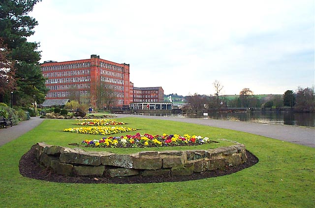
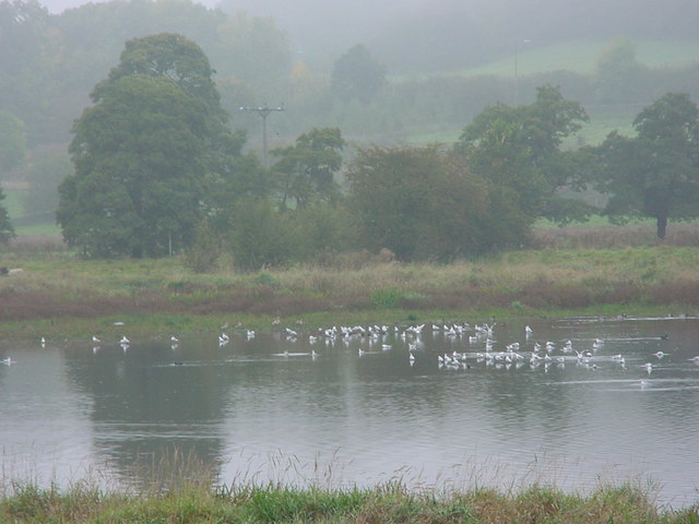
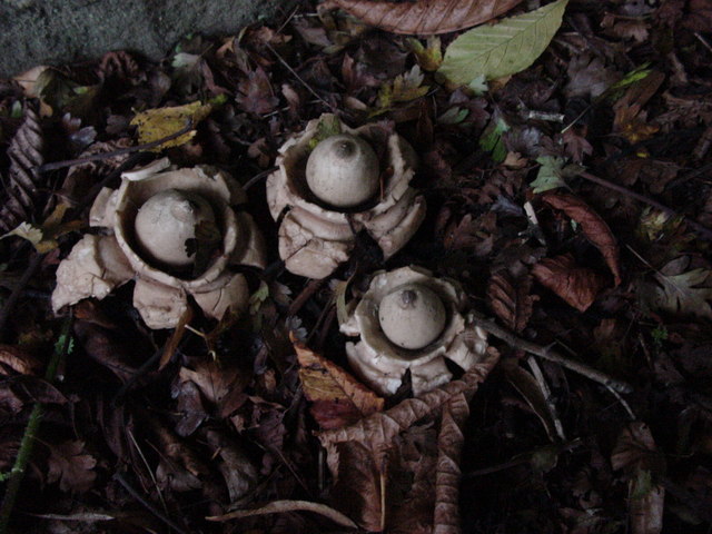
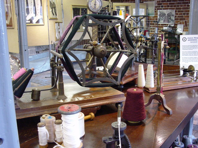
Images are sourced within 2km of 53.037071/-1.4645744 or Grid Reference SK3649. Thanks to Geograph Open Source API. All images are credited.

Belper North Mill & River Gardens Mills in Belper were constructed by Jedediah Strutt from 1776. The original North Mill was built in 1786 but the building was destroyed by fire in 1803. Now part of Derwent Valley Mills World Heritage Site, the new mill built in 1804 is a forerunner of the modern skyscraper. Another member of the Strutt family, George Herbert created the gardens in 1905.
Belper North Mill & River Gardens
Mills in Belper were constructed by Jedediah Strutt from 1776. The original North Mill was built in 1786 but the building was destroyed by fire in 1803. Now part of Derwent Valley Mills World Heritage Site, the new mill built in 1804 is a forerunner of the modern skyscraper. Another member of the Strutt family, George Herbert created the gardens in 1905.
Wyver Lane Nature Reserve Important wetland reserve in landlocked Derbyshire.
<span class="nowrap"><a title="http://www.derbyshirewildlifetrust.org.uk/index.php?section=places:reserves&reserveid=297" rel="nofollow ugc noopener" href="http://www.derbyshirewildlifetrust.org.uk/index.php?section=places:reserves&reserveid=297">Link</a><img style="margin-left:2px;" alt="External link" title="External link - shift click to open in new window" src="https://s1.geograph.org.uk/img/external.png" width="10" height="10"/></span>
A misty October day but hopefully gives a feel of the bird life here
Wyver Lane Nature Reserve
Important wetland reserve in landlocked Derbyshire. LinkExternal link A misty October day but hopefully gives a feel of the bird life here
Fungi near Wyver Lane footpath Earth Star (Geastrum triplex). The reserve is not just about birds.
Fungi near Wyver Lane footpath
Earth Star (Geastrum triplex). The reserve is not just about birds.
Hank winder in Belper North Mill Museum I was expecting someone to have posted "main" pics for here and this to be a supplemental - I suppose I had better take a shot of the building proper later this week!
Anyway still adding associated interiors of museum.
Hank winder in Belper North Mill Museum
I was expecting someone to have posted "main" pics for here and this to be a supplemental - I suppose I had better take a shot of the building proper later this week! Anyway still adding associated interiors of museum.
Hosiery knitting exhibit  in the museum
Hosiery knitting exhibit in the museum
Hosiery exhibits in North Mill Museum Brettles hosiery on display - a local Belper company
Hosiery exhibits in North Mill Museum
Brettles hosiery on display - a local Belper company
Kilburn Road, Openwoodgate From this point the A609 descends into the Derwent Valley at Belper.  The pub is the Seven Stars.
Kilburn Road, Openwoodgate
From this point the A609 descends into the Derwent Valley at Belper. The pub is the Seven Stars.
Over Lane, Openwoodgate Looking towards Heage.
Over Lane, Openwoodgate
Looking towards Heage.
Morley Close, Openwoodgate A small modern development of bungalows off Over Lane between Openwoodgate and Heage.
Morley Close, Openwoodgate
A small modern development of bungalows off Over Lane between Openwoodgate and Heage.
Park Lane, Heage At the southern end of Heage, Park Lane becomes a 'road used as a public path' leading to Morley Park.
Park Lane, Heage
At the southern end of Heage, Park Lane becomes a 'road used as a public path' leading to Morley Park.
East Mill, Belper Built 1912 but with a magnificent chimney from 1854. This was demolished in 1990 after suffering damage in a gale. The base is just visible. The engine house contained a turbine and is much smaller than you would expect. The site still uses water turbines on the Derwent to produce power for the grid.
East Mill, Belper
Built 1912 but with a magnificent chimney from 1854. This was demolished in 1990 after suffering damage in a gale. The base is just visible. The engine house contained a turbine and is much smaller than you would expect. The site still uses water turbines on the Derwent to produce power for the grid.
Belper Fire Station Belper Fire Station, Matlock Road, Belper, Derbyshire.
Belper Fire Station
Belper Fire Station, Matlock Road, Belper, Derbyshire.
Spencer Road, Belper Looking towards the town centre.
Spencer Road, Belper
Looking towards the town centre.
Crich Lane, Belper Looking down towards the town centre.
Crich Lane, Belper
Looking down towards the town centre.
View near Broadholm To the west of Crich Lane, just north of the built-up area of Belper.
View near Broadholm
To the west of Crich Lane, just north of the built-up area of Belper.
Farmland west of Heage Seen from the B6013 Belper - Heage road.
Farmland west of Heage
Seen from the B6013 Belper - Heage road.
Footpath at White Moor This footpath leads from White Moor towards Heage. Suburban development on the northern edge of Belper can be seen in the distance.
Footpath at White Moor
This footpath leads from White Moor towards Heage. Suburban development on the northern edge of Belper can be seen in the distance.
St Marks Church, Openwoodgate. The wrought iron gates to this church were made and erected as a memorial for the second world war.
St Marks Church, Openwoodgate.
The wrought iron gates to this church were made and erected as a memorial for the second world war.
Show me another place!

Westbank is located at Grid Ref: SK3649 (Lat: 53.037071, Lng: -1.4645744)

Administrative County: Derbyshire

District: Amber Va

Police Authority: Derbyshire

What 3 Words

///jots.thumbnail.brownish. Near Belper, Derbyshire

Nearby Locations

Westbank

Related Wikis

Belper Urban District

Belper was an Urban District in Derbyshire, England from 1894 to 1974. It was created under the Local Government Act 1894. It was enlarged in 1934 when...
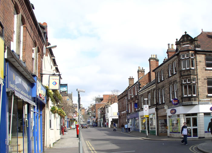
Belper

Belper () is a town and civil parish in the local government district of Amber Valley in Derbyshire, England, located about 7 miles (11 km) north of Derby...
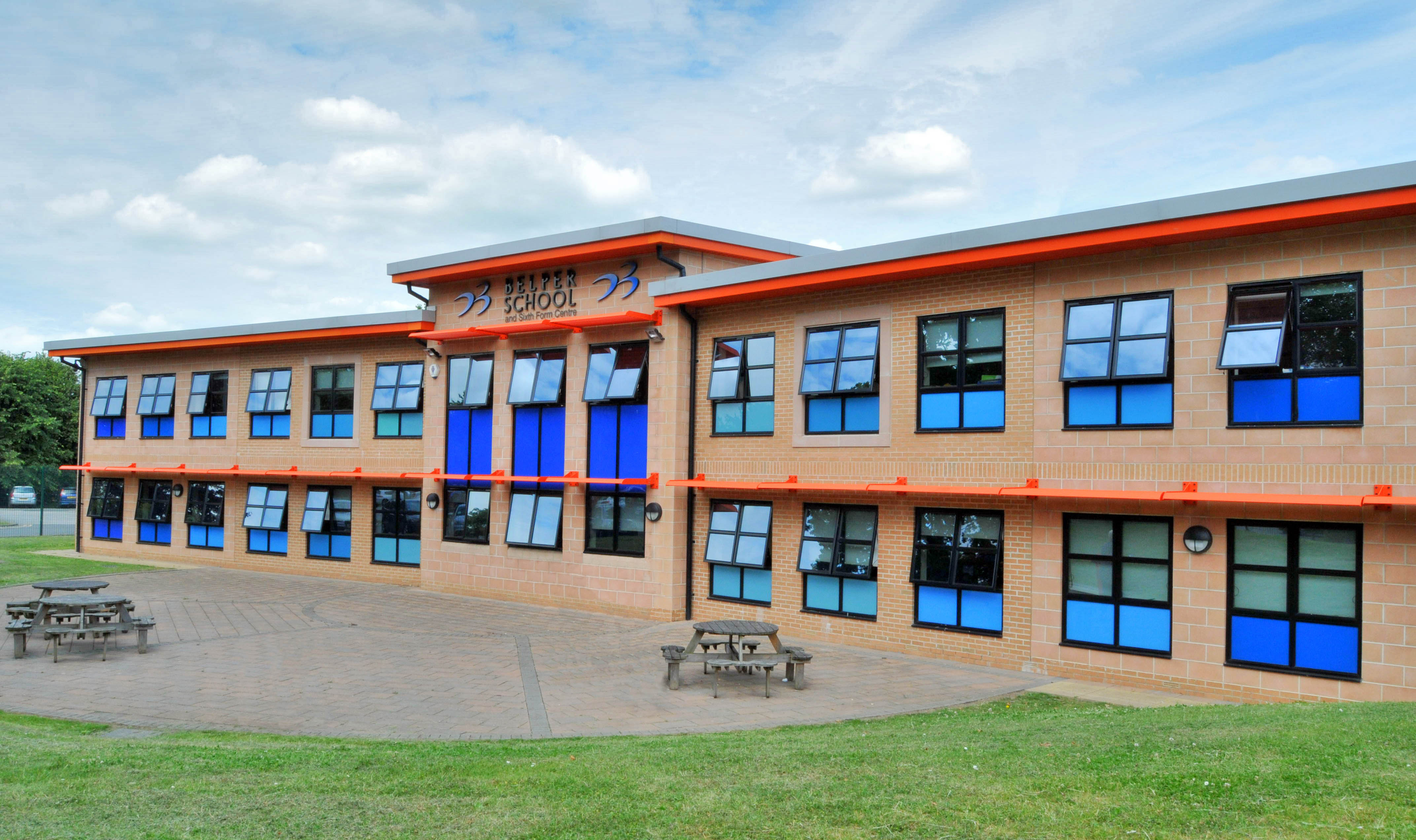
Belper School

Belper School and Sixth Form Centre is a foundation secondary school located in the north-east of Belper, Derbyshire, England. In October 2019, Ofsted...

Belper Congregational Church

Belper Congregational Church is a Grade II listed former congregational chapel on Green Lane in Belper, Derbyshire. == History == It was built to replace...

Nearby Amenities

Located within 500m of 53.037071,-1.4645744
Post Box
Brand: Royal Mail
Brand Wikidata: Q638098
Brand Wikipedia: en:Royal Mail
Operator: Royal Mail
Operator Wikidata: Q638098
Ref: DE56 424
Lat/Long: 53.0344832/-1.4679295
Barrier: stile
Ele: 114.7622070
Steps: 1
Stile: stepover
Lat/Long: 53.0353782/-1.4584677
Barrier: stile
Ele: 126.5383301
Steps: 1
Stile: stepover
Lat/Long: 53.0364893/-1.4602277
Ele: 170.0000000
Lat/Long: 53.0403459/-1.4694916
Ele: 169.0000000
Lat/Long: 53.0394227/-1.4699264
Barrier: stile
Ele: 171.0000000
Material: stone
Stile: squeezer
Lat/Long: 53.038441/-1.47042
Ele: 171.0000000
Lat/Long: 53.0384007/-1.4704429
Ele: 170.0000000
Lat/Long: 53.0376209/-1.4709592
Description: Radio mast
Man Made: tower
Source: View from footpath
Lat/Long: 53.0379412/-1.4691403
Ele: 155.0000000
Lat/Long: 53.0357791/-1.4707729
Ele: 154.0000000
Lat/Long: 53.0355709/-1.470935
Barrier: stile
Material: wood
Source: survey;gps
Stile: stepover
Lat/Long: 53.0367216/-1.4707696
Ele: 164.0000000
Lat/Long: 53.0362942/-1.4709077
Barrier: stile
Ele: 128.0000000
Steps: 0
Stile: stepover
Lat/Long: 53.0361468/-1.459769
Source: OS_OpenData_StreetView
Lat/Long: 53.0348498/-1.465604
Source: OS_OpenData_StreetView
Lat/Long: 53.0337281/-1.4654567
Source: OS_OpenData_StreetView
Lat/Long: 53.0343344/-1.4654587
Source: OS_OpenData_StreetView
Lat/Long: 53.035348/-1.4645777
Generator Method: photovoltaic
Generator Output Electricity: yes
Generator Source: solar
Generator Type: solar_photovoltaic_panel
Location: roof
Power: generator
Lat/Long: 53.0343071/-1.4612648
Bus Stop
Astlow Drive
Bus: yes
Public Transport: platform
Lat/Long: 53.0346257/-1.4639081
Bus Stop
Astlow Drive
Bus: yes
Public Transport: platform
Lat/Long: 53.0344986/-1.4641435
Bus Stop
Edensor Drive
Bus: yes
Naptan AtcoCode: 1000DBAR3999
Naptan NaptanCode: dbsgwgpw
Public Transport: platform
Lat/Long: 53.0357107/-1.4638256
Bus Stop
Edensor Drive
Bus: yes
Naptan AtcoCode: 1000DBAR4000
Naptan NaptanCode: dbsgwgta
Public Transport: platform
Lat/Long: 53.0356847/-1.4639192
Bus Stop
Lawn Farm
Bus: yes
Naptan AtcoCode: 1000DBFL3997
Naptan NaptanCode: dbsagmpa
Public Transport: platform
Lat/Long: 53.0356321/-1.4659184
Bus Stop
Lawn Farm
Bus: yes
Naptan AtcoCode: 1000DBFL3998
Naptan NaptanCode: dbsagmpd
Public Transport: platform
Lat/Long: 53.0353236/-1.4666285
Bus Stop
Appleton Drive
Bus: yes
Naptan AtcoCode: 1000DBAD3996
Naptan NaptanCode: dbsagjat
Public Transport: platform
Lat/Long: 53.0343694/-1.469239
Bus Stop
Appleton Drive
Bus: yes
Naptan AtcoCode: 1000DBAD3995
Naptan NaptanCode: dbsagjap
Public Transport: platform
Lat/Long: 53.0343997/-1.469186
Bus Stop
Jacksons Lane
Bus: yes
Naptan AtcoCode: 100000008541
Naptan NaptanCode: dbsdpjap
Public Transport: platform
Lat/Long: 53.037686/-1.4593738
Bus Stop
Jacksons Lane
Bus: yes
Public Transport: platform
Lat/Long: 53.0377687/-1.4594
Generator Method: photovoltaic
Generator Output Electricity: yes
Generator Source: solar
Generator Type: solar_photovoltaic_panel
Location: roof
Power: generator
Lat/Long: 53.0359331/-1.4713847
Generator Method: photovoltaic
Generator Output Electricity: yes
Generator Source: solar
Generator Type: solar_photovoltaic_panel
Location: roof
Power: generator
Lat/Long: 53.0356089/-1.4711084
Generator Method: photovoltaic
Generator Output Electricity: yes
Generator Source: solar
Generator Type: solar_photovoltaic_panel
Location: roof
Power: generator
Lat/Long: 53.035267/-1.4707732
Generator Method: photovoltaic
Generator Output Electricity: yes
Generator Source: solar
Generator Type: solar_photovoltaic_panel
Location: roof
Power: generator
Lat/Long: 53.0337315/-1.4676135
Generator Method: photovoltaic
Generator Output Electricity: yes
Generator Source: solar
Generator Type: solar_photovoltaic_panel
Location: roof
Power: generator
Lat/Long: 53.0346751/-1.4651754
Generator Method: photovoltaic
Generator Output Electricity: yes
Generator Source: solar
Generator Type: solar_photovoltaic_panel
Location: roof
Power: generator
Lat/Long: 53.0347122/-1.4636465
Generator Method: photovoltaic
Generator Output Electricity: yes
Generator Source: solar
Generator Type: solar_photovoltaic_panel
Location: roof
Power: generator
Lat/Long: 53.0354106/-1.4656206
Generator Method: photovoltaic
Generator Output Electricity: yes
Generator Source: solar
Generator Type: solar_photovoltaic_panel
Location: roof
Power: generator
Lat/Long: 53.0357517/-1.4646175
Generator Method: photovoltaic
Generator Output Electricity: yes
Generator Source: solar
Generator Type: solar_photovoltaic_panel
Location: roof
Power: generator
Lat/Long: 53.0356452/-1.4648897
Generator Method: photovoltaic
Generator Output Electricity: yes
Generator Source: solar
Generator Type: solar_photovoltaic_panel
Location: roof
Power: generator
Lat/Long: 53.0367552/-1.4616711
Generator Method: photovoltaic
Generator Output Electricity: yes
Generator Source: solar
Generator Type: solar_photovoltaic_panel
Location: roof
Power: generator
Lat/Long: 53.0358504/-1.4629907
Generator Method: photovoltaic
Generator Output Electricity: yes
Generator Source: solar
Generator Type: solar_photovoltaic_panel
Location: roof
Power: generator
Lat/Long: 53.0357988/-1.4631624
Generator Method: photovoltaic
Generator Output Electricity: yes
Generator Source: solar
Generator Type: solar_photovoltaic_panel
Location: roof
Power: generator
Lat/Long: 53.0357891/-1.463098
Generator Method: photovoltaic
Generator Output Electricity: yes
Generator Source: solar
Generator Type: solar_photovoltaic_panel
Location: roof
Power: generator
Lat/Long: 53.0337956/-1.4635379
Generator Method: photovoltaic
Generator Output Electricity: yes
Generator Source: solar
Generator Type: solar_photovoltaic_panel
Location: roof
Power: generator
Lat/Long: 53.0337875/-1.4635647
Generator Method: photovoltaic
Generator Output Electricity: yes
Generator Source: solar
Generator Type: solar_photovoltaic_panel
Location: roof
Power: generator
Lat/Long: 53.0327084/-1.4647315
Generator Method: photovoltaic
Generator Output Electricity: yes
Generator Source: solar
Generator Type: solar_photovoltaic_panel
Location: roof
Power: generator
Lat/Long: 53.0328568/-1.4663891
Generator Method: photovoltaic
Generator Output Electricity: yes
Generator Source: solar
Generator Type: solar_photovoltaic_panel
Location: roof
Power: generator
Lat/Long: 53.0341806/-1.4607001
Generator Method: photovoltaic
Generator Output Electricity: yes
Generator Source: solar
Generator Type: solar_photovoltaic_panel
Location: roof
Power: generator
Lat/Long: 53.0340418/-1.4610783
Generator Method: photovoltaic
Generator Output Electricity: yes
Generator Source: solar
Generator Type: solar_photovoltaic_panel
Location: roof
Power: generator
Lat/Long: 53.0339515/-1.4618025
Generator Method: photovoltaic
Generator Output Electricity: yes
Generator Source: solar
Generator Type: solar_photovoltaic_panel
Location: roof
Power: generator
Lat/Long: 53.0336112/-1.4608691
Power: pole
Lat/Long: 53.039602/-1.4586121
Power: pole
Lat/Long: 53.039052/-1.4582258
Power: pole
Lat/Long: 53.0383844/-1.457786
Power: pole
Lat/Long: 53.0379021/-1.4574346
The data included in this document is from www.openstreetmap.org. The data is made available under ODbL.

Have you been to Westbank?

Leave your review of Westbank below (or comments, questions and feedback).