Braeside

Settlement in Aberdeenshire

Scotland

Braeside

Hazlehead running track
Hazlehead running track Credit: Ralph Greig

Braeside is a small village located in the region of Aberdeenshire, Scotland. Situated in the northeastern part of the country, it lies about 10 miles west of the city of Aberdeen. The village is positioned on the banks of the River Dee, providing picturesque views and a serene atmosphere.

Known for its rural charm, Braeside is surrounded by rolling hills and beautiful countryside landscapes, making it an ideal location for nature enthusiasts and outdoor activities. The area offers ample opportunities for hiking, cycling, and fishing, as well as bird-watching and wildlife spotting.

Despite its relatively small size, Braeside boasts a strong sense of community and a friendly atmosphere. The village is home to a tight-knit population, with residents often organizing social events and gatherings. There is a local community center that hosts various activities and provides a space for locals to come together.

While Braeside mainly serves as a residential area, it is conveniently located near larger towns and cities, offering easy access to a range of amenities. The nearby city of Aberdeen provides numerous shopping centers, restaurants, and entertainment options, ensuring that residents have everything they need within reach.

In summary, Braeside is a charming village in Aberdeenshire, Scotland, offering a peaceful retreat in the heart of the countryside. With its natural beauty, community spirit, and proximity to larger towns, it is a desirable place to live for those seeking a balance between rural tranquility and urban convenience.

If you have any feedback on the listing, please let us know in the comments section below.
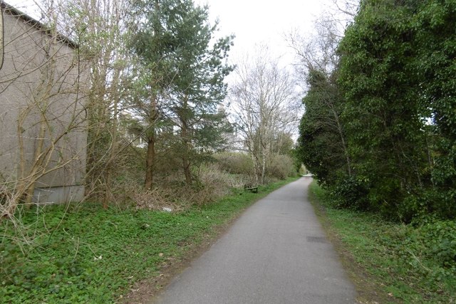
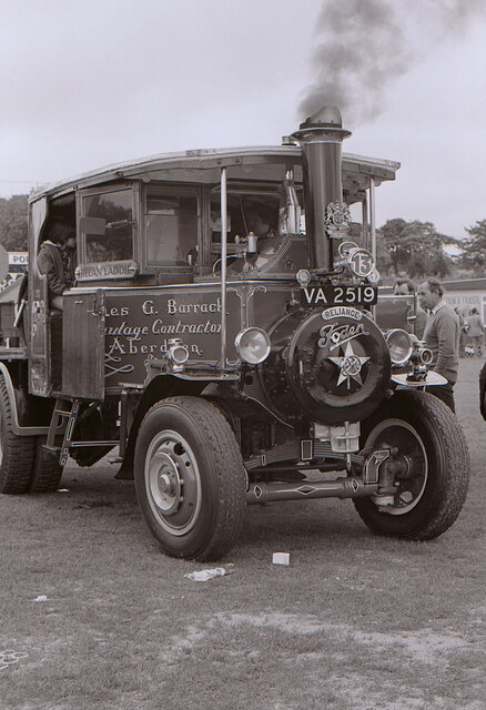
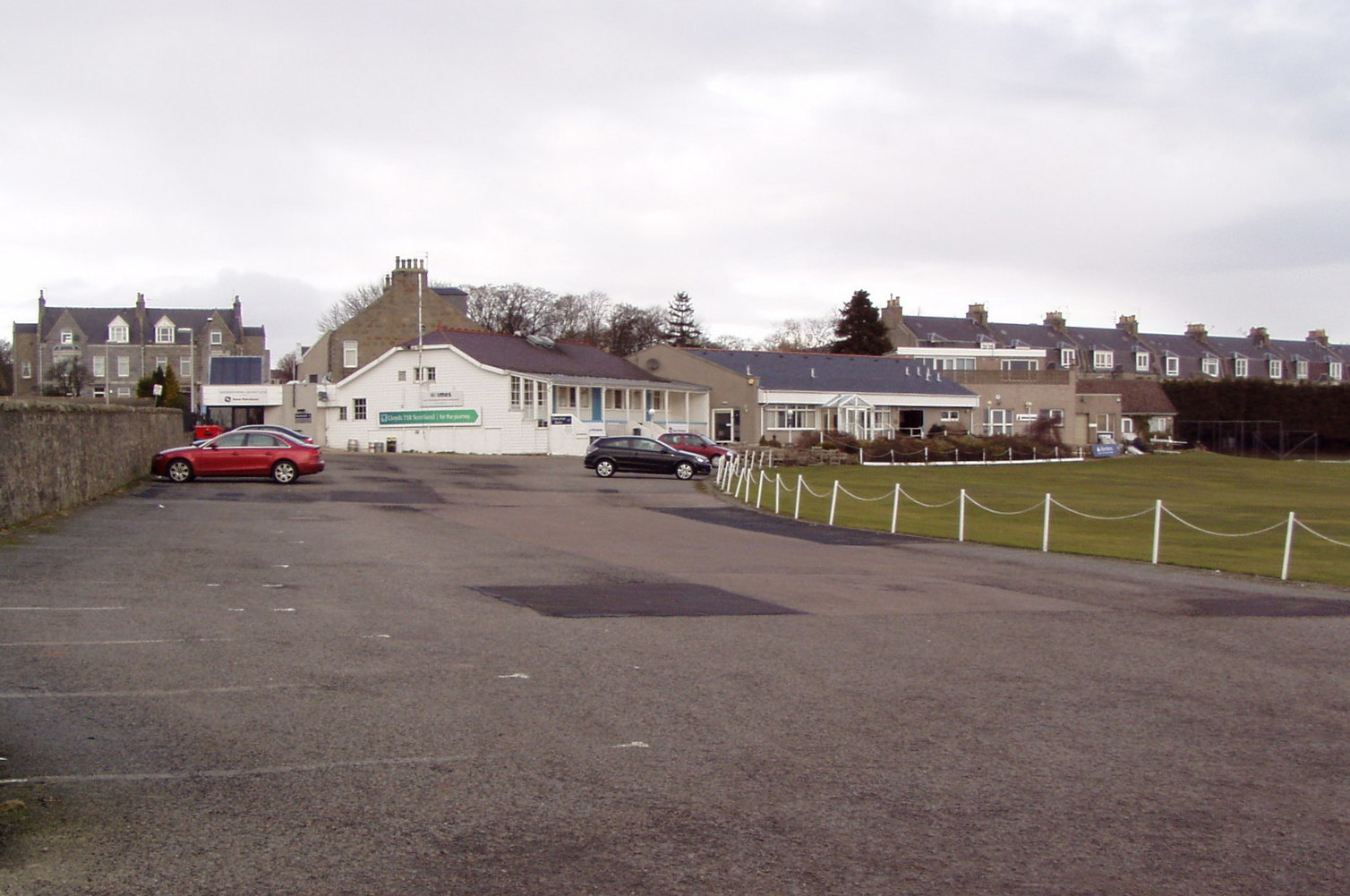
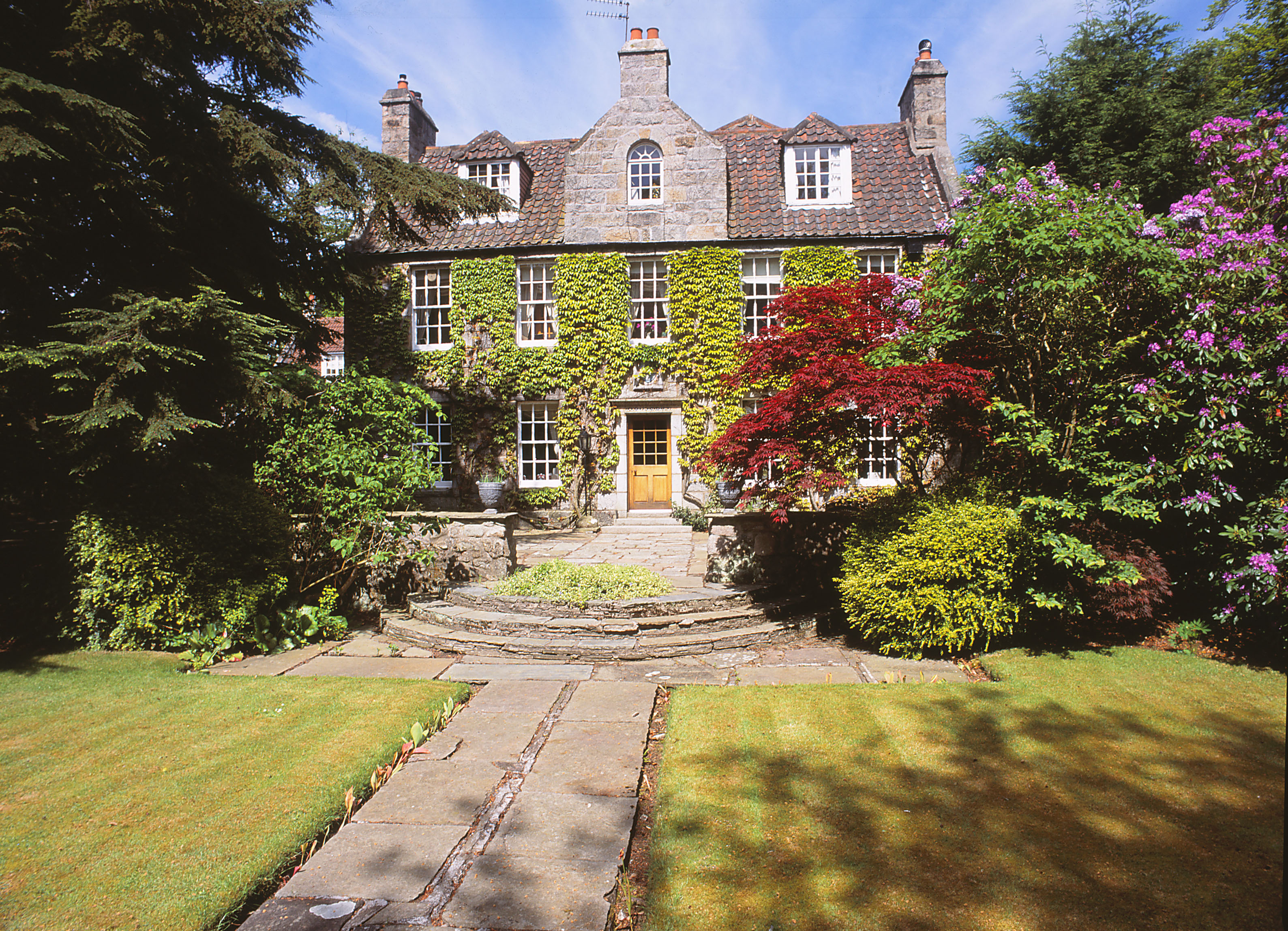
Braeside Images

Images are sourced within 2km of 57.12844/-2.1450764 or Grid Reference NJ9104. Thanks to Geograph Open Source API. All images are credited.

Hazlehead running track
Easy does it... Onlookers watch as John Fowler road roller Reg. No. SR7512 King o' the Road slowly drives off a low-loader at the Bon Accord Steam Rally in Hazlehead Park in June 1978. Built in 1930, it has A & M OGSTON - KIRRIEMUIR on the canopy.

The grid reference is approximate and refers to the centre of the field where the event was held.
Easy does it...
Onlookers watch as John Fowler road roller Reg. No. SR7512 King o' the Road slowly drives off a low-loader at the Bon Accord Steam Rally in Hazlehead Park in June 1978. Built in 1930, it has A & M OGSTON - KIRRIEMUIR on the canopy. The grid reference is approximate and refers to the centre of the field where the event was held.
Wanderin Willie Tasker B2 Convertable Tractor, Reg. No. SA 6914, 'Wanderin Willie' built in 1924, Works No. 1911. ‘The Little Giant’ was a brand name by Tasker. When photographed at the Bon Accord Steam Rally in Hazlehead Park in June 1978 it was owned by W McConachie – Tarland.

The grid reference is approximate and refers to the centre of the field where the event was held.
Wanderin Willie
Tasker B2 Convertable Tractor, Reg. No. SA 6914, 'Wanderin Willie' built in 1924, Works No. 1911. ‘The Little Giant’ was a brand name by Tasker. When photographed at the Bon Accord Steam Rally in Hazlehead Park in June 1978 it was owned by W McConachie – Tarland. The grid reference is approximate and refers to the centre of the field where the event was held.
King o' the Road John Fowler road roller Reg. No. SR7512 King o' the Road at the Bon Accord Steam Rally in Hazlehead Park in June 1978. Built in 1930, it has A & M OGSTON - KIRRIEMUIR on the canopy.

The grid reference is approximate and refers to the centre of the field where the event was held.
King o' the Road
John Fowler road roller Reg. No. SR7512 King o' the Road at the Bon Accord Steam Rally in Hazlehead Park in June 1978. Built in 1930, it has A & M OGSTON - KIRRIEMUIR on the canopy. The grid reference is approximate and refers to the centre of the field where the event was held.
Cracker A 1936 Leyland Cub Light Six Appliance on a low loader at the Bon Accord Steam Rally in Hazlehead Park in June 1978. At this time the vehicle belonged to the Heron Motor Group. 

It was purchased by Braidwood and Rushbrook Museum, Edinburgh in 1981 and is currently (2023) on loan to the Scottish Fire and Rescue Service Heritage Trust <span class="nowrap"><a title="https://sfbheritagetrust.org/ew-9795/" rel="nofollow ugc noopener" href="https://sfbheritagetrust.org/ew-9795/">Link</a><img style="margin-left:2px;" alt="External link" title="External link - shift click to open in new window" src="https://s1.geograph.org.uk/img/external.png" width="10" height="10"/></span>.
Cracker
A 1936 Leyland Cub Light Six Appliance on a low loader at the Bon Accord Steam Rally in Hazlehead Park in June 1978. At this time the vehicle belonged to the Heron Motor Group. It was purchased by Braidwood and Rushbrook Museum, Edinburgh in 1981 and is currently (2023) on loan to the Scottish Fire and Rescue Service Heritage Trust LinkExternal link.
Cults Station Like many stations on the Deeside Railway, the platform survives.
Cults Station
Like many stations on the Deeside Railway, the platform survives.
Deeside Railway, Cults Closed in 1968 and now a cycle/footpath.
Deeside Railway, Cults
Closed in 1968 and now a cycle/footpath.
Cults Station The station sign remains.  Presumably this station remained open until the 1960s, many other suburban stations were closed in 1937.
Cults Station
The station sign remains. Presumably this station remained open until the 1960s, many other suburban stations were closed in 1937.
Cults Station Surviving platform and building, closed in the 1960s.
Cults Station
Surviving platform and building, closed in the 1960s.
Marshall Road Roller at Hazlehead Marshall Road Roller No. 79420, Registration BW9028, built in 1925. It was appearing in the Bon Accord Steam Rally in Hazlehead Park in June 1977.

The grid reference is approximate and refers to the centre of the field where the event was held.
Marshall Road Roller at Hazlehead
Marshall Road Roller No. 79420, Registration BW9028, built in 1925. It was appearing in the Bon Accord Steam Rally in Hazlehead Park in June 1977. The grid reference is approximate and refers to the centre of the field where the event was held.
Foden Steam Tractor, Hielan Laddie Foden Steam Tractor Registration VA2519, 'Hielan Laddie', built in 1924. It was appearing in the Bon Accord Steam Rally in Hazlehead Park in June 1977.

The grid reference is approximate and refers to the centre of the field where the event was held.
Foden Steam Tractor, Hielan Laddie
Foden Steam Tractor Registration VA2519, 'Hielan Laddie', built in 1924. It was appearing in the Bon Accord Steam Rally in Hazlehead Park in June 1977. The grid reference is approximate and refers to the centre of the field where the event was held.
Bon Accord Steam Rally in Hazlehead Park A wide variety of steam rollers, tractors and engines at the Bon Accord Steam Rally in Hazlehead Park in June 1977.

The grid reference is approximate and refers to the centre of the field where the event was held.
Bon Accord Steam Rally in Hazlehead Park
A wide variety of steam rollers, tractors and engines at the Bon Accord Steam Rally in Hazlehead Park in June 1977. The grid reference is approximate and refers to the centre of the field where the event was held.
Tasker Tractor, The Horse's Friend This Tasker Tractor (No. 1296), 'The Horse's Friend', was built in 1902 and is owned by the R.S.P.C.A. It was appearing in the Bon Accord Steam Rally in Hazlehead Park in June 1977.

Apparently this engine was ordered on behalf of two ladies who bought it to assist hauling heavy loads up a steep hill in London. This was done to relieve the strain on the horses used at that time to move most goods about. 

The grid reference is approximate and refers to the centre of the field where the event was held.
Tasker Tractor, The Horse's Friend
This Tasker Tractor (No. 1296), 'The Horse's Friend', was built in 1902 and is owned by the R.S.P.C.A. It was appearing in the Bon Accord Steam Rally in Hazlehead Park in June 1977. Apparently this engine was ordered on behalf of two ladies who bought it to assist hauling heavy loads up a steep hill in London. This was done to relieve the strain on the horses used at that time to move most goods about. The grid reference is approximate and refers to the centre of the field where the event was held.
Super Sentinel Steam Wagon, Tiger, at Hazlehead A Super Sentinel Steam Wagon, 'Tiger', works No. 5260, Registration No. RS 5540, built in 1924. It was originally supplied new to Aberdeen Coal and Shipping for whom it worked until the mid-1960s. It was appearing in the Bon Accord Steam Rally in Hazlehead Park in June 1977.

The grid reference is approximate and refers to the centre of the field where the event was held.
Super Sentinel Steam Wagon, Tiger, at Hazlehead
A Super Sentinel Steam Wagon, 'Tiger', works No. 5260, Registration No. RS 5540, built in 1924. It was originally supplied new to Aberdeen Coal and Shipping for whom it worked until the mid-1960s. It was appearing in the Bon Accord Steam Rally in Hazlehead Park in June 1977. The grid reference is approximate and refers to the centre of the field where the event was held.
Fowler Road Roller at Hazlehead A Fowler Road Roller, No. 19457, Registration AV4778, built in 1931. The name on the side is 'Aberdeen County Council'. It was appearing in the Bon Accord Steam Rally in Hazlehead Park in June 1977.

The grid reference is approximate and refers to the centre of the field where the event was held.
Fowler Road Roller at Hazlehead
A Fowler Road Roller, No. 19457, Registration AV4778, built in 1931. The name on the side is 'Aberdeen County Council'. It was appearing in the Bon Accord Steam Rally in Hazlehead Park in June 1977. The grid reference is approximate and refers to the centre of the field where the event was held.
Foden Steam Tractor, Hielan Laddie Foden Steam Tractor Registration VA2519, 'Hielan Laddie', built in 1924. It was appearing in the Bon Accord Steam Rally in Hazlehead Park in June 1977.

The grid reference is approximate and refers to the centre of the field where the event was held.
Foden Steam Tractor, Hielan Laddie
Foden Steam Tractor Registration VA2519, 'Hielan Laddie', built in 1924. It was appearing in the Bon Accord Steam Rally in Hazlehead Park in June 1977. The grid reference is approximate and refers to the centre of the field where the event was held.
Aveling and Porter convertible general purpose engine, Tam O'Shanter, at Hazlehead An Aveling and Porter Type AR7 convertible traction engine, works number 5065, Registration No. SA4835. Built in 1902, it was supplied new to Aberdeen County Council who used it until 1938, since when it has been owned by various local Aberdeen families. Although seen here called 'Tam O'Shanter', it was at one time called 'Nancy'.
Aveling and Porter convertible general purpose engine, Tam O'Shanter, at Hazlehead
An Aveling and Porter Type AR7 convertible traction engine, works number 5065, Registration No. SA4835. Built in 1902, it was supplied new to Aberdeen County Council who used it until 1938, since when it has been owned by various local Aberdeen families. Although seen here called 'Tam O'Shanter', it was at one time called 'Nancy'.
Show me another place!

Braeside is located at Grid Ref: NJ9104 (Lat: 57.12844, Lng: -2.1450764)

Unitary Authority: City of Aberdeen

Police Authority: North East

What 3 Words

///trendy.happen.half. Near Cults, Aberdeen

Related Wikis

Nearby Amenities

Located within 500m of 57.12844,-2.1450764
Traffic Signals
Traffic Signals: signal
Lat/Long: 57.126983/-2.1430175
Traffic Signals
Traffic Signals: signal
Lat/Long: 57.130163/-2.1474276
Noexit: yes
Lat/Long: 57.1294685/-2.1485449
Turning Circle
Lat/Long: 57.1248333/-2.1495562
Braeside
Is In: Aberdeen, Aberdeen City, Scotland, United Kingdom
Place: suburb
Source: OS_OpenData_StreetView
Wikidata: Q4955337
Wikipedia: en:Braeside, Aberdeen
Lat/Long: 57.1277259/-2.1483407
Barrier: lift_gate
Lat/Long: 57.1268568/-2.1428407
Barrier: cycle_barrier
Lat/Long: 57.1242522/-2.1473223
Bus Stop
Northcote Road
Bench: no
Bin: no
Bus: yes
Lit: yes
Naptan AtcoCode: 639005911
Naptan CommonName: Northcote Road
Naptan Indicator: opp
Naptan NaptanCode: 23232739
Naptan Verified: no
Public Transport: platform
Shelter: no
Tactile Paving: no
Lat/Long: 57.1246476/-2.1479588
Bus Stop
Northcote Road
Bench: yes
Bin: no
Bus: yes
Lit: yes
Naptan AtcoCode: 639005912
Naptan CommonName: Northcote Road
Naptan Indicator: at
Naptan NaptanCode: 23232746
Naptan Verified: no
Public Transport: platform
Shelter: yes
Source: bing; gps
Tactile Paving: no
Lat/Long: 57.125147/-2.1470371
Bus Stop
Deeside Drive
Bench: yes
Bin: yes
Bus: yes
Lit: yes
Naptan AtcoCode: 639005901
Naptan CommonName: Deeside Drive
Naptan Indicator: at
Naptan NaptanCode: 23232757
Naptan Verified: no
Public Transport: platform
Shelter: yes
Source: bing; gps
Tactile Paving: no
Lat/Long: 57.1259618/-2.1446937
Bus Stop
Deeside Drive
Bench: yes
Bin: no
Bus: yes
Lit: yes
Naptan AtcoCode: 639005902
Naptan CommonName: Deeside Drive
Naptan Indicator: opp
Naptan NaptanCode: 23232758
Naptan Verified: no
Public Transport: platform
Shelter: yes
Source: bing; gps
Tactile Paving: no
Lat/Long: 57.1262651/-2.1443921
Bus Stop
Springfield Road
Bench: no
Bin: no
Bus: yes
Lit: yes
Naptan AtcoCode: 639000242
Naptan CommonName: Springfield Road
Naptan Indicator: opp 26
Naptan NaptanCode: 23232765
Naptan Verified: no
Public Transport: platform
Shelter: no
Source: bing; gps
Tactile Paving: no
Lat/Long: 57.1276073/-2.1421604
Bus Stop
Springfield Road
Bench: no
Bin: no
Bus: yes
Lit: yes
Naptan AtcoCode: 639000241
Naptan CommonName: Springfield Road
Naptan Indicator: o/s 25
Naptan NaptanCode: 23232768
Naptan Verified: no
Public Transport: platform
Shelter: no
Source: bing; gps
Tactile Paving: no
Lat/Long: 57.1277192/-2.1422571
Bus Stop
Gordon Terrace
Bench: no
Bin: no
Bus: yes
Lit: yes
Naptan AtcoCode: 639000253
Naptan CommonName: Gordon Terrace
Naptan Indicator: opp
Naptan NaptanCode: 23232842
Naptan Verified: no
Public Transport: platform
Shelter: no
Source: bing; gps
Tactile Paving: no
Lat/Long: 57.1293428/-2.1401348
Bus Stop
Morningside Road
Bench: yes
Bin: yes
Bus: yes
Lit: yes
Naptan AtcoCode: 639000251
Naptan CommonName: Morningside Road
Naptan Indicator: opp
Naptan NaptanCode: 23232836
Naptan Verified: no
Public Transport: platform
Shelter: yes
Source: bing; gps
Tactile Paving: no
Lat/Long: 57.1300836/-2.1395488
Bus Stop
Cranford Road
Bench: no
Bin: no
Bus: yes
Lit: yes
Naptan AtcoCode: 639000252
Naptan CommonName: Cranford Road
Naptan Indicator: adj
Naptan NaptanCode: 23232787
Naptan Verified: no
Public Transport: platform
Shelter: no
Source: bing; gps
Tactile Paving: no
Lat/Long: 57.1308714/-2.1385629
Cafe
Thyme Out
Addr City: Aberdeen
Addr Housenumber: 569
Addr Postcode: AB10 6PA
Addr Street: Great Western Road
Fhrs Authority: Aberdeen City
Fhrs Id: 965752
Fhrs Local Authority Id: EHDC12422
Not Brand Wikidata: Q120645568
Lat/Long: 57.1301776/-2.1390728
Bus Stop
Springbank Cemetery
Bus: yes
Naptan AtcoCode: 639007532
Naptan CommonName: Springbank Cemetery
Naptan Indicator: at
Naptan NaptanCode: 23237452
Naptan Verified: no
Public Transport: platform
Shelter: no
Lat/Long: 57.1310701/-2.1481262
Bus Stop
Craigton Road
Bus: yes
Naptan AtcoCode: 639007531
Naptan CommonName: Craigton Road
Naptan Indicator: S-bound
Naptan NaptanCode: 23232845
Naptan Verified: no
Public Transport: platform
Shelter: no
Lat/Long: 57.1308818/-2.1477951
Bus Stop
Library
Bus: yes
Naptan AtcoCode: 639007541
Naptan CommonName: Library
Naptan Indicator: at
Naptan NaptanCode: 23232854
Naptan Verified: no
Public Transport: platform
Shelter: no
Lat/Long: 57.1320125/-2.1487908
Bus Stop
Braeside Place
Bench: no
Bin: no
Bus: yes
Lit: yes
Naptan AtcoCode: 639000161
Naptan CommonName: Braeside Place
Naptan Indicator: adj
Naptan NaptanCode: 23232794
Naptan Verified: no
Public Transport: platform
Shelter: no
Tactile Paving: no
Lat/Long: 57.129229/-2.1508052
Bus Stop
Braeside Place
Bench: no
Bin: no
Bus: yes
Lit: yes
Naptan AtcoCode: 639000162
Naptan CommonName: Braeside Place
Naptan Indicator: opp
Naptan NaptanCode: 23232797
Naptan Verified: no
Public Transport: platform
Shelter: no
Tactile Paving: no
Lat/Long: 57.1294233/-2.1505148
Bus Stop
Gordon Road
Bus: yes
Naptan AtcoCode: 639000232
Naptan CommonName: Gordon Road
Naptan Indicator: at
Naptan NaptanCode: 23232769
Naptan Verified: no
Public Transport: platform
Lat/Long: 57.1283072/-2.144762
Bus Stop
Gordon Road
Bus: yes
Naptan AtcoCode: 639000231
Naptan CommonName: Gordon Road
Naptan Indicator: opp
Naptan NaptanCode: 23232782
Naptan Verified: no
Public Transport: platform
Lat/Long: 57.1278725/-2.144423
Bus Stop
Craigton Terrace
Bus: yes
Naptan AtcoCode: 639000222
Naptan CommonName: Craigton Terrace
Naptan Indicator: adj
Naptan NaptanCode: 23232796
Naptan Verified: no
Public Transport: platform
Lat/Long: 57.1293206/-2.1462196
Bus Stop
Craigton Road
Bus: yes
Naptan AtcoCode: 639000221
Naptan CommonName: Craigton Road
Naptan Indicator: at
Naptan NaptanCode: 23232834
Naptan Verified: no
Public Transport: platform
Lat/Long: 57.1297778/-2.1470638
Bus Stop
Braeside Avenue
Bench: no
Bin: no
Bus: yes
Lit: yes
Naptan AtcoCode: 639000233
Naptan CommonName: Braeside Avenue
Naptan Indicator: opp
Naptan NaptanCode: 23237343
Naptan Verified: no
Public Transport: platform
Shelter: no
Tactile Paving: no
Lat/Long: 57.1273656/-2.1434039
Crossing
Crossing: unmarked
Crossing Island: yes
Crossing Markings: no
Tactile Paving: yes
Lat/Long: 57.1291213/-2.1514369
Access: permissive
Entrance: main
Wheelchair: yes
Lat/Long: 57.1252426/-2.1426599
Access: yes
Entrance: main
Wheelchair: yes
Lat/Long: 57.1251655/-2.1425256
Noexit: yes
Lat/Long: 57.129997/-2.1389393
8 ABD
Designation: March Stone
Historic: archaeological_site
Source: GPS
Lat/Long: 57.1308216/-2.1430823
9 ABD
Designation: March Stone
Historic: archaeological_site
Source: GPS
Lat/Long: 57.1291417/-2.1515889
Generator Method: photovoltaic
Generator Output Electricity: yes
Generator Source: solar
Generator Type: solar_photovoltaic_panel
Location: roof
Power: generator
Lat/Long: 57.1311521/-2.1488544
Generator Method: photovoltaic
Generator Output Electricity: yes
Generator Source: solar
Generator Type: solar_photovoltaic_panel
Location: roof
Power: generator
Lat/Long: 57.1307226/-2.1484253
Generator Method: photovoltaic
Generator Output Electricity: yes
Generator Source: solar
Generator Type: solar_photovoltaic_panel
Location: roof
Power: generator
Lat/Long: 57.1271327/-2.1522287
Generator Method: photovoltaic
Generator Output Electricity: yes
Generator Source: solar
Generator Type: solar_photovoltaic_panel
Location: roof
Power: generator
Lat/Long: 57.1265984/-2.1511021
Generator Method: photovoltaic
Generator Output Electricity: yes
Generator Source: solar
Generator Type: solar_photovoltaic_panel
Location: roof
Power: generator
Lat/Long: 57.1271298/-2.1474811
Generator Method: photovoltaic
Generator Output Electricity: yes
Generator Source: solar
Generator Type: solar_photovoltaic_panel
Location: roof
Power: generator
Lat/Long: 57.1265737/-2.1461669
Generator Method: photovoltaic
Generator Output Electricity: yes
Generator Source: solar
Generator Type: solar_photovoltaic_panel
Location: roof
Power: generator
Lat/Long: 57.1260161/-2.1474651
Generator Method: photovoltaic
Generator Output Electricity: yes
Generator Source: solar
Generator Type: solar_photovoltaic_panel
Location: roof
Power: generator
Lat/Long: 57.1258894/-2.1422884
Generator Method: photovoltaic
Generator Output Electricity: yes
Generator Source: solar
Generator Type: solar_photovoltaic_panel
Location: roof
Power: generator
Lat/Long: 57.1247356/-2.1442746
Generator Method: photovoltaic
Generator Output Electricity: yes
Generator Source: solar
Generator Type: solar_photovoltaic_panel
Location: roof
Power: generator
Lat/Long: 57.1243388/-2.1430796
Crossing
Lat/Long: 57.1307484/-2.1439086
Generator Method: photovoltaic
Generator Output Electricity: yes
Generator Source: solar
Generator Type: solar_photovoltaic_panel
Location: roof
Power: generator
Lat/Long: 57.1319294/-2.143777
Generator Method: photovoltaic
Generator Output Electricity: yes
Generator Source: solar
Generator Type: solar_photovoltaic_panel
Location: roof
Power: generator
Lat/Long: 57.1307576/-2.1421382
Generator Method: photovoltaic
Generator Output Electricity: yes
Generator Source: solar
Generator Type: solar_photovoltaic_panel
Location: roof
Power: generator
Lat/Long: 57.1302546/-2.1426867
Crossing
Lat/Long: 57.1310866/-2.141355
Grit Bin
Lat/Long: 57.1249518/-2.1476461
Cycleway: asl
Direction: backward
Lat/Long: 57.1268386/-2.1432614
Cycleway: asl
Direction: forward
Lat/Long: 57.1271186/-2.1432126
Cycleway: asl
Direction: forward
Lat/Long: 57.1271727/-2.1427886
Generator Method: photovoltaic
Generator Output Electricity: yes
Generator Source: solar
Generator Type: solar_photovoltaic_panel
Location: roof
Power: generator
Lat/Long: 57.1296126/-2.142507
Crossing
Lat/Long: 57.1282475/-2.1448023
Traffic Calming: cushion
Lat/Long: 57.129672/-2.1393487
Traffic Calming: cushion
Lat/Long: 57.129102/-2.1381464
Cycleway: asl
Direction: forward
Lat/Long: 57.1302911/-2.1475178
Cycleway: asl
Direction: backward
Lat/Long: 57.130093/-2.1476994
Cycleway: asl
Direction: forward
Lat/Long: 57.1302293/-2.1471669
Cycleway: asl
Direction: backward
Lat/Long: 57.1300233/-2.1472609
Generator Method: photovoltaic
Generator Output Electricity: yes
Generator Source: solar
Generator Type: solar_photovoltaic_panel
Location: roof
Power: generator
Lat/Long: 57.1294674/-2.1436331
Post Box
Addr Postcode: AB15 7RH
Lat/Long: 57.1298638/-2.1520074
Generator Method: photovoltaic
Generator Output Electricity: yes
Generator Source: solar
Generator Type: solar_photovoltaic_panel
Location: roof
Power: generator
Lat/Long: 57.1246755/-2.1415132
Crossing
Crossing: unmarked
Crossing Island: no
Tactile Paving: yes
Lat/Long: 57.1313925/-2.1395222
Post Box
Addr City: Aberdeen
Addr Country: GB
Addr Postcode: AB15 7RL
Addr Street: Gordon Road
Lat/Long: 57.1282013/-2.1443151
Post Box
Addr City: Aberdeen
Addr Country: GB
Addr Postcode: AB15 7TR
Addr Street: Airyhall Road
Lat/Long: 57.1263125/-2.1506689
Crossing
Crossing: unmarked
Crossing Island: no
Crossing Markings: no
Tactile Paving: yes
Lat/Long: 57.1252506/-2.142137
Grit Bin
Colour: yellow
Lat/Long: 57.1306311/-2.1452597
Crossing
Button Operated: yes
Crossing: traffic_signals
Crossing Island: no
Crossing Markings: yes
Tactile Paving: yes
Lat/Long: 57.1302069/-2.147255
Crossing
Button Operated: yes
Crossing: traffic_signals
Crossing Island: no
Crossing Markings: yes
Tactile Paving: yes
Lat/Long: 57.1300664/-2.1473123
Crossing
Button Operated: yes
Crossing: traffic_signals
Crossing Island: no
Crossing Markings: yes
Tactile Paving: yes
Lat/Long: 57.1301198/-2.1475953
Crossing
Button Operated: yes
Crossing: traffic_signals
Crossing Island: no
Crossing Markings: yes
Tactile Paving: yes
Lat/Long: 57.1302366/-2.1474795
The data included in this document is from www.openstreetmap.org. The data is made available under ODbL.

Have you been to Braeside?

Leave your review of Braeside below (or comments, questions and feedback).