Thurrock, West
Settlement in Essex
England
Thurrock, West

Thurrock is a district located in the west of the county of Essex, in the East of England. It covers an area of approximately 162 square kilometers and is situated along the north bank of the River Thames. The district is home to a population of around 172,000 people.
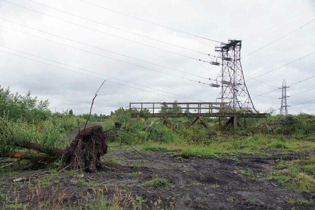
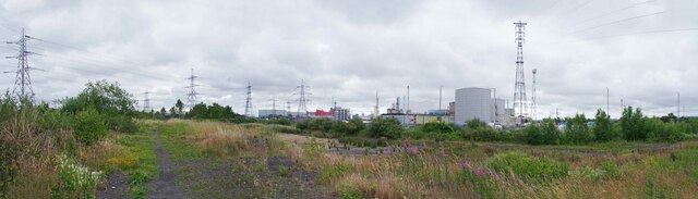
Thurrock is known for its diverse mix of urban and rural landscapes. It consists of a number of towns and villages, including Grays, Tilbury, Purfleet, and Aveley. The area has a rich industrial heritage, with significant ports and industrial sites that have played a vital role in the local economy. The London Gateway Port, one of the United Kingdom's largest container ports, is located in Thurrock.
The district is well-connected, with excellent transport links. It is intersected by major roads, including the M25 motorway, which provides easy access to London and other parts of the country. Thurrock is also served by several railway stations, connecting it to London and other towns in Essex.
Thurrock boasts a range of amenities and attractions. Lakeside Shopping Centre, one of the largest retail destinations in Europe, is located here. The area also hosts the Thurrock Thameside Nature Park, a 120-acre nature reserve offering opportunities for wildlife observation and leisure activities.
In terms of education, Thurrock has a number of primary and secondary schools, as well as colleges and a university campus. The district is also home to the Thurrock and Basildon College, offering further education and vocational courses.
Overall, Thurrock is a vibrant district with a mix of urban and natural landscapes, offering a range of amenities and opportunities for both residents and visitors.
If you have any feedback on the listing, please let us know in the comments section below.
Thurrock, West Images
Images are sourced within 2km of 51.478908/0.279655 or Grid Reference TQ5878. Thanks to Geograph Open Source API. All images are credited.


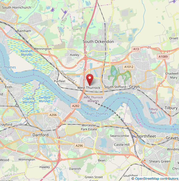
Thurrock, West is located at Grid Ref: TQ5878 (Lat: 51.478908, Lng: 0.279655)
Unitary Authority: Thurrock
Police Authority: Essex
What 3 Words
///itself.former.anyway. Near West Thurrock, Essex
Nearby Locations
Related Wikis
Essex lorry deaths
On 23 October 2019, the bodies of 39 Vietnamese people — 31 men and 8 women — were found in the trailer of an articulated refrigerator lorry in Grays,...
West Thurrock
West Thurrock is an area, former civil parish and traditional Church of England parish in Thurrock, Essex, England, located 18 miles (28.1 km) east south...
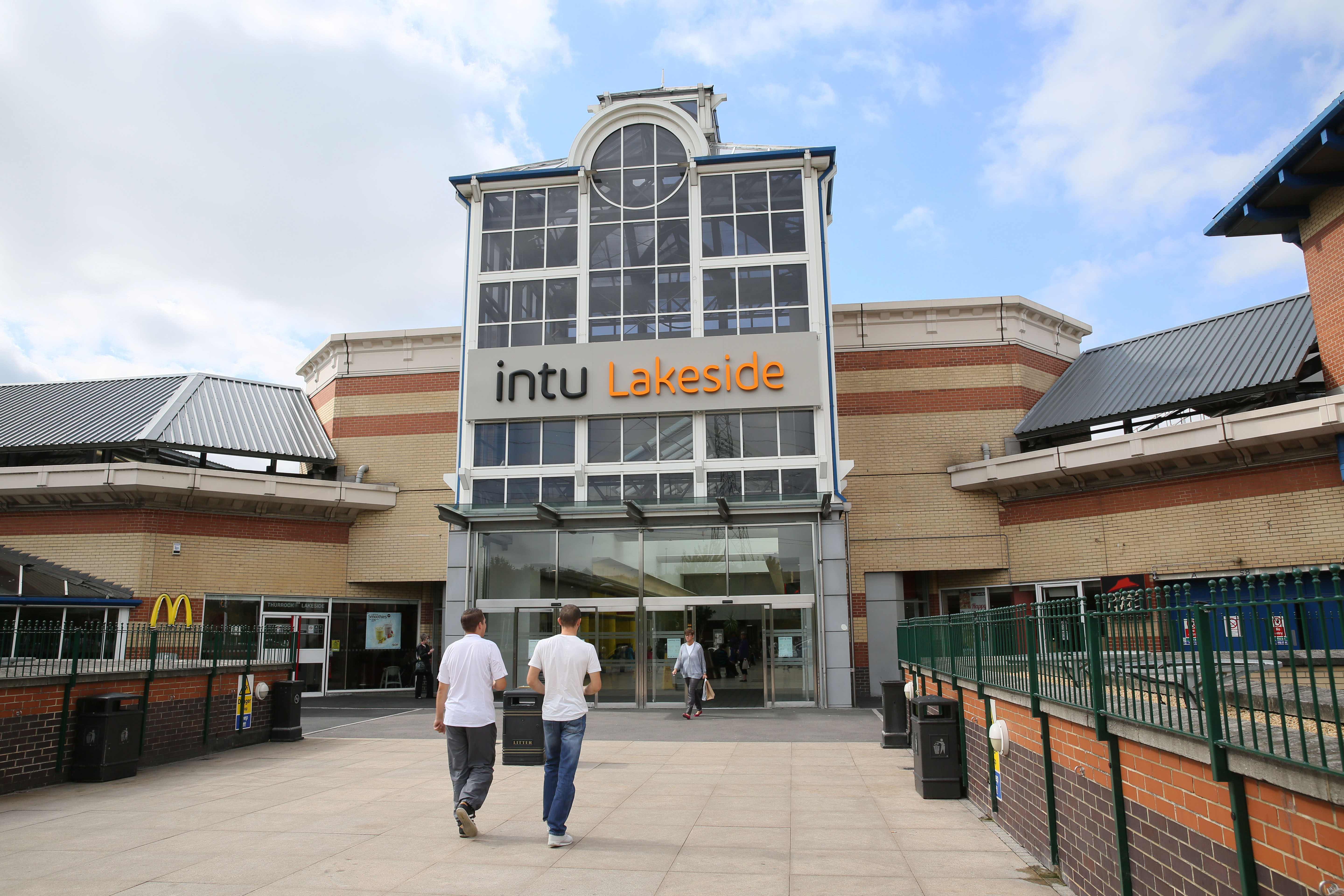
Lakeside Shopping Centre
Lakeside Shopping Centre (commonly referred to as Lakeside) is a large out-of-town shopping centre located in West Thurrock, Essex just beyond the eastern...
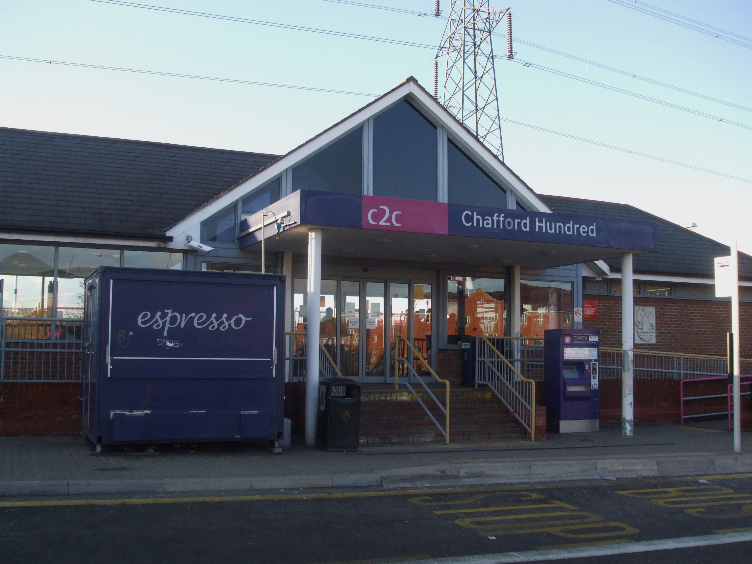
Chafford Hundred Lakeside railway station
Chafford Hundred Lakeside railway station, also known simply as Chafford Hundred station, is located on a single-track branch line of the London, Tilbury...
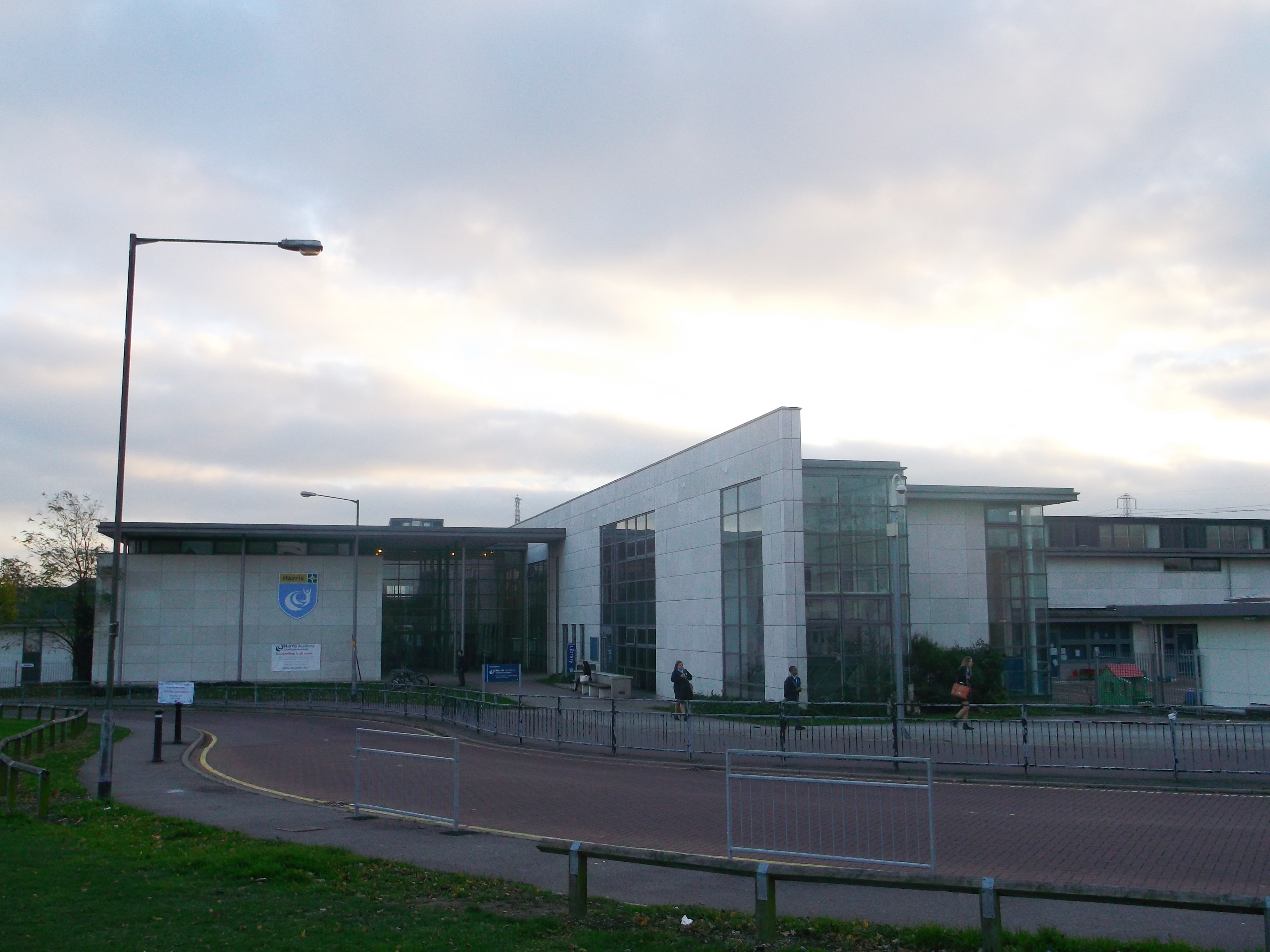
Harris Academy Chafford Hundred
Harris Academy Chafford Hundred (formerly Chafford Hundred Campus Business and Enterprise College) is a secondary school and sixth form with academy status...
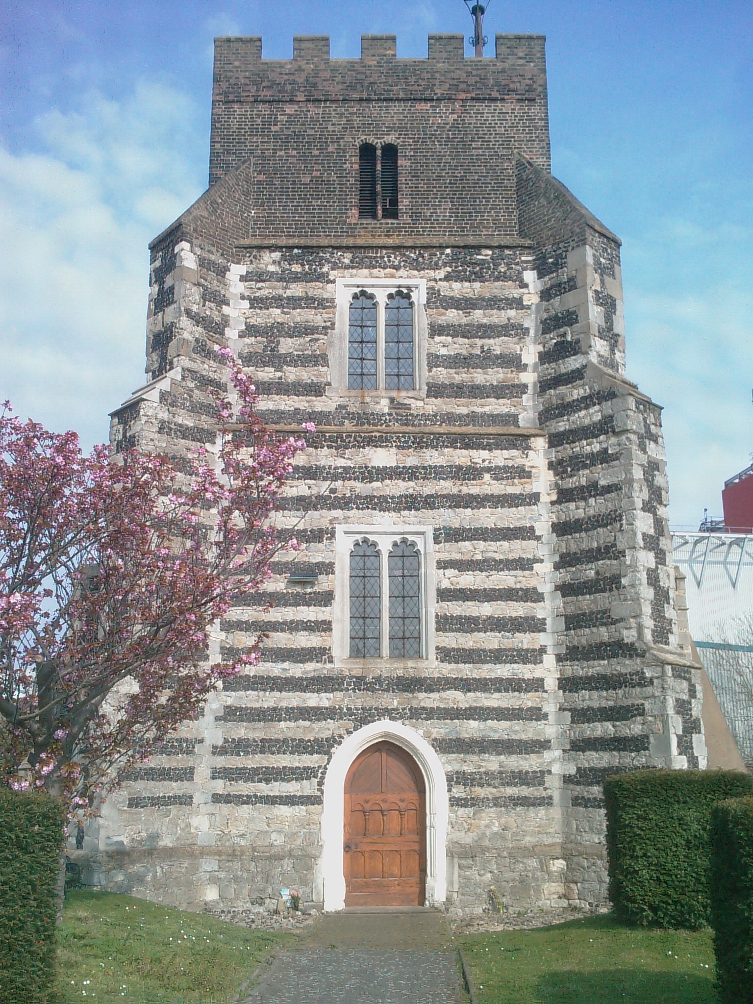
St Clement's Church, West Thurrock
St Clement's Church is a Grade I listed building in West Thurrock, Essex, England. It is the church for one of the traditional (Church of England) parishes...
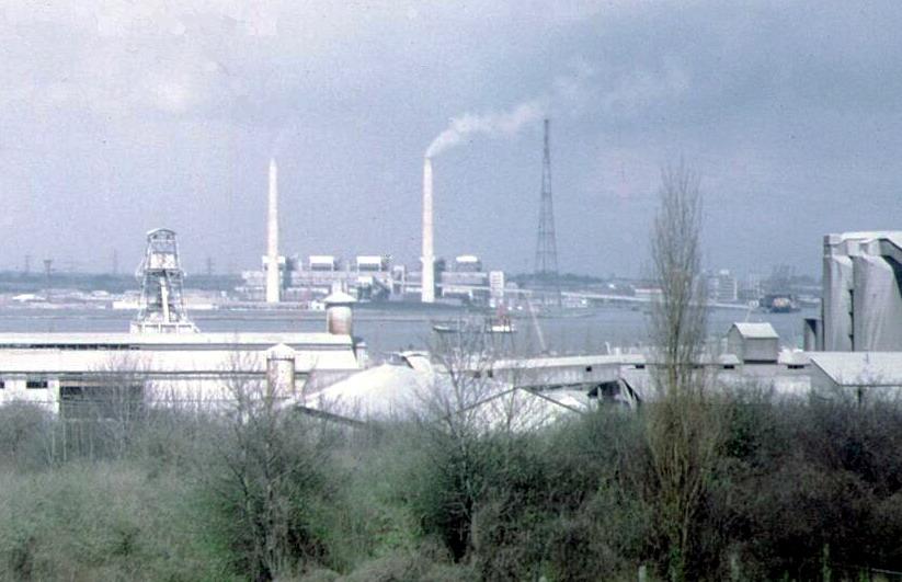
West Thurrock Power Station
West Thurrock Power Station was a coal-fired power station on the River Thames at Stone Ness, West Thurrock in Essex. The station was at the northern end...
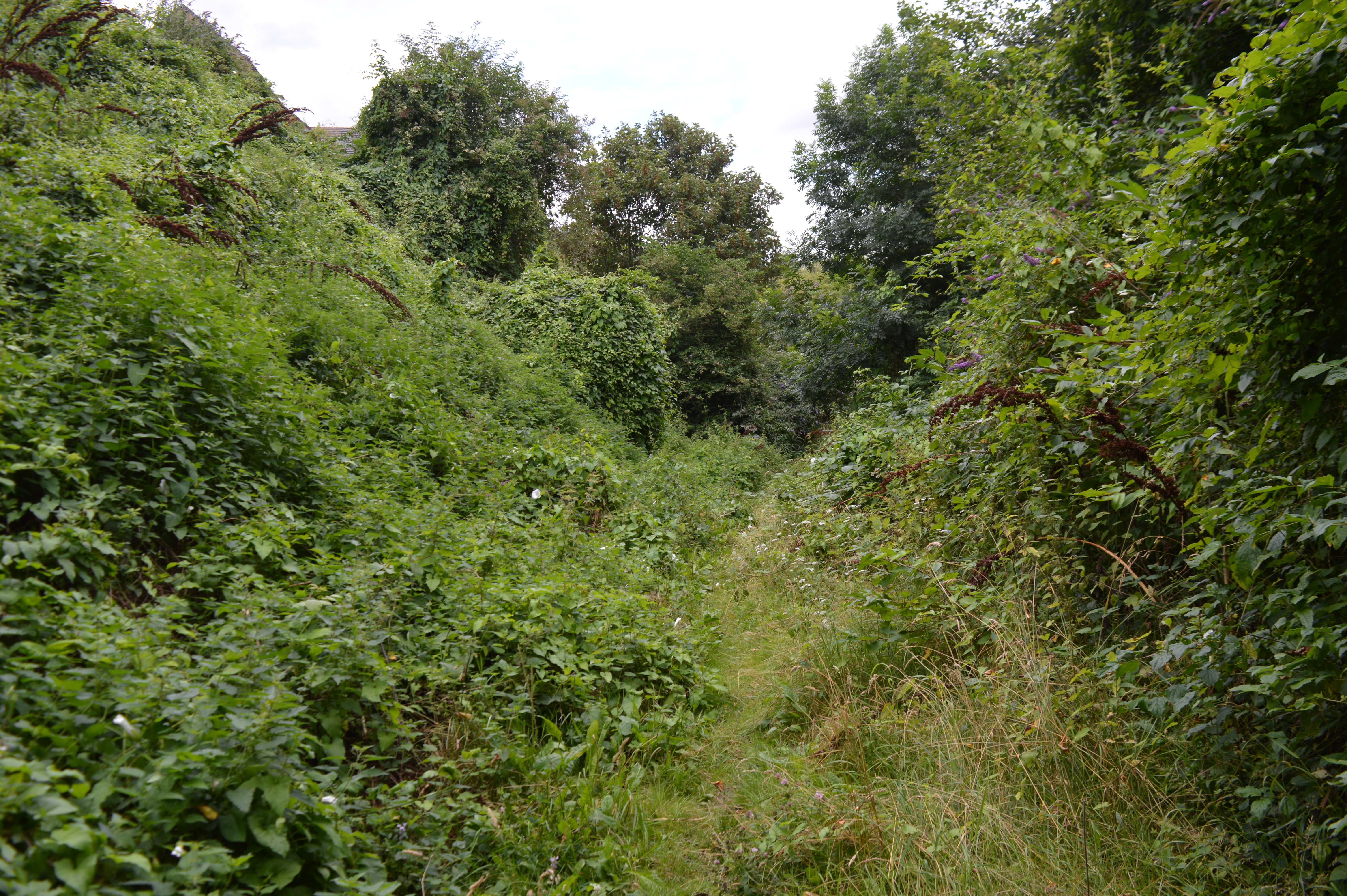
Lion Pit
Lion Pit is a 2.5-hectare (6.2-acre) geological Site of Special Scientific Interest in Grays in Essex. It is a Geological Conservation Review site, and...
Nearby Amenities
Located within 500m of 51.478908,0.279655Have you been to Thurrock, West?
Leave your review of Thurrock, West below (or comments, questions and feedback).