Braegrum
Settlement in Perthshire
Scotland
Braegrum
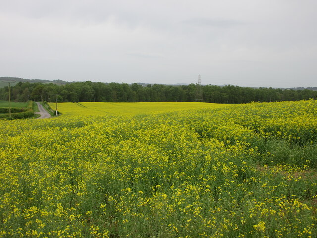
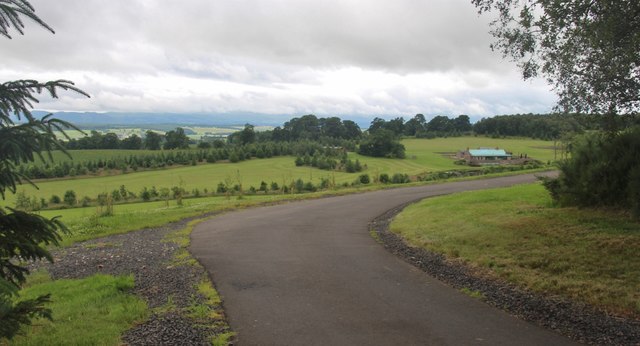
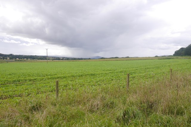
Braegrum is a small village located in the county of Perthshire, Scotland. Situated amidst picturesque landscapes and rolling hills, it is a charming rural community with a population of around 300 residents. The village is nestled alongside the River Tay, offering stunning views and a tranquil atmosphere.
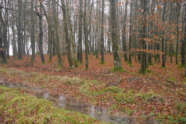
Braegrum is known for its rich history, dating back to the Roman times when it served as an important trading post. Today, remnants of this past can still be found in the form of ancient ruins and archaeological sites scattered throughout the area. The village is also renowned for its traditional Scottish architecture, with many stone cottages and historic buildings that have been well-preserved over the years.
Despite its small size, Braegrum boasts a close-knit community that takes pride in its local traditions and cultural heritage. The village hosts various events and festivals throughout the year, including Highland Games, ceilidhs, and traditional music concerts, which attract visitors from far and wide.
For outdoor enthusiasts, Braegrum offers ample opportunities for exploration and adventure. The surrounding countryside is perfect for hiking, cycling, and fishing, with numerous trails and fishing spots dotted around the area. The nearby Loch Rannoch is a popular destination for water sports and boating enthusiasts, while the surrounding hills provide breathtaking vistas for avid photographers and nature lovers alike.
Overall, Braegrum is a hidden gem in Perthshire, offering a peaceful and idyllic retreat for those seeking a break from the hustle and bustle of city life.
If you have any feedback on the listing, please let us know in the comments section below.
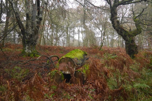
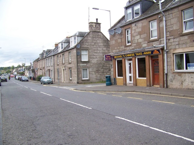
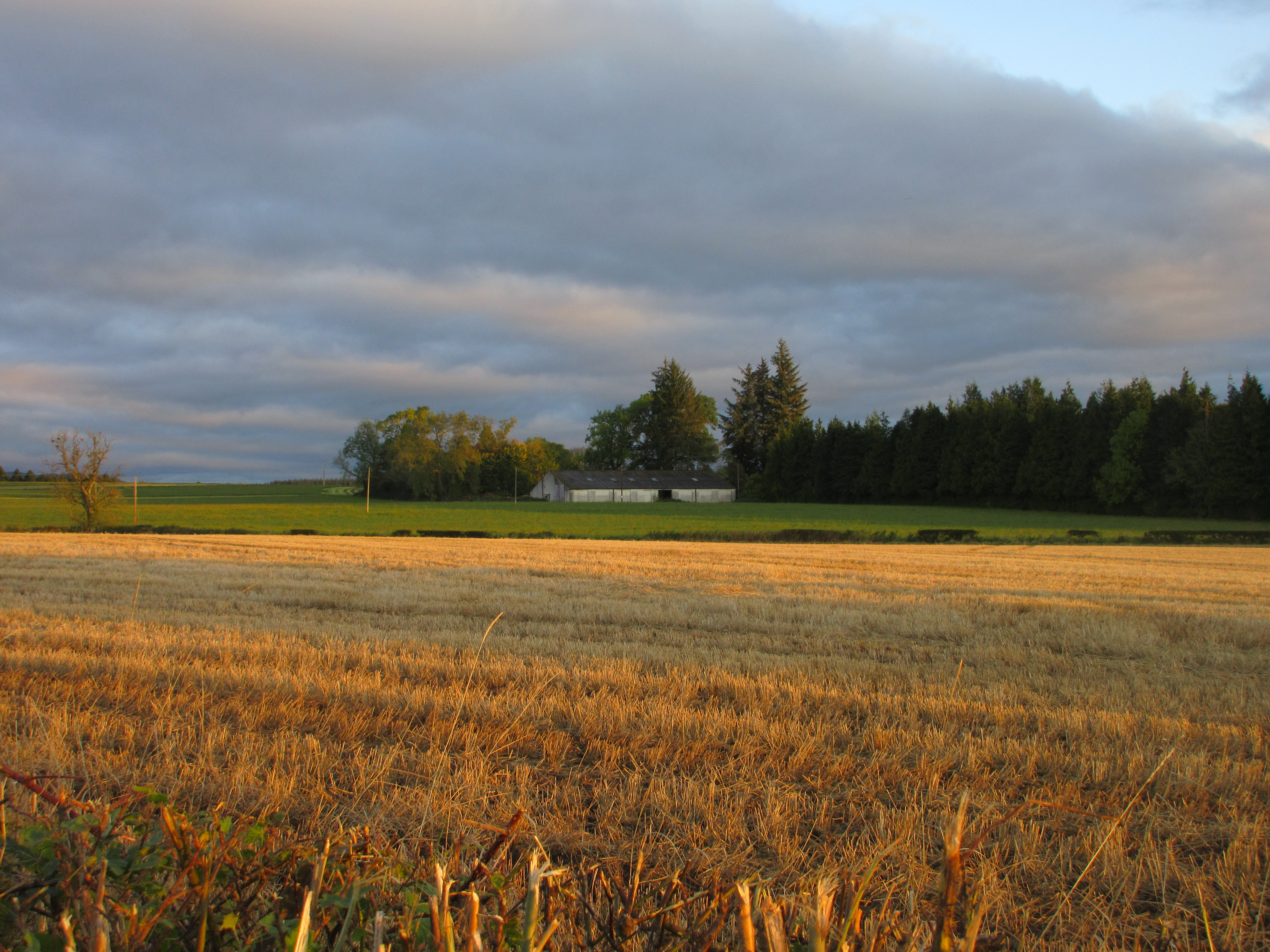
Braegrum Images
Images are sourced within 2km of 56.406617/-3.6220801 or Grid Reference NO0025. Thanks to Geograph Open Source API. All images are credited.


Braegrum is located at Grid Ref: NO0025 (Lat: 56.406617, Lng: -3.6220801)
Unitary Authority: Perth and Kinross
Police Authority: Tayside
What 3 Words
///factories.miles.outgrown. Near Methven, Perth & Kinross
Nearby Locations
Related Wikis

Strathearn distillery
Strathearn is a single malt Scotch whisky distillery near Methven in Scotland. == History == The distillery commenced production in 2013 under the ownership...
Methven railway station
Methven railway station served the village of Methven, Perth and Kinross, Scotland and was located between the city of Perth to the east and the town of...
Balgowan, Perth and Kinross
Balgowan is a village in Perth and Kinross, Scotland, approximately 5 miles (8 kilometres) west of Perth. The village is located near the junctions of...

Balgowan railway station
Balgowan railway station served the village of Balgowan, in the Scottish county of Perth and Kinross. == History == Opened on 21 May 1866 by the Crieff...
Methven, Perth and Kinross
Methven (; Scottish Gaelic: Meadhainnigh) is a large village in the Scottish region of Perth and Kinross, on the A85 road due west of the town of Perth...
Methven Junction railway station
Methven Junction railway station opened in 1866, following the extension of the already existing Perth, Almond Valley and Methven Railway line which terminated...
Battle of Methven
The Battle of Methven took place at Methven, Scotland on 19 June 1306, during the Wars of Scottish Independence. The battlefield was researched to be included...
RAF Findo Gask
RAF Findo Gask was a Royal Air Force satellite station located 7 mi (11 km) west of Perth, Scotland used during the Second World War. == History == RAF...
Nearby Amenities
Located within 500m of 56.406617,-3.6220801Have you been to Braegrum?
Leave your review of Braegrum below (or comments, questions and feedback).