Braeface

Settlement in Stirlingshire

Scotland

Braeface

Minor road at Easter Banknock
Minor road at Easter Banknock Credit: Steven Brown

Braeface is a small village located in Stirlingshire, Scotland. Situated just a few miles north of the town of Stirling, Braeface is nestled in the picturesque rolling hills and lush green countryside that characterizes this region of Scotland. The village is part of the Stirling council area and falls within the Gargunnock community council.

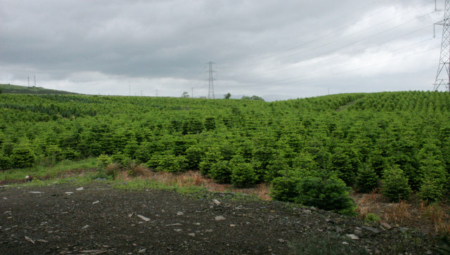
Braeface is known for its tranquil and idyllic setting, making it a popular destination for those seeking a peaceful retreat away from the hustle and bustle of city life. The village is surrounded by stunning natural beauty, with breathtaking views of the nearby Campsie Fells and the River Forth.

While Braeface itself is a small community, it offers a range of amenities to its residents and visitors. The village is home to a charming local pub, which serves as a gathering place for locals and tourists alike. Additionally, there are a few shops and services available, including a convenience store and a post office.

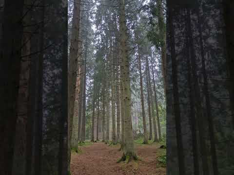
For those interested in outdoor activities, Braeface provides ample opportunities for exploration and adventure. The surrounding countryside offers numerous walking and hiking trails, allowing visitors to immerse themselves in nature. The nearby River Forth is also a popular spot for fishing enthusiasts.

Overall, Braeface is a serene and picturesque village that offers a peaceful escape for nature lovers and those seeking a slower pace of life. Its stunning surroundings and friendly community make it a delightful place to visit or call home.

If you have any feedback on the listing, please let us know in the comments section below.
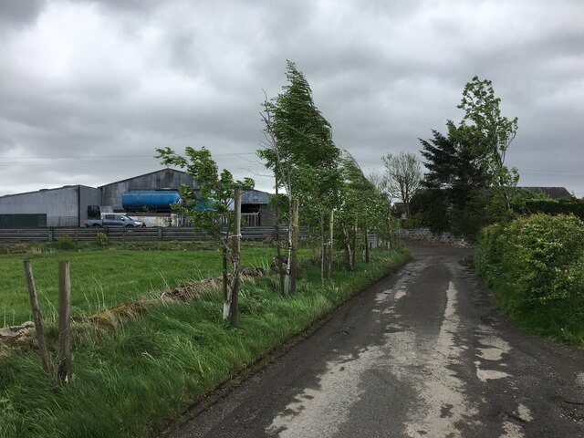
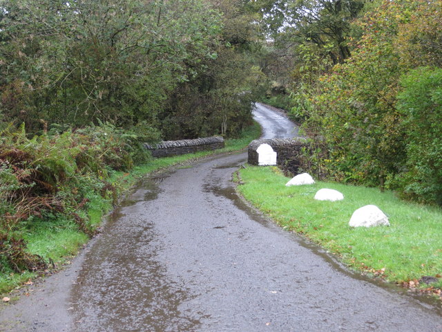
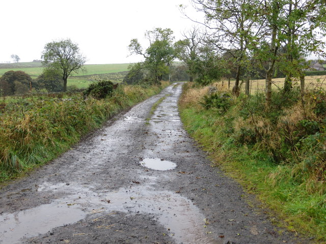
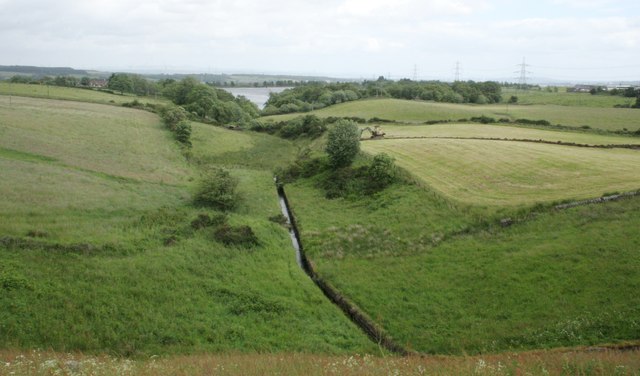
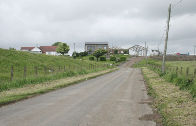
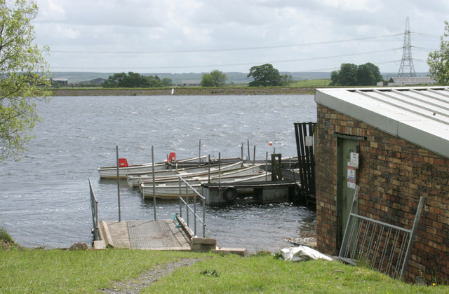
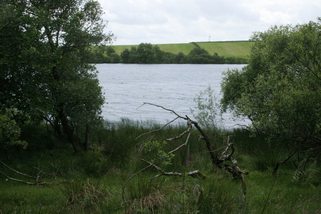
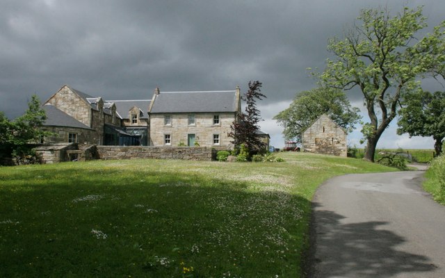
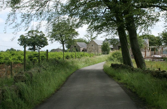
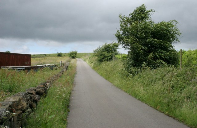
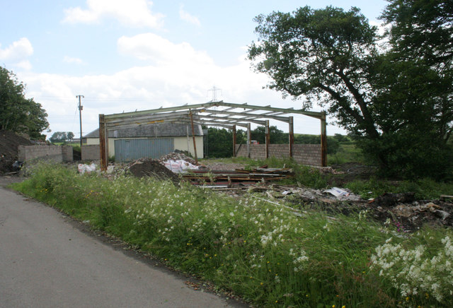
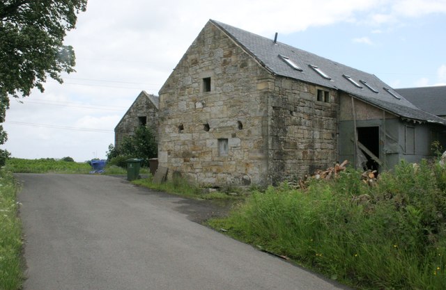
Braeface Images

Images are sourced within 2km of 55.998455/-3.948756 or Grid Reference NS7880. Thanks to Geograph Open Source API. All images are credited.

Minor road at Easter Banknock
Kelt Road between Braeface and Easter Kelt Looking north-eastward.
Kelt Road between Braeface and Easter Kelt
Looking north-eastward.
Track giving access to Wester Banknock Looking south-eastward.
Track giving access to Wester Banknock
Looking south-eastward.
Ordnance Survey Cut Mark This inverted mark can be for on a road bridge near Easter Wards.
The recorded details give a height of 107.951 metres above sea level.
For more detail see : <span class="nowrap"><a title="https://www.bench-marks.org.uk/bm171164" rel="nofollow ugc noopener" href="https://www.bench-marks.org.uk/bm171164">Link</a><img style="margin-left:2px;" alt="External link" title="External link - shift click to open in new window" src="https://s1.geograph.org.uk/img/external.png" width="10" height="10"/></span>
Ordnance Survey Cut Mark
This inverted mark can be for on a road bridge near Easter Wards. The recorded details give a height of 107.951 metres above sea level. For more detail see : LinkExternal link
Road crossing a bridge as it approaches Glenhead Looking north-westward.
Road crossing a bridge as it approaches Glenhead
Looking north-westward.
Track leading to Rashiehill Farm Looking south-westward.
Track leading to Rashiehill Farm
Looking south-westward.
Road to Bowridge
Road to Bowridge
Little Denny Burn The burn leads into Little Denny Reservoir in the distance.
Little Denny Burn
The burn leads into Little Denny Reservoir in the distance.
Little Denny Reservoir The Little Denny Burn flows through the hollow in the foreground.
Little Denny Reservoir
The Little Denny Burn flows through the hollow in the foreground.
Drumbowie The embankment on the left is part of the dam wall for Drumbowie Reservoir.
Drumbowie
The embankment on the left is part of the dam wall for Drumbowie Reservoir.
Drumbowie Reservoir Boats beside the boathouse on the northern shore of the reservoir.
Drumbowie Reservoir
Boats beside the boathouse on the northern shore of the reservoir.
Drumbowie Reservoir A glimpse of the reservoir through the trees which grow most of the way along the northern shore.
Drumbowie Reservoir
A glimpse of the reservoir through the trees which grow most of the way along the northern shore.
Glenhead Photographed during a brief sunny period on a mainly wet day.
Glenhead
Photographed during a brief sunny period on a mainly wet day.
Glenhead Approaching the farm from the northwest. A crop of Christmas trees is growing in the field on the left.
Glenhead
Approaching the farm from the northwest. A crop of Christmas trees is growing in the field on the left.
Road to the northwest of Glenhead
New farm building under construction It looks like the building process has come to a standstill.
New farm building under construction
It looks like the building process has come to a standstill.
Barns, Glenhead
Barns, Glenhead
Field of Christmas trees Beside Glenhead.
Field of Christmas trees
Beside Glenhead.
Show me another place!

Braeface is located at Grid Ref: NS7880 (Lat: 55.998455, Lng: -3.948756)

Unitary Authority: Falkirk

Police Authority: Forth Valley

What 3 Words

///doll.softest.necklaces. Near Banknock, Falkirk

Nearby Locations

Braeface

Related Wikis

Braeface

Braeface is a village in Falkirk, Scotland. == External links == Canmore - Braeface site record

Banknock railway station

Banknock railway station served the village of Banknock in Scotland. The station was served by trains on the lines from Kilsyth New to Bonnybridge. �...

Haggs

Haggs is a small village in the Falkirk council area of Scotland. The village is situated 2.1 miles (3.4 km) south-west of Bonnybridge, 4.6 miles (7.4...

Banknock

Banknock (Scottish Gaelic: Baile nan Cnoc) is a village within the Falkirk council area in Central Scotland. The village is 6.7 miles (10.8 km) west-southwest...

Related Videos

In Search of Bluebells

This is our first YouTube video. We are just trying it for fun so please excuse the poor video quality in this one, a new action ...

A NERVE-WRACKING arrival to UNDERWOOD CARAVAN PARK - Certified Location

Welcome to my Channel - In this video Karen & I eventually arrive Underwood Caravan Park a C&MC Certified Location the road ...

Nearby Amenities

Located within 500m of 55.998455,-3.948756
Design: barrel
Power: tower
Lat/Long: 55.9992613/-3.9531544
Design: barrel
Power: tower
Lat/Long: 56.0011174/-3.9471914
Cannerton Pit
Historic: mine
Lat/Long: 55.9949745/-3.9472787
Braeface
Place: hamlet
Lat/Long: 55.9988278/-3.9482349
Power: pole
Lat/Long: 55.9975217/-3.9557617
Power: pole
Lat/Long: 55.9982242/-3.9544701
Power: pole
Lat/Long: 55.9988346/-3.9552159
Power: pole
Lat/Long: 55.9994334/-3.9543305
Power: pole
Lat/Long: 55.9997817/-3.9531639
Power: pole
Lat/Long: 56.0000601/-3.9522661
Power: pole
Lat/Long: 56.0003502/-3.9513162
Power: pole
Lat/Long: 56.0006321/-3.9503871
Power: pole
Lat/Long: 56.0010666/-3.9489976
Power: pole
Lat/Long: 56.0014207/-3.9478164
Power: pole
Lat/Long: 56.0018506/-3.9469373
Power: pole
Lat/Long: 56.0023048/-3.9459686
Power: pole
Lat/Long: 56.0025431/-3.9469571
Power: pole
Lat/Long: 55.9989948/-3.9485507
Power: pole
Lat/Long: 55.9992616/-3.9488528
Power: pole
Lat/Long: 55.9998114/-3.9482362
Power: pole
Lat/Long: 56.000437/-3.94748
The data included in this document is from www.openstreetmap.org. The data is made available under ODbL.

Have you been to Braeface?

Leave your review of Braeface below (or comments, questions and feedback).