West Melton

Settlement in Yorkshire

England

West Melton

Small pond, RSPB Old Moor Near the western perimeter of this wetlands reserve in the Dearne Valley.
Small pond, RSPB Old Moor Credit: Christine Johnstone

West Melton is a small village situated in the metropolitan borough of Barnsley, within the historic county of Yorkshire, England. It is located approximately 7 miles to the northwest of the town of Rotherham and about 10 miles east of the city of Barnsley. The village lies in close proximity to the M1 motorway, providing convenient access to the surrounding areas.

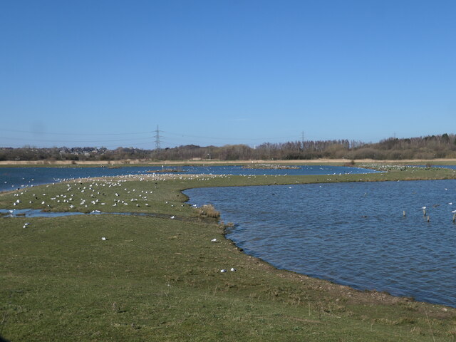
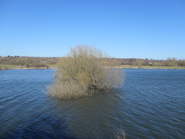
With a population of around 3,500 people, West Melton maintains a close-knit community atmosphere. The village is predominantly residential, characterized by a mix of traditional stone-built houses and more modern developments. The surrounding countryside offers picturesque views and opportunities for outdoor activities such as walking, hiking, and cycling.

West Melton is home to a few local amenities, including a primary school, a village hall, and a small number of shops and businesses. Public transportation links are also available, with regular bus services connecting the village to nearby towns and cities.

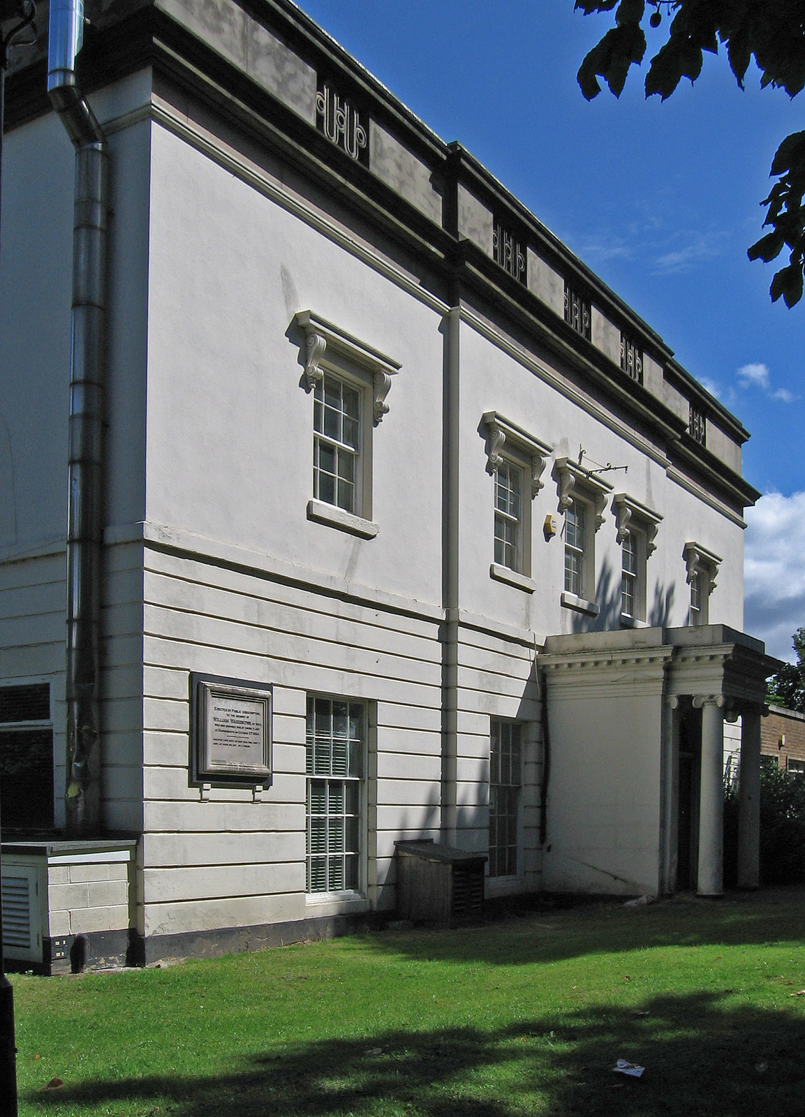
The village is steeped in history, with evidence of human settlement dating back to the Bronze Age. Several notable landmarks can be found in the vicinity, such as the historic All Saints Church, which dates back to the 12th century.

Overall, West Melton offers a peaceful and rural lifestyle while still providing access to essential amenities and nearby urban centers. Its scenic location and historical significance make it an attractive place to live for those seeking a quieter setting in the heart of Yorkshire.

If you have any feedback on the listing, please let us know in the comments section below.

West Melton Images

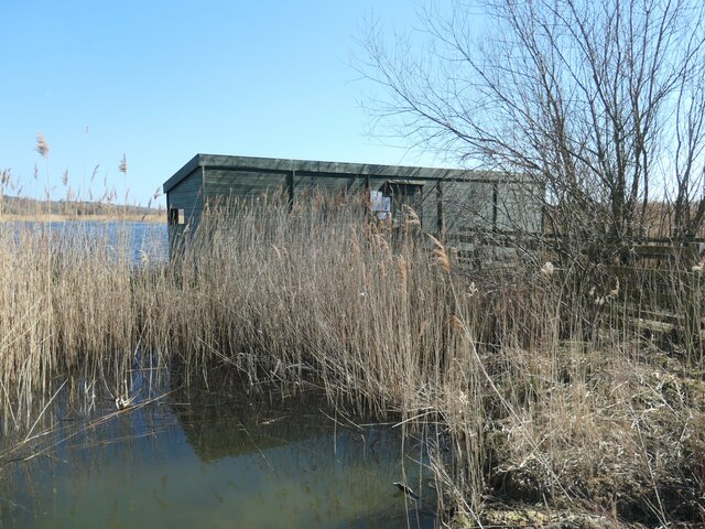
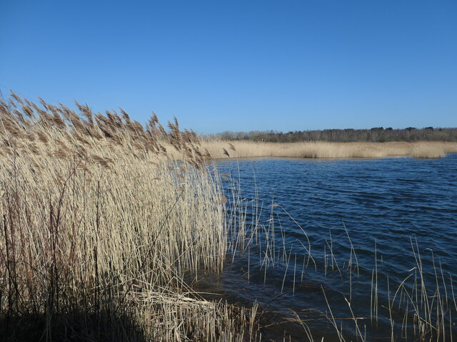
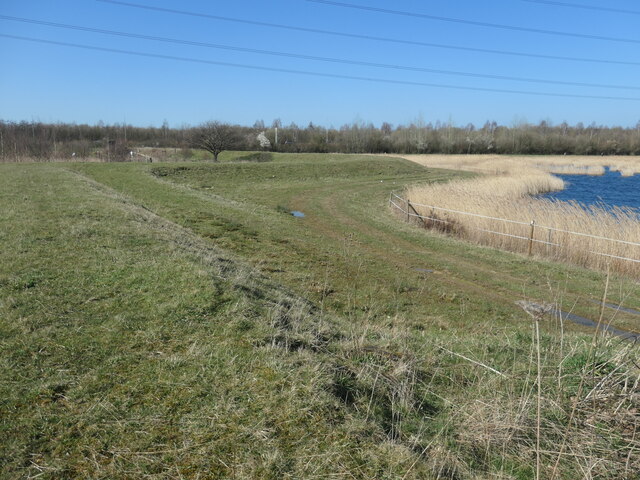
Images are sourced within 2km of 53.503496/-1.3623031 or Grid Reference SE4200. Thanks to Geograph Open Source API. All images are credited.
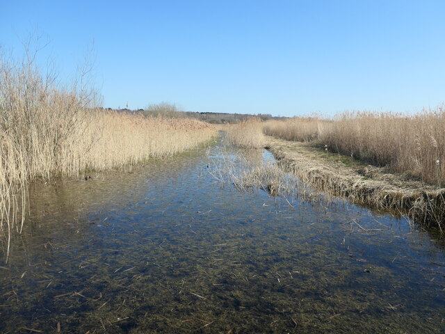
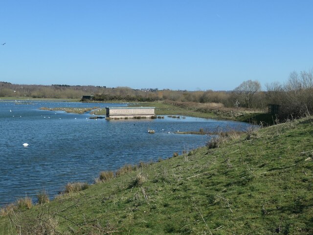
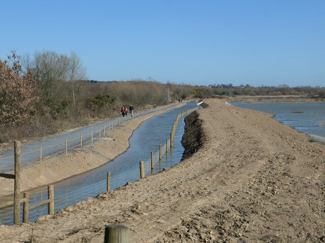
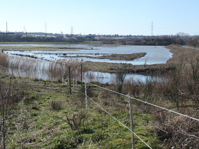
Small pond, RSPB Old Moor Near the western perimeter of this wetlands reserve in the Dearne Valley.
Small pond, RSPB Old Moor
Near the western perimeter of this wetlands reserve in the Dearne Valley.
Reedbeds, RSPB Old Moor This area used to be farmland prone to flooding.
Reedbeds, RSPB Old Moor
This area used to be farmland prone to flooding.
Under the wires, RSPB Old Moor This area used to be farmland prone to flooding.
Under the wires, RSPB Old Moor
This area used to be farmland prone to flooding.
Silver birch wood, RSPB Old Moor The concrete cones alongside the track look as if they could block an entrance, but why here?
Silver birch wood, RSPB Old Moor
The concrete cones alongside the track look as if they could block an entrance, but why here?
Open water between reedbeds, RSPB Old Moor By accident or design?
Open water between reedbeds, RSPB Old Moor
By accident or design?
Reedbed hide, RSPB Old Moor On a promontory at the edge of the reeds.
Reedbed hide, RSPB Old Moor
On a promontory at the edge of the reeds.
Reedbeds from the Reedbed hide At RSPB Old Moor, in the Dearne Valley.
Reedbeds from the Reedbed hide
At RSPB Old Moor, in the Dearne Valley.
Floodbank, RSPB Old Moor The reserve was created on farmland prone to flooding.
Floodbank, RSPB Old Moor
The reserve was created on farmland prone to flooding.
Nesting wall, RSPB Old Moor Near the south shore of the Mere.
Nesting wall, RSPB Old Moor
Near the south shore of the Mere.
All change at Field Pool, RSPB Old Moor A new path has been opened along this side of the hedge, because the parallel one on the other side of the hedge has been damaged by floods. The fence in the water is designed to stop mammals predating birds on islands.
All change at Field Pool, RSPB Old Moor
A new path has been opened along this side of the hedge, because the parallel one on the other side of the hedge has been damaged by floods. The fence in the water is designed to stop mammals predating birds on islands.
Field Pool, from Field Pool West hide, RSPB Old Moor Brown with suspended sediment, after flooding.
Field Pool, from Field Pool West hide, RSPB Old Moor
Brown with suspended sediment, after flooding.
Installing new drains, RSPB Old Moor On the new path by Field Pool.
Installing new drains, RSPB Old Moor
On the new path by Field Pool.
Bank between the Mere and the wader scrape Occupied by many, many black headed gulls at RSPB Old Moor.
Bank between the Mere and the wader scrape
Occupied by many, many black headed gulls at RSPB Old Moor.
Tree on a former field boundary, RSPB Old Moor Now partly under water in Wath Ings. Seen from Wath Ings hide.
Tree on a former field boundary, RSPB Old Moor
Now partly under water in Wath Ings. Seen from Wath Ings hide.
Field Pool, from Field Pool East hide At RSPB Old Moor, in the Dearne valley.
Field Pool, from Field Pool East hide
At RSPB Old Moor, in the Dearne valley.
Knoll Beck Looking upstream [locally west]. The path forms part of the Trans Pennine Trail.
Knoll Beck
Looking upstream [locally west]. The path forms part of the Trans Pennine Trail.
Trans Pennine Trail, between the A6195 and the B6273 On the former route of a railway.
Trans Pennine Trail, between the A6195 and the B6273
On the former route of a railway.
Public footpath to Gypsy Marsh Gypsy Marsh is an RSPB reserve - meadow with fen at one end, dry grassland at the other. This path is shown on the large sale OS map surveyed in 1850, running east from the canal junction at Wombwell.
Public footpath to Gypsy Marsh
Gypsy Marsh is an RSPB reserve - meadow with fen at one end, dry grassland at the other. This path is shown on the large sale OS map surveyed in 1850, running east from the canal junction at Wombwell.
Show me another place!

West Melton is located at Grid Ref: SE4200 (Lat: 53.503496, Lng: -1.3623031)

Division: West Riding

Unitary Authority: Rotherham

Police Authority: South Yorkshire

What 3 Words

///paying.hush.birdcage. Near Wath upon Dearne, South Yorkshire

Related Wikis

West Melton

West Melton is a former mining village in the parish of Brampton Bierlow in South Yorkshire, England. It lies between Wath upon Dearne and Brampton Bierlow...

Wath marshalling yard

Wath marshalling yard, also known as Wath concentration yard (grid reference SE428017), was a large railway marshalling yard specifically designed for...

Wath Hall

Wath Hall is a former private residence and former municipal structure in Church Street, Wath upon Dearne, South Yorkshire, England. The hall, which was...

Brampton Bierlow

Brampton Bierlow, often known as Brampton, is a village and civil parish in the Metropolitan Borough of Rotherham, South Yorkshire, England. It is situated...

Nearby Amenities

Located within 500m of 53.503496,-1.3623031
Speed Camera
Lat/Long: 53.5069859/-1.3576636
Mini Roundabout
Direction: clockwise
Odbl: clean
Source: Bing
Lat/Long: 53.505139/-1.3557486
Barrier: stile
Lat/Long: 53.5032754/-1.3594252
Bus Stop
Barnsley Road/Victoria Road
Alt Name: Barnsley Road/Victoria Road
Naptan AltCommonName: Barnsley Road/Victoria Road
Naptan AtcoCode: 370035002
Naptan Bearing: N
Naptan CommonName: Barnsley Road/Victoria Road
Naptan Indicator: 35002
Naptan Landmark: ALLOTMENTS
Naptan PlusbusZoneRef: ROTHCEN
Naptan Street: Barnsley Road
Naptan Verified: no
Source: naptan_import
Lat/Long: 53.5066804/-1.3571642
Bus Stop
Melton High Street/Oak Lea Avenue
Alt Name: Melton High Street/Oak Lea Avenue
Naptan AltCommonName: Melton High Street/Oak Lea Avenue
Naptan AtcoCode: 370031135
Naptan Bearing: N
Naptan CommonName: Melton High Street/Oak Lea Avenue
Naptan Indicator: 31135
Naptan Landmark: THE PLOUGH PUB
Naptan PlusbusZoneRef: ROTHCEN
Naptan Street: Melton High Street
Naptan Verified: no
Source: naptan_import
Lat/Long: 53.5036184/-1.3611155
Bus Stop
Brampton Road/Firth Road
Alt Name: Brampton Road/Firth Road
Naptan AltCommonName: Brampton Road/Firth Road
Naptan AtcoCode: 370031189
Naptan Bearing: NW
Naptan CommonName: Brampton Road/Firth Road
Naptan Indicator: 31189
Naptan Landmark: 31189
Naptan PlusbusZoneRef: ROTHCEN
Naptan Street: Brampton Road
Naptan Verified: no
Source: naptan_import
Lat/Long: 53.5032985/-1.3668797
Bus Stop
Christchurch Road/Brampton Road
Naptan AtcoCode: 370031195
Naptan Bearing: SW
Naptan CommonName: Christchurch Road/Brampton Road
Naptan Indicator: 31195
Naptan Landmark: 31195
Naptan PlusbusZoneRef: ROTHCEN
Naptan Street: Christchurch Road
Naptan Verified: no
Source: naptan_import
Lat/Long: 53.5047795/-1.3681694
Bus Stop
Brampton Road/Christchurch Road
Naptan AtcoCode: 370030558
Naptan Bearing: NW
Naptan CommonName: Brampton Road/Christchurch Road
Naptan Indicator: 30558
Naptan Landmark: 30558
Naptan PlusbusZoneRef: ROTHCEN
Naptan Street: Brampton Road
Naptan Verified: no
Source: naptan_import
Lat/Long: 53.5044229/-1.3687326
Bus Stop
Firth Road/Bramley Way
Naptan AtcoCode: 370030559
Naptan Bearing: N
Naptan CommonName: Firth Road/Bramley Way
Naptan Indicator: 30559
Naptan Landmark: S.LIGHT NO. 8
Naptan PlusbusZoneRef: ROTHCEN
Naptan Street: Firth Road
Naptan Verified: no
Source: naptan_import
Lat/Long: 53.501891/-1.3692828
Bus Stop
Firth Road/Bramble Way
Naptan AtcoCode: 370030561
Naptan Bearing: N
Naptan CommonName: Firth Road/Bramble Way
Naptan Indicator: 30561
Naptan Landmark: S.LIGHT NO. 5/SCHOOL
Naptan PlusbusZoneRef: ROTHCEN
Naptan Street: Firth Road
Naptan Verified: no
Source: naptan_import
Lat/Long: 53.5019481/-1.3681964
Bus Stop
Melton High Street/Melton Green
Alt Name: Melton High Street/Melton Green
Naptan AltCommonName: Melton High Street/Melton Green
Naptan AtcoCode: 370030562
Naptan Bearing: NE
Naptan CommonName: Melton High Street/Melton Green
Naptan Indicator: 30562
Naptan Landmark: Church
Naptan PlusbusZoneRef: ROTHCEN
Naptan Street: Melton High Street
Naptan Verified: no
Source: naptan_import
Lat/Long: 53.5031218/-1.3657667
Bus Stop
Melton High Street/Barnsley Road
Naptan AtcoCode: 370030566
Naptan Bearing: SW
Naptan CommonName: Melton High Street/Barnsley Road
Naptan Indicator: 30566
Naptan Landmark: 30566
Naptan PlusbusZoneRef: ROTHCEN
Naptan Street: Melton High Street
Naptan Verified: no
Source: naptan_import
Lat/Long: 53.5047706/-1.356394
Bus Stop
Masefield Road/Christchurch Road
Naptan AtcoCode: 370030567
Naptan Bearing: NW
Naptan CommonName: Masefield Road/Christchurch Road
Naptan Indicator: 30567
Naptan Landmark: LALLYS GROCERS
Naptan PlusbusZoneRef: ROTHCEN
Naptan Street: Masefield Road
Naptan Verified: no
Source: naptan_import
Lat/Long: 53.5068219/-1.3634648
Bus Stop
Christchurch Road/Masefield Road
Naptan AtcoCode: 370030568
Naptan Bearing: N
Naptan CommonName: Christchurch Road/Masefield Road
Naptan Indicator: 30568
Naptan Landmark: WATH W.M.C.
Naptan PlusbusZoneRef: ROTHCEN
Naptan Street: Christchurch Road
Naptan Verified: no
Source: naptan_import
Lat/Long: 53.5063025/-1.3638194
Bus Stop
Christchurch Road/Coleridge Road
Alt Name: Christchurch Road/Coleridge Road
Naptan AltCommonName: Christchurch Road/Coleridge Road
Naptan AtcoCode: 370030569
Naptan Bearing: SW
Naptan CommonName: Christchurch Road/Coleridge Road
Naptan Indicator: 30569
Naptan Landmark: 30569
Naptan PlusbusZoneRef: ROTHCEN
Naptan Street: Christchurch Road
Naptan Verified: no
Source: naptan_import
Lat/Long: 53.5052046/-1.366972
Bus Stop
Barnsley Road/Victoria Road
Alt Name: Barnsley Road/Victoria Road
Naptan AltCommonName: Barnsley Road/Victoria Road
Naptan AtcoCode: 370030575
Naptan Bearing: N
Naptan CommonName: Barnsley Road/Victoria Road
Naptan Indicator: 30575
Naptan Landmark: WEST MELTON W.M.C.
Naptan PlusbusZoneRef: ROTHCEN
Naptan Street: Barnsley Road
Naptan Verified: no
Source: naptan_import
Lat/Long: 53.505986/-1.3567526
Christchurch Road/Brampton Road
Naptan AtcoCode: 370035703
Naptan Bearing: NE
Naptan BusStopType: CUS
Naptan CommonName: Christchurch Road/Brampton Road
Naptan Indicator: 35703
Naptan Landmark: 35703
Naptan PlusbusZoneRef: ROTHCEN
Naptan Street: Christchurch Road
Naptan Verified: no
Source: naptan_import
Lat/Long: 53.5048344/-1.3683495
Melton High Street/Oak Lea Avenue
Alt Name: Melton High Street/Oak Lea Avenue
Naptan AltCommonName: Melton High Street/Oak Lea Avenue
Naptan AtcoCode: 370035706
Naptan Bearing: N
Naptan BusStopType: CUS
Naptan CommonName: Melton High Street/Oak Lea Avenue
Naptan Indicator: 35706
Naptan Landmark: THE PLOUGH PUB
Naptan PlusbusZoneRef: ROTHCEN
Naptan Street: Melton High Street
Naptan Verified: no
Source: naptan_import
Lat/Long: 53.5034837/-1.3611477
Bus Stop
Christchurch Road/Coleridge Road
Alt Name: Christchurch Road/Coleridge Road
Naptan AltCommonName: Christchurch Road/Coleridge Road
Naptan AtcoCode: 370035764
Naptan Bearing: NE
Naptan CommonName: Christchurch Road/Coleridge Road
Naptan Indicator: 35764
Naptan Landmark: 35764
Naptan PlusbusZoneRef: ROTHCEN
Naptan Street: Christchurch Road
Naptan Verified: no
Source: naptan_import
Lat/Long: 53.5053311/-1.3670907
Bus Stop
Melton High Street/Barnsley Road
Naptan AtcoCode: 370035291
Naptan Bearing: NE
Naptan CommonName: Melton High Street/Barnsley Road
Naptan Indicator: 35291
Naptan Landmark: FLORISTS SHOP
Naptan PlusbusZoneRef: ROTHCEN
Naptan Street: Melton High Street
Naptan Verified: no
Source: naptan_import
Lat/Long: 53.5049323/-1.3563765
Melton High Street/Melton Green
Alt Name: Melton High Street/Melton Green
Naptan AltCommonName: Melton High Street/Melton Green
Naptan AtcoCode: 370035879
Naptan Bearing: N
Naptan BusStopType: CUS
Naptan CommonName: Melton High Street/Melton Green
Naptan Indicator: 35879
Naptan Landmark: 35879
Naptan PlusbusZoneRef: ROTHCEN
Naptan Street: Melton High Street
Naptan Verified: no
Source: naptan_import
Lat/Long: 53.5030758/-1.3655714
West Melton
Is In: South Yorkshire, England, UK
Place: village
Wikidata: Q7985882
Lat/Long: 53.5036149/-1.3647978
Power: tower
Lat/Long: 53.5053789/-1.3682602
Power: tower
Lat/Long: 53.5065031/-1.3642896
Power: tower
Lat/Long: 53.5075683/-1.3604368
Post Office
Winterwell Post Office
Addr City: Rotherham
Addr Country: GB
Addr Housenumber: 59
Addr Postcode: S63 6RQ
Addr Street: Melton High Street
Addr Suburb: West Melton
Brand: Post Office
Brand Wikidata: Q1783168
Opening Hours: Mo-Th 09:00-13:00,14:00-17:30; Fr,Sa 09:00-13:00
Ref Pol Id: 14858
Website: https://www.postoffice.co.uk/branch-finder/4223403/winterwell
Lat/Long: 53.5042283/-1.3579159
Post Box
Collection Times: Mo-Fr 17:00; Sa 11:00
Post Box Type: pillar
Ref: S63 87
Royal Cypher: EIIR
Royal Cypher Wikidata: Q33102113
Lat/Long: 53.5043192/-1.3579378
Barrier: kissing_gate
Lat/Long: 53.5034667/-1.3614961
Barrier: stile
Lat/Long: 53.5017642/-1.3600676
Barrier: stile
Lat/Long: 53.50303/-1.3608733
Generator Method: photovoltaic
Generator Output Electricity: yes
Generator Source: solar
Generator Type: solar_photovoltaic_panel
Location: roof
Power: generator
Lat/Long: 53.5026055/-1.3594401
Generator Method: photovoltaic
Generator Output Electricity: yes
Generator Source: solar
Generator Type: solar_photovoltaic_panel
Location: roof
Power: generator
Lat/Long: 53.5029023/-1.3617227
Generator Method: photovoltaic
Generator Output Electricity: yes
Generator Source: solar
Generator Type: solar_photovoltaic_panel
Location: roof
Power: generator
Lat/Long: 53.5033553/-1.3670361
Generator Method: photovoltaic
Generator Output Electricity: yes
Generator Source: solar
Generator Type: solar_photovoltaic_panel
Location: roof
Power: generator
Lat/Long: 53.5029246/-1.3665292
Generator Method: photovoltaic
Generator Output Electricity: yes
Generator Source: solar
Generator Type: solar_photovoltaic_panel
Location: roof
Power: generator
Lat/Long: 53.501275/-1.3684738
Generator Method: photovoltaic
Generator Output Electricity: yes
Generator Source: solar
Generator Type: solar_photovoltaic_panel
Location: roof
Power: generator
Lat/Long: 53.5014234/-1.3679481
Generator Method: photovoltaic
Generator Output Electricity: yes
Generator Source: solar
Generator Type: solar_photovoltaic_panel
Location: roof
Power: generator
Lat/Long: 53.5019131/-1.3679722
Generator Method: photovoltaic
Generator Output Electricity: yes
Generator Source: solar
Generator Type: solar_photovoltaic_panel
Location: roof
Power: generator
Lat/Long: 53.5018382/-1.368404
Generator Method: photovoltaic
Generator Output Electricity: yes
Generator Source: solar
Generator Type: solar_photovoltaic_panel
Location: roof
Power: generator
Lat/Long: 53.5017823/-1.3685811
Generator Method: photovoltaic
Generator Output Electricity: yes
Generator Source: solar
Generator Type: solar_photovoltaic_panel
Location: roof
Power: generator
Lat/Long: 53.505702/-1.366379
Generator Method: photovoltaic
Generator Output Electricity: yes
Generator Source: solar
Generator Type: solar_photovoltaic_panel
Location: roof
Power: generator
Lat/Long: 53.5071185/-1.3657352
Post Box
Collection Times: Mo-Fr 09:00; Sa 07:00
Post Box Type: pillar
Ref: S63 287D
Royal Cypher: EIIR
Royal Cypher Wikidata: Q33102113
Lat/Long: 53.5068355/-1.363904
The data included in this document is from www.openstreetmap.org. The data is made available under ODbL.

Have you been to West Melton?

Leave your review of West Melton below (or comments, questions and feedback).