West Knockbartrock

Settlement in Renfrewshire

Scotland

West Knockbartrock

North Kaim and Kaim Dam from the air On the hill between Lochwinnoch and Kilmacolm. Seen on departure from Glasgow Airport.
North Kaim and Kaim Dam from the air Credit: Thomas Nugent

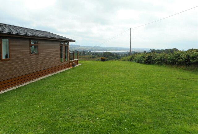
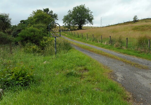
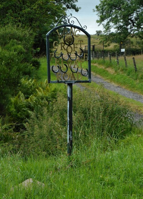
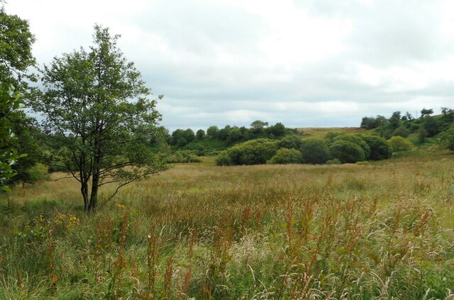
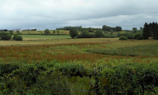
West Knockbartrock is a small rural settlement located in the county of Renfrewshire, Scotland. Situated in the western part of the county, it lies approximately 10 miles southwest of the town of Paisley and 20 miles west of the city of Glasgow. The area is characterized by its picturesque countryside landscapes, surrounded by rolling hills and lush green fields.

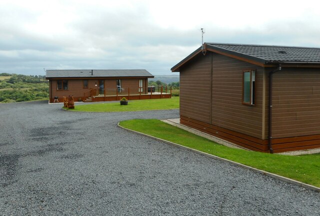
The community of West Knockbartrock is predominantly residential, with a small population of around 200 inhabitants. The settlement is known for its peaceful and quiet environment, offering residents a serene countryside living experience. The houses in the area are mainly traditional stone cottages, adding to the charm and character of the village.

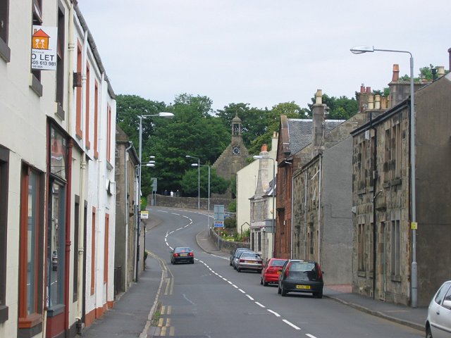
Despite its rural location, West Knockbartrock benefits from good transportation links. The nearby A761 road provides easy access to surrounding towns and cities, while the nearby Kilbarchan railway station offers regular train services to Paisley and Glasgow.

The village itself does not have many amenities, with only a small local shop catering to the basic needs of residents. However, a wider range of amenities, including schools, supermarkets, and healthcare facilities, can be found in the nearby towns of Paisley and Johnstone.

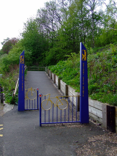
For those seeking outdoor activities, West Knockbartrock is situated close to several nature reserves and parks, offering opportunities for hiking, cycling, and wildlife observation. The scenic countryside also provides a peaceful retreat for those looking to escape the hustle and bustle of urban life.

If you have any feedback on the listing, please let us know in the comments section below.

West Knockbartrock Images

Images are sourced within 2km of 55.805014/-4.6341905 or Grid Reference NS3560. Thanks to Geograph Open Source API. All images are credited.

North Kaim and Kaim Dam from the air On the hill between Lochwinnoch and Kilmacolm. Seen on departure from Glasgow Airport.
North Kaim and Kaim Dam from the air
On the hill between Lochwinnoch and Kilmacolm. Seen on departure from Glasgow Airport.
Lochview Lodges Beechwood on the left, Oakwood on the right.
Lochview Lodges
Beechwood on the left, Oakwood on the right.
Lochview Lodges Oakwood, one of two holiday lodges, and the view towards Castle Semple Loch in the distance.
Lochview Lodges
Oakwood, one of two holiday lodges, and the view towards Castle Semple Loch in the distance.
Road to Lang Croft With a name sign made using horseshoes.
Road to Lang Croft
With a name sign made using horseshoes.
Lang Croft sign Name sign for Lang Croft, made using horseshoes. It reads:

LANG
CROFT
PRIVATE
ROAD
Lang Croft sign
Name sign for Lang Croft, made using horseshoes. It reads: LANG CROFT PRIVATE ROAD
Rough grassland With lots of flowering dock plants.
Rough grassland
With lots of flowering dock plants.
Rough grassland With lots of flowering dock plants. The trees in the centre of the image follow the Kaim Burn. Sandieston Farm is top left.
Rough grassland
With lots of flowering dock plants. The trees in the centre of the image follow the Kaim Burn. Sandieston Farm is top left.
National Cycle Network Route 7 The ramp up to the route from the visitor centre at Castle Semple Loch, which is within the Clyde Muirshiel Regional Park.
National Cycle Network Route 7
The ramp up to the route from the visitor centre at Castle Semple Loch, which is within the Clyde Muirshiel Regional Park.
Castle Semple Visitor Centre A water sports complex on the banks of the loch which is within Clyde Muirshiel Regional Park.
Castle Semple Visitor Centre
A water sports complex on the banks of the loch which is within Clyde Muirshiel Regional Park.
Castle Semple Loch By the visitor centre where various craft can be rented.
Castle Semple Loch
By the visitor centre where various craft can be rented.
High Street, Lochwinnoch From the zebra crossing at the cross.
High Street, Lochwinnoch
From the zebra crossing at the cross.
Calder Street Runs from the cross at High Street towards the River Calder.
Calder Street
Runs from the cross at High Street towards the River Calder.
The Junction At the corner of High Street and Church Street.
The Junction
At the corner of High Street and Church Street.
Church Street, Lochwinnoch The tower of one of the two churches on the street is visible in this photo which was taken from High Street.
Church Street, Lochwinnoch
The tower of one of the two churches on the street is visible in this photo which was taken from High Street.
Lochwinnoch War Memorial Just off Church Street.
Lochwinnoch War Memorial
Just off Church Street.
Lochwinnoch War Memorial A Celtic cross in a picturesque setting near Church Street.
Lochwinnoch War Memorial
A Celtic cross in a picturesque setting near Church Street.
Church Street, Lochwinnoch Showing one of the two churches on the street and the former Struthers soft drinks offices. Struthers was once a big name in soft drinks in the west of Scotland.
Church Street, Lochwinnoch
Showing one of the two churches on the street and the former Struthers soft drinks offices. Struthers was once a big name in soft drinks in the west of Scotland.
Former Struthers office On Church Street. Struthers was once a big name in soft drinks in the west of Scotland.
Former Struthers office
On Church Street. Struthers was once a big name in soft drinks in the west of Scotland.
Show me another place!

West Knockbartrock is located at Grid Ref: NS3560 (Lat: 55.805014, Lng: -4.6341905)

Unitary Authority: Renfrewshire

Police Authority: Renfrewshire and Inverclyde

What 3 Words

///blinking.shovels.pampered. Near Lochwinnoch, Renfrewshire

Related Wikis

St John's Kirk, Lochwinnoch

St John's Kirk, also known as St Winnock's Church and, colloquially, Auld Simon (Old Simon), is a former church building in Lochwinnoch, Renfrewshire,...

Castle Semple Rowing Club

Castle Semple Rowing Club is a rowing club on the Castle Semple Loch, based at Lochwinnoch, Renfrewshire, Central Lowlands, Scotland. The club is affiliated...

Clyde Muirshiel Regional Park

Clyde Muirshiel Regional Park is the collective name for areas of countryside set aside for conservation and recreation on the South Clyde estuary in Scotland...

Lochwinnoch (loop) railway station

Lochwinnoch railway station was a railway station serving the village of Lochwinnoch, Renfrewshire, Scotland. The station was part of the Dalry and North...

Lochwinnoch

Lochwinnoch (; Scots: Lochineuch, Scottish Gaelic: Loch Uinneach) is a village in the council area and historic county of Renfrewshire in the west central...

Belltrees Peel

Belltrees Peel is a medieval tower situated on a peninsula in Castle Semple Loch in Renfrewshire, Scotland, on which was once an island. == History... ==

River Calder, Renfrewshire

The River Calder (Scottish Gaelic: Caladar) is a river mainly within Renfrewshire, Scotland. == River course == The river rises in the hills to the west...

Lochwinnoch railway station

Lochwinnoch railway station is a railway station serving the village of Lochwinnoch, Renfrewshire, Scotland. The station is managed by ScotRail and is...

Nearby Amenities

Located within 500m of 55.805014,-4.6341905
Power: pole
Lat/Long: 55.8029136/-4.6404873
Power: pole
Lat/Long: 55.8033128/-4.639679
Power: pole
Lat/Long: 55.8036641/-4.6389395
Power: pole
Lat/Long: 55.8040294/-4.6382333
Power: pole
Lat/Long: 55.8042542/-4.6375333
Power: pole
Lat/Long: 55.8044953/-4.6368209
Power: pole
Lat/Long: 55.8047096/-4.6358001
Power: pole
Lat/Long: 55.8047705/-4.6355085
Power: pole
Lat/Long: 55.8022708/-4.6395207
Power: pole
Lat/Long: 55.8044368/-4.6299193
Power: pole
Lat/Long: 55.8044801/-4.6287589
Power: pole
Lat/Long: 55.8045117/-4.6275736
Power: pole
Lat/Long: 55.8043396/-4.6265382
Power: pole
Lat/Long: 55.8040083/-4.6293214
Power: pole
Lat/Long: 55.8035446/-4.6299005
Power: pole
Lat/Long: 55.8029756/-4.6305921
Power: pole
Lat/Long: 55.8023879/-4.6313233
Power: pole
Lat/Long: 55.8018996/-4.631917
Power: pole
Lat/Long: 55.8013224/-4.6326337
Power: pole
Lat/Long: 55.8008458/-4.6333211
The data included in this document is from www.openstreetmap.org. The data is made available under ODbL.

Have you been to West Knockbartrock?

Leave your review of West Knockbartrock below (or comments, questions and feedback).