End Green, West
Settlement in Hampshire Basingstoke and Deane
England
End Green, West
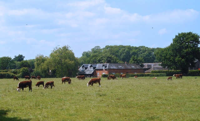
End Green is a picturesque village located in the western part of Hampshire, England. Situated amidst the rolling hills and lush green countryside, it offers a tranquil and idyllic setting for its residents. With a population of around 500 people, this close-knit community prides itself on its strong sense of community spirit and friendly atmosphere.
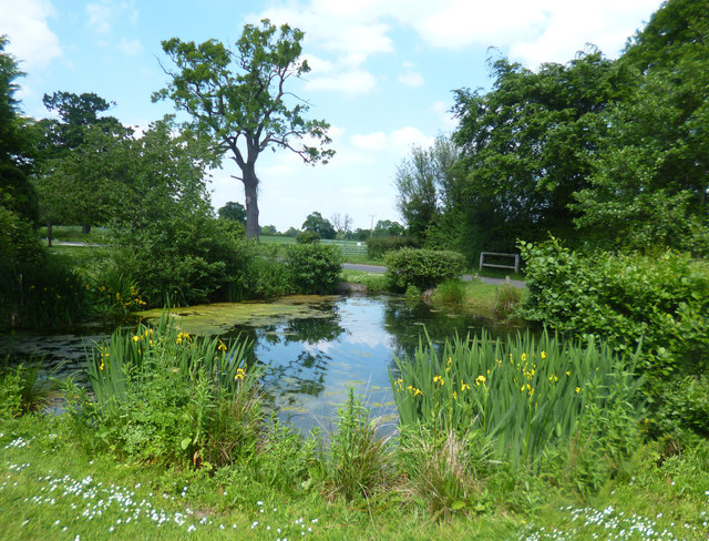
The village of End Green is known for its charming thatched cottages, which add to its rustic appeal. The surrounding landscape is dotted with meadows and woodlands, providing ample opportunities for outdoor activities such as hiking, cycling, and picnicking. The village is also home to a small but well-maintained park, offering a peaceful retreat for locals and visitors alike.
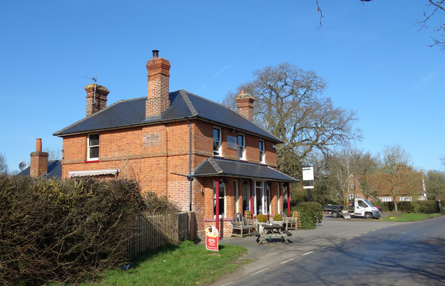
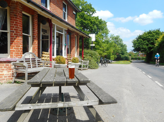
In terms of amenities, End Green boasts a local pub, The Green Inn, which serves as a popular meeting place for villagers. Additionally, there is a village hall that hosts various events and gatherings throughout the year, fostering a sense of togetherness within the community.
While End Green may be a secluded haven, it is conveniently located within close proximity to larger towns. The bustling market town of West Hampshire is just a short drive away, providing residents with access to a wider range of shops, schools, and healthcare facilities.
Overall, End Green is a charming and peaceful village that offers a serene lifestyle amidst the stunning Hampshire countryside. Its strong community spirit and natural beauty make it a desirable place to live for those seeking a tranquil retreat.
If you have any feedback on the listing, please let us know in the comments section below.
End Green, West Images
Images are sourced within 2km of 51.349515/-1.042991 or Grid Reference SU6661. Thanks to Geograph Open Source API. All images are credited.


End Green, West is located at Grid Ref: SU6661 (Lat: 51.349515, Lng: -1.042991)
Administrative County: Hampshire
District: Basingstoke and Deane
Police Authority: Hampshire
What 3 Words
///magnetic.spike.towels. Near Stratfield Mortimer, Berkshire
Nearby Locations
Related Wikis

Roman road from Silchester to Bath
The Roman road from Silchester to Bath connected Calleva Atrebatum (Silchester) with Aquae Sulis (Bath) via Spinae (Speen), Cunetio (near Marlborough)...

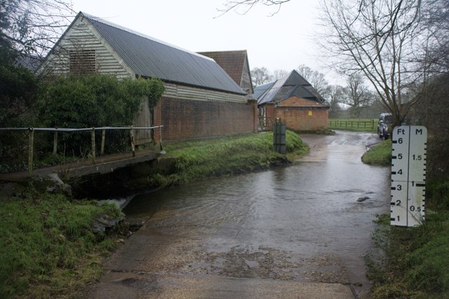
West End Brook
West End Brook is a small stream in southern England. It rises near the Hampshire village of Tadley. Its name is probably related to the parish, and village...

Bramley railway station (Hampshire)
Bramley railway station is on the Reading to Basingstoke Line in Bramley, Hampshire, England. It is 46 miles 41 chains (74.9 km) from London Paddington...
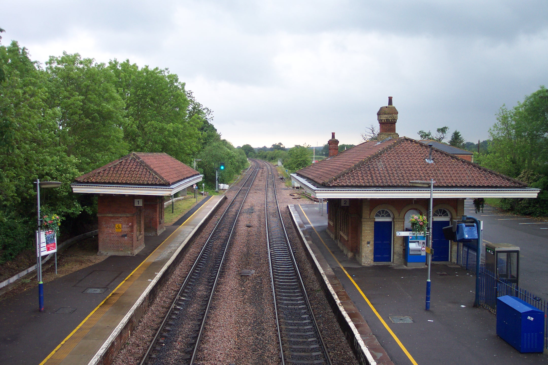
Mortimer railway station
Mortimer railway station is a railway station in the village of Stratfield Mortimer in the county of Berkshire in England. It is 43 miles 14 chains (69...

Bramley, Hampshire
Bramley is a village and parish in Hampshire, England. In the 2001 census it had a population of 3,348. It has a village shop, bakery, estate agency, pub...

Stratfield Mortimer
Stratfield Mortimer is a village and civil parish, just south of Reading, in the English county of Berkshire and unitary authority area of West Berkshire...

Bramley Green
Bramley Green is a small village in the civil parish of Bramley in the Basingstoke and Deane district of Hampshire, England. It lies approximately 4 miles...

Bow Brook, Hampshire
Bow Brook is a small river in the English county of Hampshire, which is a tributary of the River Loddon. Contributary streams rise near Ramsdell and Sherborne...
Nearby Amenities
Located within 500m of 51.349515,-1.042991Have you been to End Green, West?
Leave your review of End Green, West below (or comments, questions and feedback).