West End

Settlement in Surrey Elmbridge

England

West End

Prince of Wales, West End Chef & Brewer pub facing the green at West End.
Prince of Wales, West End Credit: Mark Percy

West End is a small community located in the city of Surrey, British Columbia, Canada. Situated in the southwestern part of the city, West End is bordered by King George Boulevard to the east and 128th Street to the west. It is part of the larger Newton area, which is known for its diverse population and vibrant cultural scene.

West End is primarily a residential neighborhood, characterized by a mix of single-family homes, townhouses, and apartment complexes. The area boasts a peaceful and family-friendly atmosphere, making it an attractive place for individuals and families looking for a close-knit community.

Residents of West End have access to a range of amenities and services. The neighborhood is home to several parks and green spaces, providing ample opportunities for outdoor activities and recreation. Nearby schools, including Westerman Elementary and Princess Margaret Secondary, cater to the educational needs of the community.

The location of West End offers convenient access to various shopping centers, including the nearby Newton Town Centre and Strawberry Hill Shopping Centre, which offer a variety of retail stores, restaurants, and entertainment options. The area is also well-served by public transportation, with several bus routes connecting West End to other parts of Surrey and the Greater Vancouver area.

Overall, West End in Surrey provides a peaceful and family-oriented living environment, with a range of amenities and services conveniently located within reach.

If you have any feedback on the listing, please let us know in the comments section below.
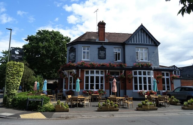
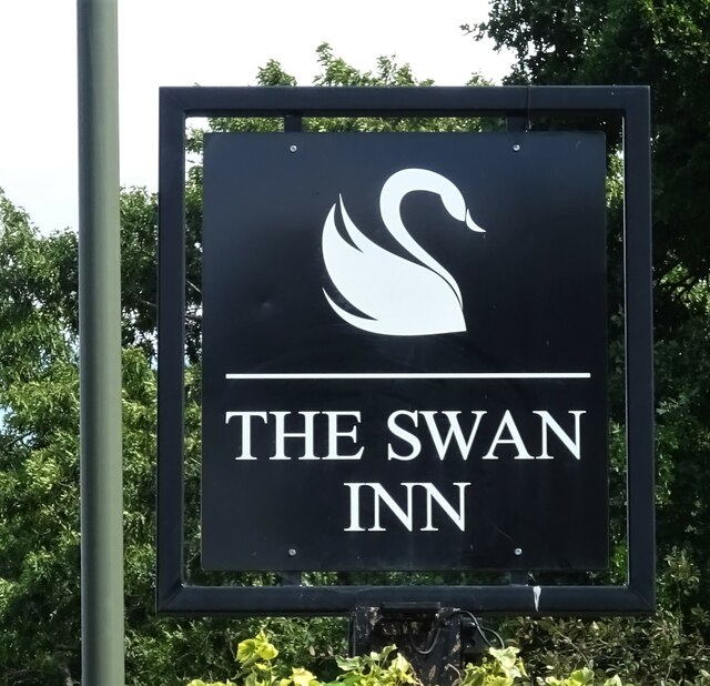
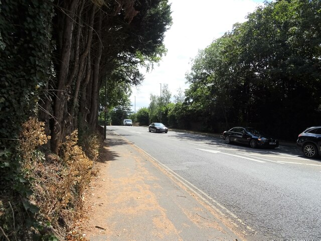
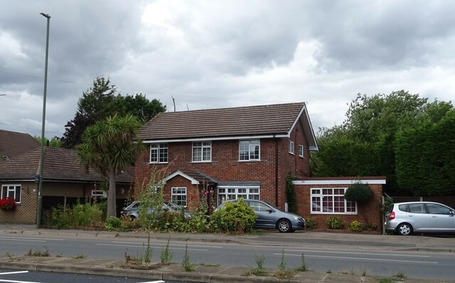
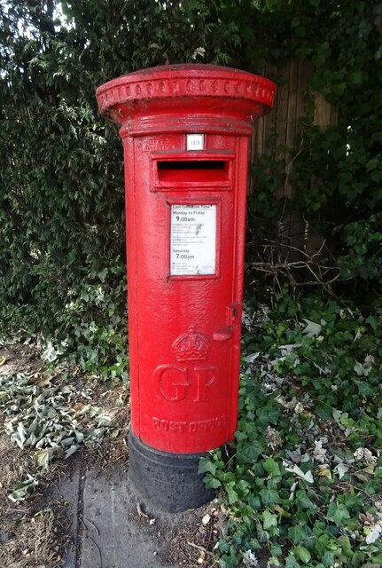
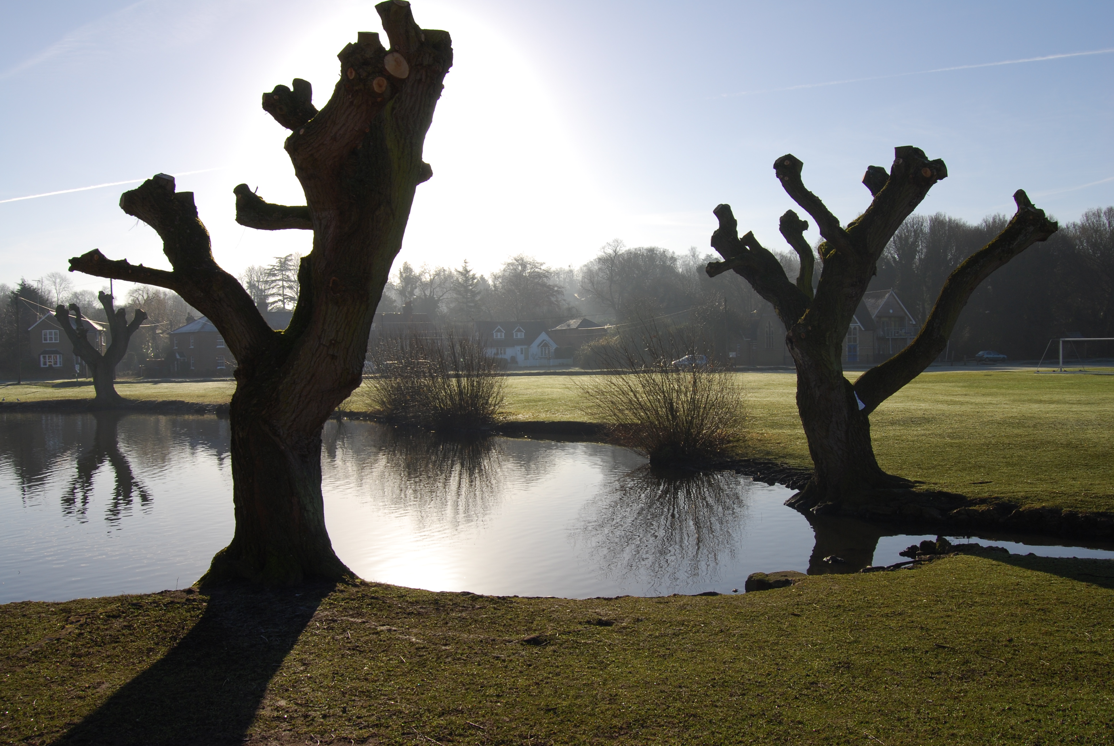
West End Images

Images are sourced within 2km of 51.362401/-0.38056763 or Grid Reference TQ1263. Thanks to Geograph Open Source API. All images are credited.

Prince of Wales, West End Chef & Brewer pub facing the green at West End.
Prince of Wales, West End
Chef & Brewer pub facing the green at West End.
Claremont Landscape Garden The gardens were originally created by the Duke of Newcastle but were made famous by Prince Leopold and his wife, Princess Charlotte, who loved the park. 

The three-acre grass amphitheatre on the far side of the lake dates from 1725 to a design of Charles Bridgeman (later Royal Gardener and designer of the Round Pond in Kensington Gardens). 

The gardens are now owned by the National Trust.
Claremont Landscape Garden
The gardens were originally created by the Duke of Newcastle but were made famous by Prince Leopold and his wife, Princess Charlotte, who loved the park. The three-acre grass amphitheatre on the far side of the lake dates from 1725 to a design of Charles Bridgeman (later Royal Gardener and designer of the Round Pond in Kensington Gardens). The gardens are now owned by the National Trust.
Claremont Landscape Garden Looking across the ornamental lake at the National Trust-owned garden.
Claremont Landscape Garden
Looking across the ornamental lake at the National Trust-owned garden.
The Swan Inn, Esher On Hare Lane.
See <a href="https://www.geograph.org.uk/photo/7243558">TQ1464 : Sign for the Swan Inn, Esher</a> for sign.
The Swan Inn, Esher
On Hare Lane. See TQ1464 : Sign for the Swan Inn, Esher for sign.
Sign for the Swan Inn, Esher See <a href="https://www.geograph.org.uk/photo/7243557">TQ1464 : The Swan Inn, Esher</a> for context.
Sign for the Swan Inn, Esher
See TQ1464 : The Swan Inn, Esher for context.
Bus stop on Milbourne Lane, Esher
Lodges on Claremont Drive, Esher
Claremont Drive (A244), Esher
The Bear Hotel, Esher On High Street.
See <a href="https://www.geograph.org.uk/photo/7243567">TQ1364 : Sign for the Bear Hotel, Esher</a> for sign.
The Bear Hotel, Esher
On High Street. See TQ1364 : Sign for the Bear Hotel, Esher for sign.
Sign for the Bear Hotel, Esher See <a href="https://www.geograph.org.uk/photo/7243565">TQ1364 : The Bear Hotel, Esher</a> for context.
Sign for the Bear Hotel, Esher
Esher Green Adult Learning Centre
Crossing on Lammas Lane, Esher
House on Esher Road, Hersham
Esher Road, Hersham A244 heading west.
Esher Road, Hersham
A244 heading west.
Service station on Esher Road, Hersham Petrol 181.9p
Diesel 191.9p.
Service station on Esher Road, Hersham
Petrol 181.9p Diesel 191.9p.
Car dealership on Esher Road, Hersham
The Barley Mow, Hersham On Molesey Road.
The Barley Mow, Hersham
On Molesey Road.
George V postbox on Claremont Lane, Esher Postbox No. KT10 54.
George V postbox on Claremont Lane, Esher
Postbox No. KT10 54.
Show me another place!

West End is located at Grid Ref: TQ1263 (Lat: 51.362401, Lng: -0.38056763)

Administrative County: Surrey

District: Elmbridge

Police Authority: Surrey

What 3 Words

///slick.onions.middle. Near Esher, Surrey

Related Wikis

West End, Esher

West End is a neighbourhood or locality of Esher, Surrey, England centred 0.8 miles (1.3 km) south-west of the town centre. West End comprises a large...

Claremont Landscape Garden

Claremont Landscape Garden, just outside Esher, Surrey, England, is one of the earliest surviving gardens of its kind of landscape design, the English...

Claremont (country house)

Claremont, also known historically as 'Clermont', is an 18th-century Palladian mansion less than a mile south of the centre of Esher in Surrey, England...

Claremont Fan Court School

Claremont Fan Court School is a co-educational independent school, for pupils from 2 to 18 years. Situated outside Esher, in Surrey, sixteen miles from...

Nearby Amenities

Located within 500m of 51.362401,-0.38056763
Mini Roundabout
Lat/Long: 51.3629888/-0.3872443
Mini Roundabout
Lat/Long: 51.3628609/-0.3868234
Bus Stop
Claremont Avenue
Naptan AtcoCode: 40004405031A
Naptan Bearing: NE
Naptan CommonName: Claremont Avenue
Naptan Indicator: Just after
Naptan Landmark: Claremont Avenue
Naptan NaptanCode: suradwdw
Naptan Street: Portsmouth Road
Naptan Verified: no
Public Transport: platform
Shelter: no
Source: naptan_import
Tactile Paving: no
Lat/Long: 51.3589135/-0.3786995
Bus Stop
Claremont Avenue
Bench: no
Naptan AtcoCode: 40004405031B
Naptan Bearing: SW
Naptan CommonName: Claremont Avenue
Naptan Indicator: Just Before
Naptan Landmark: Claremont Road
Naptan NaptanCode: suradwga
Naptan Street: Portsmouth Road
Naptan Verified: no
Public Transport: platform
Shelter: no
Source: naptan_import
Tactile Paving: no
Lat/Long: 51.3589143/-0.3784336
Pub
The Prince of Wales
Contact Facebook: https://www.facebook.com/theprinceofwaleswestend/
Contact Instagram: https://www.instagram.com/the_prince_of_wales_westend/
Opening Hours: Mo-We 08:30-23:00; Th-Sa 08:30-23:30; Su 08:30-22:30
Website: https://www.theprinceofwales-westend.co.uk/
Lat/Long: 51.363424/-0.3793523
Traffic Calming: hump
Lat/Long: 51.3629286/-0.3787556
Turning Circle
Lat/Long: 51.3604912/-0.3809056
Turning Loop
Lat/Long: 51.3654561/-0.380205
West End
Place: village
Wikidata: Q7985029
Lat/Long: 51.362752/-0.3792872
Telephone
Addr City: West End, Esher
Addr Housename: Junction West End Lane
Addr Street: Winterdown Road
Booth: KX100
Covered: booth
Mapillary: 780719942806830
Operator: BT
Payment Coins: yes
Phone: +44 1372 463694
Sms: yes
Survey Date: 2020-10-15
Lat/Long: 51.3631832/-0.3798571
Post Box
Collection Plate: CP1
Collection Times: Mo-Fr 16:00; Sa 10:45
Operator: Royal Mail
Post Box Type: pillar
Ref: KT10 162
Royal Cypher: GR
Royal Cypher Wikidata: Q33102273
Lat/Long: 51.3631868/-0.379818
Board Type: notice
Information: board
Tourism: information
Lat/Long: 51.3632257/-0.3797148
Post Box
Collection Times: Mo-Fr 09:00; Sa 07:00
Post Box Type: pillar
Ref: KT10 167D
Royal Cypher: GVIR
Royal Cypher Wikidata: Q33102169
Lat/Long: 51.3587381/-0.3791903
Traffic Calming: hump
Lat/Long: 51.3631749/-0.3793803
Post Box
Collection Plate: CP1D
Collection Times: Mo-Fr 09:00; Sa 07:00
Operator: Royal Mail
Post Box Type: pillar
Ref: KT10 163D
Royal Cypher: GVIR
Royal Cypher Wikidata: Q33102169
Lat/Long: 51.3653817/-0.3785539
Turning Loop
Lat/Long: 51.3640903/-0.3771246
Crossing
Crossing: marked
Lat/Long: 51.3629043/-0.3868841
Crossing
Crossing: marked
Lat/Long: 51.3625836/-0.386357
Crossing
Crossing: marked
Lat/Long: 51.3625109/-0.3865889
Crossing
Crossing: marked
Lat/Long: 51.3626569/-0.386122
Crossing
Crossing: marked
Lat/Long: 51.3627315/-0.3858939
Crossing
Crossing: marked
Lat/Long: 51.3623621/-0.3857283
Historic: vehicle
Lat/Long: 51.3628651/-0.3874859
Bench
Lat/Long: 51.3627806/-0.3815298
Crossing
Lat/Long: 51.3627129/-0.3825652
Bench
Material: wood
Lat/Long: 51.3621066/-0.3842229
Bench
Lat/Long: 51.3624345/-0.3835723
Bench
Lat/Long: 51.3625529/-0.3825632
Bench
Lat/Long: 51.3625567/-0.3822143
Waste Basket
Lat/Long: 51.3628011/-0.3814799
Waste Basket
Lat/Long: 51.3625623/-0.3825285
Waste Basket
Lat/Long: 51.3625324/-0.3829902
Leisure: pitch
Sport: cricket
Lat/Long: 51.3619407/-0.382883
Crossing
Lat/Long: 51.3630911/-0.3805477
Crossing
Lat/Long: 51.3629349/-0.3813255
Bench
Backrest: yes
Colour: white
Material: wood
Lat/Long: 51.3583605/-0.3782156
Colour: white
Marker: post
Material: concrete
Utility: oil
Lat/Long: 51.3656585/-0.3782118
Colour: white
Marker: post
Material: concrete
Utility: oil
Lat/Long: 51.3659709/-0.378249
Colour: white
Marker: post
Material: concrete
Utility: oil
Lat/Long: 51.3660031/-0.3785802
Colour: white
Inscription: tall white pole yellow pitched roof with black stripe
Marker: aerial
Utility: oil
Lat/Long: 51.3660078/-0.3785791
Man Made: manhole
Manhole: oil
Lat/Long: 51.3660083/-0.3786169
The data included in this document is from www.openstreetmap.org. The data is made available under ODbL.

Have you been to West End?

Leave your review of West End below (or comments, questions and feedback).