West End
Settlement in Norfolk Great Yarmouth
England
West End
The requested URL returned error: 429 Too Many Requests
If you have any feedback on the listing, please let us know in the comments section below.
West End Images
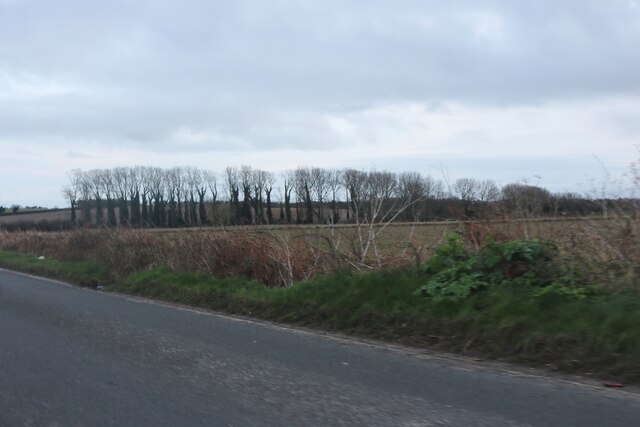
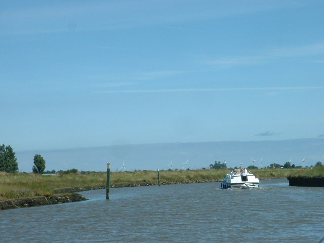
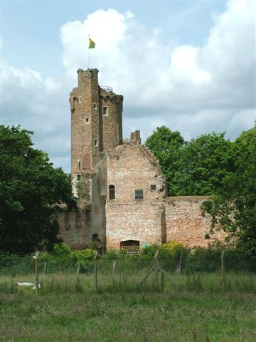
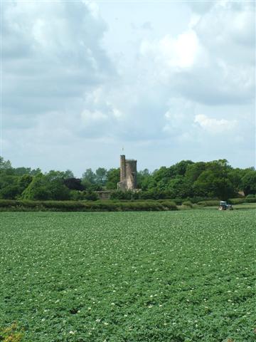
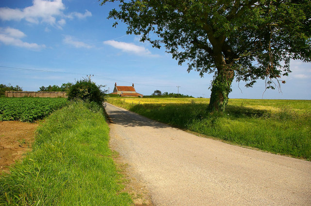
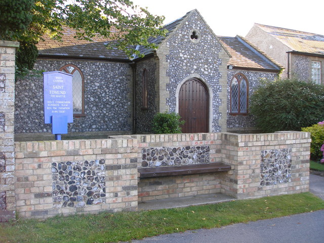
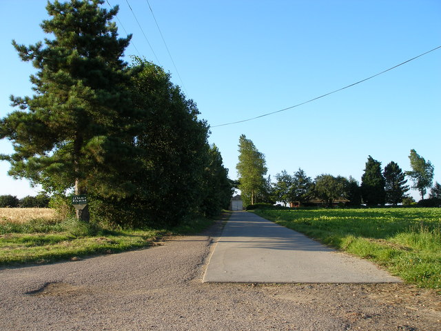
Images are sourced within 2km of 52.643573/1.6934338 or Grid Reference TG4911. Thanks to Geograph Open Source API. All images are credited.
West End is located at Grid Ref: TG4911 (Lat: 52.643573, Lng: 1.6934338)
Administrative County: Norfolk
District: Great Yarmouth
Police Authority: Norfolk
What 3 Words
///eaten.detect.news. Near Caister-on-Sea, Norfolk
Related Wikis
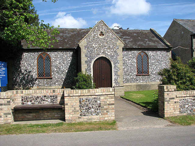
West Caister
West Caister is a village and civil parish in the English county of Norfolk. It is situated just inland from the coast, some 2 km (1.2 mi) from the seaside...

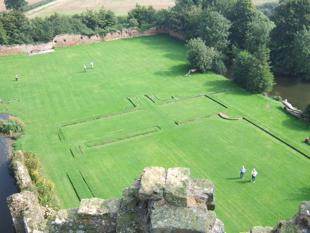
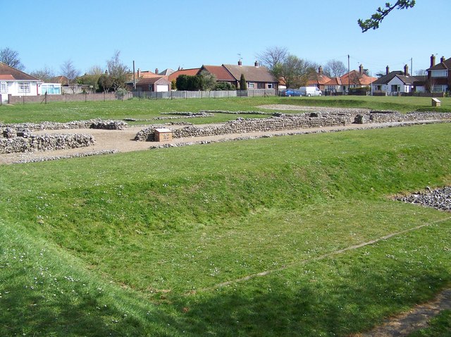
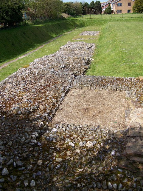
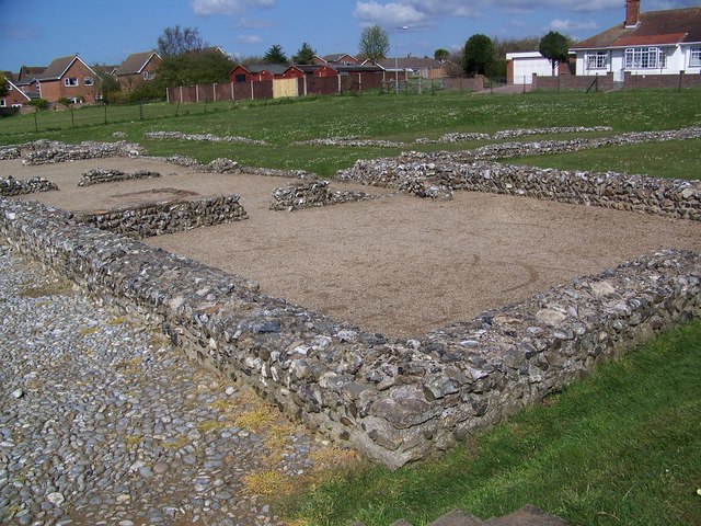
Caister Roman Site
Caister Roman Site is a Roman Saxon Shore fort, located in Caister-on-Sea, Norfolk, England. It was constructed around AD 200 for use by units of the Roman...

Great Yarmouth – North Denes Airport
North Denes Airport (ICAO: EGSD) is a heliport that is located in the northern suburbs of Great Yarmouth, just off the A149 next to Yarmouth Stadium, formerly...

Thrigby Windmill
Thrigby Post Windmill is located in the civil parish of Mautby in the English county of Norfolk. The mill is on the south side of Mill Lane 1,125 yards...
Nearby Amenities
Located within 500m of 52.643573,1.6934338Have you been to West End?
Leave your review of West End below (or comments, questions and feedback).