West End
Settlement in Lincolnshire Boston
England
West End
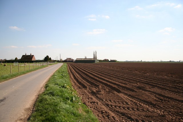
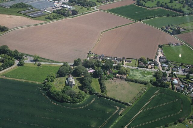
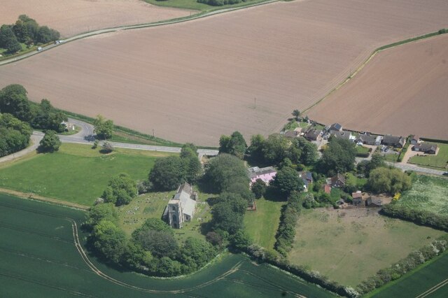
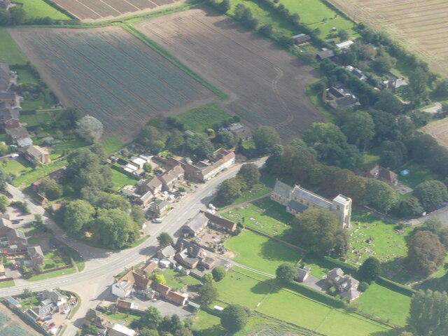
West End is a small village located in the county of Lincolnshire, England. Situated in the South Kesteven district, it is nestled between the towns of Grantham and Stamford. The village is predominantly residential, with a population of around 500 residents.
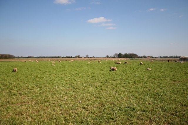
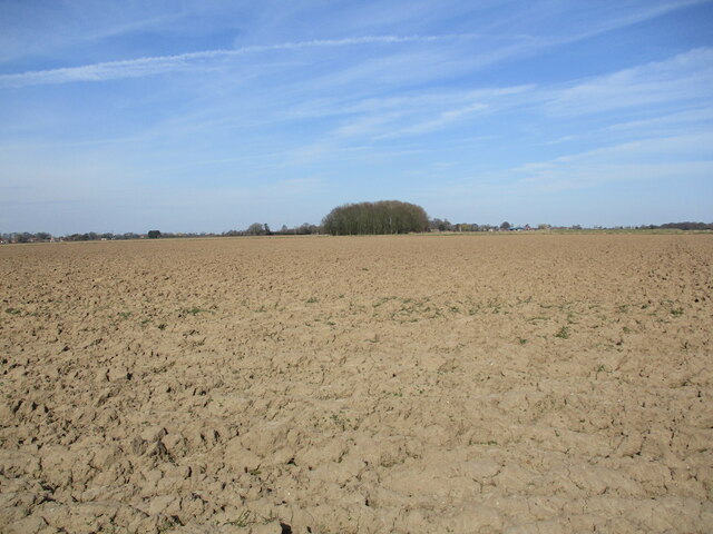
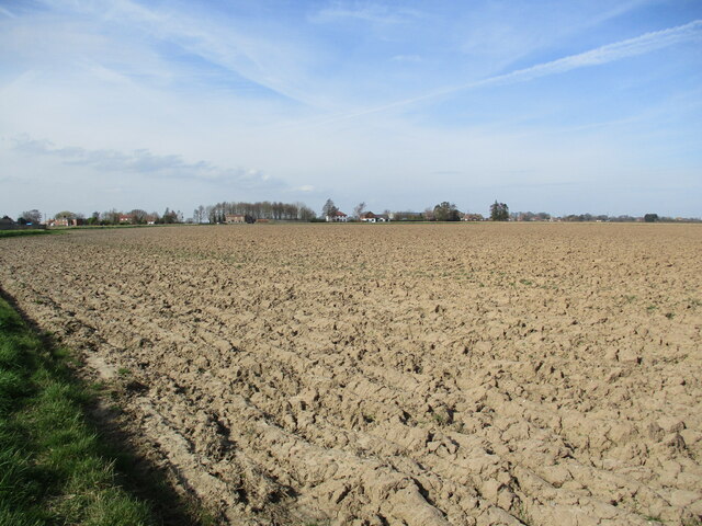
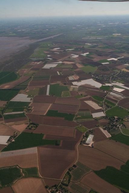
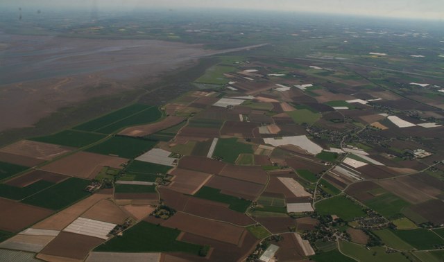
West End boasts a picturesque countryside setting, characterized by rolling hills and lush green fields. The village is surrounded by natural beauty, making it an ideal location for outdoor enthusiasts and nature lovers. Additionally, it is conveniently located near the River Witham, providing opportunities for riverside walks and fishing.
While West End is a small village, it benefits from its close proximity to larger towns, offering residents access to a range of amenities and services. The nearby town of Grantham, approximately 5 miles away, provides shopping centers, supermarkets, schools, and healthcare facilities. Stamford, just a short drive away, offers a wider array of entertainment options, including restaurants, pubs, and cultural attractions.
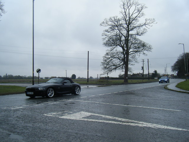
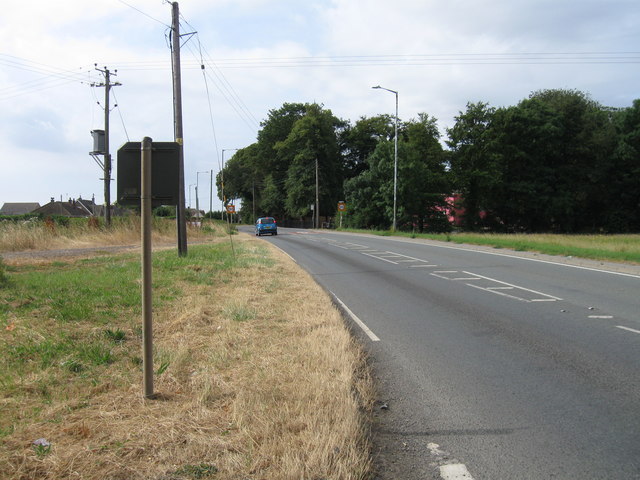
Despite being a quiet and rural village, West End is well-connected to the broader region. It has good transport links, with nearby access to major roads such as the A1, allowing for easy commuting to neighboring towns and cities.
In summary, West End is a charming village in Lincolnshire that offers a peaceful and idyllic countryside living experience. With its stunning natural surroundings and convenient access to nearby amenities, it provides an attractive location for those seeking a tranquil rural lifestyle.
If you have any feedback on the listing, please let us know in the comments section below.
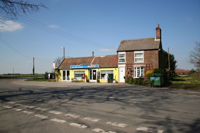
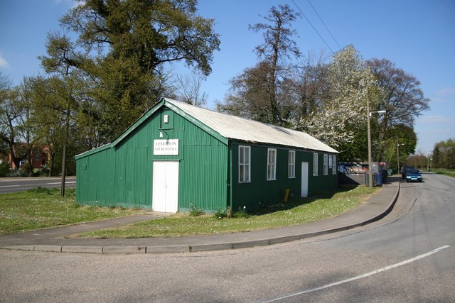
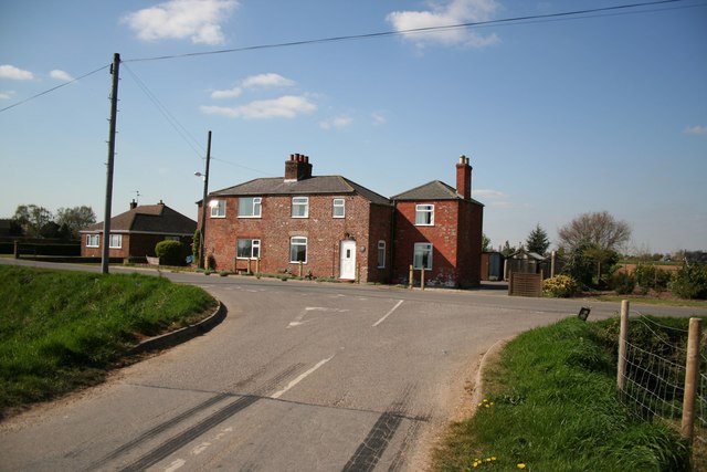
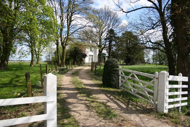
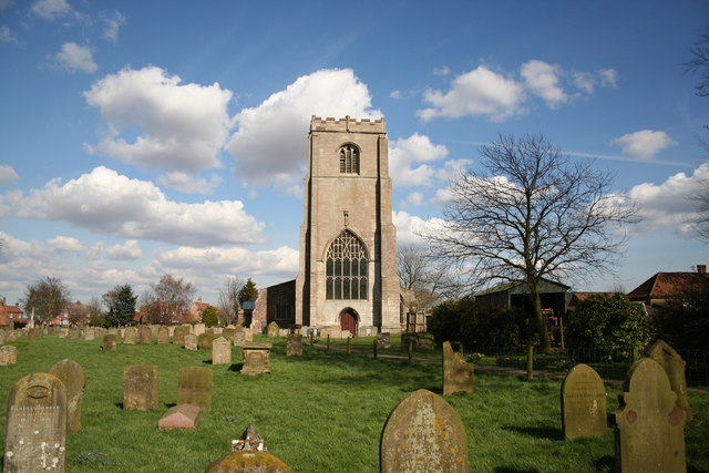
West End Images
Images are sourced within 2km of 53.001933/0.064317134 or Grid Reference TF3846. Thanks to Geograph Open Source API. All images are credited.
West End is located at Grid Ref: TF3846 (Lat: 53.001933, Lng: 0.064317134)
Division: Parts of Holland
Administrative County: Lincolnshire
District: Boston
Police Authority: Lincolnshire
What 3 Words
///prevented.mend.donation. Near Butterwick, Lincolnshire
Related Wikis

Skirbeck Wapentake
Skirbeck Wapentake was an administrative unit in the Parts of Holland Lincolnshire, England from the early eleventh century at the latest, until the wapentakes...
Benington, Lincolnshire
Benington is a village and civil parish in the Borough of Boston in Lincolnshire, England, and approximately 4 miles (6 km) east of Boston, and on the...
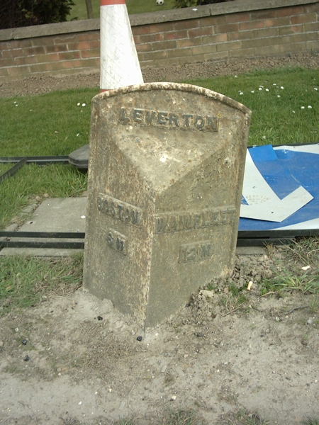
Leverton, Lincolnshire
Leverton is a village and civil parish in the Boston district of Lincolnshire, England, about 6 mi (10 km) east-north-east of Boston, on the A52 road....

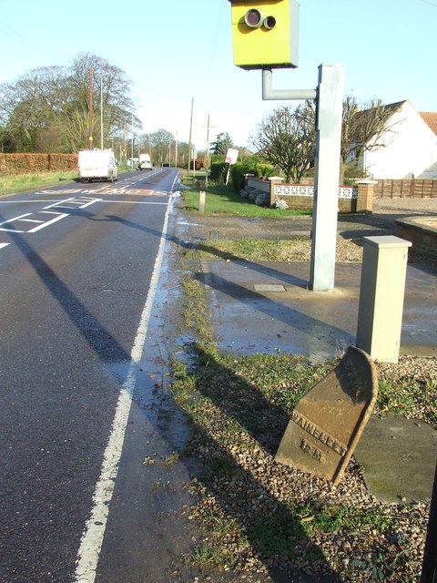
Butterwick, Lincolnshire
Butterwick is a village and civil parish in the Borough of Boston, Lincolnshire, England, It is situated approximately 3 miles (5 km) east from the market...
Benington Sea End
Benington Sea End is a hamlet in the Benington civil parish of the Borough of Boston in Lincolnshire, England. It is 5 miles (8 km) east-northeast from...

Boston and Skegness (UK Parliament constituency)
Boston and Skegness is a county constituency, represented in the House of Commons of the UK Parliament. It is located in Lincolnshire, England. Like all...
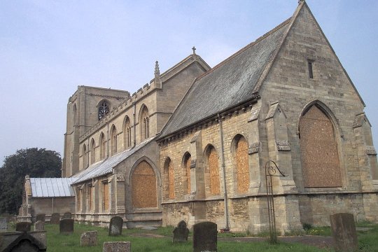
Freiston
Freiston is a village and civil parish in Lincolnshire, England. The population of the civil parish (including Freiston Shore) at the 2011 census was 1...
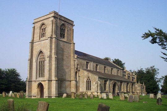
Freiston Priory
Freiston Priory was a Benedictine cell of Crowland Abbey founded in 1114, and became a priory soon afterwards. It was Dissolved in 1539 and was located...
Nearby Amenities
Located within 500m of 53.001933,0.064317134Have you been to West End?
Leave your review of West End below (or comments, questions and feedback).