West End
Settlement in Hampshire Fareham
England
West End
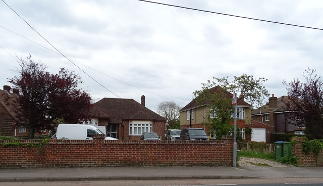
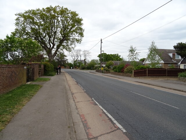
West End is a small village located in the county of Hampshire, England. Situated approximately 5 miles east of Southampton, it is part of the borough of Eastleigh. With a population of around 6,000 residents, West End offers a peaceful and close-knit community atmosphere.
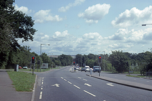
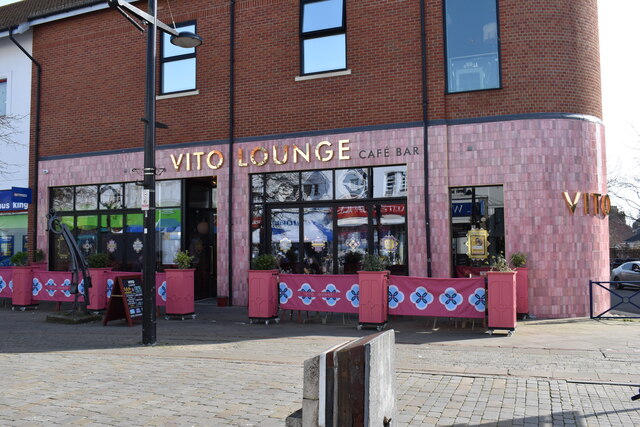
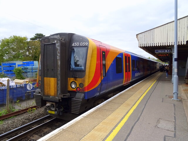
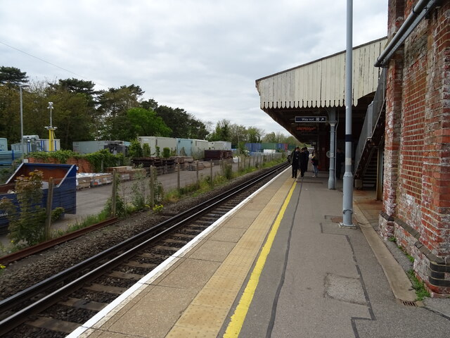
The village boasts a range of amenities, including a variety of shops, restaurants, and pubs that cater to the needs of its residents. West End also benefits from excellent transport links, with easy access to major roads such as the M27 motorway, making it an ideal location for commuters working in nearby cities.
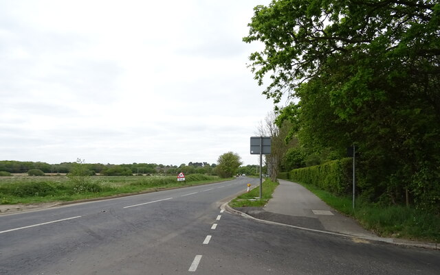
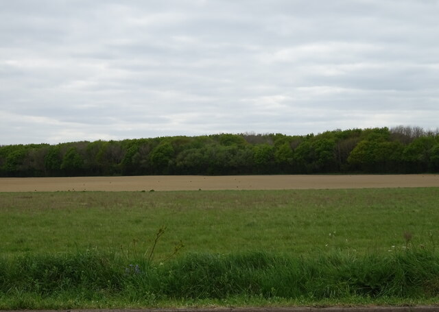
Nature enthusiasts will appreciate the picturesque surroundings of West End. The village is surrounded by beautiful countryside, including the nearby Itchen Valley Country Park and the South Downs National Park, providing ample opportunities for outdoor activities such as hiking, cycling, and birdwatching.
Education is well-catered for in West End, with several primary schools and secondary schools in the area. Additionally, the village is home to the prestigious Taunton's College, offering further education and vocational courses.
West End's close proximity to Southampton allows residents to easily access a wider range of amenities and services, including shopping centers, museums, theaters, and sports facilities. The city also offers excellent employment opportunities in various sectors, further enhancing the appeal of living in West End.
Overall, West End is a charming village in Hampshire that offers a high quality of life, combining the tranquility of rural living with the convenience of nearby urban amenities.
If you have any feedback on the listing, please let us know in the comments section below.
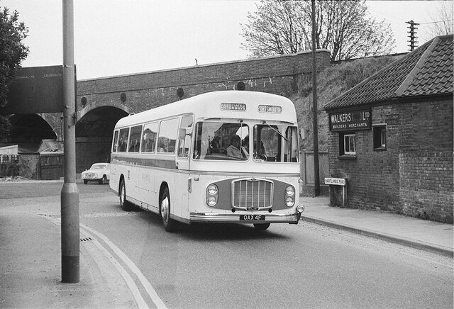
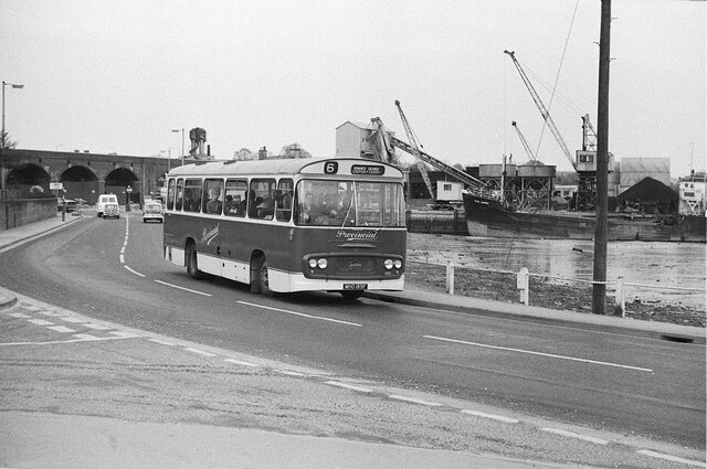
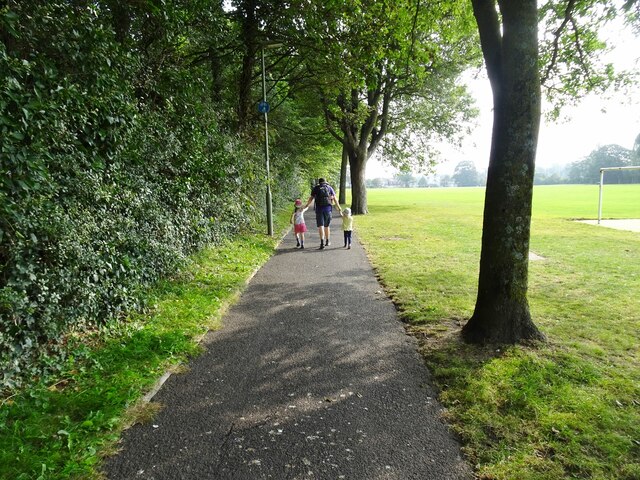
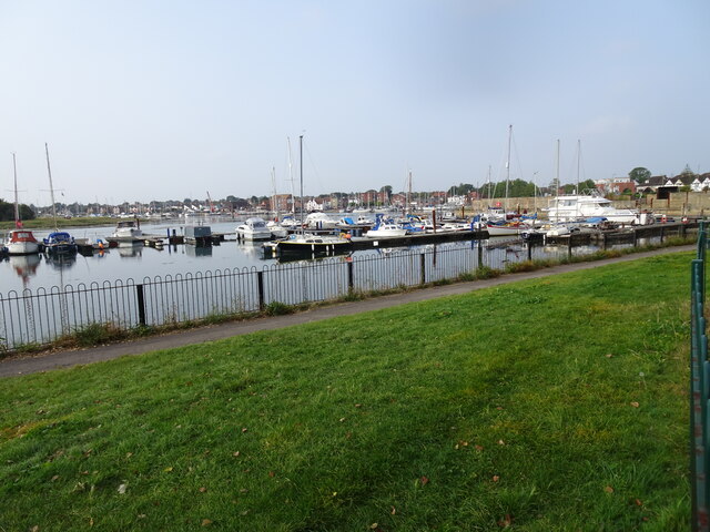
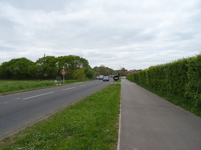
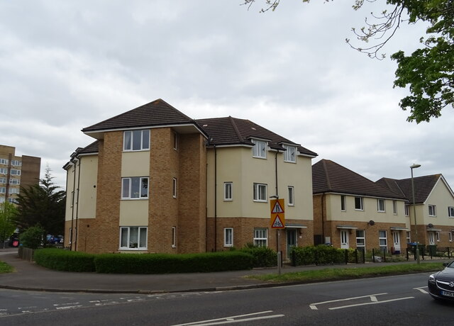
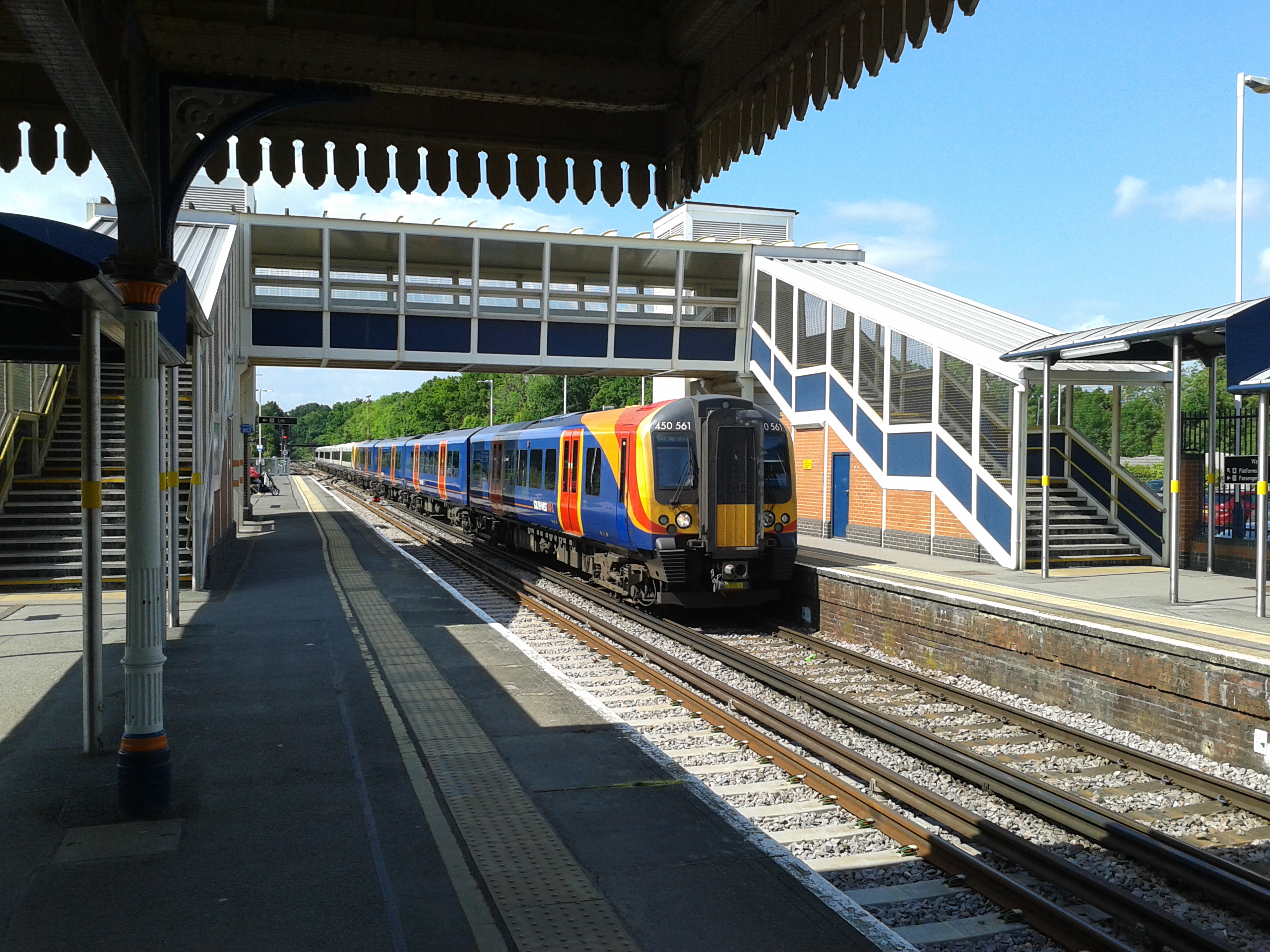
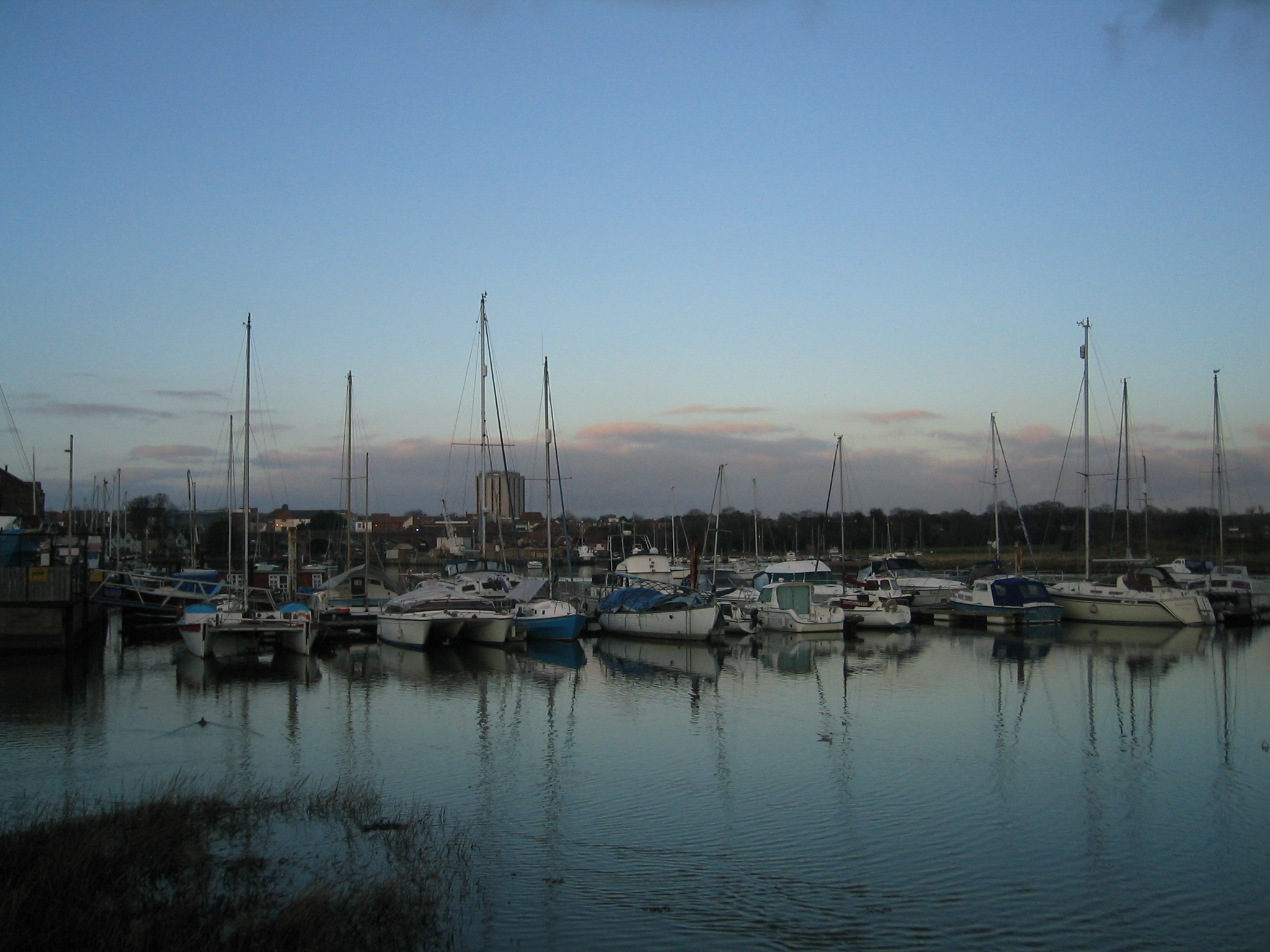
West End Images
Images are sourced within 2km of 50.843074/-1.1994243 or Grid Reference SU5605. Thanks to Geograph Open Source API. All images are credited.
West End is located at Grid Ref: SU5605 (Lat: 50.843074, Lng: -1.1994243)
Administrative County: Hampshire
District: Fareham
Police Authority: Hampshire
What 3 Words
///clinic.entire.earlobes. Near Fareham, Hampshire
Related Wikis

Fareham Town F.C.
Fareham Town F.C. is a football club based in Fareham, Hampshire, England. The club is affiliated to the Hampshire Football Association, and is an FA Charter...

Fort Fareham
Fort Fareham is one of the Palmerston Forts, in Fareham, England. After the Gosport Advanced Line of Fort Brockhurst, Fort Elson, Fort Rowner, Fort Grange...
Fareham College
Fareham College is a further education college situated on a 22-acre (89,000 m2) campus on the western side of the town of Fareham in Hampshire, England...

HMS Collingwood (shore establishment)
HMS Collingwood is a stone frigate (shore establishment) of the Royal Navy, in Fareham, England. It is the lead establishment of the Maritime Warfare School...
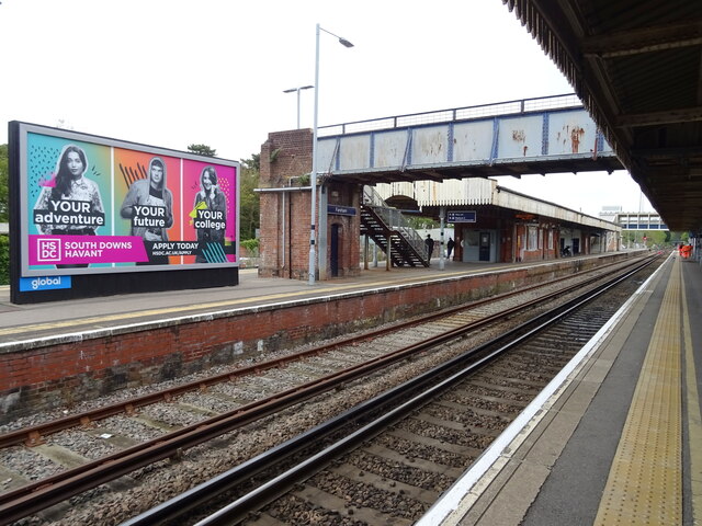
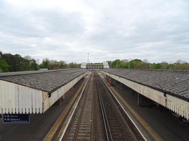
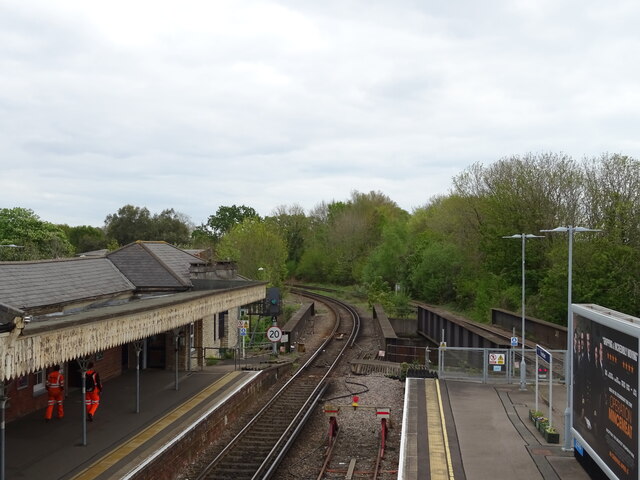
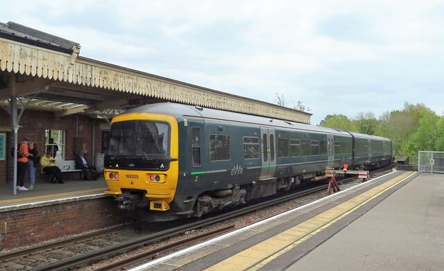
Fareham railway station
Fareham railway station is on the West Coastway Line situated about 0.62 miles (1 km) from the town of Fareham in Hampshire, England. It is 84 miles 21...
Heart Solent
Heart Solent was a local radio station owned and operated by Global Radio as part of the Heart network. It broadcast to southern and western parts of Hampshire...
Fareham
Fareham ( FAIR-əm) is a market town at the north-west tip of Portsmouth Harbour, between the cities of Portsmouth and Southampton in south east Hampshire...
Westbury Manor Museum
Westbury Manor Museum is the main town centre museum located at 84 West Street, Fareham, Hampshire, England. It features a variety of exhibits on local...
Nearby Amenities
Located within 500m of 50.843074,-1.1994243Have you been to West End?
Leave your review of West End below (or comments, questions and feedback).