West End

Settlement in Wiltshire

England

West End

Car park, Chalke Valley History Festival Another view across the car park shown in <a href="https://www.geograph.org.uk/photo/4543503">ST9822 : Car park, Chalke Valley History Festival</a>. the temporary structure is the site office. Behind the trees rise the slopes of Barrow Hill.
Car park, Chalke Valley History Festival Credit: Derek Harper

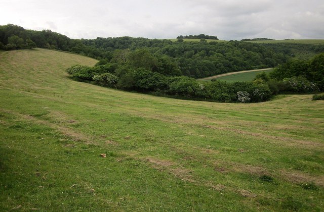
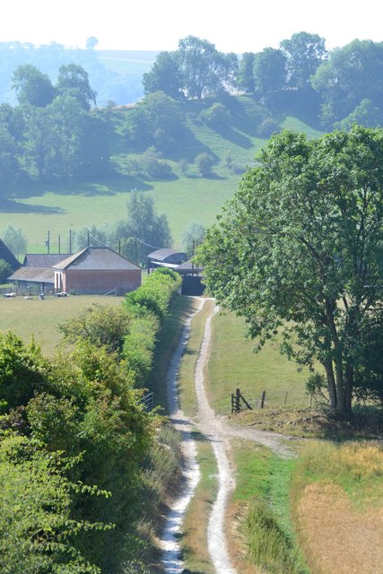
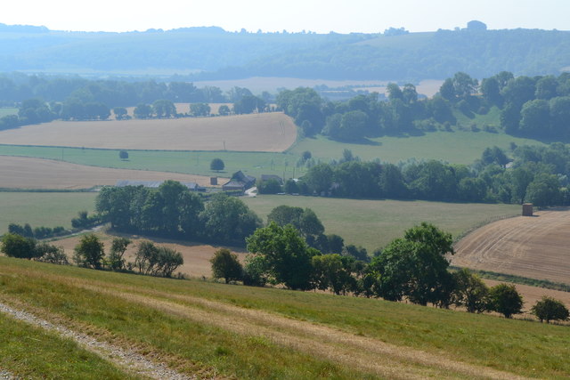
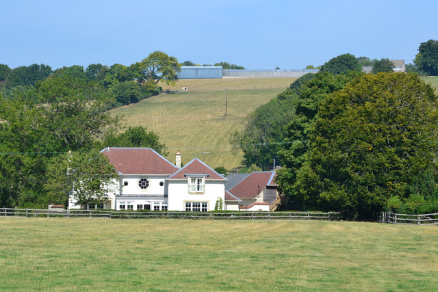
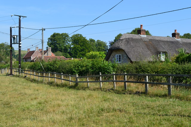
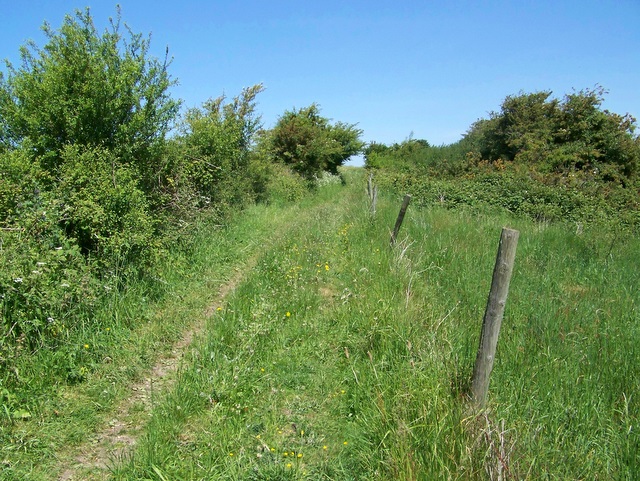
West End is a small village located in the county of Wiltshire, England. Situated in the southern part of the county, it lies approximately 3 miles southwest of the town of Calne. The village is nestled amidst the picturesque countryside, characterized by rolling hills, lush green fields, and charming rural landscapes.

Despite its small size, West End has a close-knit community, with a population of around 500 residents. The village is known for its tranquil and idyllic setting, offering a peaceful and serene environment for its inhabitants. The residents often engage in various community activities and events, fostering a strong sense of belonging and unity.

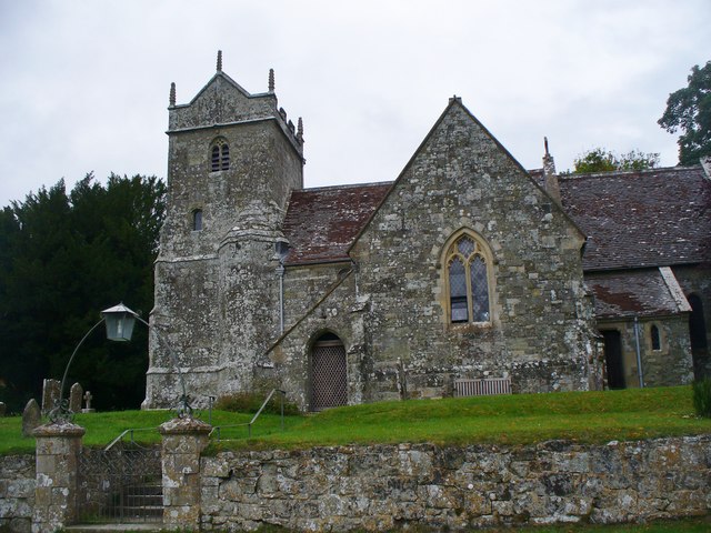
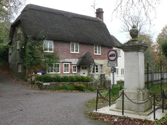
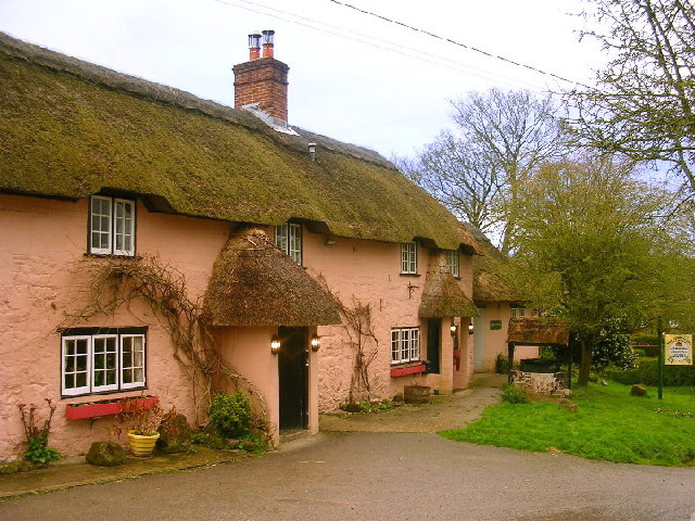
The village itself features a mix of residential properties, ranging from old cottages to more modern houses. The architecture of West End reflects its rich history, with some buildings dating back several centuries. The local church, St. Peter's, is a prominent landmark and a place of worship for the villagers.

Although West End is predominantly residential, it benefits from its proximity to nearby towns and cities. Calne, the closest town, provides essential amenities such as shops, schools, and healthcare facilities. The village is also well-connected to the wider region via road links, allowing easy access to other parts of Wiltshire and beyond.

Surrounded by natural beauty, West End offers its residents ample opportunities to explore the countryside. The village is situated close to the North Wessex Downs Area of Outstanding Natural Beauty, providing access to stunning walking trails, cycling routes, and panoramic views.

In summary, West End is a charming and picturesque village in Wiltshire, boasting a close-knit community, historic architecture, and beautiful countryside surroundings.

If you have any feedback on the listing, please let us know in the comments section below.
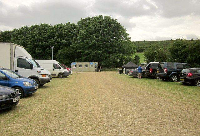
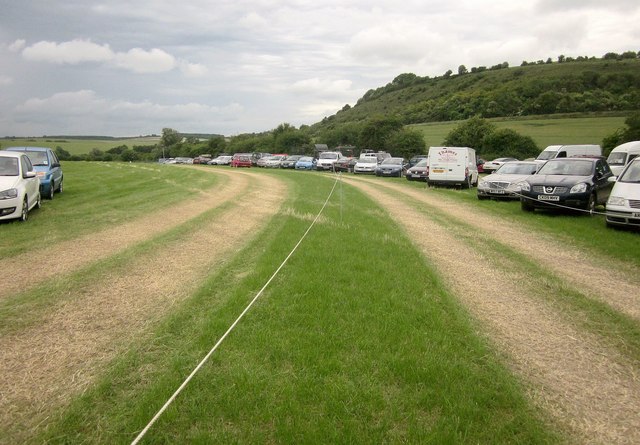
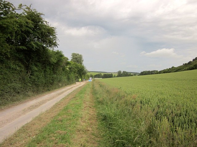
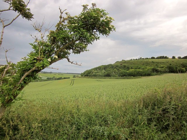
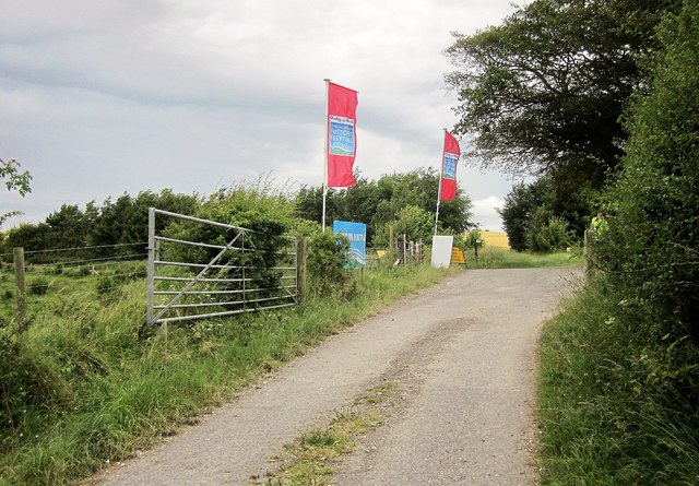
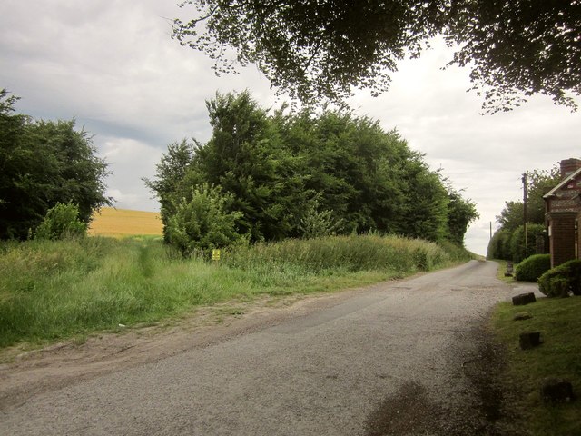
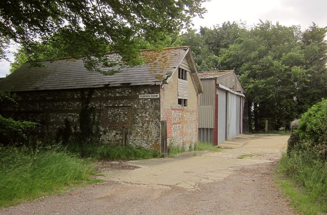
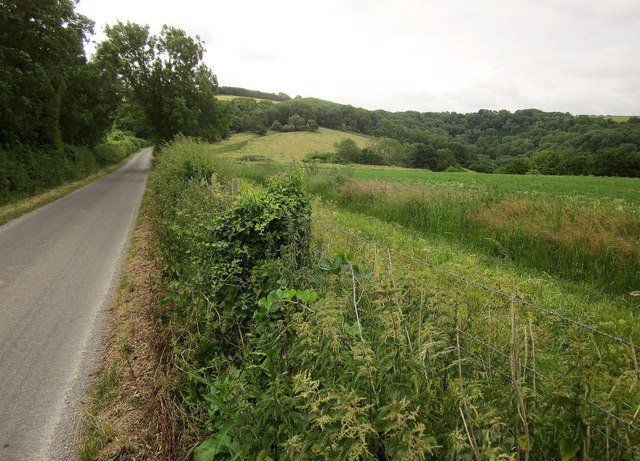
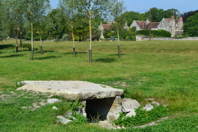
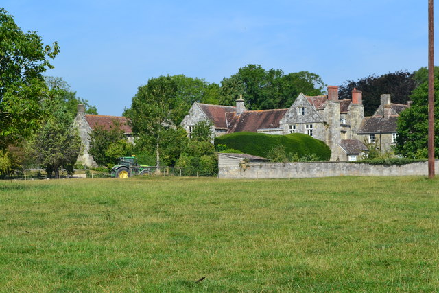
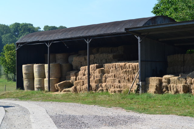
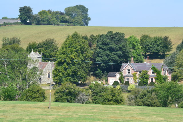
West End Images

Images are sourced within 2km of 51.016934/-2.023492 or Grid Reference ST9824. Thanks to Geograph Open Source API. All images are credited.

Car park, Chalke Valley History Festival Another view across the car park shown in <a href="https://www.geograph.org.uk/photo/4543503">ST9822 : Car park, Chalke Valley History Festival</a>. the temporary structure is the site office. Behind the trees rise the slopes of Barrow Hill.
Car park, Chalke Valley History Festival
Another view across the car park shown in ST9822 : Car park, Chalke Valley History Festival. the temporary structure is the site office. Behind the trees rise the slopes of Barrow Hill.
Car park, Chalke Valley History Festival Tracks lead vehicles in and out of the car park field. On the right is Barrow Hill.
Car park, Chalke Valley History Festival
Tracks lead vehicles in and out of the car park field. On the right is Barrow Hill.
Entrance road to Chalke Valley History Festival Following a track along the floor of a combe, with a field of wheat rising on the right.
Entrance road to Chalke Valley History Festival
Following a track along the floor of a combe, with a field of wheat rising on the right.
Wheat below Barrow Hill From <a href="https://www.geograph.org.uk/photo/4543923">ST9922 : Entrance road to Chalke Valley History Festival</a>, past an elder. The slopes of Barrow Hill, on the right, are in <a href="https://www.geograph.org.uk/gridref/ST9923">ST9923</a>.
Wheat below Barrow Hill
From ST9922 : Entrance road to Chalke Valley History Festival, past an elder. The slopes of Barrow Hill, on the right, are in ST9923.
Exit from Chalke Valley History Festival Banners beside the junction with Ebbesbourne Hollow proclaim the festival site, and you can just see the yellow vest of someone directing traffic in.
Exit from Chalke Valley History Festival
Banners beside the junction with Ebbesbourne Hollow proclaim the festival site, and you can just see the yellow vest of someone directing traffic in.
Byway by Barrow Hill Restricted byway EWAK 9 leaves Ebbesbourne Hollow and runs past Cleeves House towards Hill Farm.
Byway by Barrow Hill
Restricted byway EWAK 9 leaves Ebbesbourne Hollow and runs past Cleeves House towards Hill Farm.
Buildings at Cleeves Farm Similar in size, but a contrast in building materials. From Ebbesbourne Hollow.
Buildings at Cleeves Farm
Similar in size, but a contrast in building materials. From Ebbesbourne Hollow.
Farmland near Cleeves Farm With Ebbesbourne Hollow on the left. East Combe Wood is ahead.
Farmland near Cleeves Farm
With Ebbesbourne Hollow on the left. East Combe Wood is ahead.
Belt of trees near East Combe Wood A view from Ebbesbourne Hollow towards the head of the large combe in which the Chalke Valley History Festival is taking place. A belt of trees curves around a field boundary on the hillside; East Combe Wood is beyond.
Belt of trees near East Combe Wood
A view from Ebbesbourne Hollow towards the head of the large combe in which the Chalke Valley History Festival is taking place. A belt of trees curves around a field boundary on the hillside; East Combe Wood is beyond.
Alvediston Church St Mary's is a Grade II listed building. It was rebuilt in 1866 by T.H. Wyatt using elements from an earlier 12th century church.
Alvediston Church
St Mary's is a Grade II listed building. It was rebuilt in 1866 by T.H. Wyatt using elements from an earlier 12th century church.
Track to Norrington Farm
View over Norrington Farm The early haze warns of a day that will later reach 32°C.
View over Norrington Farm
The early haze warns of a day that will later reach 32°C.
Bridge and farm Bridge over dry stream bed with Norrington Farm beyond.
Bridge and farm
Bridge over dry stream bed with Norrington Farm beyond.
Norrington
Norrington
Barn at Norrington Farm
Church and old vicarage, Alvediston
Shortlands House, Alvediston
Houses at Alvediston
Show me another place!

West End is located at Grid Ref: ST9824 (Lat: 51.016934, Lng: -2.023492)

Unitary Authority: Wiltshire

Police Authority: Wiltshire

What 3 Words

///defensive.system.boots. Near Ansty, Wiltshire

Nearby Locations

West End End, West

Related Wikis

Ebbesbourne Wake

Ebbesbourne Wake is a village and civil parish in Wiltshire, England, some 10 miles (16 km) south-west of Salisbury, near the head of the valley of the...

Alvediston Manor

Alvediston Manor, Alvediston, Wiltshire, England is an 18th-century house. From 1968 until his death in 1977, it was the home of the former prime minister...

Alvediston

Alvediston is a small village and civil parish in Wiltshire, England, about 7 miles (11 km) east of Shaftesbury and 11 miles (18 km) southwest of Salisbury...

Prescombe Down

Prescombe Down (grid reference ST985255) is a biological Site of Special Scientific Interest in Wiltshire, notified in 1951. == Sources == Natural England...

Related Videos

WE PROBABLY SHOULDN’T SHARE THIS | Cranborne Chase AONB

Welcome back friends! This week we're down towards the southern coast of England exploring another beautiful part of the ...

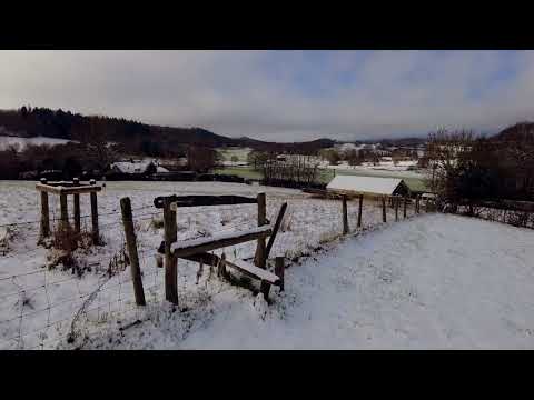
Rural Winter Walk in Snow - Wiltshire, UK - Binaural audio

Rural walk in the snow through south Wiltshire, England. Can be used for relaxation, meditation, sleep, study. Please use ...

St Mary's Church, Alvediston, Wiltshire, England

St Mary's Church, Alvediston, Wiltshire. The final resting place for The Rt Hon. Earl of Avon KG PC MC, formerly Prime Minister of ...

Nearby Amenities

Located within 500m of 51.016934,-2.023492
Barrier: stile
Lat/Long: 51.0190152/-2.0183393
Barrier: stile
Lat/Long: 51.0191172/-2.0183965
Post Box
Operator: Royal Mail
Post Box Type: wall
Ref: SP5 23
Royal Cypher: EIIR
Royal Cypher Wikidata: Q33102113
Lat/Long: 51.017801/-2.0211276
West End
Place: hamlet
Lat/Long: 51.0175797/-2.0247514
Ele: 152
Natural: peak
Lat/Long: 51.0161377/-2.0203061
The data included in this document is from www.openstreetmap.org. The data is made available under ODbL.

Have you been to West End?

Leave your review of West End below (or comments, questions and feedback).