West End
Settlement in Gloucestershire
England
West End
The requested URL returned error: 429 Too Many Requests
If you have any feedback on the listing, please let us know in the comments section below.
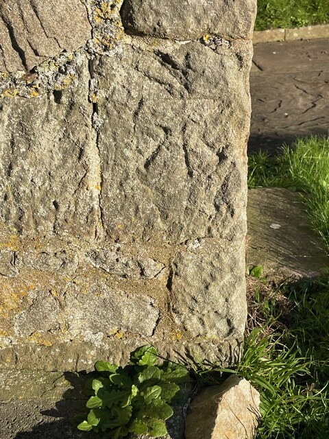
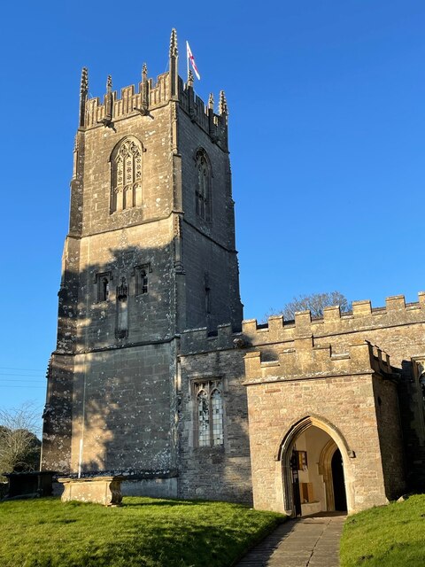
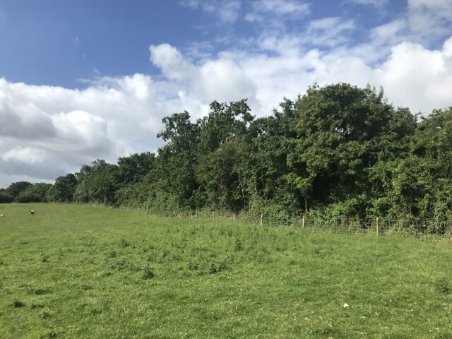
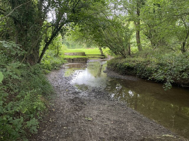
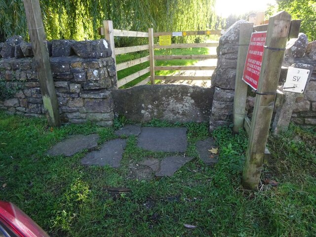
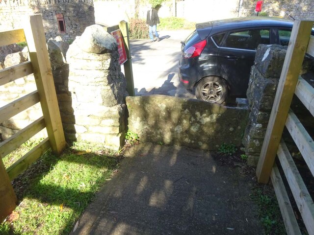
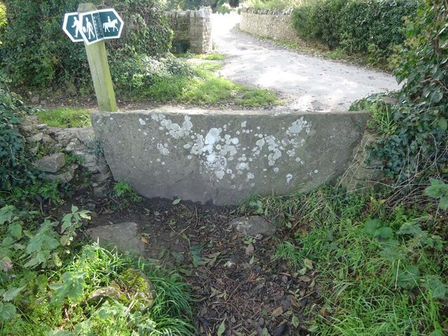
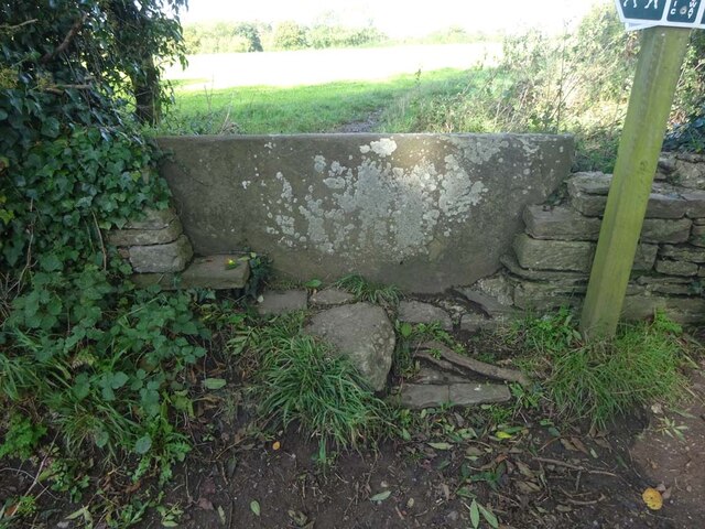
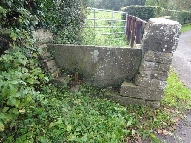
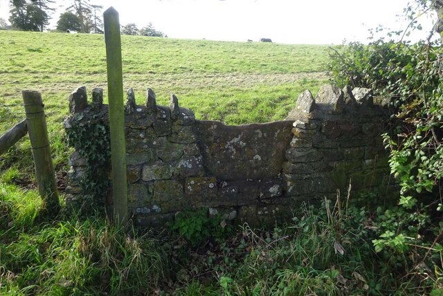
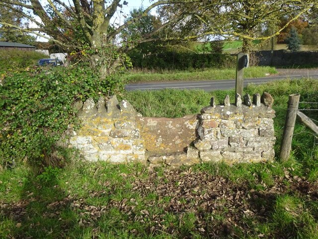
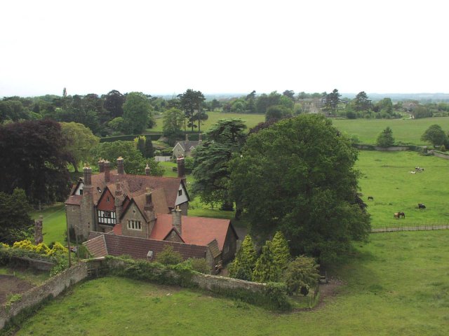
West End Images
Images are sourced within 2km of 51.594864/-2.4123356 or Grid Reference ST7188. Thanks to Geograph Open Source API. All images are credited.


West End is located at Grid Ref: ST7188 (Lat: 51.594864, Lng: -2.4123356)
Unitary Authority: South Gloucestershire
Police Authority: Avon and Somerset
What 3 Words
///loses.microchip.tailwind. Near Wickwar, Gloucestershire
Related Wikis

Wickwar
Wickwar is a village and civil parish in Gloucestershire, England, located between Yate and Charfield. At the 2001 census, the parish had a population...

Wickwar railway station
Wickwar railway station served the village of Wickwar in South Gloucestershire, England. The station was on the Bristol and Gloucester Railway, originally...
Bishop's Hill Wood
Bishop's Hill Wood (grid reference ST733873) is a 30.6 hectares (76 acres) biological Site of Special Scientific Interest (SSSI) in England. It lies just...

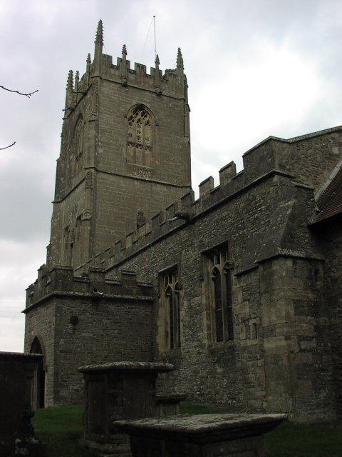
St James' Church, Charfield
St James' Church is a historic Anglican church at Churchend in the village of Charfield, Gloucestershire, England and is under the care of The Churches...
Nearby Amenities
Located within 500m of 51.594864,-2.4123356Have you been to West End?
Leave your review of West End below (or comments, questions and feedback).