West Dunston

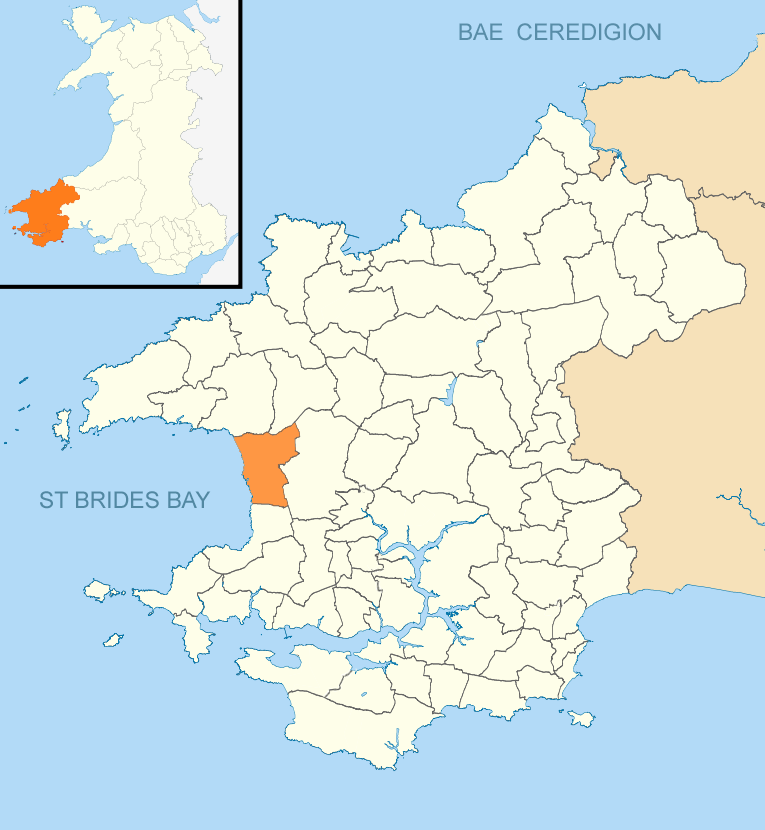
Settlement in Pembrokeshire

Wales

West Dunston

View from Simpson Hill Farm near Simpsons Cross
View from Simpson Hill Farm near Simpsons Cross Credit: Pam Goodey

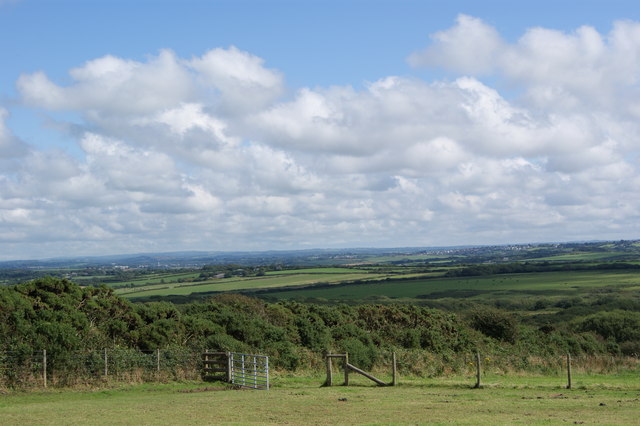
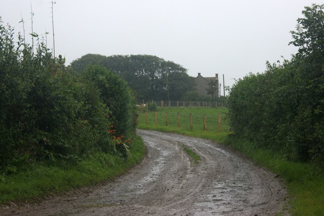
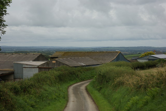
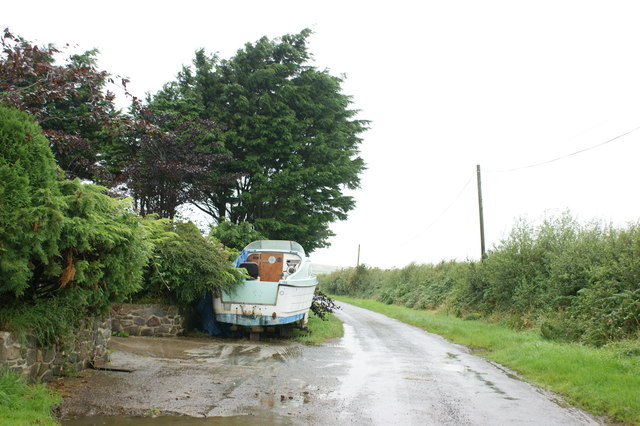
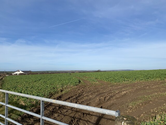
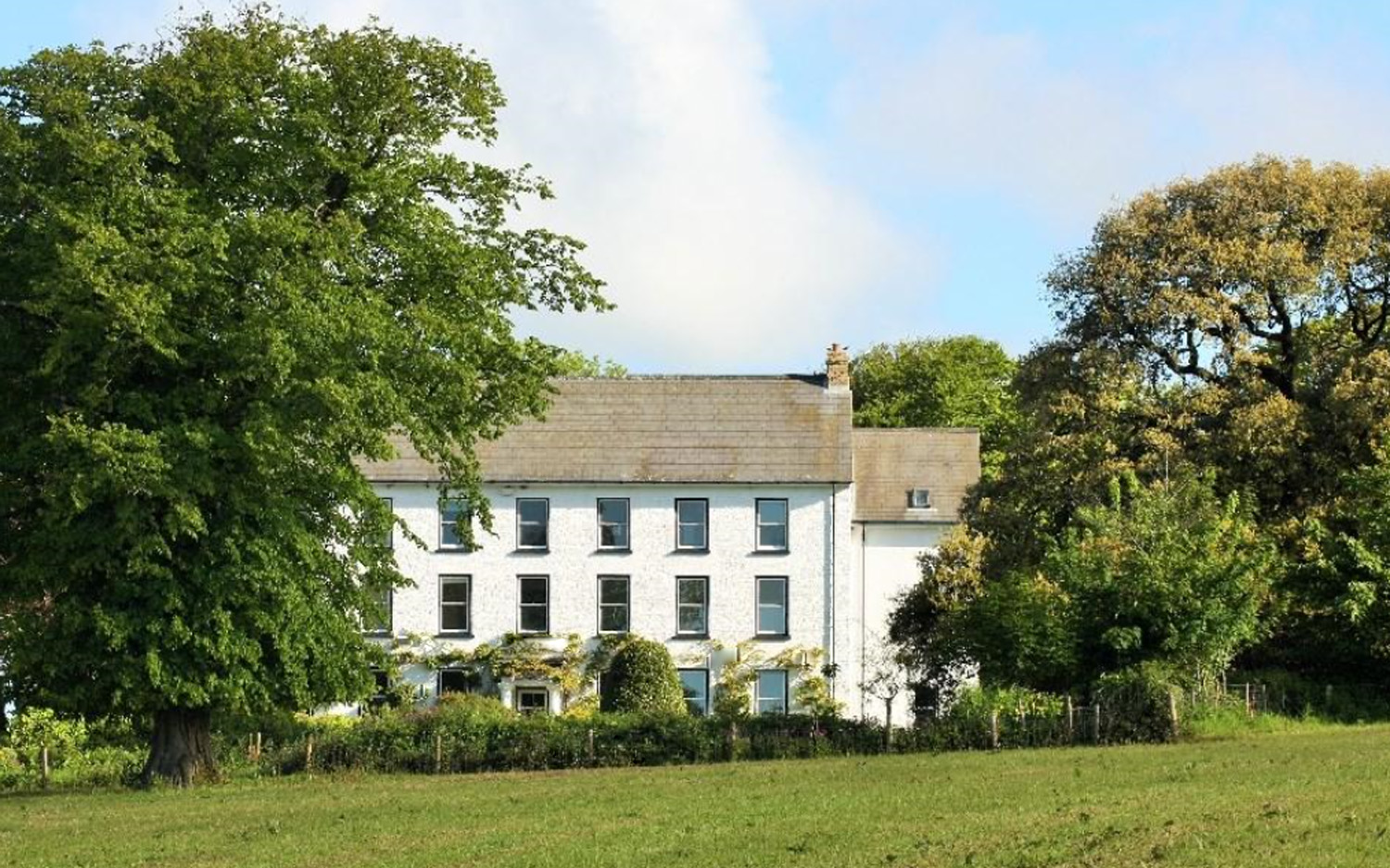
West Dunston is a picturesque village located in the county of Pembrokeshire, Wales. Situated on the western coast of the country, the village offers stunning views of the Irish Sea and is surrounded by rolling hills and lush green countryside.

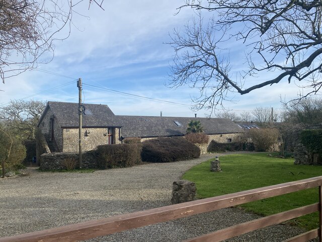
The village is known for its charming, traditional Welsh cottages, many of which date back several centuries. The architecture reflects the area's rich history and provides a charming backdrop for visitors and residents alike. The community is small but tight-knit, with a population of approximately 500 people.

West Dunston is a popular destination for nature lovers and outdoor enthusiasts. The nearby Pembrokeshire Coast National Park offers breathtaking coastal walks and beautiful sandy beaches, such as Newgale and Broad Haven, which are ideal for swimming, surfing, and sunbathing during the summer months.

The village also boasts a vibrant local economy, with several independent shops, cafes, and restaurants. Visitors can enjoy traditional Welsh cuisine and locally sourced produce in the village's eateries, and there are regular markets and events showcasing local crafts and products.

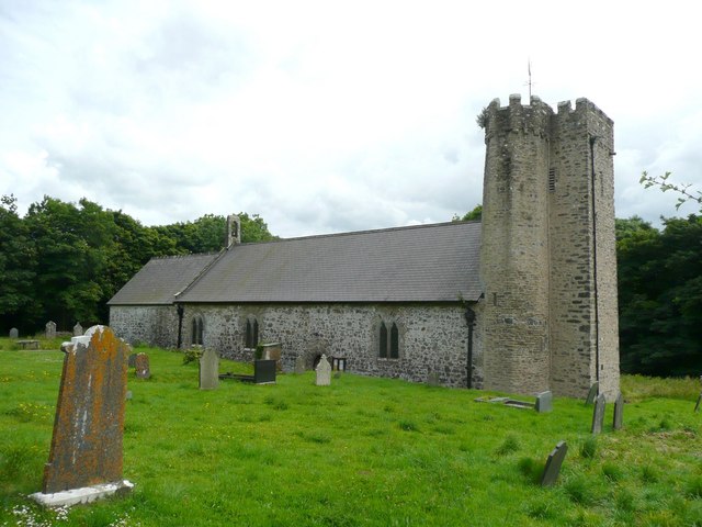
For history enthusiasts, West Dunston is home to St. Peter's Church, a historic medieval church that dates back to the 12th century. The church is known for its impressive stained glass windows and intricate stonework.

Overall, West Dunston offers a serene and idyllic escape from the hustle and bustle of city life, combining natural beauty, rich history, and a warm community spirit.

If you have any feedback on the listing, please let us know in the comments section below.
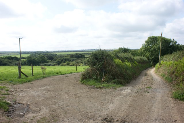
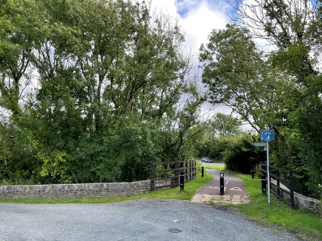
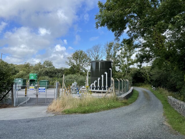
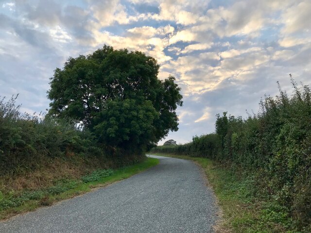
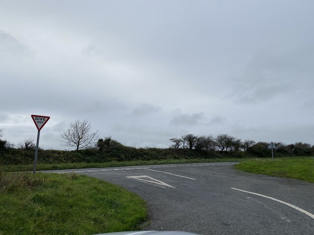
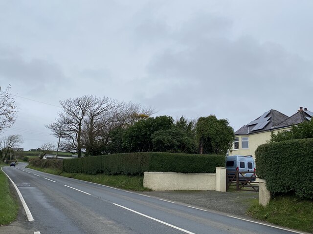
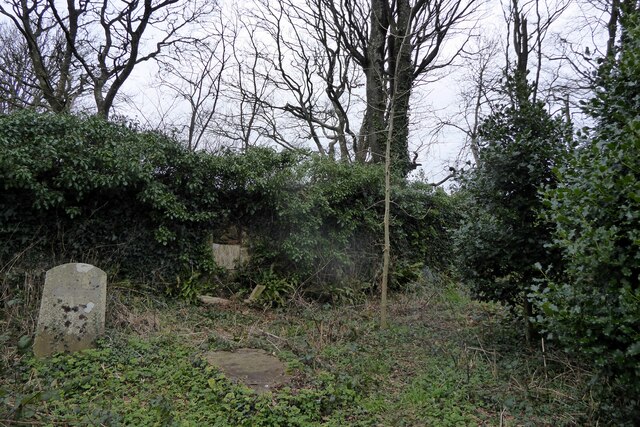
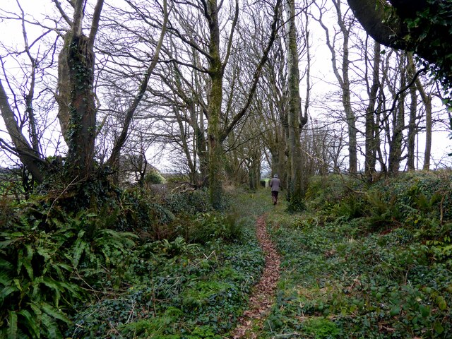
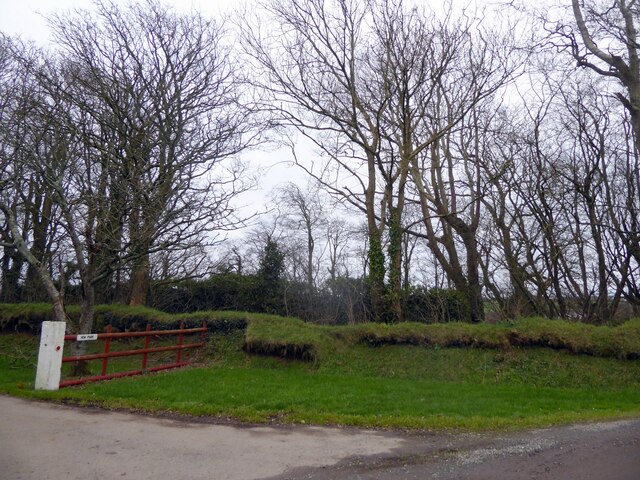
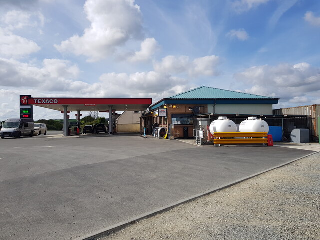
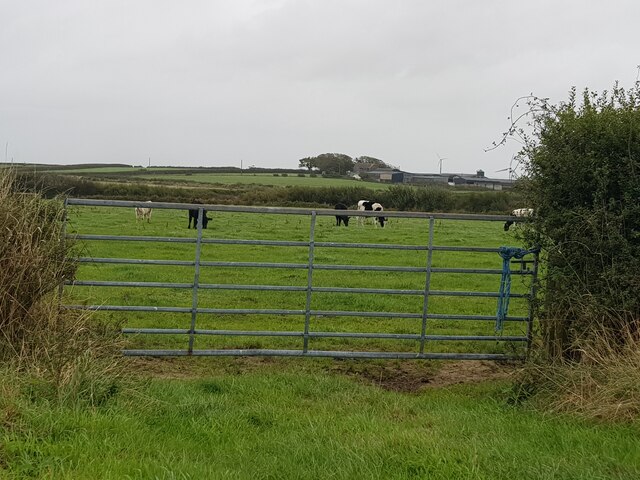
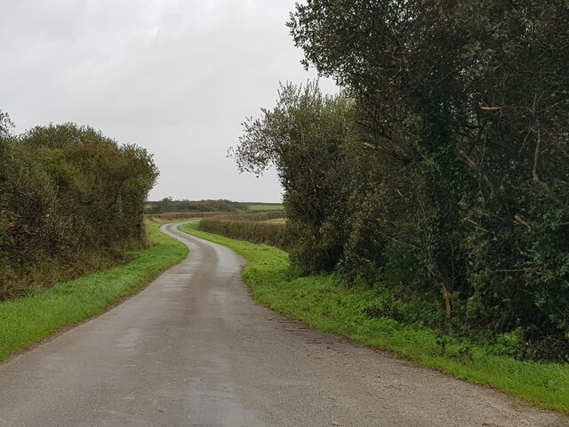
West Dunston Images

Images are sourced within 2km of 51.812081/-5.0478836 or Grid Reference SM9017. Thanks to Geograph Open Source API. All images are credited.

View from Simpson Hill Farm near Simpsons Cross
The driveway to Marlsborough
Barns at Rogeston Farm Looking east from the lane past the farm.
Barns at Rogeston Farm
Looking east from the lane past the farm.
Boat on the roadside near Homeland Looking west towards Nolton Haven.
Boat on the roadside near Homeland
Looking west towards Nolton Haven.
The lane to Keeston Moor Looking south towards Moor Hall.
The lane to Keeston Moor
Looking south towards Moor Hall.
Cycleway at Keeston Bridge The bridge used to carry the main road between Haverfordwest and St. Davids over Knock Brook, but now carries the cycle path that is slowly being developed from Haverfordwest parallel to the road.
Cycleway at Keeston Bridge
The bridge used to carry the main road between Haverfordwest and St. Davids over Knock Brook, but now carries the cycle path that is slowly being developed from Haverfordwest parallel to the road.
Sewage works, Bridge Lane, Keeston
Ash beside the lane to the sewage works The Lane between Keeston Bridge and Keeston is wider between the start at the junction with the A487 and the sewage works, obviously for traffic to the works.  Compare with this as the lane rises toward Keeston: <a href="https://www.geograph.org.uk/photo/6968524">SM9018 : Lane-side ash</a>.  Also look how the more sheltered position allows a more rounded crown in the ash tree.
Ash beside the lane to the sewage works
The Lane between Keeston Bridge and Keeston is wider between the start at the junction with the A487 and the sewage works, obviously for traffic to the works. Compare with this as the lane rises toward Keeston: SM9018 : Lane-side ash. Also look how the more sheltered position allows a more rounded crown in the ash tree.
A487 road junction
A487 road junction
Golden Grove
Golden Grove
Quaker burial ground Lambston Within the inner enclosure of the double-walled burial ground only four grave markers are visible and they are in a poor state of repair. (Other burials may be unmarked.) The whole area is covered with ivy, brambles, ferns and other undergrowth making it impossible to investigate.
The state of the place may reflect a lack of maintenance during the Covid pandemic. It's isolated amid fields some distance from Lambston village.
Details about the graves and more information can be found here <span class="nowrap"><a title="https://lambstonparish.wales/quaker-burial-ground/" rel="nofollow ugc noopener" href="https://lambstonparish.wales/quaker-burial-ground/">Link</a><img style="margin-left:2px;" alt="External link" title="External link - shift click to open in new window" src="https://s1.geograph.org.uk/img/external.png" width="10" height="10"/></span>
Quaker burial ground Lambston
Within the inner enclosure of the double-walled burial ground only four grave markers are visible and they are in a poor state of repair. (Other burials may be unmarked.) The whole area is covered with ivy, brambles, ferns and other undergrowth making it impossible to investigate. The state of the place may reflect a lack of maintenance during the Covid pandemic. It's isolated amid fields some distance from Lambston village. Details about the graves and more information can be found here LinkExternal link
Beech avenue at the Quaker burial ground An avenue of beech trees runs between the outer and inner entrances to the double walled enclosure. 
The building on the left in this image is The Mount, whose sympathetic owner, a Mr Bateman, originally donated the land for the burial ground to the Quaker community of Haverfordwest in the C17th.
Beech avenue at the Quaker burial ground
An avenue of beech trees runs between the outer and inner entrances to the double walled enclosure. The building on the left in this image is The Mount, whose sympathetic owner, a Mr Bateman, originally donated the land for the burial ground to the Quaker community of Haverfordwest in the C17th.
Wall bank around burial ground In this view, from the entrance to New Park farm, it appears that the outer boundary of the burial ground's double enclosure is an earth bank, presumably with stone work inside. The ivy-clad stone walls enclosing the burial ground itself can be seen beyond.
Wall bank around burial ground
In this view, from the entrance to New Park farm, it appears that the outer boundary of the burial ground's double enclosure is an earth bank, presumably with stone work inside. The ivy-clad stone walls enclosing the burial ground itself can be seen beyond.
Ascona Pelcomb Service Station and Fish Bar St David's Road (A487), Keeston, Haverfordwest, Pembrokeshire.
Ascona Pelcomb Service Station and Fish Bar
St David's Road (A487), Keeston, Haverfordwest, Pembrokeshire.
Cows in a field with a distant farm
A windy road near Marlsbrough Farm
Farmland at Corner Farm
North Rogeston Farm
North Rogeston Farm
Show me another place!

West Dunston is located at Grid Ref: SM9017 (Lat: 51.812081, Lng: -5.0478836)

Unitary Authority: Pembrokeshire

Police Authority: Dyfed Powys

What 3 Words

///resonated.roughest.fade. Near Camrose, Pembrokeshire

Related Wikis

Pembrokeshire Motor Museum

The Pembrokeshire Motor Museum used to exhibit a range of restored vintage cars. It was located at Simpson Cross, in Pembrokeshire, West Wales on the A487...

Druidston

Druidston is a hamlet within the community of Nolton and Roch on the St Brides Bay coast of Pembrokeshire, Wales. Druidston Cross is an eastern outlier...

Pembrokeshire Coast National Park

Pembrokeshire Coast National Park (Welsh: Parc Cenedlaethol Arfordir Penfro) is a national park along the Pembrokeshire coast in west Wales. It was established...

Nolton and Roch

Nolton and Roch (Welsh: Nolton a'r Garn) is a community in the Hundred of Roose, Pembrokeshire, Wales. The community consists essentially of the villages...

Camrose, Pembrokeshire

Camrose (Welsh: Camros) is a village, parish and community in the historic cantref of Roose (Welsh: Rhos) in Pembrokeshire, Wales. The community includes...

Cuffern Manor, Pembrokeshire

Cuffern Manor in Roch, Pembrokeshire is a house of historical significance and is listed on the Wales Heritage Register. It was built in 1770 by John Rees...

Haroldston West

Haroldston West is a rural coastal parish in west Pembrokeshire, Wales, 5.5 miles (8.9 km) west of Haverfordwest. It is in the community of Merlin's Bridge...
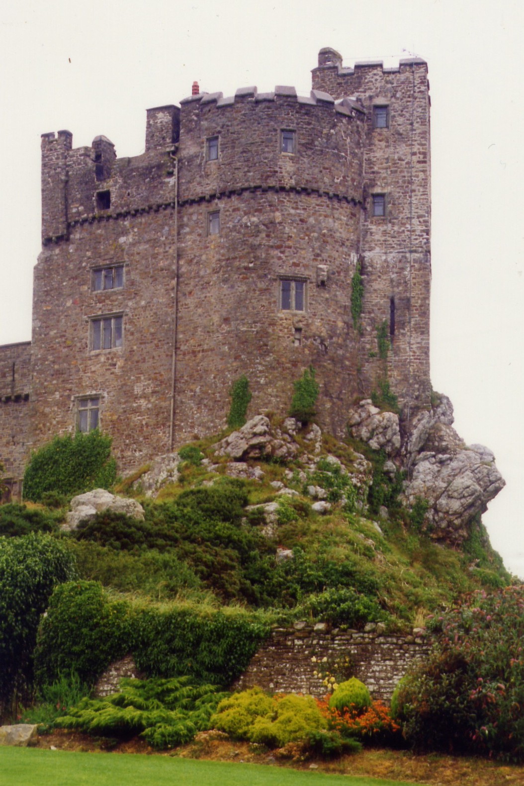
Roch Castle

Roch Castle (Welsh: Castell y Garn) is a 12th-century castle, located at Roch near Haverfordwest, Wales. Built by Norman knight Adam de Rupe in the second...

Nearby Amenities

Located within 500m of 51.812081,-5.0478836
Direction: SE
Generator Method: photovoltaic
Generator Output Electricity: yes
Generator Solar Modules: 16
Generator Source: solar
Generator Type: solar_photovoltaic_panel
Location: roof
Power: generator
Lat/Long: 51.813394/-5.0533998
Ford: yes
Lat/Long: 51.8137933/-5.0528276
Lower Honey Hook
Place: farm
Lat/Long: 51.8137661/-5.0535131
Give Way
Direction: backward
Lat/Long: 51.8082966/-5.0461832
Place: farm
Lat/Long: 51.8081136/-5.0472436
The data included in this document is from www.openstreetmap.org. The data is made available under ODbL.

Have you been to West Dunston?

Leave your review of West Dunston below (or comments, questions and feedback).