West Drumoyne
Settlement in Lanarkshire
Scotland
West Drumoyne
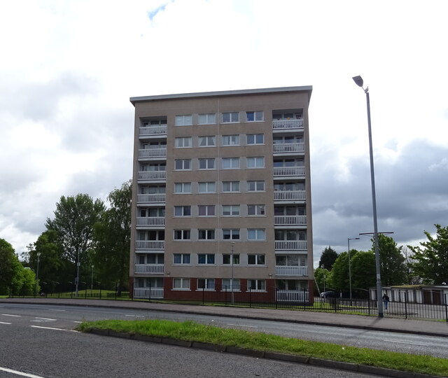
West Drumoyne is a residential area located in the county of Lanarkshire, Scotland. Situated on the western outskirts of Glasgow, it is part of the larger Drumoyne district. The area is primarily residential, offering a mix of housing options including detached and semi-detached houses, as well as apartments and flats.
West Drumoyne is known for its peaceful atmosphere and family-friendly environment. The neighborhood boasts well-maintained streets and green spaces, providing residents with ample opportunities for outdoor activities. The nearby Drumoyne Sports Centre offers various recreational facilities including a swimming pool, sports halls, and fitness classes.
Residents of West Drumoyne enjoy convenient access to a range of amenities and services. The area is well-served by local shops, supermarkets, and convenience stores, catering to daily needs. There are also several schools in the vicinity, making it an attractive location for families with children.
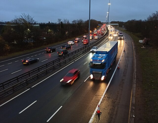
Transportation options in West Drumoyne are excellent, with several bus routes connecting the area to Glasgow city center and surrounding neighborhoods. The nearby M8 motorway provides easy access to other parts of Lanarkshire and beyond.
Overall, West Drumoyne offers a pleasant and peaceful living environment, combining the benefits of suburban living with the convenience of nearby urban amenities. Its proximity to Glasgow and excellent transportation links make it an attractive choice for both families and professionals looking for a tranquil place to call home.
If you have any feedback on the listing, please let us know in the comments section below.
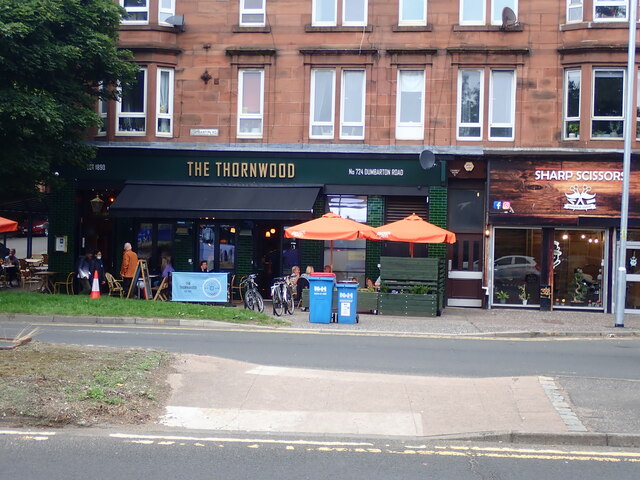
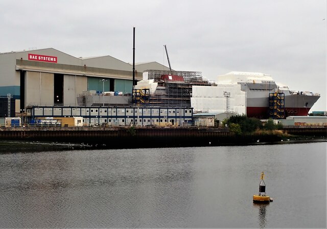
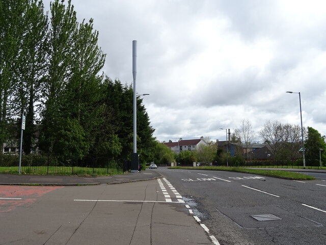
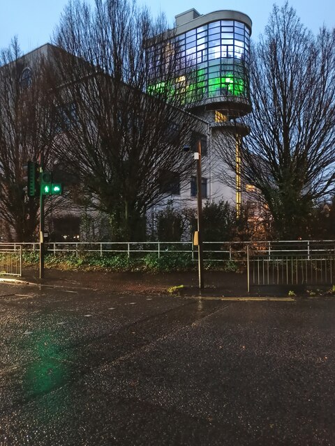
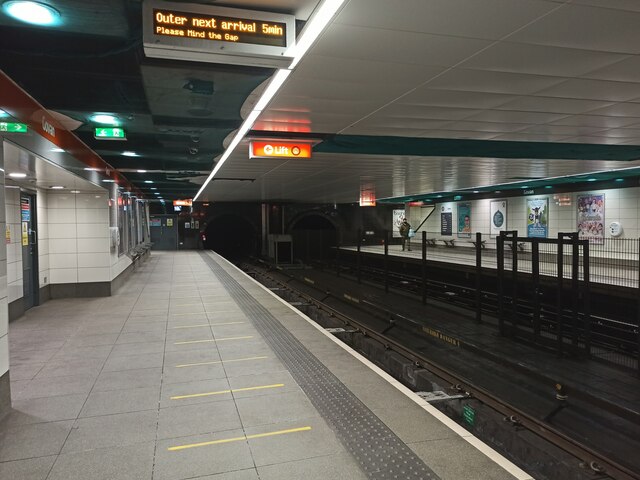
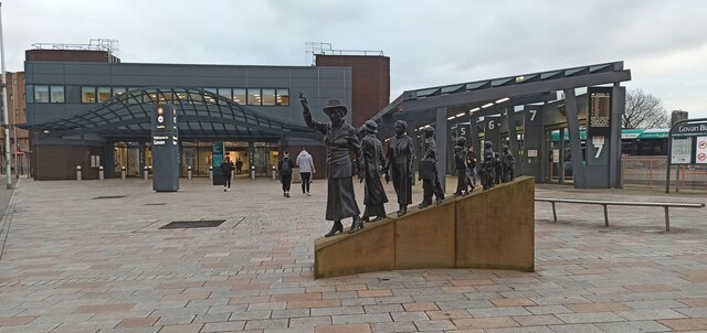
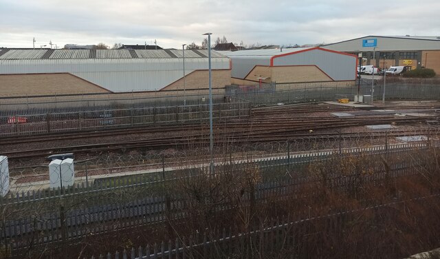
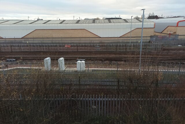
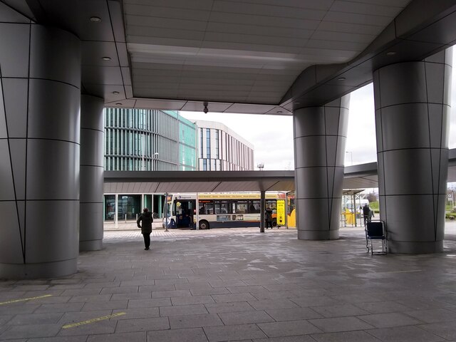
West Drumoyne Images
Images are sourced within 2km of 55.855109/-4.3360357 or Grid Reference NS5364. Thanks to Geograph Open Source API. All images are credited.


West Drumoyne is located at Grid Ref: NS5364 (Lat: 55.855109, Lng: -4.3360357)
Unitary Authority: City of Glasgow
Police Authority: Greater Glasgow
What 3 Words
///plants.award.gifts. Near Renfrew, Renfrewshire
Nearby Locations
Related Wikis

Drumoyne
Drumoyne (; Scottish Gaelic: Druim Uaine) is now a district in the Scottish city of Glasgow. It is situated south of the River Clyde and is part of the...
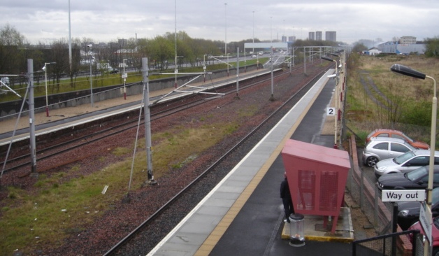
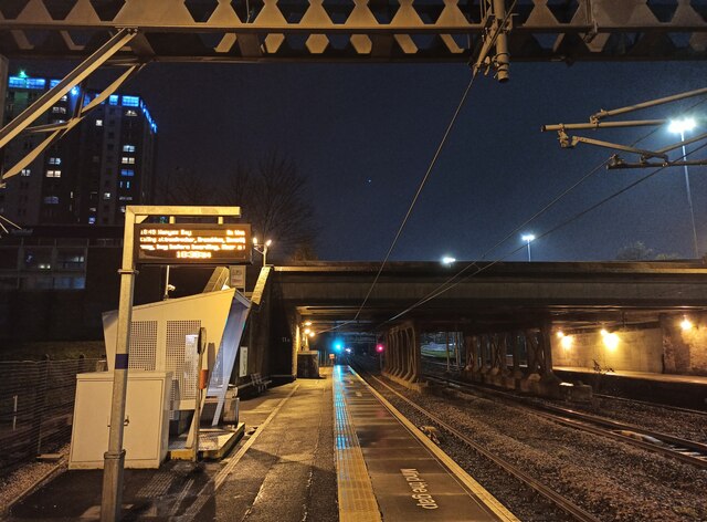
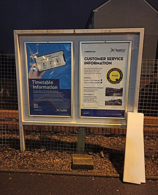
Cardonald railway station
Cardonald railway station is located in the Cardonald district of Glasgow, Scotland, also serving parts of the Drumoyne neighbourhood located on the opposite...

Govan High School
Govan High School is a secondary school situated in Govan, Glasgow, Scotland. It opened on its current site in 1969 and in 2010 it celebrated its centenary...
St Anthony's F.C.
St Anthony's Football Club is a Scottish non-league football club based in Glasgow. Nicknamed the Ants, they play in green-and-white hooped kits and currently...

Craigton Cemetery
Craigton Cemetery is a cemetery in south-west Glasgow dating from the mid-19th century. It stands on Berryknowes Road. The cemetery has a Jewish section...
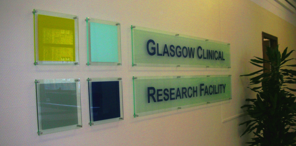
Glasgow Clinical Research Facility
The Glasgow Clinical Research Facility (Glasgow CRF) is a research centre at the Queen Elizabeth University Hospital in Govan, Glasgow, Scotland. ��2...
St Cadoc's Y.C.
St Cadoc's Youth Club is a Scottish football club based in Newton Mearns, East Renfrewshire. They were formed in 1987 by David Jones, janitor at St Cadoc...
Glasgow Women F.C.
Glasgow Girls & Women Football Club, whose first team is branded as Glasgow Women F.C., is a Scottish women's association football club based in the East...
Nearby Amenities
Located within 500m of 55.855109,-4.3360357Have you been to West Drumoyne?
Leave your review of West Drumoyne below (or comments, questions and feedback).