West Drayton

Settlement in Middlesex

England

West Drayton

Station Road bridge, West Drayton The first West Drayton station (1838-1884) was to the left of the bridge. The current station is to the right of it.
Station Road bridge, West Drayton Credit: Nigel Thompson

West Drayton is a suburban town located in the London Borough of Hillingdon, Middlesex, England. Situated approximately 15 miles west of central London, it lies near the border of Greater London and Buckinghamshire. West Drayton is primarily a residential area, with a mix of housing developments ranging from post-war estates to more modern properties.

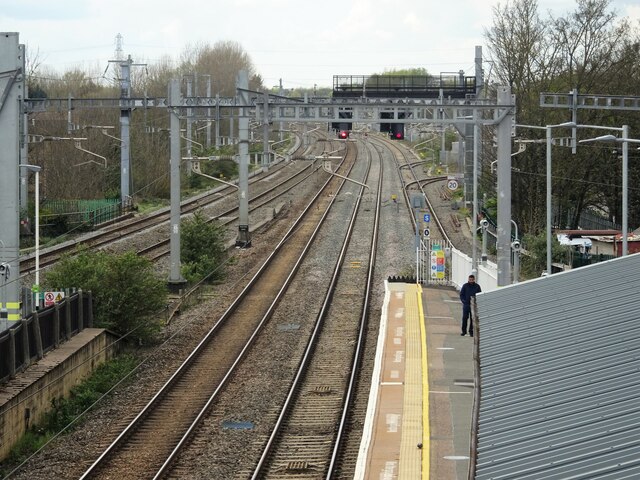
The town benefits from excellent transportation links, making it appealing to commuters. West Drayton railway station provides frequent services to London Paddington, with journey times of around 25 minutes. It is also well-connected to nearby towns and cities such as Slough, Reading, and Oxford. The town is conveniently located close to the M4 and M25 motorways, offering easy access to the rest of the country.

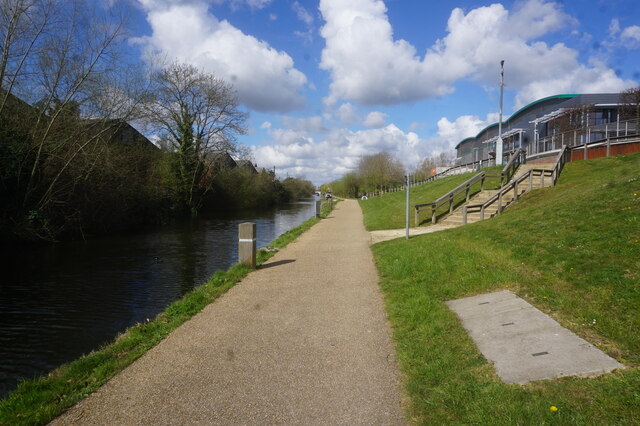
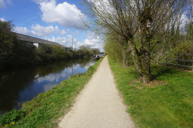
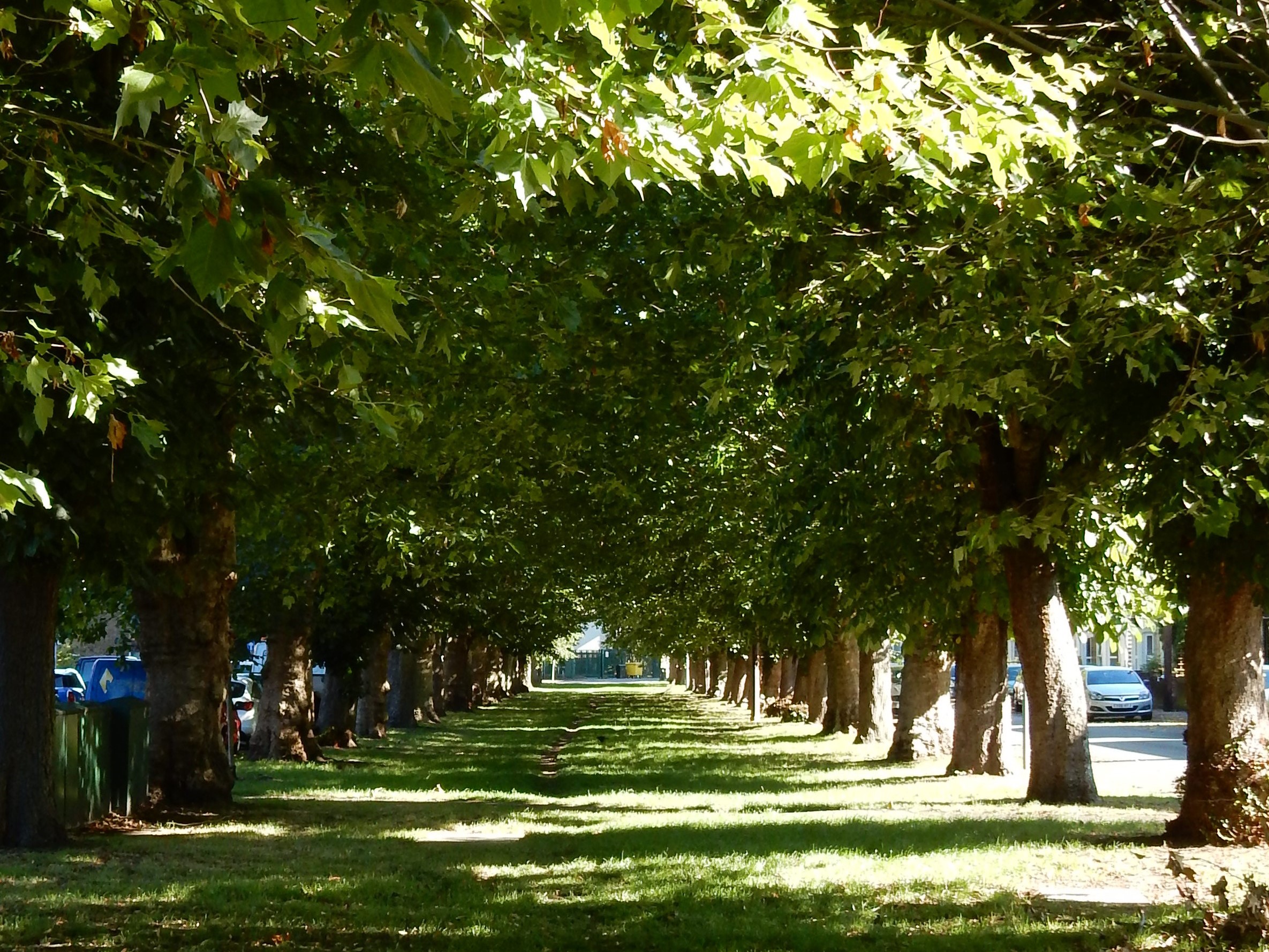
West Drayton has a small town center with a variety of shops, supermarkets, and local amenities. The nearby High Street offers a range of independent retailers, cafes, and restaurants. There are also several primary schools and secondary schools within the area, making it a popular choice for families. For recreational activities, the town is surrounded by green spaces, including parks and nature reserves.

While West Drayton does not have many notable landmarks or tourist attractions, its proximity to London and its affordable housing options make it an attractive place to live for those seeking a quieter suburban lifestyle while still having easy access to the capital city.

If you have any feedback on the listing, please let us know in the comments section below.
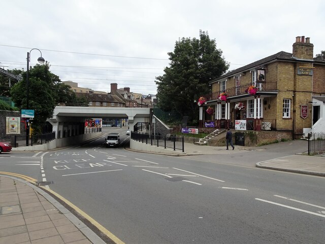
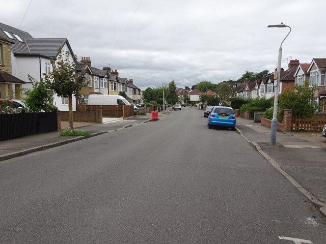
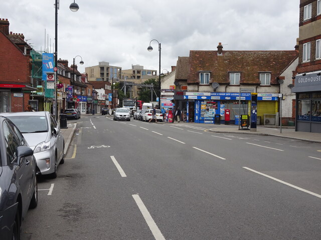
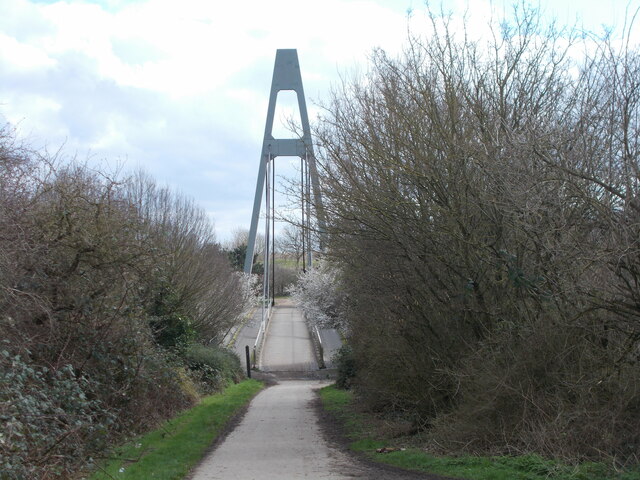
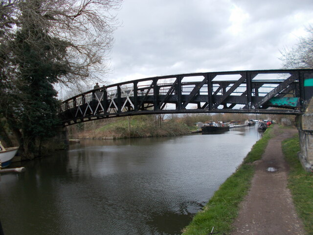
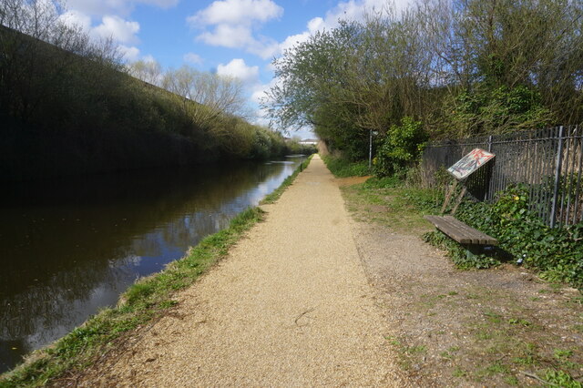
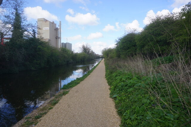
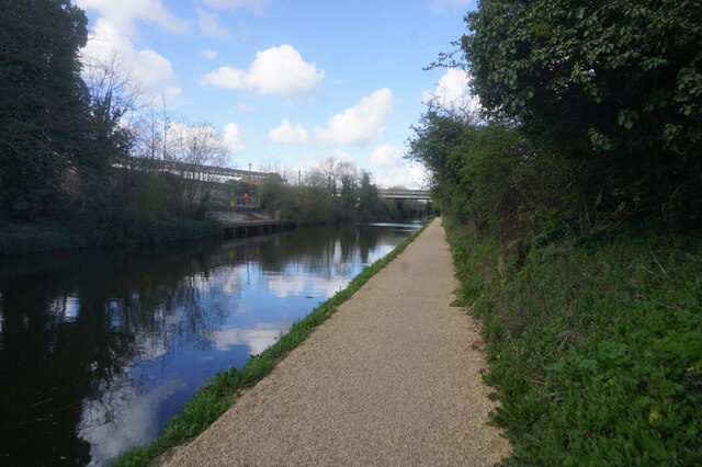
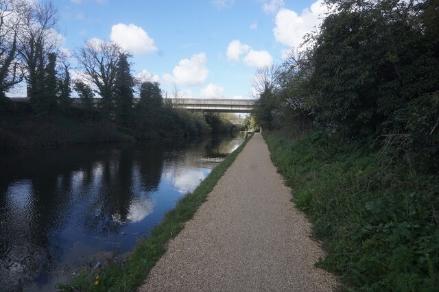
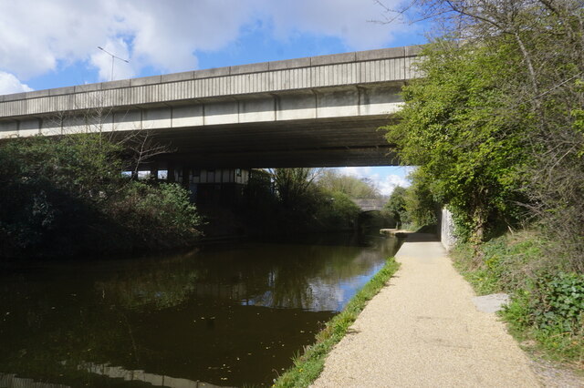
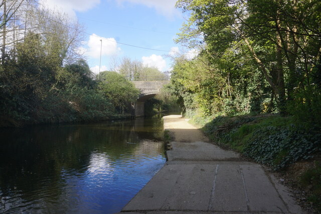
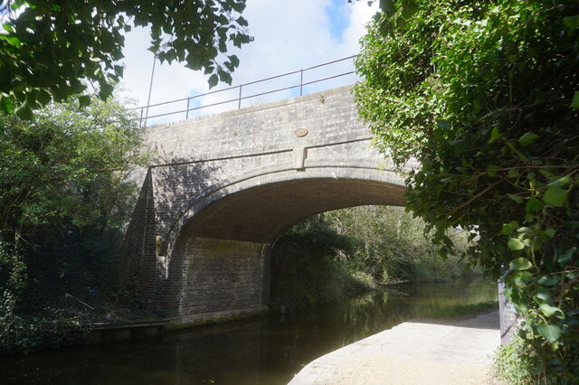
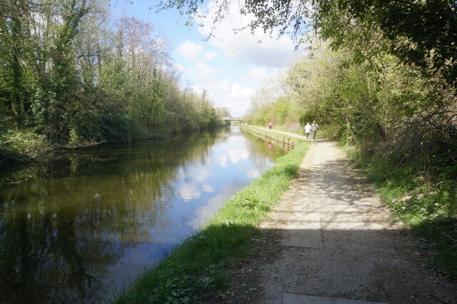
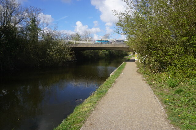
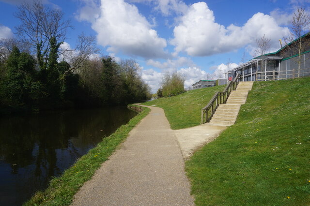
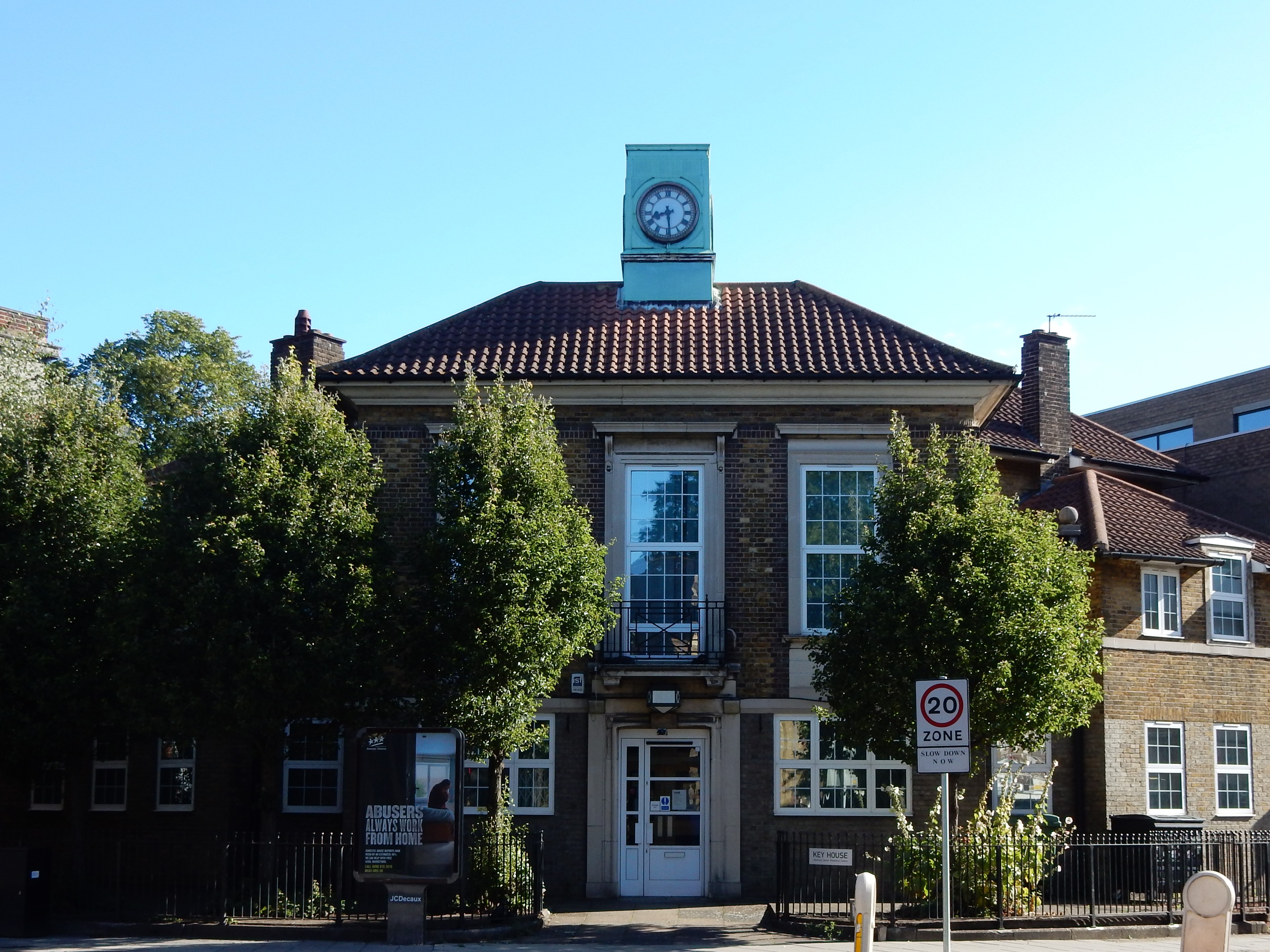
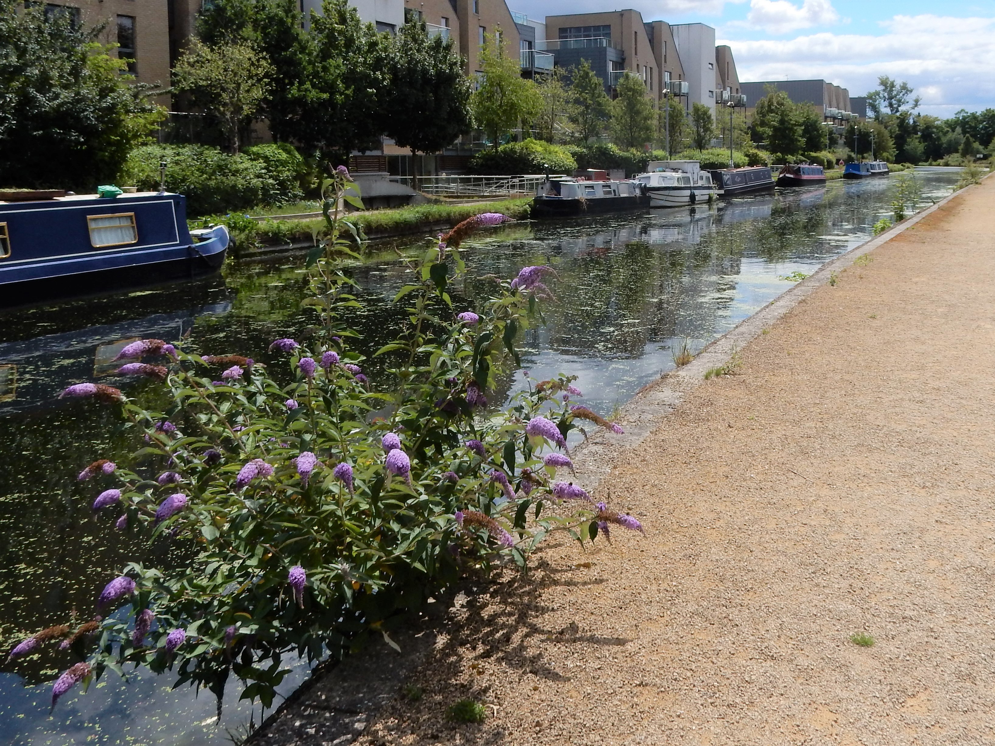
West Drayton Images

Images are sourced within 2km of 51.50268/-0.46674643 or Grid Reference TQ0679. Thanks to Geograph Open Source API. All images are credited.

Station Road bridge, West Drayton The first West Drayton station (1838-1884) was to the left of the bridge. The current station is to the right of it.
Station Road bridge, West Drayton
The first West Drayton station (1838-1884) was to the left of the bridge. The current station is to the right of it.
Ferrers Avenue, West Drayton
Station Road, West Drayton
An A-shaped bridge at Stockley Park Stockley Park is effectively divided into two by a dual carriageway and this bridge enables safe pedestrian access from one side to the other.
An A-shaped bridge at Stockley Park
Stockley Park is effectively divided into two by a dual carriageway and this bridge enables safe pedestrian access from one side to the other.
Bridge at the Slough Arm of the canal Another point on the London Loop between West Drayton and Uxbridge - along with Stockley Park - where the route digresses from the Grand Union Canal before returning to it later.
Bridge at the Slough Arm of the canal
Another point on the London Loop between West Drayton and Uxbridge - along with Stockley Park - where the route digresses from the Grand Union Canal before returning to it later.
West Drayton 1st railway station (site), Greater London Opened in 1838 by the Great Western Railway on the line from London Paddington to Reading, this station closed in 1884 when the main line was quadrupled, resulting in the current station being built 200m further east.
View west towards Iver and Slough, from the current station. From 1856 it was the junction for Uxbridge Vine Street and later, Staines West. The first station was located beyond the road underbridge, at the point where the lines diverging to the right can be seen.
Fore more information, see <span class="nowrap"><a title="http://disused-stations.org.uk/w/west_drayton/index.shtml" rel="nofollow ugc noopener" href="http://disused-stations.org.uk/w/west_drayton/index.shtml">Link</a><img style="margin-left:2px;" alt="External link" title="External link - shift click to open in new window" src="https://s1.geograph.org.uk/img/external.png" width="10" height="10"/></span>
West Drayton 1st railway station (site), Greater London
Opened in 1838 by the Great Western Railway on the line from London Paddington to Reading, this station closed in 1884 when the main line was quadrupled, resulting in the current station being built 200m further east. View west towards Iver and Slough, from the current station. From 1856 it was the junction for Uxbridge Vine Street and later, Staines West. The first station was located beyond the road underbridge, at the point where the lines diverging to the right can be seen. Fore more information, see LinkExternal link
Grand Union Canal towards bridge #196
Grand Union Canal at bridge #196
Grand Union Canal towards bridge #195
Grand Union Canal towards bridge #194
Grand Union Canal at bridge #194
Grand Union Canal towards bridge #193
Show me another place!

West Drayton is located at Grid Ref: TQ0679 (Lat: 51.50268, Lng: -0.46674643)

Unitary Authority: Hillingdon

Police Authority: Metropolitan

What 3 Words

///than.audit.slips. Near West Drayton, London

Nearby Locations

Drayton, West West Drayton

Related Wikis

West Drayton

West Drayton is a suburban town in the London Borough of Hillingdon. It was an ancient parish in the county of Middlesex and from 1929 was part of the...

RAF West Drayton

RAF West Drayton was a non-flying Royal Air Force station in West Drayton, within the London Borough of Hillingdon, which served as the main centre for...

London Terminal Control Centre

The London Terminal Control Centre (LTCC) was an air traffic control centre based in West Drayton, in the London Borough of Hillingdon, England, approximately...

West Drayton railway station

West Drayton railway station serves West Drayton and Yiewsley, western suburbs of London. It is served and managed by the Elizabeth line. It is 13 miles...

Yiewsley and West Drayton Urban District

Yiewsley and West Drayton was a local government district in Middlesex, England from 1929 to 1965. Its area became the south-west of the London Borough...

Otter Dock

Otter Dock was a branch of the Grand Junction Canal (renamed Grand Union Canal from 1929) in Yiewsley, Middlesex. In March 1818, permission was obtained...

Yiewsley

Yiewsley ( YOOZ-lee) is a large suburban village in the London Borough of Hillingdon, England, 2 miles (3 km) south of Uxbridge, the borough's commercial...

London Borough of Hillingdon

The London Borough of Hillingdon () is the largest and westernmost borough in West London, England. It was formed in 1965 from the districts of Hayes and...

Nearby Amenities

Located within 500m of 51.50268,-0.46674643
Crossing
Bicycle: yes
Crossing: traffic_signals
Crossing Ref: toucan
Lat/Long: 51.4988633/-0.4630185
Turning Circle
Lat/Long: 51.4999377/-0.4615078
Turning Circle
Lat/Long: 51.5014053/-0.4618687
Turning Circle
Lat/Long: 51.5009721/-0.4625539
Crossing
Crossing: unmarked
Crossing Island: yes
Traffic Calming: island
Lat/Long: 51.4983939/-0.4684892
Turning Circle
Lat/Long: 51.501683/-0.4643221
West Drayton
Place: suburb
Wikidata: Q7984991
Lat/Long: 51.503513/-0.4662704
Source: survey
Lat/Long: 51.5006122/-0.4697942
Ref GB Tflcid: RWG243091
Traffic Calming: hump
Lat/Long: 51.5038269/-0.4646891
Turning Circle
Lat/Long: 51.5054767/-0.4711663
Turning Circle
Lat/Long: 51.5049275/-0.4708314
Traffic Signals
Lat/Long: 51.5025009/-0.4665686
Crossing
Crossing: traffic_signals
Lat/Long: 51.5041435/-0.4670401
Traffic Signals
Traffic Signals Direction: backward
Lat/Long: 51.5043369/-0.4669874
Bus Stop
Church Road
Bus: yes
Local Ref: K
Naptan AtcoCode: 490005291K
Naptan Bearing: W
Naptan CommonName: Church Road Station Road
Naptan Indicator: Stop K
Naptan Verified: no
Public Transport: platform
Lat/Long: 51.5058626/-0.4700091
Church Road
Bus: yes
Naptan AtcoCode: 490005291S
Naptan Bearing: S
Naptan CommonName: Church Road Station Road
Naptan Indicator: Stop
Naptan Verified: no
Public Transport: stop_position
Lat/Long: 51.5047111/-0.4682397
Bus Stop
Kings Road
Naptan AtcoCode: 490008811E
Naptan Bearing: N
Naptan CommonName: Kings Road Porters Way
Naptan Street: PORTERS WAY
Naptan Verified: no
Public Transport: platform
Lat/Long: 51.5044623/-0.4650825
Bus Stop
Berberis Walk
Naptan AtcoCode: 490008996E1
Naptan Bearing: E
Naptan CommonName: Berberis Walk Laurel Lane
Naptan Indicator: Stop
Naptan Street: LAUREL LANE
Naptan Verified: no
Public Transport: platform
Lat/Long: 51.4988831/-0.4694376
Bus Stop
Berberis Walk
Naptan AtcoCode: 490008996W1
Naptan Bearing: W
Naptan CommonName: Berberis Walk Laurel Lane
Naptan Indicator: Stop
Naptan Street: LAUREL LANE
Naptan Verified: no
Public Transport: platform
Lat/Long: 51.4988657/-0.4702124
Bus Stop
Maxwell Road
Naptan AtcoCode: 490009727N
Naptan Bearing: N
Naptan CommonName: Maxwell Road Sipson Road
Naptan Verified: no
Public Transport: platform
Lat/Long: 51.5006289/-0.4650695
Bus Stop
Maxwell Road
Naptan AtcoCode: 490009727S
Naptan Bearing: N
Naptan CommonName: Maxwell Road Sipson Road
Naptan Verified: no
Public Transport: platform
Lat/Long: 51.4998188/-0.464028
Bus Stop
North Road
Naptan AtcoCode: 490010401E
Naptan Bearing: N
Naptan CommonName: North Road (UB7)
Naptan Street: PORTERS WAY
Naptan Verified: no
Public Transport: platform
Lat/Long: 51.5044447/-0.4601034
Bus Stop
North Road
Naptan AtcoCode: 490010401W
Naptan Bearing: N
Naptan CommonName: North Road (UB7)
Naptan Street: PORTERS WAY
Naptan Verified: no
Public Transport: platform
Lat/Long: 51.504365/-0.4605713
Bus Stop
Porters Way
Bus: yes
Naptan AtcoCode: 490014424N
Naptan Bearing: N
Naptan CommonName: West Drayton Police Station
Naptan Verified: no
Public Transport: platform
Ref: 75805
Source Ref: naptan
Lat/Long: 51.5035645/-0.4670381
Bus Stop
Porters Way
Naptan AtcoCode: 490014424S
Naptan Bearing: S
Naptan CommonName: West Drayton Police Station
Naptan Verified: no
Public Transport: platform
Lat/Long: 51.5036059/-0.4668911
Bus Stop
Queens Road
Naptan AtcoCode: 490014424W
Naptan Bearing: W
Naptan CommonName: West Drayton Police Station
Naptan Street: PORTERS WAY
Naptan Verified: no
Public Transport: platform
Lat/Long: 51.504325/-0.4662909
Barrier: bollard
Lat/Long: 51.5053271/-0.4628482
Traffic Signals
Traffic Signals Direction: forward
Lat/Long: 51.4988961/-0.4630703
Crossing
Crossing: uncontrolled
Crossing Ref: zebra
Lat/Long: 51.4990342/-0.4682034
Bench
Lat/Long: 51.5029641/-0.472858
Bench
Lat/Long: 51.503457/-0.4678686
Crossing
Bicycle: yes
Crossing: traffic_signals
Crossing Ref: toucan
Lat/Long: 51.5022638/-0.466451
Crossing
Bicycle: yes
Crossing: traffic_signals
Crossing Ref: toucan
Lat/Long: 51.5026411/-0.4668803
Atm
Operator: Tesco Express
Lat/Long: 51.5030702/-0.4665368
Restaurant
Sipson Tandoori
Addr Housenumber: 5,9
Addr Postcode: UB7 9JJ
Addr Street: Harmondsworth Road
Cuisine: indian
Opening Hours: Mo-Su 12:00-14:00, 17:00-22:30
Phone: +44 1895 435515
Website: https://sipsontandoori.com/
Lat/Long: 51.5020121/-0.4668361
Del Boy's Independent Barbers
Addr Housenumber: 3
Addr Postcode: UB7 9JJ
Addr Street: Harmondsworth Road
Opening Hours: Mo, Sa 09:00-14:00; Tu-Fr 09:00-18:00
Phone: +44 7909 044263
Shop: hairdresser
Website: https://delboysbarbershop.co.uk/
Lat/Long: 51.5020793/-0.4668065
Fast Food
Favorite Chicken & Ribs West Drayton
Addr Housenumber: 6
Addr Postcode: UB7 9DP
Addr Street: Sipson Road
Brand Wikidata: Q120070660
Opening Hours: Mo-Su 11:00-23:00
Phone: +44 1895 434466
Website: https://favorite.co.uk/store-finder/favorite-chicken-ribs-west-drayton.html
Lat/Long: 51.5020996/-0.466603
Fuel
Gulf West Drayton
Lat/Long: 51.5062894/-0.4699294
Traffic Signals
Lat/Long: 51.5042821/-0.4671391
Traffic Signals
Lat/Long: 51.5026182/-0.4668987
Traffic Signals
Traffic Signals Direction: backward
Lat/Long: 51.5027502/-0.4665658
Traffic Signals
Lat/Long: 51.5028513/-0.4668102
Crossing
Bicycle: yes
Crossing: traffic_signals
Crossing Ref: toucan
Lat/Long: 51.5025682/-0.4668171
Crossing
Crossing: unmarked
Lat/Long: 51.4990065/-0.4680396
Crossing
Crossing: unmarked
Lat/Long: 51.4982946/-0.4683524
Barrier: height_restrictor
Lat/Long: 51.4987383/-0.4668503
Crossing
Crossing: unmarked
Lat/Long: 51.4987316/-0.4684683
War Memorial
Historic: memorial
Inscription: - LEST WE FORGET -
Material: stone
Memorial: war_memorial
Lat/Long: 51.4999161/-0.4680282
Drinking Water
Man Made: water_tap
Lat/Long: 51.5001142/-0.4688717
Post Box
Collection Times: Mo-Fr 17:30; Sa 10:30
Operator: Royal Mail
Operator Wikidata: Q638098
Lat/Long: 51.5049662/-0.4695089
Pub
The Six Bells
Addr Housenumber: 125
Addr Postcode: UB7 7ND
Addr Street: Station Road
Opening Hours: Mo-Su 11:30-23:00
Outdoor Seating: yes
Phone: +44 1895 713367
Lat/Long: 51.5066528/-0.4699752
King Paget Hotel
Addr Housenumber: 171
Addr Street: Station Road
Phone: +44 1895 442266
Tourism: hotel
Lat/Long: 51.5051411/-0.4688639
Bench
Lat/Long: 51.501248/-0.460137
Entrance: emergency
Lat/Long: 51.5024643/-0.4676318
Sky Nights Hotel
Tourism: hotel
Lat/Long: 51.5064564/-0.4698204
College
Personal Licence Courses UK Ltd
Lat/Long: 51.5060951/-0.4698244
Ferring
Office: company
Lat/Long: 51.5038658/-0.4681893
North South Wines
Office: company
Lat/Long: 51.5038775/-0.4687083
Kore
Office: company
Lat/Long: 51.5036989/-0.4686682
Parking
Access: customers
Parking: surface
Surface: asphalt
Lat/Long: 51.5011545/-0.4685262
Parking
Access: private
Parking: surface
Surface: asphalt
Lat/Long: 51.5027781/-0.468387
Bus Stop
Church Road
Naptan AtcoCode: 490005291S
Naptan Bearing: S
Naptan CommonName: Church Road Station Road
Naptan Indicator: Stop
Naptan Verified: no
Public Transport: platform
Lat/Long: 51.5047575/-0.4681951
Give Way
Direction: forward
Lat/Long: 51.4992146/-0.4680484
Traffic Calming: table
Lat/Long: 51.4995352/-0.4678945
Barrier: bollard
Lat/Long: 51.4995306/-0.4678005
Traffic Calming: choker
Lat/Long: 51.498397/-0.4684981
Traffic Calming: choker
Lat/Long: 51.5032036/-0.4640984
Bicycle Parking
Bicycle Parking: stands
Capacity: 6
Covered: yes
Ref GB Tflcid: RWG238253
Lat/Long: 51.5029144/-0.4665613
Ref GB Tflcid: RWG243086
Traffic Calming: hump
Lat/Long: 51.5046827/-0.4667963
Ref GB Tflcid: RWG243083
Traffic Calming: hump
Lat/Long: 51.5048904/-0.4610971
Ref GB Tflcid: RWG242450
Traffic Calming: hump
Lat/Long: 51.5061904/-0.4665166
Ref GB Tflcid: RWG242446
Traffic Calming: hump
Lat/Long: 51.5070615/-0.4670366
Ref GB Tflcid: RWG242458
Traffic Calming: hump
Lat/Long: 51.5062812/-0.4626958
Ref GB Tflcid: RWG242457
Traffic Calming: hump
Lat/Long: 51.5056125/-0.4623344
Ref GB Tflcid: RWG242455
Traffic Calming: hump
Lat/Long: 51.505648/-0.46334
Ref GB Tflcid: RWG243082
Traffic Calming: yes
Lat/Long: 51.5045582/-0.461141
Bicycle Parking
Bicycle Parking: stands
Capacity: 2
Ref GB Tflcid: RWG232460
Lat/Long: 51.5020955/-0.4664035
Bicycle Parking
Bicycle Parking: stands
Capacity: 1
Ref GB Tflcid: RWG232451
Lat/Long: 51.5015218/-0.465978
Bicycle Parking
Bicycle Parking: stands
Capacity: 2
Ref GB Tflcid: RWG232462
Lat/Long: 51.5021484/-0.4664554
Street Lamp
Lat/Long: 51.5028894/-0.4669114
Street Lamp
Lat/Long: 51.5028718/-0.4666779
Street Lamp
Lat/Long: 51.5041833/-0.4669047
Street Lamp
Lat/Long: 51.5025464/-0.4667568
Street Lamp
Lat/Long: 51.5025186/-0.46684
Street Lamp
Lat/Long: 51.5021993/-0.4669432
Street Lamp
Lat/Long: 51.5016834/-0.4673068
Street Lamp
Lat/Long: 51.5013094/-0.4674608
Street Lamp
Lat/Long: 51.5010476/-0.4675255
Street Lamp
Lat/Long: 51.5007685/-0.4676041
Traffic Signals
Traffic Signals Direction: backward
Lat/Long: 51.5040462/-0.4670249
Traffic Signals
Traffic Signals Direction: forward
Lat/Long: 51.5043868/-0.4672596
The data included in this document is from www.openstreetmap.org. The data is made available under ODbL.

Have you been to West Drayton?

Leave your review of West Drayton below (or comments, questions and feedback).