Dereham, West

Settlement in Norfolk King's Lynn and West Norfolk

England

Dereham, West

Path across a field Past a small pond in the field.
Path across a field Credit: Hugh Venables

Dereham, located in the West of Norfolk, England, is a market town with a rich history dating back to Roman times. Situated approximately 15 miles west of Norwich, the town is easily accessible via the A47 and has a population of around 20,000 residents.

Dereham, also known as East Dereham, is famous for its market, which has been held since the 13th century and continues to attract locals and visitors alike. The town's market square is a bustling hub of activity, with a variety of stalls offering fresh produce, clothing, and other goods. Additionally, there are several independent shops, cafes, and restaurants scattered throughout the town center, providing a vibrant and diverse local business scene.

The town boasts a number of historical landmarks, including the 16th-century Bishop Bonner's Cottage and the imposing St. Nicholas Church, which dates back to the 13th century. The nearby Gressenhall Farm and Workhouse Museum is also a popular attraction, offering visitors a glimpse into Norfolk's agricultural and industrial past.

Dereham is surrounded by picturesque Norfolk countryside, making it an ideal base for outdoor activities such as walking, cycling, and birdwatching. The town is also well-connected by public transportation, with regular bus services to neighboring towns and villages.

Overall, Dereham is a charming market town that blends historical significance with a thriving local community. Its convenient location, rich heritage, and natural beauty make it an appealing destination for both residents and tourists.

If you have any feedback on the listing, please let us know in the comments section below.

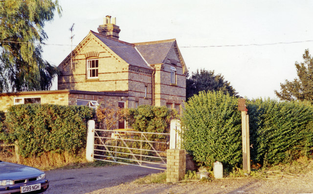
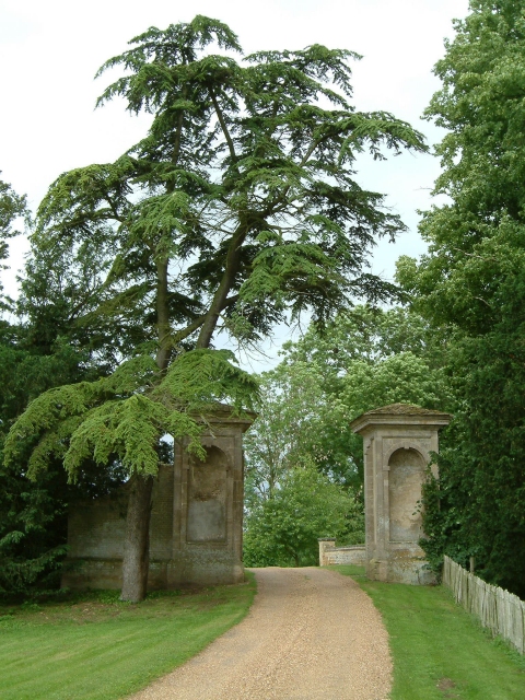
Dereham, West Images

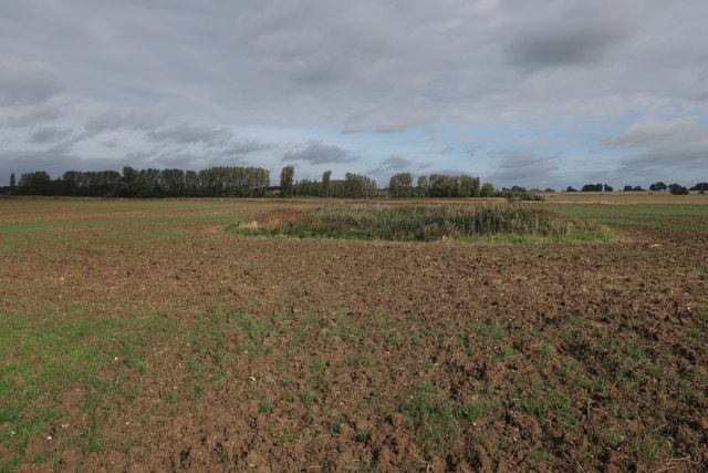
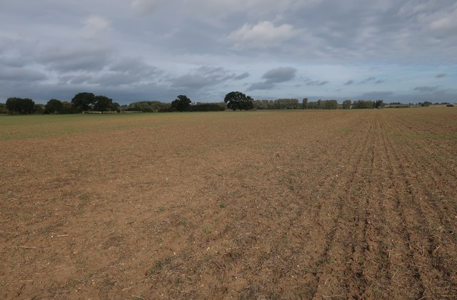
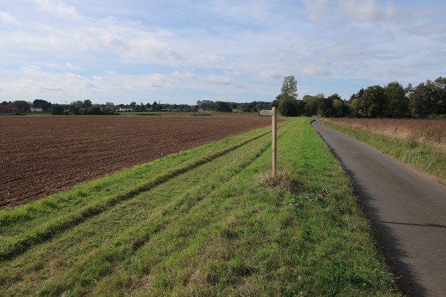
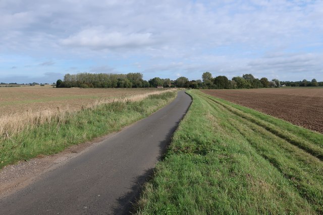
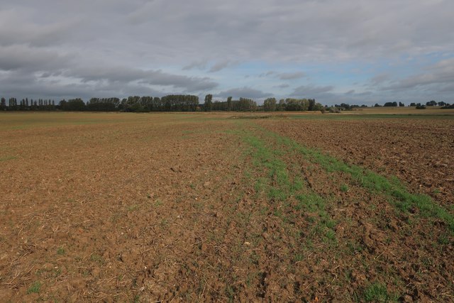
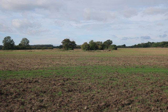
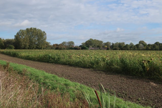
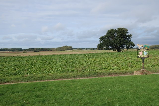
Images are sourced within 2km of 52.581636/0.448135 or Grid Reference TF6501. Thanks to Geograph Open Source API. All images are credited.

Path across a field Past a small pond in the field.
Path across a field
Past a small pond in the field.
Footpath from Ryston Road Not obvious on the ground, but the field had been recently worked.
Footpath from Ryston Road
Not obvious on the ground, but the field had been recently worked.
Footpath from Ryston Road
Ryston Road towards West Dereham
Footpath across a field
Field west of West Dereham
Field of sunflowers, West Dereham
Fields by West Dereham
Glazewing skips Stored close to the recycling plant.
Glazewing skips
Stored close to the recycling plant.
Station Road bridge Over the Cut-off Channel. See <a href="https://www.geograph.org.uk/photo/526169">TL6699 : Passengers no more!</a> for the source of the road name.
Station Road bridge
Over the Cut-off Channel. See TL6699 : Passengers no more! for the source of the road name.
Sugar beet lorry on College Farm Heading for <a href="https://www.geograph.org.uk/photo/575821">TL6597 : Wissington Sugar Factory</a>. They don't make for pleasant cycling but there aren't many other options for crossing the River Wissey. The sugar beet campaign started on September 14th and will run until late winter.
Sugar beet lorry on College Farm
Heading for TL6597 : Wissington Sugar Factory. They don't make for pleasant cycling but there aren't many other options for crossing the River Wissey. The sugar beet campaign started on September 14th and will run until late winter.
College Road bridge over Cut-off Channel With a lorry heading for <a href="https://www.geograph.org.uk/photo/575821">TL6597 : Wissington Sugar Factory</a>.
College Road bridge over Cut-off Channel
With a lorry heading for TL6597 : Wissington Sugar Factory.
Abbey & West Dereham station (remains) View eastward, towards Stoke Ferry: ex-GER Denver - Stoke Ferry branch. The station and branch lost their passenger service from 22/9/30, but goods continued on the branch until 19/4/65 - to Abbey until 31/1/66.
Abbey & West Dereham station (remains)
View eastward, towards Stoke Ferry: ex-GER Denver - Stoke Ferry branch. The station and branch lost their passenger service from 22/9/30, but goods continued on the branch until 19/4/65 - to Abbey until 31/1/66.
Crop field off College Road (B1160)
College Road (B1160)  Heading north east towards Wereham.
College Road (B1160)
Heading north east towards Wereham.
The Cut-Off Channel This takes the water from some of the easternmost fenland. Viewed from the bridge on College Road, the B1160.
The Cut-Off Channel
This takes the water from some of the easternmost fenland. Viewed from the bridge on College Road, the B1160.
Straw bales, Wereham
Chiaroscuro in the Great Ouse Cutoff Channel
Show me another place!

Dereham, West is located at Grid Ref: TF6501 (Lat: 52.581636, Lng: 0.448135)

Administrative County: Norfolk

District: King's Lynn and West Norfolk

Police Authority: Norfolk

What 3 Words

///overgrown.scrapping.lake. Near Stoke Ferry, Norfolk

Related Wikis

West Dereham

West Dereham is a village and civil parish in the English county of Norfolk. It covers an area of 13.51 km2 (5.22 sq mi) and had a population of 450 at...

West Dereham Abbey

West Dereham Abbey was an abbey in Norfolk, England. St Mary's Abbey, West Dereham, was founded in 1188 by Hubert Walter, Dean of York, at his birthplace...

Downham Rural District

Downham Rural District was a rural district in Norfolk, England from 1894 to 1974. It was formed under the Local Government Act 1894 based on the Downham...

Abbey and West Dereham railway station

Abbey and West Dereham railway station was a railway station on the line between Downham Market and Stoke Ferry. It served the village of West Dereham...

Nearby Amenities

Located within 500m of 52.581636,0.448135
West Dereham
Is In: Norfolk, England
Place: village
Postal Code: PE33
Wikidata: Q2239667
Wikipedia: en:West Dereham
Lat/Long: 52.5811707/0.4461437
Bus Stop
Station Road, adj
Naptan AtcoCode: 2900D042
Naptan Bearing: NW
Naptan BusStopType: CUS
Naptan CommonName: Station Road
Naptan Indicator: adj
Naptan Locality: West Dereham
Naptan NaptanCode: nfoamgam
Naptan Street: Hilgay Road
Naptan Verified: no
Source: naptan_import
Lat/Long: 52.5802584/0.4458739
Bus Stop
Church Road junction, nr
Naptan AtcoCode: 2900D043
Naptan Bearing: SE
Naptan BusStopType: CUS
Naptan CommonName: Church Road junction
Naptan Indicator: nr
Naptan Locality: West Dereham
Naptan NaptanCode: nfoamgap
Naptan Street: West Dereham Road
Naptan Verified: no
Source: naptan_import
Lat/Long: 52.5814661/0.4483474
Fixme: Does a Public Footpath head WSW from here?
Note: Definitive Statement and historic OS 1:25k suggest West Dereham FP 11 continues
Lat/Long: 52.5784129/0.4433639
Barrier: kissing_gate
Lat/Long: 52.579763/0.4460515
Post Box
Collection Times: Mo-Fr 16:00; Sa 12:00
Post Box Mounting: pier
Post Box Type: lamp
Ref: PE33 185
Royal Cypher: EIIR
Royal Cypher Wikidata: Q33102113
Lat/Long: 52.5797384/0.4459151
Telephone
Lat/Long: 52.5797338/0.4459814
West Dereham
Colour: grey
Man Made: village_sign
Material: metal
Lat/Long: 52.5805731/0.4468182
Fixme: Does Public Footpath continue ESE from here?
Lat/Long: 52.5811512/0.4430551
Give Way
Lat/Long: 52.5803295/0.446418
Give Way
Lat/Long: 52.5801685/0.4461448
Give Way
Lat/Long: 52.5802807/0.4460736
Power: pole
Lat/Long: 52.5853498/0.4462954
Power: pole
Transformer: distribution
Lat/Long: 52.5846588/0.4460111
Power: pole
Lat/Long: 52.5814971/0.4520246
Power: pole
Lat/Long: 52.5815314/0.4508525
Power: pole
Lat/Long: 52.5815754/0.4493692
Power: pole
Transformer: distribution
Lat/Long: 52.581634/0.4478994
Power: pole
Lat/Long: 52.583122/0.4459146
Power: pole
Lat/Long: 52.5815379/0.4455243
Power: pole
Lat/Long: 52.5823707/0.4458368
Power: pole
Lat/Long: 52.5816487/0.4470035
Power: pole
Lat/Long: 52.5809071/0.4448873
Power: pole
Lat/Long: 52.5807099/0.4440853
Power: pole
Lat/Long: 52.5803367/0.4437071
Power: pole
Lat/Long: 52.5797434/0.4430795
Power: pole
Lat/Long: 52.5792414/0.4422238
The data included in this document is from www.openstreetmap.org. The data is made available under ODbL.

Have you been to Dereham, West?

Leave your review of Dereham, West below (or comments, questions and feedback).