Derby, West
Settlement in Lancashire
England
Derby, West

Derby is a small village located in the West Lancashire district of England. Situated approximately 8 miles north of Ormskirk and 18 miles northeast of Liverpool, Derby is a rural community known for its picturesque countryside and close-knit community.
The village is surrounded by rolling hills and farmland, offering residents and visitors a tranquil and idyllic setting. Its location within the West Lancashire district provides easy access to nearby towns and cities, making it a popular choice for those seeking a peaceful lifestyle while still having access to urban amenities.
Derby is home to a small population, with a close-knit community that takes pride in maintaining the village's charm and character. The local residents often organize community events and activities, fostering a strong sense of belonging and togetherness.
Despite its small size, Derby offers a range of amenities for its residents. The village features a local pub, a primary school, and a village hall that serves as a gathering place for various social events. Additionally, the nearby towns provide additional options for shopping, dining, and entertainment.
For those who enjoy outdoor activities, Derby offers access to beautiful walking trails and cycling routes. The surrounding countryside provides ample opportunities for hiking, horse riding, and exploring nature.
Overall, Derby, West Lancashire is a charming village that offers a peaceful and close-knit community, surrounded by stunning countryside and providing easy access to nearby towns and cities.
If you have any feedback on the listing, please let us know in the comments section below.
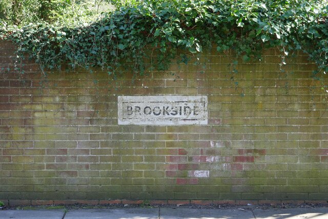
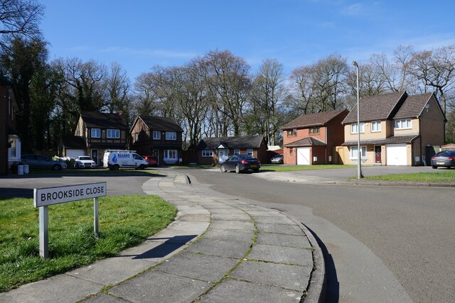
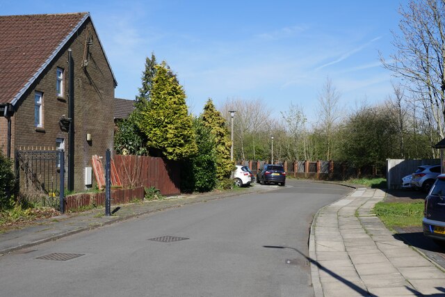
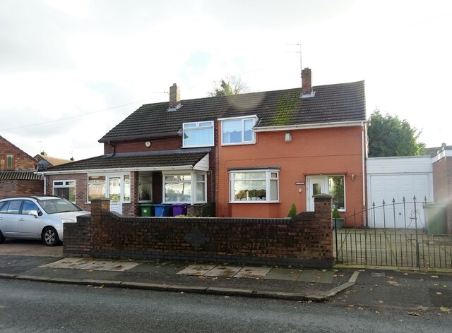
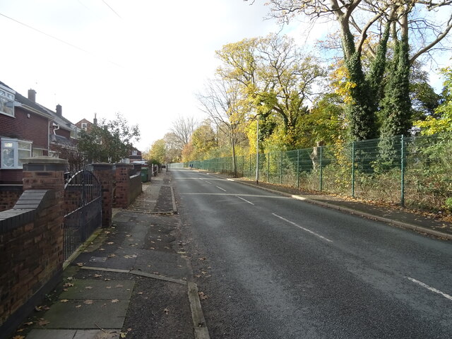
Derby, West Images
Images are sourced within 2km of 53.430905/-2.890242 or Grid Reference SJ4093. Thanks to Geograph Open Source API. All images are credited.


Derby, West is located at Grid Ref: SJ4093 (Lat: 53.430905, Lng: -2.890242)
Unitary Authority: Liverpool
Police Authority: Merseyside
What 3 Words
///festivity.keys.tags. Near Clubmoor, Merseyside
Nearby Locations
Related Wikis

Deysbrook Barracks
Deysbrook Barracks was a regular army barracks in West Derby in Liverpool. The barracks was used by 59th (Volunteers) Signal Squadron of the Royal Signals...
Liverpool Buccaneers
Liverpool Buccaneers Rugby League Football Club are an amateur rugby league club from West Derby in Liverpool. The team plays home games at Sefton RUFC...

Melwood
AXA Melwood Training Centre, in West Derby, Liverpool is the training ground and academy for Liverpool Football Club's Women's first team, youth teams...

Broughton Hall, Merseyside
Broughton Hall is a Gothic house at Yew Tree Lane West Derby, Liverpool, England, built in 1860 for Gustav Christian Schwabe, a Liverpool merchant originating...
Broughton Hall High School
Broughton Hall High School is an all-girls', Roman Catholic secondary school and sixth form located in the West Derby area of Liverpool, England. It shares...
St Paul's Church, West Derby
St Paul's Church is in Town Row, West Derby, a suburb of Liverpool, Merseyside, England. It is an active Roman Catholic parish church in Pastoral Area...
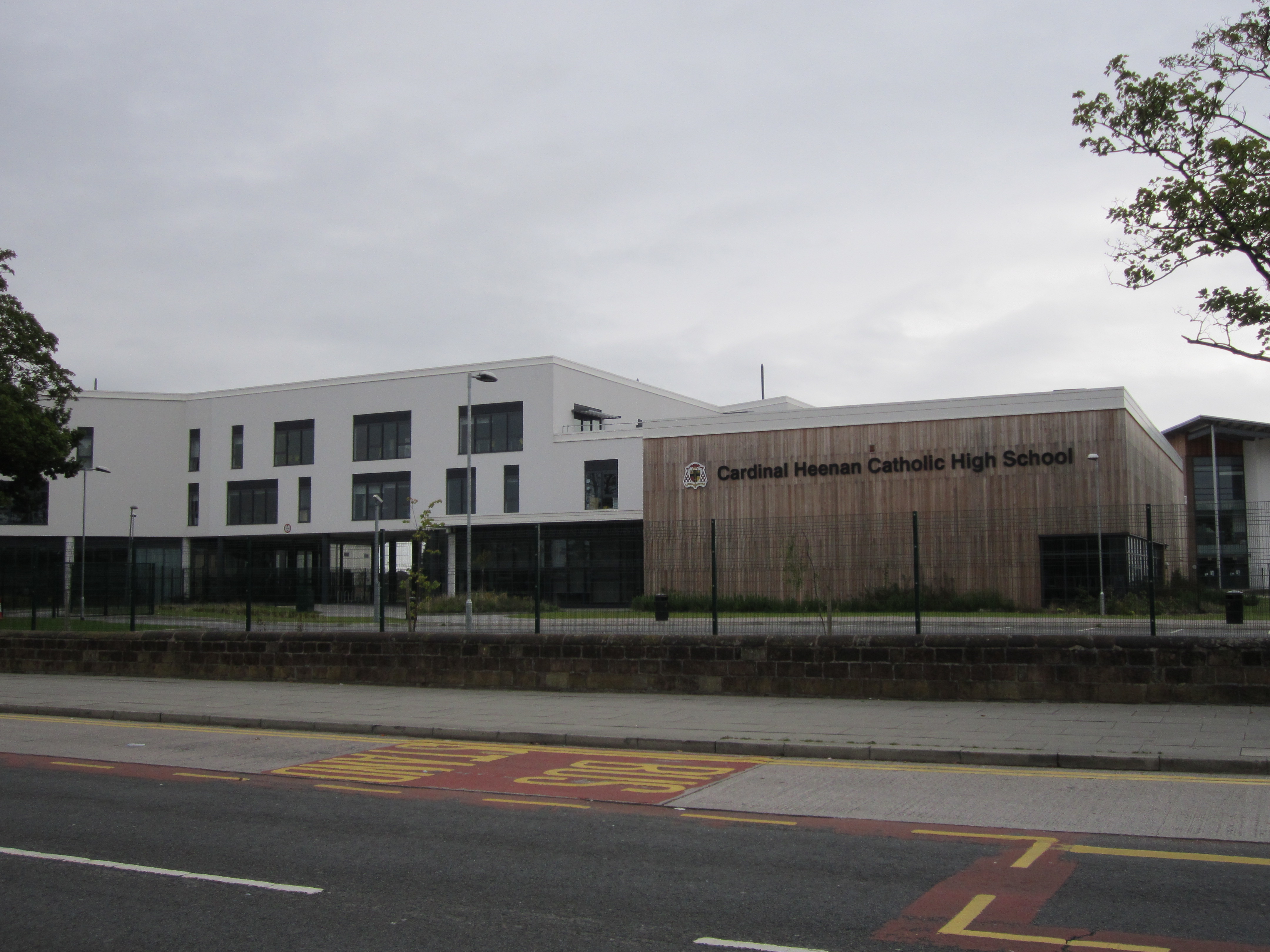
Cardinal Heenan Catholic High School
The Cardinal Heenan Catholic High School is an 11–18 boys comprehensive school and sixth form for boys located in West Derby, Liverpool, England. As of...

Liverpool West Derby (UK Parliament constituency)
Liverpool, West Derby is a constituency represented in the House of Commons of the UK Parliament since 2019 by Ian Byrne of the Labour Party. == Boundaries... ==
Nearby Amenities
Located within 500m of 53.430905,-2.890242Have you been to Derby, West?
Leave your review of Derby, West below (or comments, questions and feedback).