Deeping, West

Settlement in Lincolnshire South Kesteven

England

Deeping, West

Tallington railway level crossing, Lincs The A16 road crosses the King's Cross–Edinburgh main line; view SE from the footbridge looking 'up'.
Tallington railway level crossing, Lincs Credit: Rodney Burton

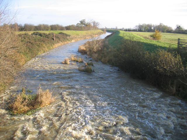
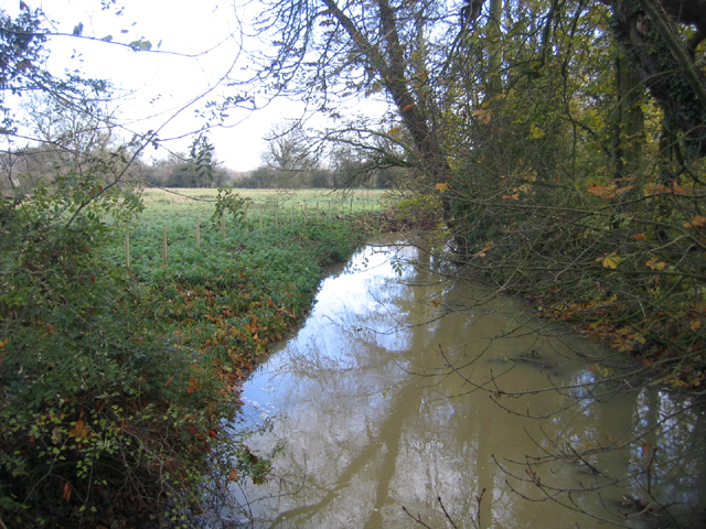
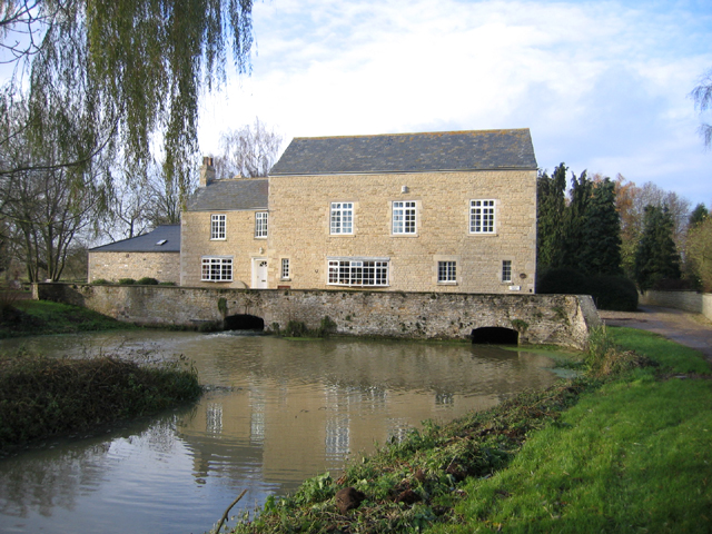
Deeping West is a small village located in the South Kesteven district of Lincolnshire, England. Situated on the eastern bank of the River Welland, it is part of the wider area known as The Deepings, which consists of a cluster of villages along the river. Deeping West is approximately 9 miles north of Peterborough and 10 miles south of the city of Lincoln.

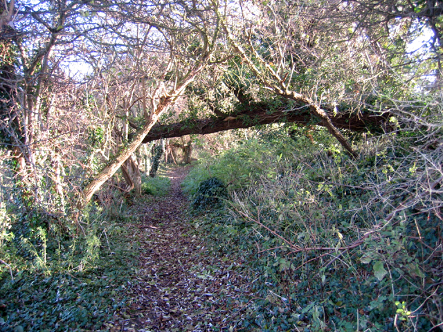
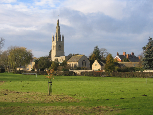
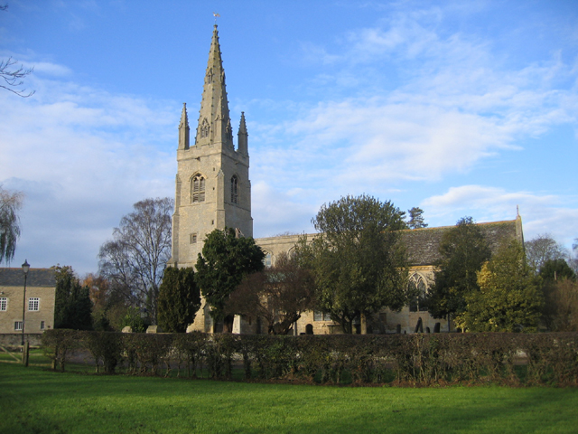
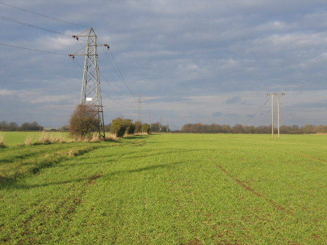
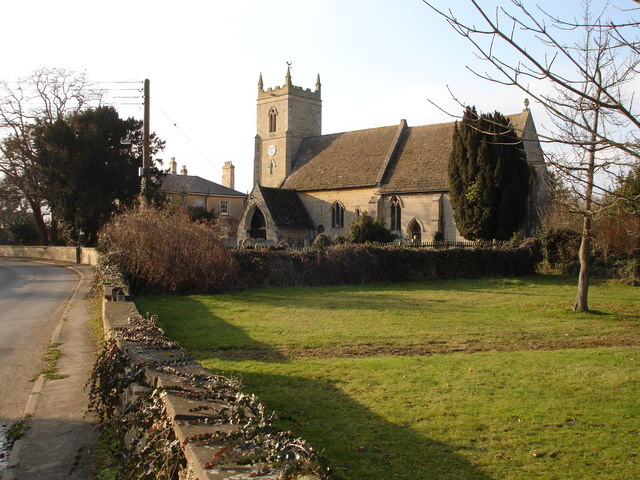
The village is known for its tranquil and picturesque setting, surrounded by beautiful countryside and farmland. It offers a peaceful and close-knit community feel, with a population of around 600 residents. The village retains its rural charm, with traditional stone-built houses, quaint cottages, and a historic church dating back to the 13th century.

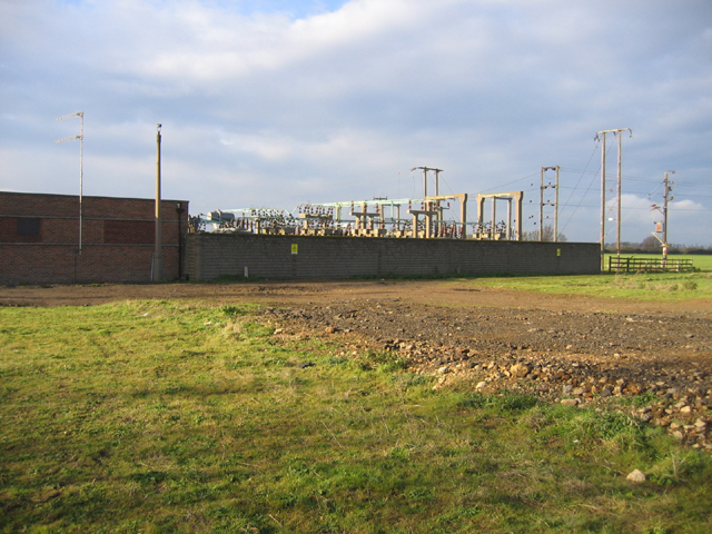
Amenities in Deeping West are limited, with a small primary school, a village hall, and a local pub being the main focal points. However, residents benefit from easy access to nearby towns for additional services and amenities.

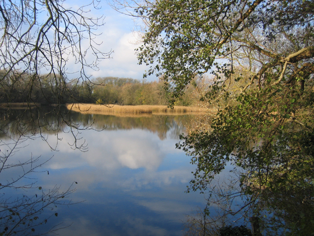
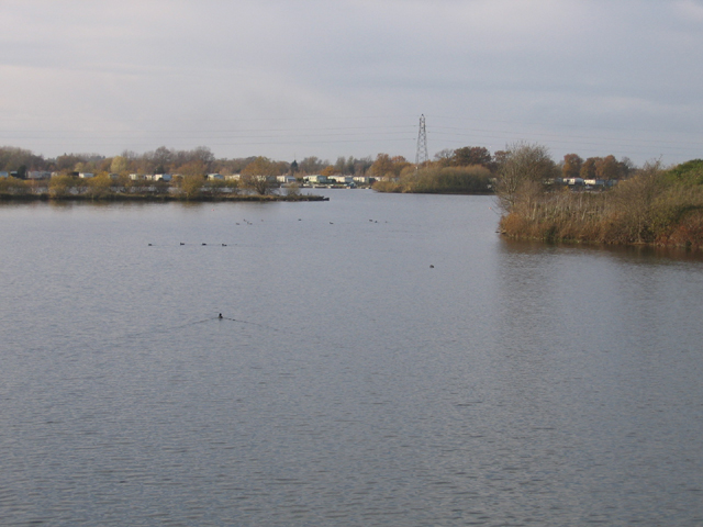
The surrounding area provides ample opportunities for outdoor activities and exploration. The River Welland offers fishing spots, and there are several walking and cycling paths along its banks. The nearby Deeping Lakes Nature Reserve is a haven for wildlife, attracting birdwatchers and nature enthusiasts.

Overall, Deeping West is a charming village with a strong sense of community and a peaceful countryside setting, making it an attractive place to live for those seeking a rural lifestyle.

If you have any feedback on the listing, please let us know in the comments section below.

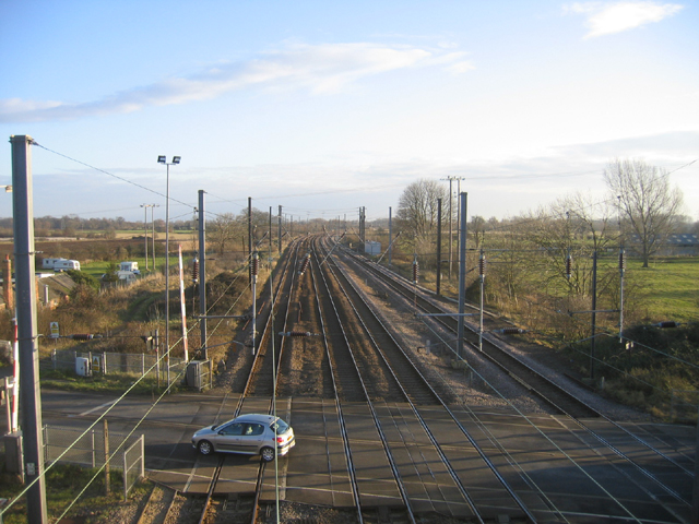
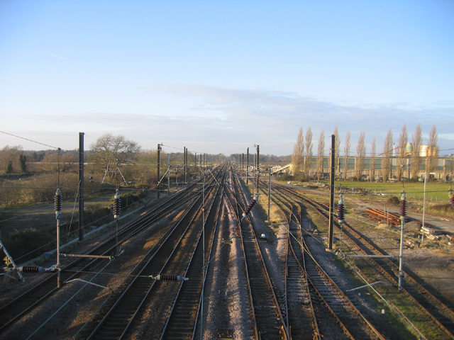
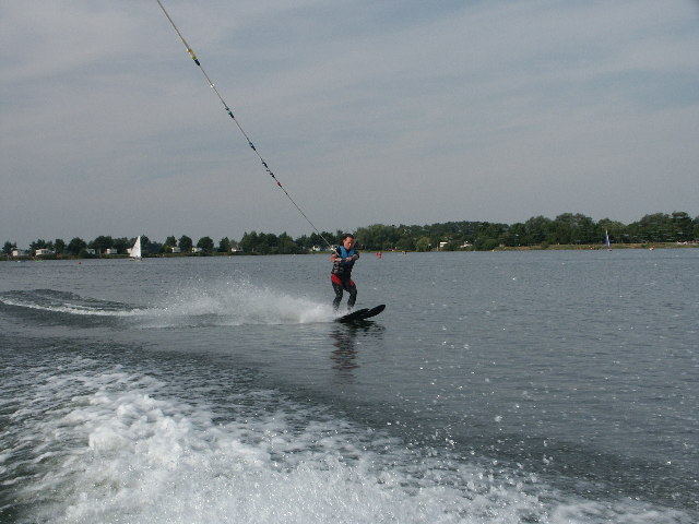
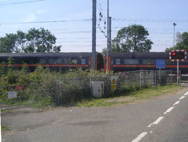
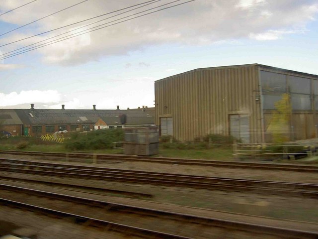
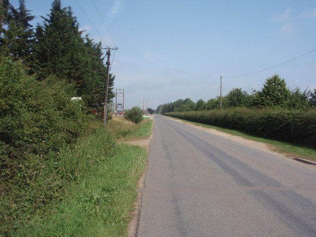
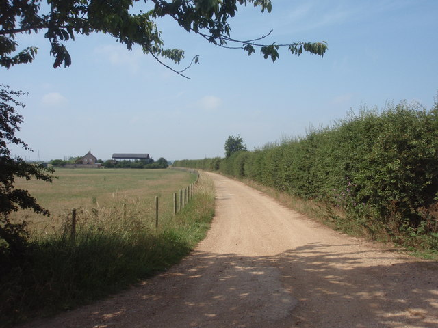
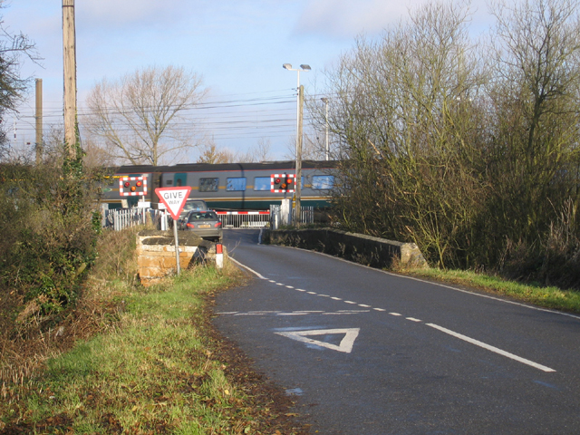
Deeping, West Images

Images are sourced within 2km of 52.665628/-0.35977507 or Grid Reference TF1108. Thanks to Geograph Open Source API. All images are credited.

Tallington railway level crossing, Lincs The A16 road crosses the King's Cross–Edinburgh main line; view SE from the footbridge looking 'up'.
Tallington railway level crossing, Lincs
The A16 road crosses the King's Cross–Edinburgh main line; view SE from the footbridge looking 'up'.
East coast main line, Tallington, Lincs View NW looking 'down'.
East coast main line, Tallington, Lincs
View NW looking 'down'.
Tallington Lakes from a boat A different view of the lakes.
Tallington Lakes from a boat
A different view of the lakes.
Tallington Crossing A speeding GNER train travelling south over the Tallington Level Crossing.
Tallington Crossing
A speeding GNER train travelling south over the Tallington Level Crossing.
Tarmac precast concrete works Tallington From the 2:10 NXEC Kings Cross Leeds.
Tarmac precast concrete works Tallington
From the 2:10 NXEC Kings Cross Leeds.
Barholm Road The road from Tallington to Barholm, between Tallington Lakes and tarmac precast concrete works.
Barholm Road
The road from Tallington to Barholm, between Tallington Lakes and tarmac precast concrete works.
Track to Rabbi Cottages The public footpath and access road to the curiously named Rabbi Cottages, near the railway at Tallington.
Track to Rabbi Cottages
The public footpath and access road to the curiously named Rabbi Cottages, near the railway at Tallington.
Lolham Bridges East Coast main line crossing, Peterborough – viewed from King Street Roman Road.
Lolham Bridges East Coast main line crossing, Peterborough
– viewed from King Street Roman Road.
Maxey Cut from Lolham Bridges, Maxey, Peterborough – taking excess flow from the River Welland.
Maxey Cut from Lolham Bridges, Maxey, Peterborough
– taking excess flow from the River Welland.
Lolham Fisheries, Maxey, Peterborough Water-filled gravel pits with developing reed beds bounded by willow and oak.
Lolham Fisheries, Maxey, Peterborough
Water-filled gravel pits with developing reed beds bounded by willow and oak.
Woodland path, Maxey, Peterborough The path extends around Lolham Fisheries to give access to angling pitches.
Woodland path, Maxey, Peterborough
The path extends around Lolham Fisheries to give access to angling pitches.
Distributary of the River Welland – view E near the Lincs–Peterborough border.
Distributary of the River Welland
– view E near the Lincs–Peterborough border.
West Deeping parish church, Lincs – view from King Street Roman Road across the meadows of the River Welland.
West Deeping parish church, Lincs
– view from King Street Roman Road across the meadows of the River Welland.
The Mill, West Deeping, Lincs – built in the early 19th century although there was a water mill on this site for many centuries previously.
The Mill, West Deeping, Lincs
– built in the early 19th century although there was a water mill on this site for many centuries previously.
West Deeping parish church, Lincs The church is dedicated to St Andrew and tower and spire were probably built around 1370; restored in 1874–77.
West Deeping parish church, Lincs
The church is dedicated to St Andrew and tower and spire were probably built around 1370; restored in 1874–77.
Tallington Lakes, Lincs View W of the water-filled gravel pits with leisure development along the far bank.
Tallington Lakes, Lincs
View W of the water-filled gravel pits with leisure development along the far bank.
Farmland north of West Deeping, Lincs – view N through 'Middle Field'.
Farmland north of West Deeping, Lincs
– view N through 'Middle Field'.
Electricity sub-station, West Deeping, Lincs
Show me another place!

Deeping, West is located at Grid Ref: TF1108 (Lat: 52.665628, Lng: -0.35977507)

Division: Parts of Kesteven

Administrative County: Lincolnshire

District: South Kesteven

Police Authority: Lincolnshire

What 3 Words

///handrail.neckline.itself. Near Market Deeping, Lincolnshire

Related Wikis

West Deeping

West Deeping is a village and civil parish in the South Kesteven district of Lincolnshire, England. The population of the civil parish at the 2011 census...

Lolham

Lolham is a hamlet in the City of Peterborough in England, located between Peterborough and Stamford on the border of Cambridgeshire and Lincolnshire....

Barholm

Barholm is a village in the civil parish of Barholm and Stowe, in the South Kesteven district of Lincolnshire, England. It is 2 miles (3 km) west from...

Tallington railway station

Tallington railway station was a station in Tallington, Lincolnshire on the Great Northern Railway between Grantham and Peterborough. It was closed in...

Nearby Amenities

Located within 500m of 52.665628,-0.35977507
West Deeping
Place: village
Lat/Long: 52.6668064/-0.3600155
Bus Stop
Kings Street
Bus: yes
Naptan AtcoCode: 270000010108
Naptan Bearing: NE
Naptan CommonName: Kings Street
Naptan Indicator: NE - bound
Naptan Landmark: Kings Street
Naptan NaptanCode: linjgwag
Naptan Street: Stamford Road
Naptan Verified: no
Public Transport: platform
Source: naptan_import
Lat/Long: 52.6698307/-0.3611375
Bus Stop
Kings Street
Bus: yes
Naptan AtcoCode: 2700LWDC1575
Naptan Bearing: SW
Naptan CommonName: Kings Street
Naptan Indicator: SW - bound
Naptan Landmark: Kings Street
Naptan NaptanCode: linamdga
Naptan Street: Stamford Road
Naptan Verified: no
Public Transport: platform
Source: naptan_import
Lat/Long: 52.6696192/-0.3614412
Parking
Lat/Long: 52.6684452/-0.364378
Church Meadow
Place: locality
Source: Bing
Lat/Long: 52.6620799/-0.3634674
Ivy House Farm
Landuse: farm
Note Retag: CS #48756035
Source: Bing
Lat/Long: 52.664831/-0.3589712
Little Meadow
Place: locality
Source: Bing
Lat/Long: 52.6617277/-0.3566775
West Croft
Place: locality
Source: Bing
Lat/Long: 52.6665632/-0.3640181
Waste Basket
Lat/Long: 52.6686097/-0.3640532
Waste Basket
Lat/Long: 52.6680575/-0.3658091
Power: pole
Lat/Long: 52.6697928/-0.3618401
Power: pole
Lat/Long: 52.6688591/-0.3623718
Power: pole
Lat/Long: 52.6678019/-0.3640763
Power: pole
Lat/Long: 52.6669056/-0.3651921
Power: pole
Lat/Long: 52.6660589/-0.3662784
Telephone
Booth: K6
Covered: booth
Listed Status: Grade II
Man Made: telephone_box
Old Phone: +44 1778 343109
Lat/Long: 52.6676993/-0.3601483
Note: End of Public Highway
Lat/Long: 52.6686965/-0.3605439
Pub
Red Lion Inn
Addr City: West Deeping
Addr Housenumber: 48
Addr Postcode: PE6 9HP
Addr Street: King Street
Fhrs Authority: South Kesteven
Fhrs Id: 237896
Fhrs Local Authority Id: 5924
Lat/Long: 52.665867/-0.3598961
Power: pole
Lat/Long: 52.6686399/-0.3555894
Power: pole
Lat/Long: 52.6669178/-0.3544236
Power: pole
Lat/Long: 52.6661413/-0.3539214
The data included in this document is from www.openstreetmap.org. The data is made available under ODbL.

Have you been to Deeping, West?

Leave your review of Deeping, West below (or comments, questions and feedback).