Dean, West
Settlement in Wiltshire / Hampshire
England
Dean, West

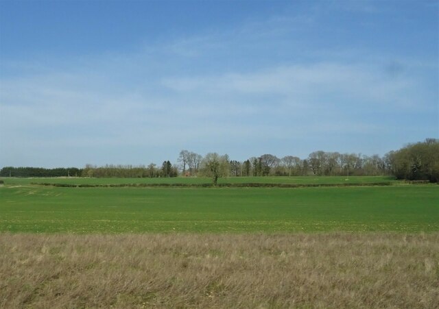
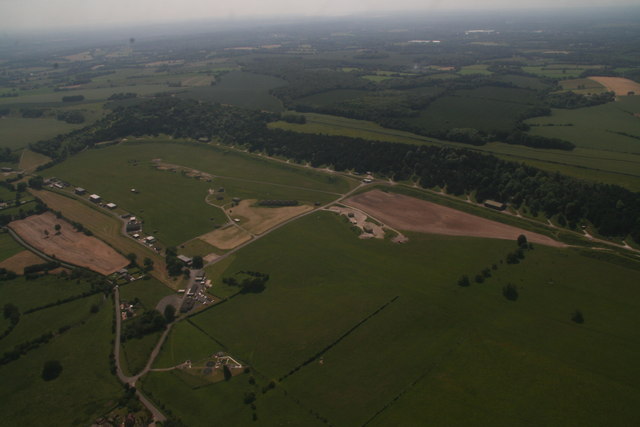
Dean, West is a small village located in the county of Wiltshire, on the border with Hampshire, England. Situated within the picturesque Test Valley, the village is known for its tranquil atmosphere and stunning natural surroundings. With a population of around 500 residents, Dean, West is a close-knit community that offers a peaceful and friendly environment.
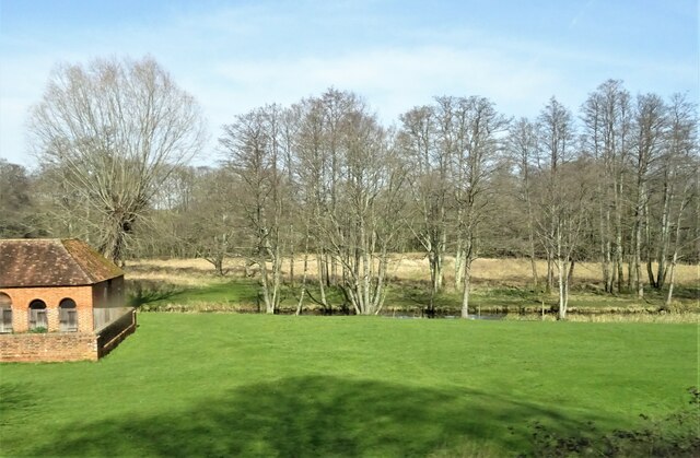
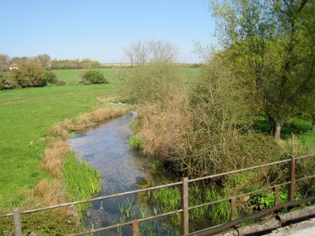
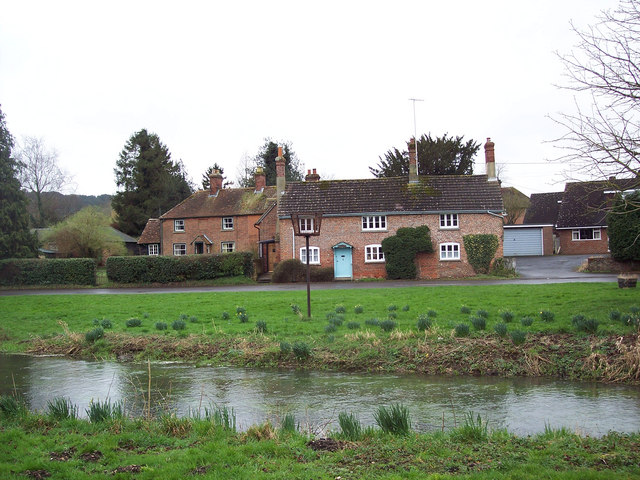
The village is characterized by its quaint thatched cottages, traditional architecture, and well-maintained gardens. Dean, West is surrounded by rolling countryside, providing residents and visitors with ample opportunities for outdoor activities such as hiking, cycling, and horse riding. The nearby River Test is renowned for its clear waters and diverse wildlife, making it a popular spot for fishing enthusiasts.
While Dean, West is primarily a residential area, it is conveniently located near several larger towns. The market town of Andover is just a short distance away, providing residents with access to a wide range of amenities, including shops, supermarkets, schools, and healthcare facilities.
Despite its small size, Dean, West boasts a strong community spirit, with various social and recreational activities taking place throughout the year. The village holds annual events such as summer fairs, Christmas markets, and local festivals, bringing residents together and fostering a sense of belonging.
In summary, Dean, West is a charming village nestled in the idyllic Test Valley, offering a peaceful and picturesque setting for its residents. With its stunning natural surroundings, strong community spirit, and proximity to larger towns, Dean, West is an ideal place for those seeking a serene countryside lifestyle.
If you have any feedback on the listing, please let us know in the comments section below.
Dean, West Images
Images are sourced within 2km of 51.039842/-1.6319922 or Grid Reference SU2526. Thanks to Geograph Open Source API. All images are credited.


Dean, West is located at Grid Ref: SU2526 (Lat: 51.039842, Lng: -1.6319922)
Unitary Authority: Wiltshire
Police Authority: Wiltshire
What 3 Words
///knots.wager.smug. Near East Dean, Hampshire
Nearby Locations
Related Wikis
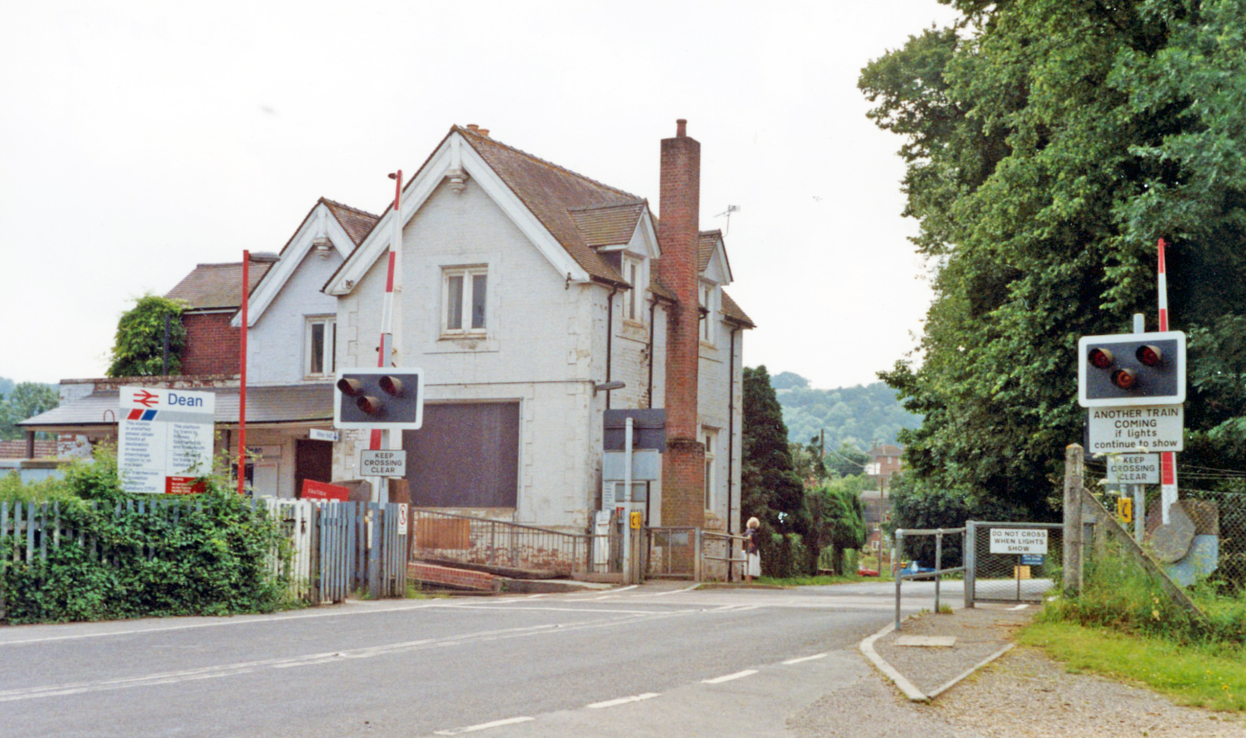
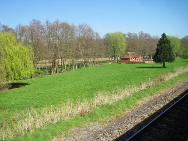
Dean railway station
Dean railway station, also shown as Dean (Wilts), serves the village of West Dean in Wiltshire, England. The station is on the Wessex Main Line, 88 miles...

River Dun (River Test)
The River Dun is a tributary of the River Test in southern England, which flows for 18.3 km (11.4 miles) in a generally easterly direction through rural...
West Dean, Wiltshire
West Dean is a village and civil parish in southeast Wiltshire, England; the Wiltshire/Hampshire border runs through the eastern part of the village. The...
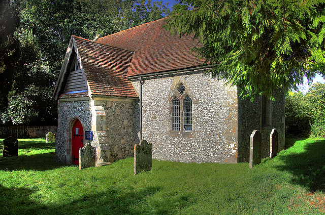
Borbach Chantry
Borbach Chantry, West Dean, in south-east Wiltshire, England, was built in 1333. It is recorded in the National Heritage List for England as a Grade I...
Nearby Amenities
Located within 500m of 51.039842,-1.6319922Have you been to Dean, West?
Leave your review of Dean, West below (or comments, questions and feedback).