West Crudwell

Settlement in Wiltshire

England

West Crudwell

Old Milestone, Malmesbury A429 Old Milestone by the A429, south of Crudwell
Metal plate attached to stone post by the A429, in parish of Hankerton (North Wiltshire District), Crudwell Road; South of Murcott turn, by the road, on West side of road. Malmesbury First plate, erected by the Malmesbury - First District turnpike trust in the 19th century. Modern plate now.

Inscription: CIRENCESTER / 8 / MALMESBURY / 3 
Carved benchmark  representing 107.7 m ASL.

Grade II listed Nᴼ. 1022249 <span class="nowrap"><a title="https://historicengland.org.uk/listing/the-list/list-entry/1022249" rel="nofollow ugc noopener" href="https://historicengland.org.uk/listing/the-list/list-entry/1022249">Link</a><img style="margin-left:2px;" alt="External link" title="External link - shift click to open in new window" src="https://s1.geograph.org.uk/img/external.png" width="10" height="10"/></span>

Milestone Society National ID: WI_MYCI03
Old Milestone, Malmesbury A429 Credit: Tom Blanden

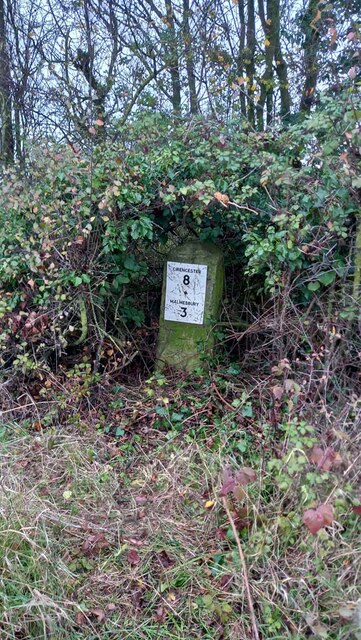
West Crudwell is a small village located in the county of Wiltshire, England. Situated approximately 6 miles east of Malmesbury and 12 miles west of Swindon, it belongs to the district of North Wiltshire. The village is nestled in the picturesque countryside of the Cotswolds, known for its rolling hills and charming rural landscapes.

With a population of around 200 residents, West Crudwell offers a tranquil and close-knit community atmosphere. The village is characterized by traditional stone cottages, some of which date back to the 17th century, adding to its historic appeal. The local church, St. Mary's, is a notable landmark that showcases the village's heritage.

Despite its small size, West Crudwell boasts a few amenities to cater to its residents. These include a village hall, which serves as a hub for community events and gatherings. Additionally, there is a public house, The Vine Tree, known for its warm hospitality and traditional English pub fare.

The surrounding area offers numerous opportunities for outdoor activities, as West Crudwell is situated near the Cotswold Water Park. This expansive network of lakes provides a range of recreational options, such as boating, fishing, and birdwatching.

West Crudwell's location also allows for easy access to nearby towns and cities. The village benefits from good transport links, with the A429 road passing nearby, connecting it to larger urban centers and facilitating commuting and travel.

Overall, West Crudwell is a charming village that offers a peaceful and idyllic countryside lifestyle, while still providing convenient access to amenities and nearby attractions.

If you have any feedback on the listing, please let us know in the comments section below.

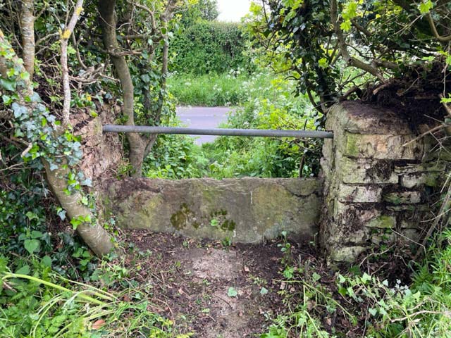
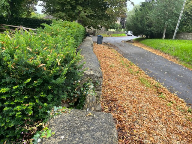
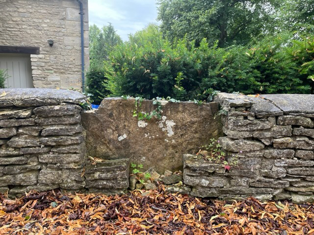
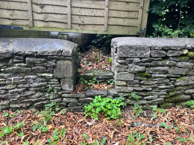
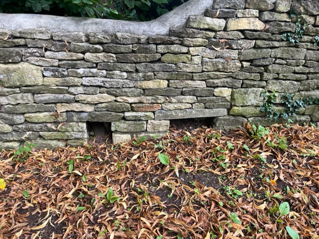
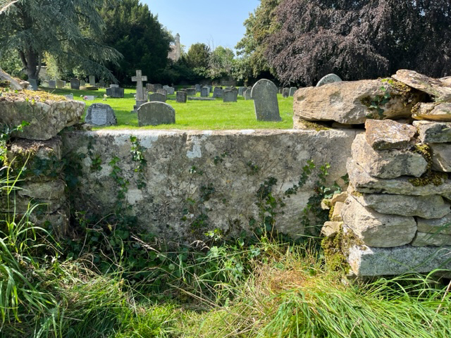
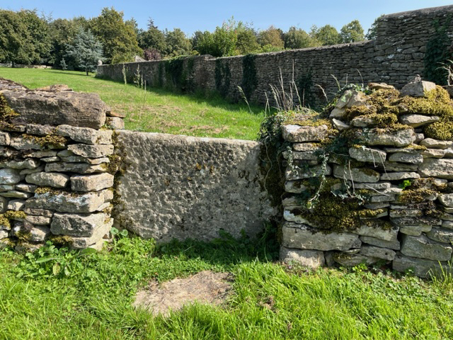
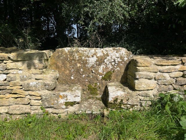
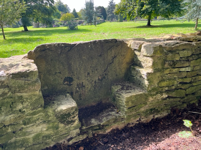
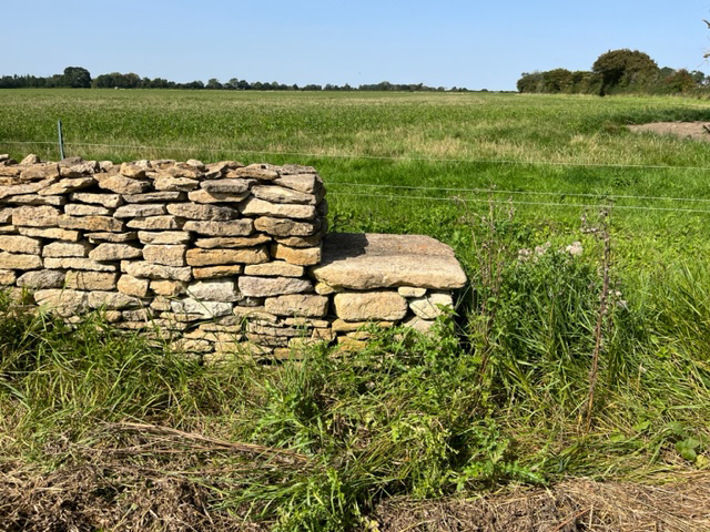
West Crudwell Images

Images are sourced within 2km of 51.6374/-2.0779368 or Grid Reference ST9493. Thanks to Geograph Open Source API. All images are credited.

Old Milestone, Malmesbury A429 Old Milestone by the A429, south of Crudwell
Metal plate attached to stone post by the A429, in parish of Hankerton (North Wiltshire District), Crudwell Road; South of Murcott turn, by the road, on West side of road. Malmesbury First plate, erected by the Malmesbury - First District turnpike trust in the 19th century. Modern plate now.

Inscription: CIRENCESTER / 8 / MALMESBURY / 3 
Carved benchmark  representing 107.7 m ASL.

Grade II listed Nᴼ. 1022249 <span class="nowrap"><a title="https://historicengland.org.uk/listing/the-list/list-entry/1022249" rel="nofollow ugc noopener" href="https://historicengland.org.uk/listing/the-list/list-entry/1022249">Link</a><img style="margin-left:2px;" alt="External link" title="External link - shift click to open in new window" src="https://s1.geograph.org.uk/img/external.png" width="10" height="10"/></span>

Milestone Society National ID: WI_MYCI03
Old Milestone, Malmesbury A429
Old Milestone by the A429, south of Crudwell Metal plate attached to stone post by the A429, in parish of Hankerton (North Wiltshire District), Crudwell Road; South of Murcott turn, by the road, on West side of road. Malmesbury First plate, erected by the Malmesbury - First District turnpike trust in the 19th century. Modern plate now. Inscription: CIRENCESTER / 8 / MALMESBURY / 3 Carved benchmark representing 107.7 m ASL. Grade II listed Nᴼ. 1022249 LinkExternal link Milestone Society National ID: WI_MYCI03
Stone Stile, Crudwell Looking from The Street, A429, on Wiltshire footpath CRUD7. The view NW to the road is <a href="https://www.geograph.org.uk/photo/7486860">ST9592 : Stone Stile, Crudwell</a>.
Stone Stile, Crudwell
Looking from The Street, A429, on Wiltshire footpath CRUD7. The view NW to the road is ST9592 : Stone Stile, Crudwell.
Stone Stile, Crudwell Off The Street, A429, on Wiltshire footpath CRUD7, looking to the road. The view SE is <a href="https://www.geograph.org.uk/photo/7486859">ST9592 : Stone Stile, Crudwell</a>.
Stone Stile, Crudwell
Off The Street, A429, on Wiltshire footpath CRUD7, looking to the road. The view SE is ST9592 : Stone Stile, Crudwell.
Stone Stile, Crudwell On Wiltshire footpath CRUD7, looking East about 160yds East from the A429. The view West is <a href="https://www.geograph.org.uk/photo/7486863">ST9592 : Stone Stile, Crudwell</a>.
Stone Stile, Crudwell
On Wiltshire footpath CRUD7, looking East about 160yds East from the A429. The view West is ST9592 : Stone Stile, Crudwell.
Stone Stile, Crudwell On Wiltshire footpath CRUD7, looking West about 160yds East from the A429. The view East is <a href="https://www.geograph.org.uk/photo/7486862">ST9592 : Stone Stile, Crudwell</a>.
Stone Stile, Crudwell
On Wiltshire footpath CRUD7, looking West about 160yds East from the A429. The view East is ST9592 : Stone Stile, Crudwell.
Stone Stile, Murcott Not on a Public Right of Way, a farmer's pedestrian route to the field, looking NE from Murcott Lane. The view to the road and Murcott Farm House is <a href="https://www.geograph.org.uk/photo/7486868">ST9591 : Stone Stile, Murcott</a>.
Stone Stile, Murcott
Not on a Public Right of Way, a farmer's pedestrian route to the field, looking NE from Murcott Lane. The view to the road and Murcott Farm House is ST9591 : Stone Stile, Murcott.
Stone Stile, Murcott Not on a Public Right of Way, a farmer's pedestrian route to the field, looking SW to the road and Murcott Farm House. The view from the road is <a href="https://www.geograph.org.uk/photo/7486867">ST9591 : Stone Stile, Murcott</a>.
Stone Stile, Murcott
Not on a Public Right of Way, a farmer's pedestrian route to the field, looking SW to the road and Murcott Farm House. The view from the road is ST9591 : Stone Stile, Murcott.
Stone Stile, Murcott On Wiltshire footpath CRUD12 looking North from Murcott Lane. The view South is <a href="https://www.geograph.org.uk/photo/7486872">ST9591 : Stone Stile, Murcott</a>.
Stone Stile, Murcott
On Wiltshire footpath CRUD12 looking North from Murcott Lane. The view South is ST9591 : Stone Stile, Murcott.
Stone Stile, Murcott On Wiltshire footpath CRUD12 looking South to Murcott Lane. The view North is <a href="https://www.geograph.org.uk/photo/7486871">ST9591 : Stone Stile, Murcott</a>.
Stone Stile, Murcott
On Wiltshire footpath CRUD12 looking South to Murcott Lane. The view North is ST9591 : Stone Stile, Murcott.
Stone Stile, Crudwell A private stile with the Church to the right of the camera. This view looks West along the wall,
the view South to the property is <a href="https://www.geograph.org.uk/photo/7556715">ST9592 : Stone Stile, Crudwell</a>
Stone Stile, Crudwell
A private stile with the Church to the right of the camera. This view looks West along the wall, the view South to the property is ST9592 : Stone Stile, Crudwell
Stone Stile, Crudwell A private stile with the Church behind the camera. This view looks South to the property, 
the view West along the wall is <a href="https://www.geograph.org.uk/photo/7556713">ST9592 : Stone Stile, Crudwell</a>
Stone Stile, Crudwell
A private stile with the Church behind the camera. This view looks South to the property, the view West along the wall is ST9592 : Stone Stile, Crudwell
Stone Stile, Crudwell A private access stile. This is situated on the West wall of a property, SW of All Saints Church.
There are two <a href="https://www.geograph.org.uk/photo/7556732">ST9592 : Stone Animal Stiles, Crudwell</a> North of this.
Stone Stile, Crudwell
A private access stile. This is situated on the West wall of a property, SW of All Saints Church. There are two ST9592 : Stone Animal Stiles, Crudwell North of this.
Stone Animal Stiles, Crudwell Gaps left in walls sometimes for drainage and often to encourage badgers (eg) to use them instead of burrowing 
and undermining the stonework. These are near a pedestrian gap in the wall see <a href="https://www.geograph.org.uk/photo/7556722">ST9592 : Stone Stile, Crudwell</a>.
Stone Animal Stiles, Crudwell
Gaps left in walls sometimes for drainage and often to encourage badgers (eg) to use them instead of burrowing and undermining the stonework. These are near a pedestrian gap in the wall see ST9592 : Stone Stile, Crudwell.
Stone Stile, Crudwell On Wiltshire footpath CRUD2 looking West to the churchyard.
The view East is <a href="https://www.geograph.org.uk/photo/7596311">ST9592 : Stone Stile, Crudwell</a>.
Stone Stile, Crudwell
On Wiltshire footpath CRUD2 looking West to the churchyard. The view East is ST9592 : Stone Stile, Crudwell.
Stone Stile, Crudwell On Wiltshire footpath CRUD2 looking East from the churchyard.
The view West is <a href="https://www.geograph.org.uk/photo/7596310">ST9592 : Stone Stile, Crudwell</a>.
Stone Stile, Crudwell
On Wiltshire footpath CRUD2 looking East from the churchyard. The view West is ST9592 : Stone Stile, Crudwell.
Stone Stile, Crudwell On Wiltshire footpath CRUD2 looking NE.
The view towards the church is <a href="https://www.geograph.org.uk/photo/7596336">ST9592 : Stone Stile, Crudwell</a>.
Stone Stile, Crudwell
On Wiltshire footpath CRUD2 looking NE. The view towards the church is ST9592 : Stone Stile, Crudwell.
Stone Stile, Crudwell On Wiltshire footpath CRUD2 looking SW to the church.
The view East is <a href="https://www.geograph.org.uk/photo/7596331">ST9592 : Stone Stile, Crudwell</a>.
Stone Stile, Crudwell
On Wiltshire footpath CRUD2 looking SW to the church. The view East is ST9592 : Stone Stile, Crudwell.
Stone Stile, Crudwell Between fields, not on a public footpath, looking North. What would have been a step stile to the side of a gate.
The view South is <a href="https://www.geograph.org.uk/photo/7596353">ST9692 : Stone Stile, Crudwell</a>.
Stone Stile, Crudwell
Between fields, not on a public footpath, looking North. What would have been a step stile to the side of a gate. The view South is ST9692 : Stone Stile, Crudwell.
Show me another place!

West Crudwell is located at Grid Ref: ST9493 (Lat: 51.6374, Lng: -2.0779368)

Unitary Authority: Wiltshire

Police Authority: Wiltshire

What 3 Words

///frowns.rattler.impulsive. Near Hankerton, Wiltshire

Related Wikis

Crudwell

Crudwell is a village and civil parish in north Wiltshire, England. The nearest towns are Malmesbury, about 4 miles (6.4 km) to the south-west, and Cirencester...

Ashley, Gloucestershire

Ashley is a village and civil parish in the Cotswold district of Gloucestershire, England, about 8 miles south-west of Cirencester. According to the 2001...

Church of St James, Ashley

The Anglican Church of St James at Ashley in the Cotswold District of Gloucestershire, England was built in the Norman period and rebuilt around 1200....

RAF Long Newnton

Royal Air Force Long Newnton or more simply RAF Long Newnton is a former Royal Air Force satellite airfield in north Wiltshire, England, close to the Gloucestershire...

Nearby Amenities

Located within 500m of 51.6374,-2.0779368
Give Way
Direction: forward
Lat/Long: 51.6346415/-2.0818638
Give Way
Direction: backward
Lat/Long: 51.6336668/-2.0796627
Turning Loop
Lat/Long: 51.6370921/-2.0777217
The data included in this document is from www.openstreetmap.org. The data is made available under ODbL.

Have you been to West Crudwell?

Leave your review of West Crudwell below (or comments, questions and feedback).