West Cross
Settlement in Kent Ashford
England
West Cross

West Cross is a small village located in the county of Kent, England. Situated on the southeastern coast of the country, it lies approximately 5 miles southwest of the city of Canterbury and 10 miles northeast of the town of Dover. The village is part of the administrative district of Dover and falls within the postal code area CT4.
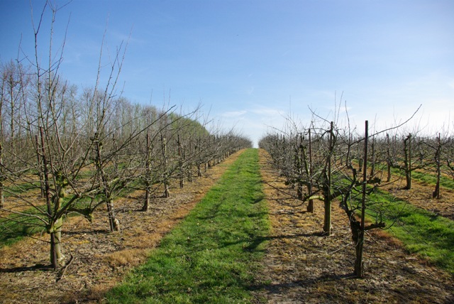
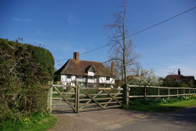
West Cross is characterized by its rural setting, surrounded by picturesque countryside and rolling hills. The village itself is relatively small, with a tight-knit community of residents. The architecture in West Cross is predominantly traditional, with charming cottages and historic buildings dotting the landscape.
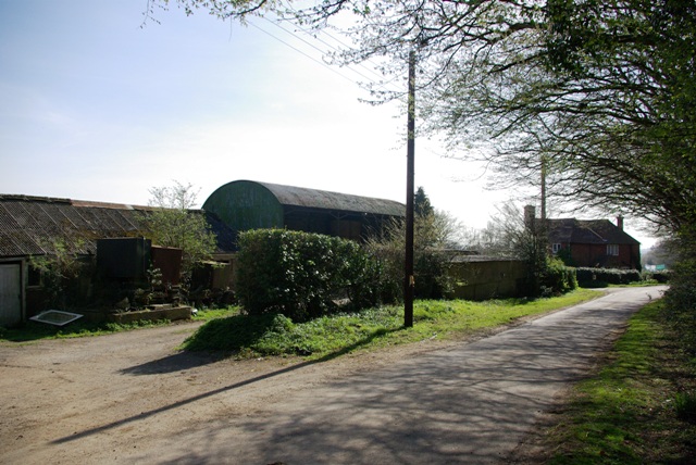
The village offers a range of amenities to cater to the needs of its residents. These include a local pub, a village hall, and a small convenience store. For more extensive shopping and entertainment options, residents can easily access the nearby towns and cities.
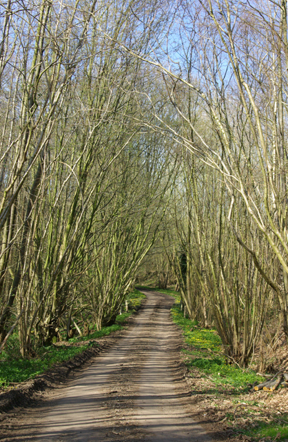
The area surrounding West Cross is known for its natural beauty, with ample opportunities for outdoor activities. The village is located close to several nature reserves and country parks, providing residents with scenic walking trails, cycling routes, and wildlife spotting opportunities.
In terms of transportation, West Cross is well-connected to the wider region. The village is served by a local bus service, providing links to nearby towns and villages. The A2 road, a major route connecting Dover to London, is easily accessible from West Cross, making it convenient for commuters and travelers.
If you have any feedback on the listing, please let us know in the comments section below.
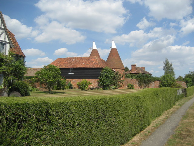
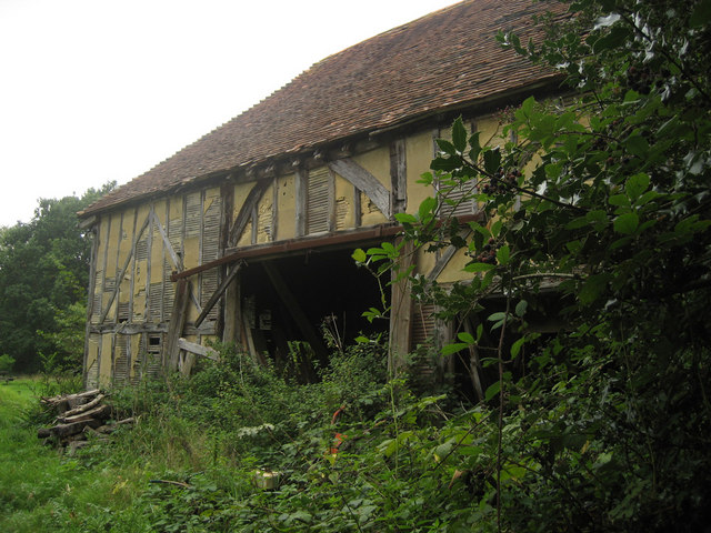
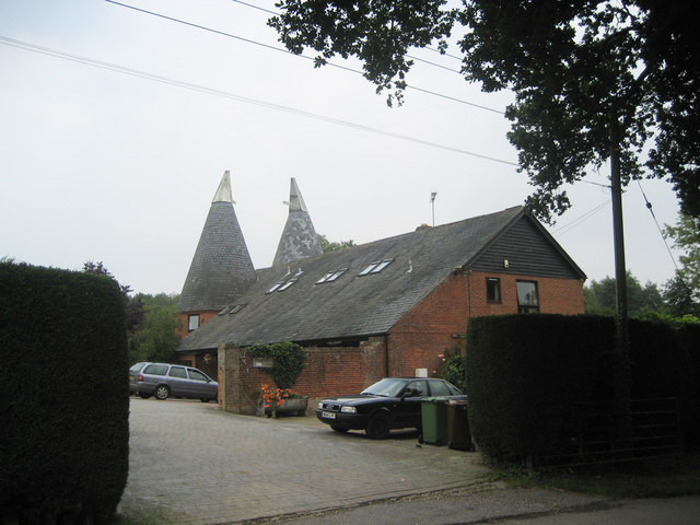
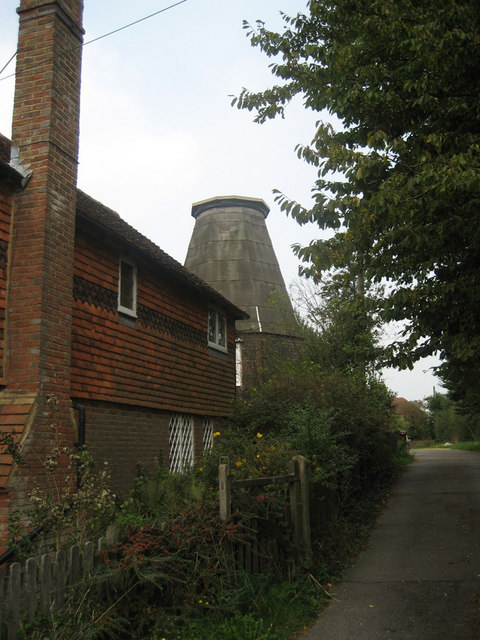
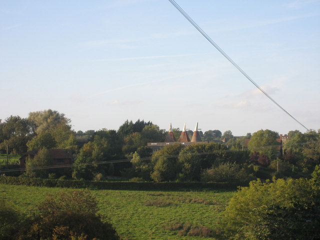
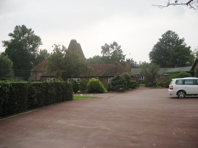
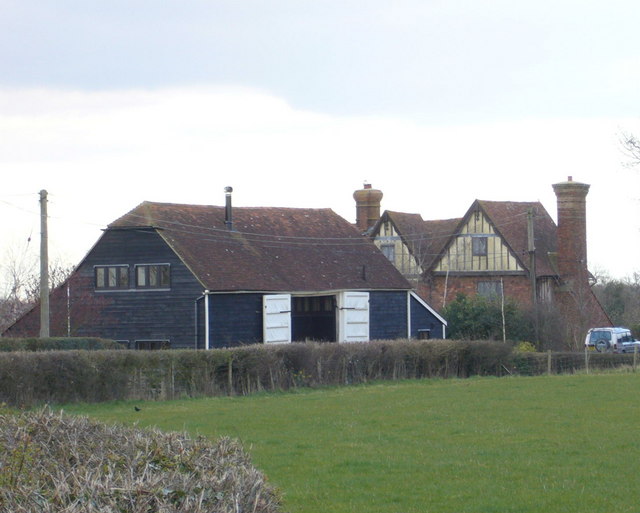
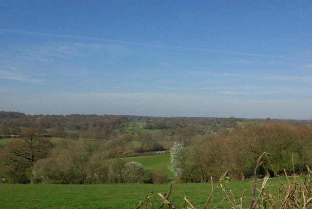
West Cross Images
Images are sourced within 2km of 51.054908/0.61777758 or Grid Reference TQ8331. Thanks to Geograph Open Source API. All images are credited.

West Cross is located at Grid Ref: TQ8331 (Lat: 51.054908, Lng: 0.61777758)
Administrative County: Kent
District: Ashford
Police Authority: Kent
What 3 Words
///driftwood.committee.torches. Near Tenterden, Kent
Nearby Locations
Related Wikis
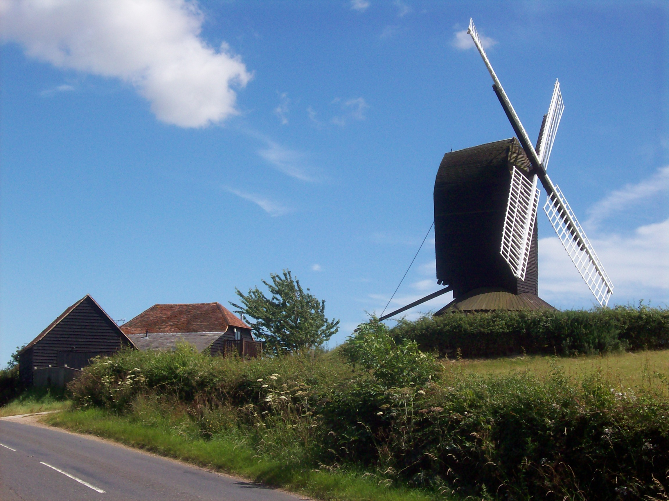
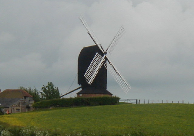
Rolvenden Windmill
Rolvenden Windmill is a grade II* listed Post mill on the B2086 road west of Rolvenden in southeast England. It is maintained as a memorial to a local...

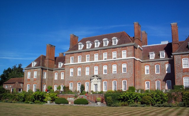
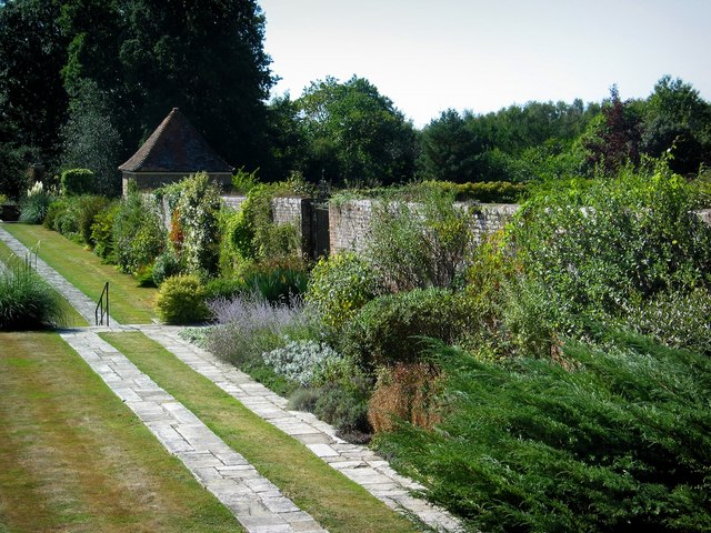
Hole Park
Hole Park is a privately owned country house near the village of Rolvenden, in Kent, England. It is a Grade II listed building. The gardens, first opened...

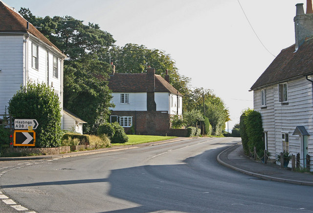
Rolvenden
Rolvenden is a village and civil parish in the Ashford District of Kent, England. The village is centred on the A28 Ashford to Hastings road, 5 miles...

Rolvenden War Memorial
Rolvenden War Memorial is a First World War memorial in the village of Rolvenden, Kent, in south-eastern England. Designed by Sir Edwin Lutyens, the memorial...
Nearby Amenities
Located within 500m of 51.054908,0.61777758Have you been to West Cross?
Leave your review of West Cross below (or comments, questions and feedback).