West Chirton
Settlement in Northumberland
England
West Chirton
West Chirton is a small village located in the county of Northumberland, England. Situated near the coast, it lies approximately 9 miles north of the town of Newcastle upon Tyne. The village is part of the wider borough of North Tyneside.
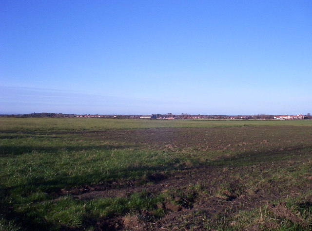
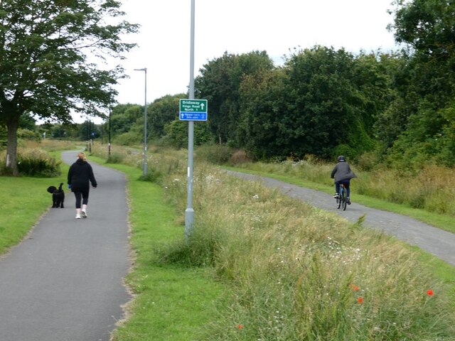
West Chirton is known for its charming rural setting and tranquil atmosphere. Surrounded by picturesque countryside, the village offers stunning views of the North Sea and the nearby coastline. The area is well-regarded for its natural beauty, making it a popular destination for outdoor enthusiasts and nature lovers.
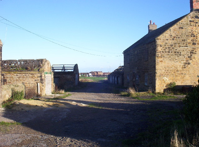
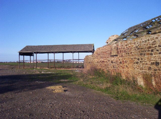
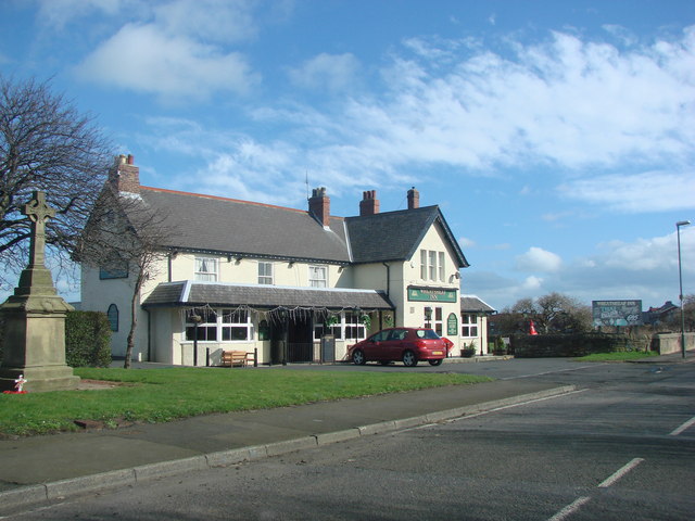
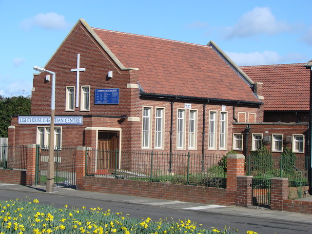
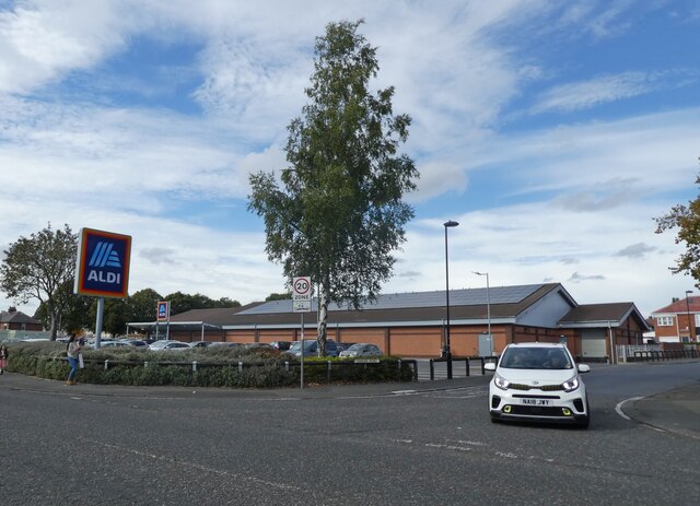
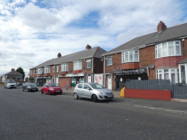
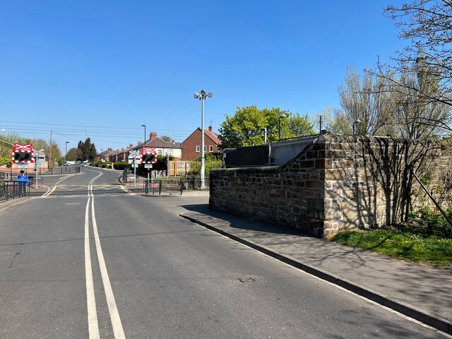
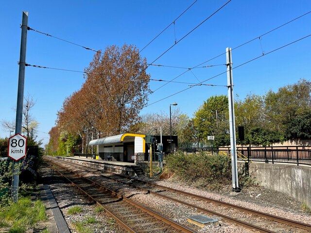
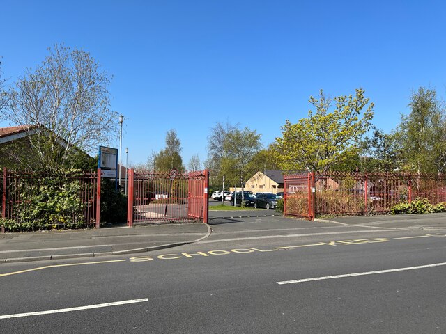
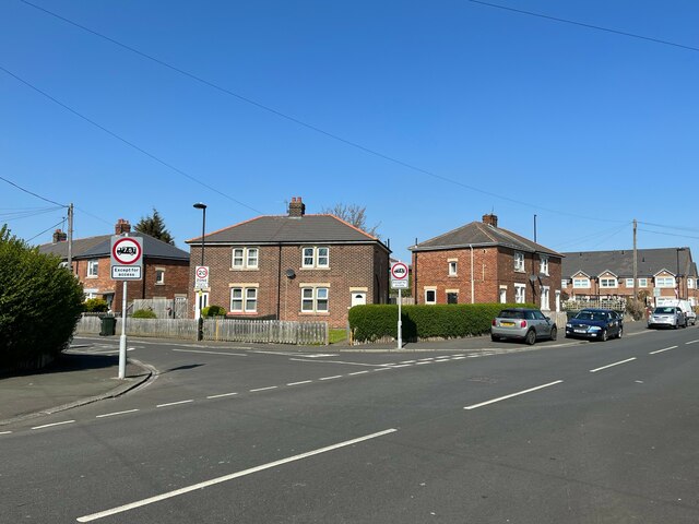
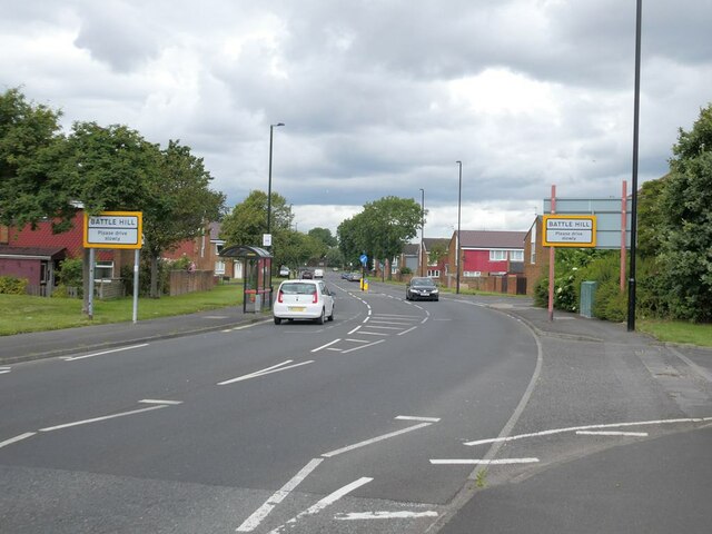
The village itself is characterized by its quaint cottages and traditional architecture. It has a small but close-knit community, with a range of amenities including a local pub, shops, and a primary school. The village also benefits from good transport links, with regular bus services connecting it to neighboring towns and villages.
One of the notable landmarks in West Chirton is the nearby Royal Quays Marina, which attracts boating enthusiasts and visitors alike. The marina offers a range of facilities, including berths for yachts and motorboats, as well as a variety of shops, restaurants, and cafes.
West Chirton provides a peaceful and idyllic setting for those looking to escape the hustle and bustle of city life. With its beautiful surroundings, friendly community, and convenient location, the village offers a desirable place to reside or visit in Northumberland.
If you have any feedback on the listing, please let us know in the comments section below.
West Chirton Images
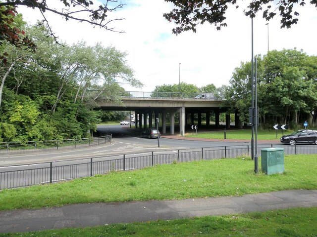
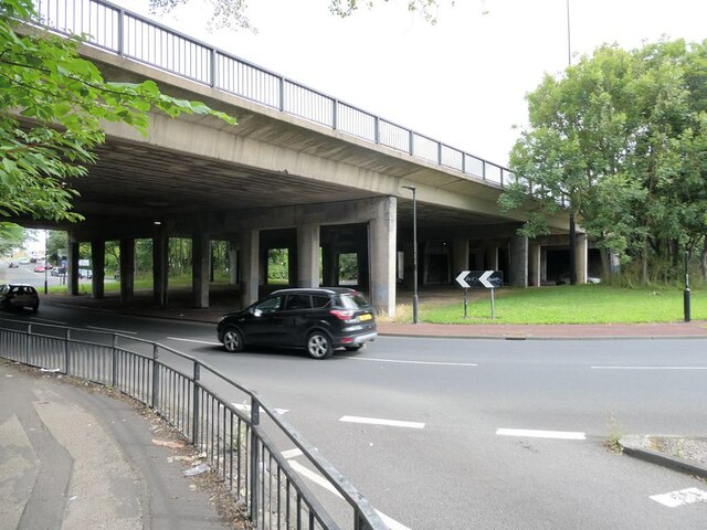
Images are sourced within 2km of 55.010228/-1.4805953 or Grid Reference NZ3368. Thanks to Geograph Open Source API. All images are credited.
West Chirton is located at Grid Ref: NZ3368 (Lat: 55.010228, Lng: -1.4805953)
Unitary Authority: North Tyneside
Police Authority: Northumbria
What 3 Words
///entire.bleat.urgent. Near North Shields, Tyne & Wear
Nearby Locations
Related Wikis

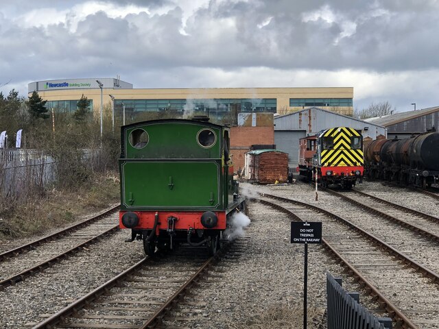
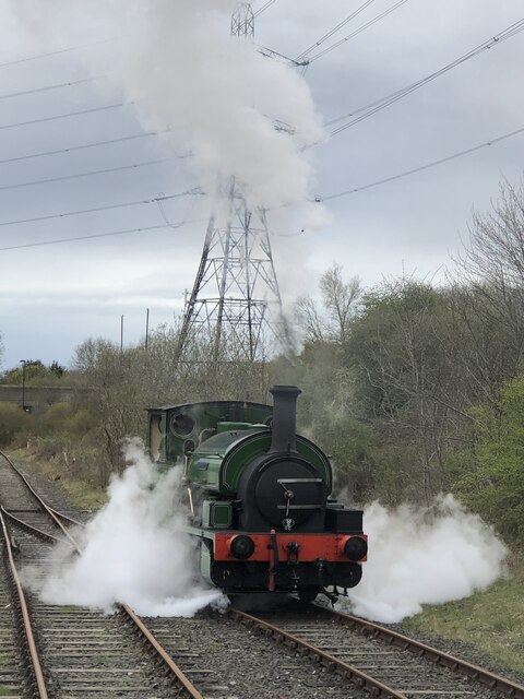
North Tyneside Steam Railway
The North Tyneside Steam Railway and Stephenson Steam Railway are visitor attractions in North Shields, North East England. The museum and railway workshops...

Norham High School
Norham High School is a coeducational secondary school located in North Shields, Tyne and Wear, England.It is a foundation school administered by North...
St Thomas More Roman Catholic Academy, North Shields
St Thomas More RC Academy is a coeducational Roman Catholic secondary school and sixth form located on Lynn Road (B1316) in North Shields, North Tyneside...

Silverlink Shopping Park
The Silverlink Shopping Park is a retail park in North Tyneside, England containing more than 20 stores with retail accommodation of 208,000 square feet...
Nearby Amenities
Located within 500m of 55.010228,-1.4805953Have you been to West Chirton?
Leave your review of West Chirton below (or comments, questions and feedback).